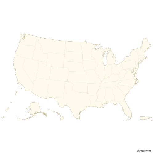
Blank Map of the United States with Outlying Territories
Download free blank Map of the United States with Outlying Territories in high-resolution PNG, PDF and SVG formats. Perfect for printing, coloring, presentations, and educational projects. Most of the maps available in different color schemes and with different features (such as labels, roads or rivers).
Maps are free to use in personal and commercial projects. See details in License & Usage section.
Available Formats
| Format | Specifications | Best For |
|---|---|---|
| PNG | 3600x3600px, transparent background (where applicable) | Printing, presentations, quick use |
| SVG | Vector format, infinitely scalable, editable paths | Scaling, editing, professional design |
| Print-ready, US Letter (8.5x11 inches) | Printing, documents, educational materials |
Downloads
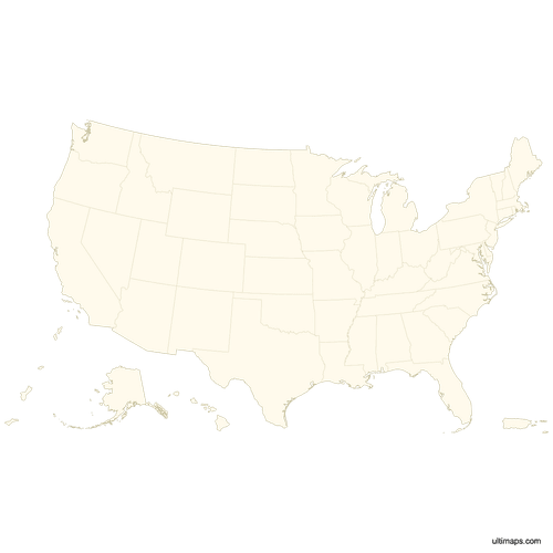 Blank Map of the United States with Outlying Territoriespng641 KB
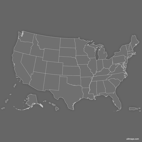 Blank Map of the United States with Outlying Territories (Dark)png763 KB
Outline Map of the United States with Outlying Territories
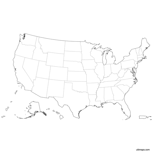 Outlined Map of the United States with Outlying Territoriespng503 KB
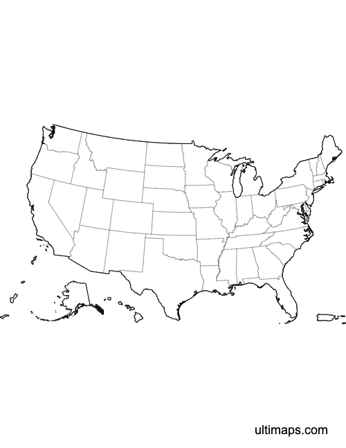 Outlined Map of the United States with Outlying Territories (Letter)pdf158 KB
Labeled Map of the United States with Outlying Territories
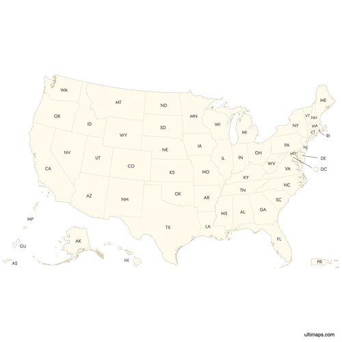 Labeled Map of the United States with Outlying Territoriespng741 KB
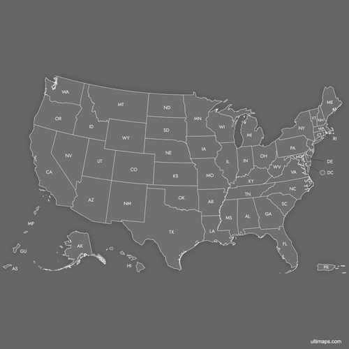 Labeled Map of the United States with Outlying Territories (Dark)png844 KB
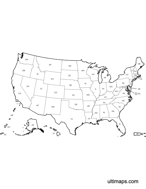 Labeled Map of the United States with Outlying Territories (Letter)pdf163 KB
Vector Map of the United States with Outlying Territories
License & Usage Terms
TLDR: These maps are free to use in personal and commercial projects with attribution. Redistributing and reselling are not allowed.
Free to use for:
- ✓Personal projects
- ✓Commercial projects
- ✓Educational materials
- ✓Publications and presentations
- ✓Websites and digital media
- ✓Printed materials
Not allowed:
- ✗Reselling or redistributing the map files themselves
- ✗Offering these maps as downloads on other websites
Requirements:
Our maps include a small attribution mark in the file. If you remove it, please credit “Ultimaps.com” or link to ultimaps.com
