Map of Illinois Counties
Illinois is divided into 102 counties. Use the interactive maps below to explore Illinois counties and their boundaries. Download free maps or learn how to create a custom map of Illinois to visualize your own data.
Interactive Map of Illinois Counties
List of Counties (102)
| # | County | County seat | Year founded |
|---|---|---|---|
| 1 | Quincy | 1825 | |
| 2 | Cairo | 1819 | |
| 3 | Greenville | 1817 | |
| 4 | Belvidere | 1837 | |
| 5 | Mount Sterling | 1839 | |
| 6 | Princeton | 1837 | |
| 7 | Hardin | 1825 | |
| 8 | Mount Carroll | 1839 | |
| 9 | Virginia | 1837 | |
| 10 | Urbana | 1833 | |
| 11 | Taylorville | 1839 | |
| 12 | Marshall | 1819 | |
| 13 | Louisville | 1824 | |
| 14 | Carlyle | 1824 | |
| 15 | Charleston | 1830 | |
| 16 | Chicago | 1831 | |
| 17 | Robinson | 1816 | |
| 18 | Toledo | 1843 | |
| 19 | — | — | |
| 20 | Sycamore | 1837 | |
| 21 | Tuscola | 1859 | |
| 22 | Wheaton | 1839 | |
| 23 | Paris | 1823 | |
| 24 | Albion | 1814 | |
| 25 | Effingham | 1831 | |
| 26 | Vandalia | 1821 | |
| 27 | Paxton | 1859 | |
| 28 | Benton | 1818 | |
| 29 | Lewistown | 1823 | |
| 30 | Shawneetown | 1812 | |
| 31 | Carrollton | 1821 | |
| 32 | Morris | 1841 | |
| 33 | McLeansboro | 1821 | |
| 34 | Carthage | 1825 | |
| 35 | Elizabethtown | 1839 | |
| 36 | Oquawka | 1841 | |
| 37 | Cambridge | 1825 | |
| 38 | Watseka | 1833 | |
| 39 | Murphysboro | 1816 | |
| 40 | Newton | 1831 | |
| 41 | Mount Vernon | 1819 | |
| 42 | Jerseyville | 1839 | |
| 43 | Galena | 1827 | |
| 44 | Vienna | 1812 | |
| 45 | Geneva | 1836 | |
| 46 | Kankakee | 1853 | |
| 47 | Yorkville | 1841 | |
| 48 | Galesburg | 1825 | |
| 49 | — | — | |
| 50 | Waukegan | 1839 | |
| 51 | Lawrenceville | 1821 | |
| 52 | Dixon | 1839 | |
| 53 | Pontiac | 1837 | |
| 54 | Lincoln | 1839 | |
| 55 | Decatur | 1829 | |
| 56 | Carlinville | 1829 | |
| 57 | Edwardsville | 1812 | |
| 58 | Salem | 1823 | |
| 59 | Lacon | 1839 | |
| 60 | Havana | 1841 | |
| 61 | Metropolis | 1843 | |
| 62 | Macomb | 1826 | |
| 63 | Woodstock | 1836 | |
| 64 | Bloomington | 1830 | |
| 65 | Petersburg | 1839 | |
| 66 | Aledo | 1825 | |
| 67 | Waterloo | 1816 | |
| 68 | Hillsboro | 1821 | |
| 69 | Jacksonville | 1823 | |
| 70 | Sullivan | 1843 | |
| 71 | Oregon | 1836 | |
| 72 | Peoria | 1825 | |
| 73 | Pinckneyville | 1827 | |
| 74 | Monticello | 1841 | |
| 75 | Pittsfield | 1821 | |
| 76 | Golconda | 1816 | |
| 77 | Mound City | 1843 | |
| 78 | Hennepin | 1825 | |
| 79 | Chester | 1795 | |
| 80 | Olney | 1841 | |
| 81 | Rock Island | 1831 | |
| 82 | Belleville | 1790 | |
| 83 | Harrisburg | 1847 | |
| 84 | Springfield | 1821 | |
| 85 | Rushville | 1825 | |
| 86 | Winchester | 1839 | |
| 87 | Shelbyville | 1827 | |
| 88 | Toulon | 1839 | |
| 89 | Freeport | 1837 | |
| 90 | Pekin | 1827 | |
| 91 | Jonesboro | 1818 | |
| 92 | Danville | 1826 | |
| 93 | Mount Carmel | 1824 | |
| 94 | Monmouth | 1825 | |
| 95 | Nashville | 1818 | |
| 96 | Fairfield | 1819 | |
| 97 | Carmi | 1815 | |
| 98 | Morrison | 1836 | |
| 99 | Joliet | 1836 | |
| 100 | Marion | 1839 | |
| 101 | Rockford | 1836 | |
| 102 | Eureka | 1841 |
Illinois Counties: Key Facts
- Total number of counties: 102
- Most populous county: Cook County - 5,275,541 people (second-most populous in the U.S.)
- Least populous county: Hardin County - 3,910 people
- Largest county by land area: McLean County - 1,183 square miles (3,065 km²)
- Smallest county by area: Putnam County - 172 square miles (445 km²)
- State capital location: Sangamon County (Springfield)
- Counties with major urban centers: Cook (Chicago), DuPage (Wheaton), Lake (Waukegan), Will (Joliet), Kane (Geneva), Madison and St. Clair (Metro-East area)
- Bordering states: Wisconsin, Iowa, Missouri, Kentucky, Indiana
- Time zone: Central Time Zone (CT)
Interesting Facts
- Cook County’s scale: With over 5.27 million residents, Cook County has more people than many U.S. states.
- Name origins: Many counties are named after rivers, Revolutionary War figures, or Native American words.
Free Downloads
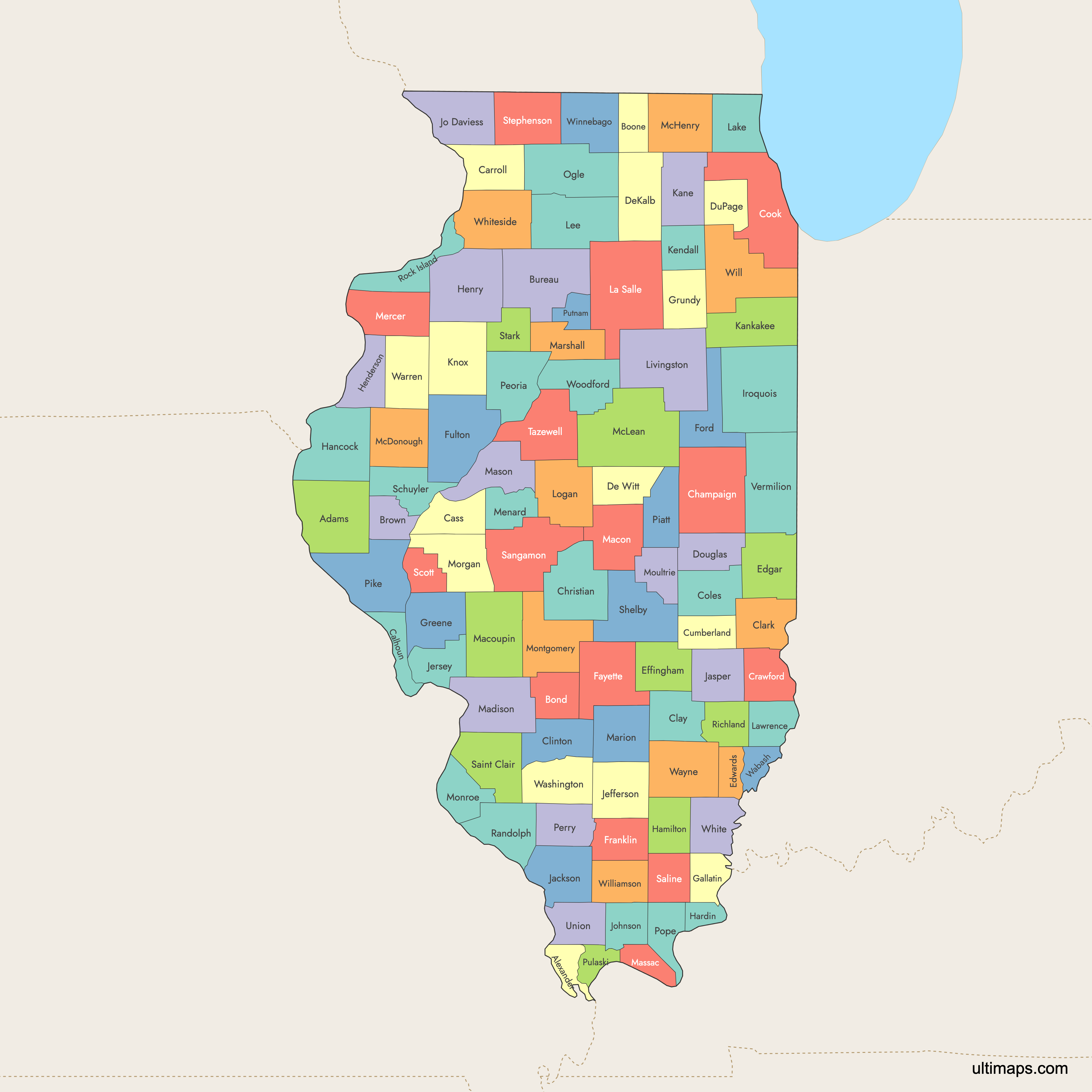
 Colored Map of Illinois Counties with Surrounding Areaspng688 KB
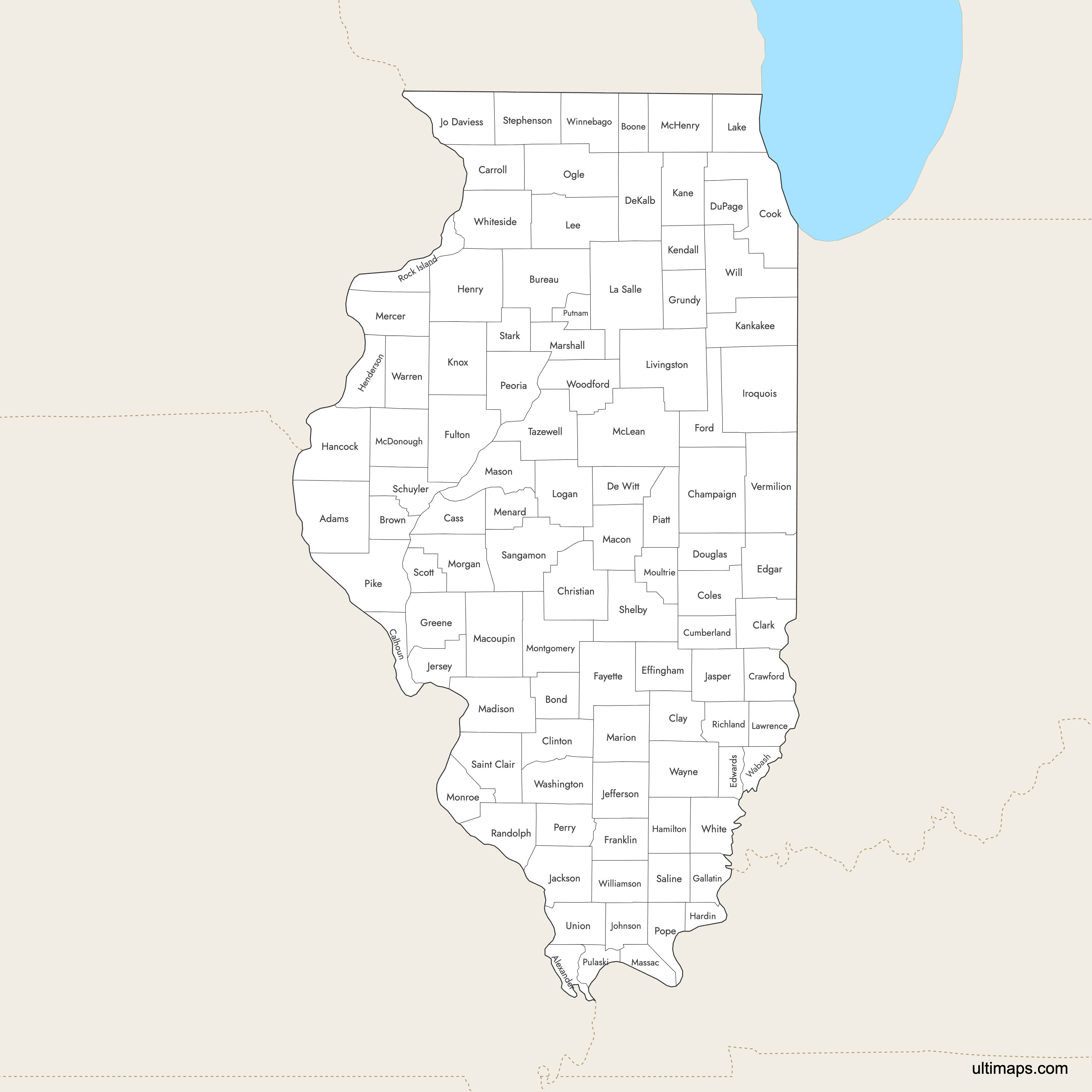
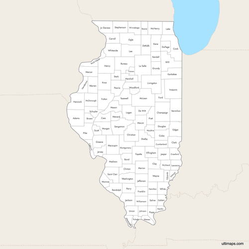 Labeled Map of Illinois Counties with Surrounding Areaspng660 KB
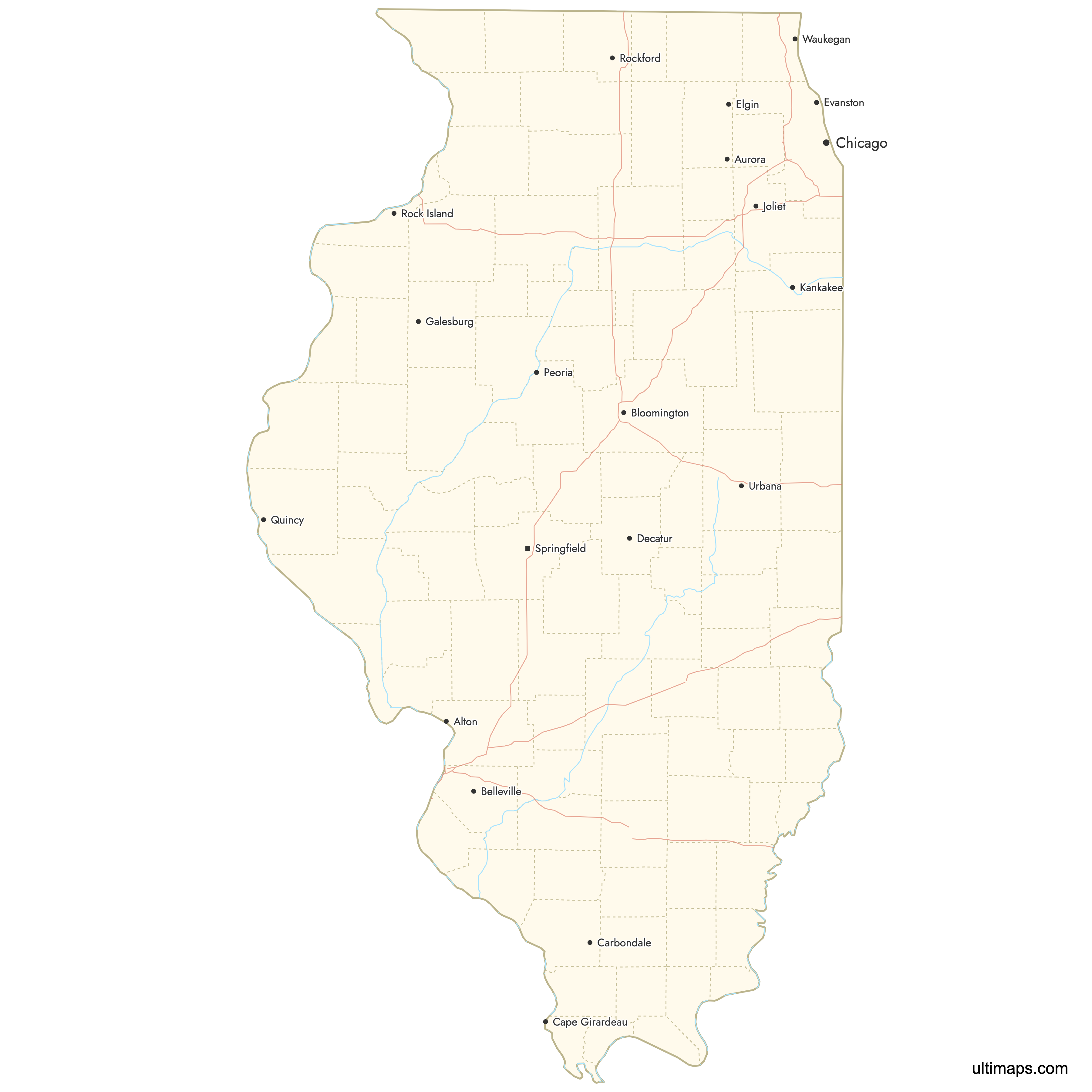
 Map of Illinois Counties with Citiespng655 KB
You can download free blank Map of Illinois Counties and other maps in high resolution PNG, SVG and PDF formats from the blank maps section of the site: Download Blank Map of Illinois Counties
Custom Map Features
This map supports labels.
This map supports surrounding areas, roads, rivers and cities. New
This map is divided into 102 counties.
Updates
Sep 4, 2025:
- Improved map quality
- Added support for surrounding areas and lakes
Aug 26, 2024:
- Added map of Illinois Counties
Frequently Asked Questions
Illinois has 102 counties.
The largest county by land area is McLean County, covering about 1,183 square miles (3,065 km²).
Cook County is the most populous, with 5,275,541 residents as of the 2020 census.
Major cities are located in counties such as Cook (Chicago), Kane (Aurora), Will (Joliet), and Sangamon (Springfield).
You can use Ultimaps to create custom maps of Illinois. Color-code counties manually or upload data, place pins, customize the look and feel, and export to PNG, PDF, or SVG.


