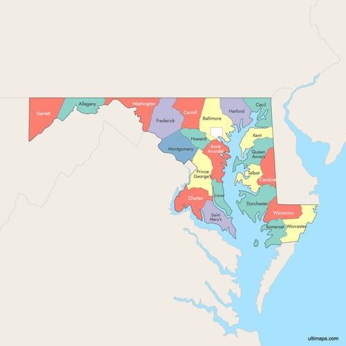
Map of Maryland Counties
Maryland consists of 23 counties and the independent Baltimore City. Explore the interactive maps below to view counties and their boundaries. Download free maps or learn how to create a custom map of Maryland to highlight your own data.
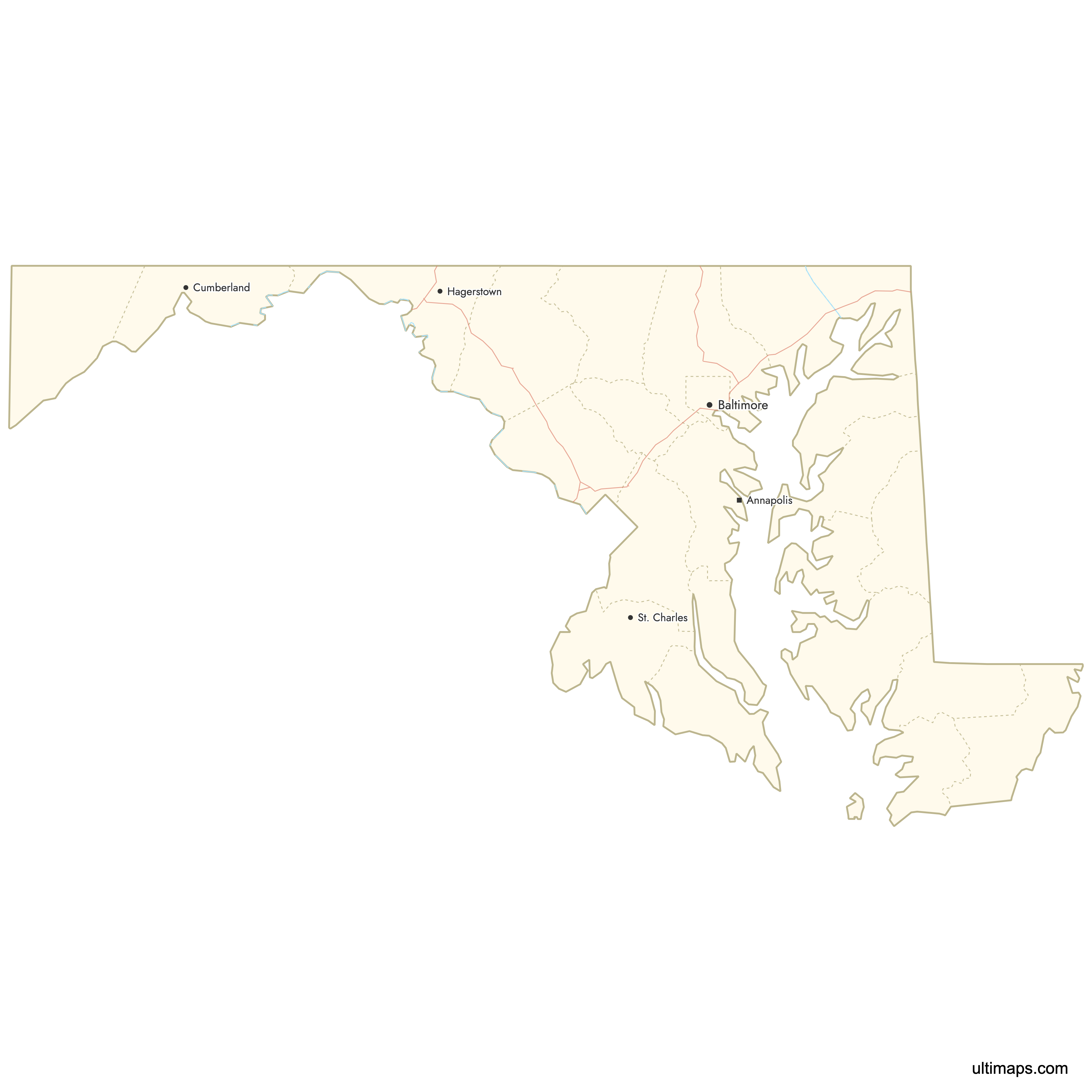
Interactive Map of Maryland Counties
List of Counties (23)
| # | County |
|---|---|
| 1 | |
| 2 | |
| 3 | |
| 4 | |
| 5 | |
| 6 | |
| 7 | |
| 8 | |
| 9 | |
| 10 | |
| 11 | |
| 12 | |
| 13 | |
| 14 | |
| 15 | |
| 16 | |
| 17 | |
| 18 | |
| 19 | |
| 20 | |
| 21 | |
| 22 | |
| 23 |
Maryland Counties: Key Facts
- Total number of counties: 23 counties and independent Baltimore City
- Most populous county: Montgomery County with about 1,065,000 residents
- Least populous county: Kent County with approximately 19,000–20,000 residents
- Largest county by land area: Garrett County - 647.1 square miles (1,676.0 km²)
- Smallest by area: Howard County - 251.5 square miles (651.4 km²)
- Counties with major urban centers: Montgomery (Rockville), Prince George’s (Upper Marlboro), Baltimore City (Baltimore)
- State capital location: Anne Arundel County (Annapolis)
- Bordering states: Pennsylvania, Delaware, Virginia, West Virginia
- Time zone: Eastern Time Zone (ET)
Interesting Facts
- Independent Baltimore City: Functions as its own county-equivalent jurisdiction
- Chesapeake Bay Geography: Some counties have over 30% of their area covered by water
- Regional Diversity: Western counties are mountainous, while Eastern Shore counties are flat and coastal
- Few Local Governments: Maryland has among the fewest local governments per state in the U.S.
Free Downloads
 Colored Map of Maryland Counties with Surrounding Areaspng718 KB
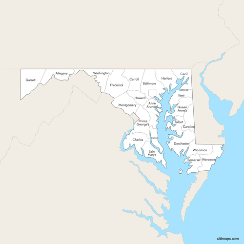 Labeled Map of Maryland Counties with Surrounding Areaspng712 KB
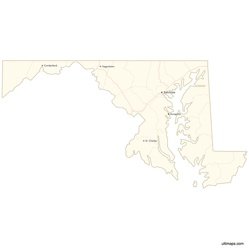 Map of Maryland Counties with Citiespng482 KB

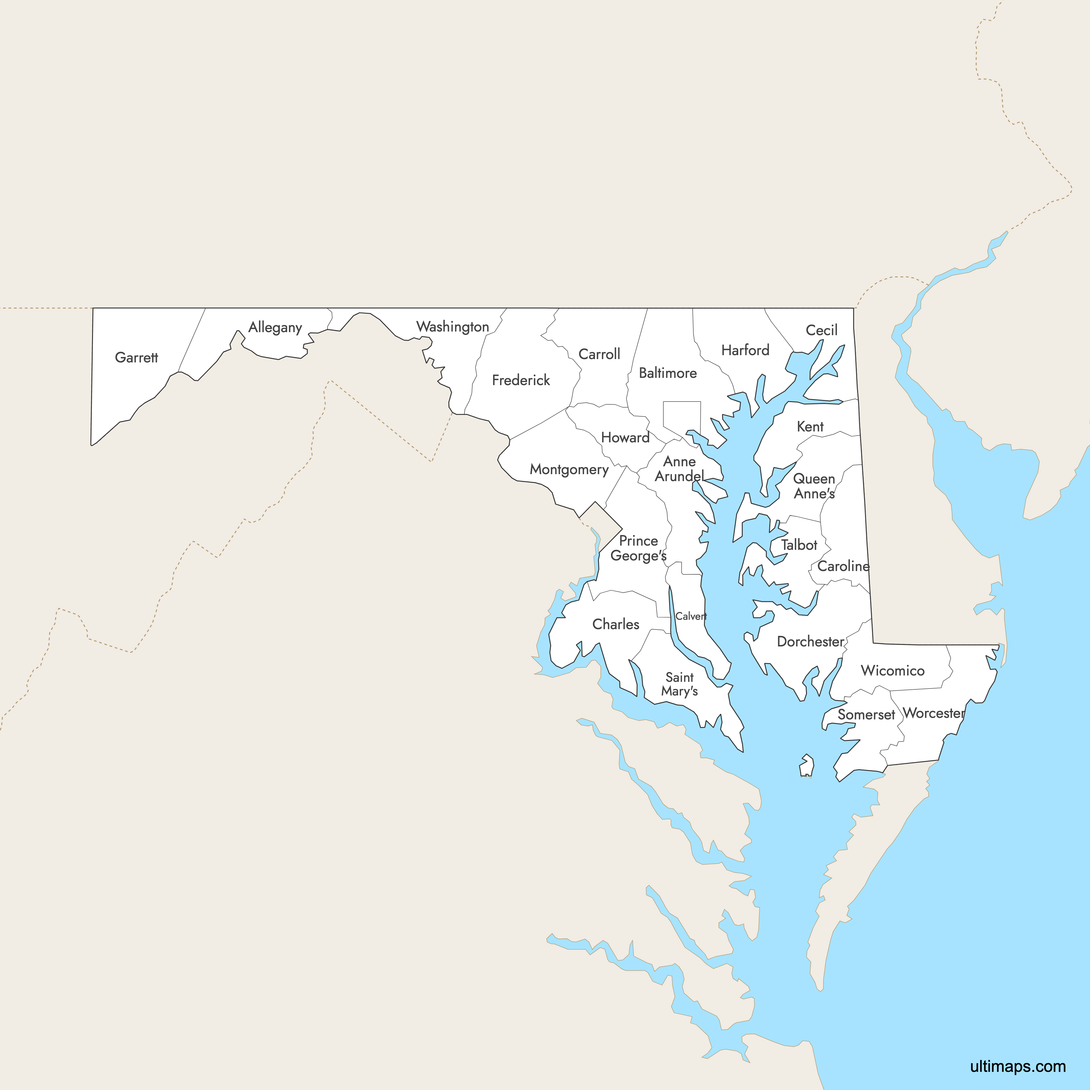
You can download free blank Map of Maryland Counties and other maps in high resolution PNG, SVG and PDF formats from the blank maps section of the site: Download Blank Map of Maryland Counties
Custom Map Features
This map supports labels.
This map supports surrounding areas, roads, rivers and cities. New
This map is divided into 23 counties.
Updates
Sep 15, 2025:
- Improved map quality
- Added support for surrounding areas and lakes
Aug 26, 2024:
- Added map of Maryland Counties
Frequently Asked Questions
Maryland has 23 counties. In addition, Baltimore City is an independent city that is treated as a county-level jurisdiction, so there are 24 main local jurisdictions.
The largest county by land area is Garrett County, with 647.1 square miles (1,676.0 km²) of land.
The most populous county is Montgomery County, with about 1,065,000 residents.
You can use Ultimaps to create custom maps of Maryland. Color-code counties manually or upload data, place pins, customize the look and feel, and export to PNG, PDF or SVG.


