Map of Utah Counties
Utah is divided into 29 counties. Use the interactive maps below to explore county boundaries and download free maps or learn more about creating a custom map of Utah.
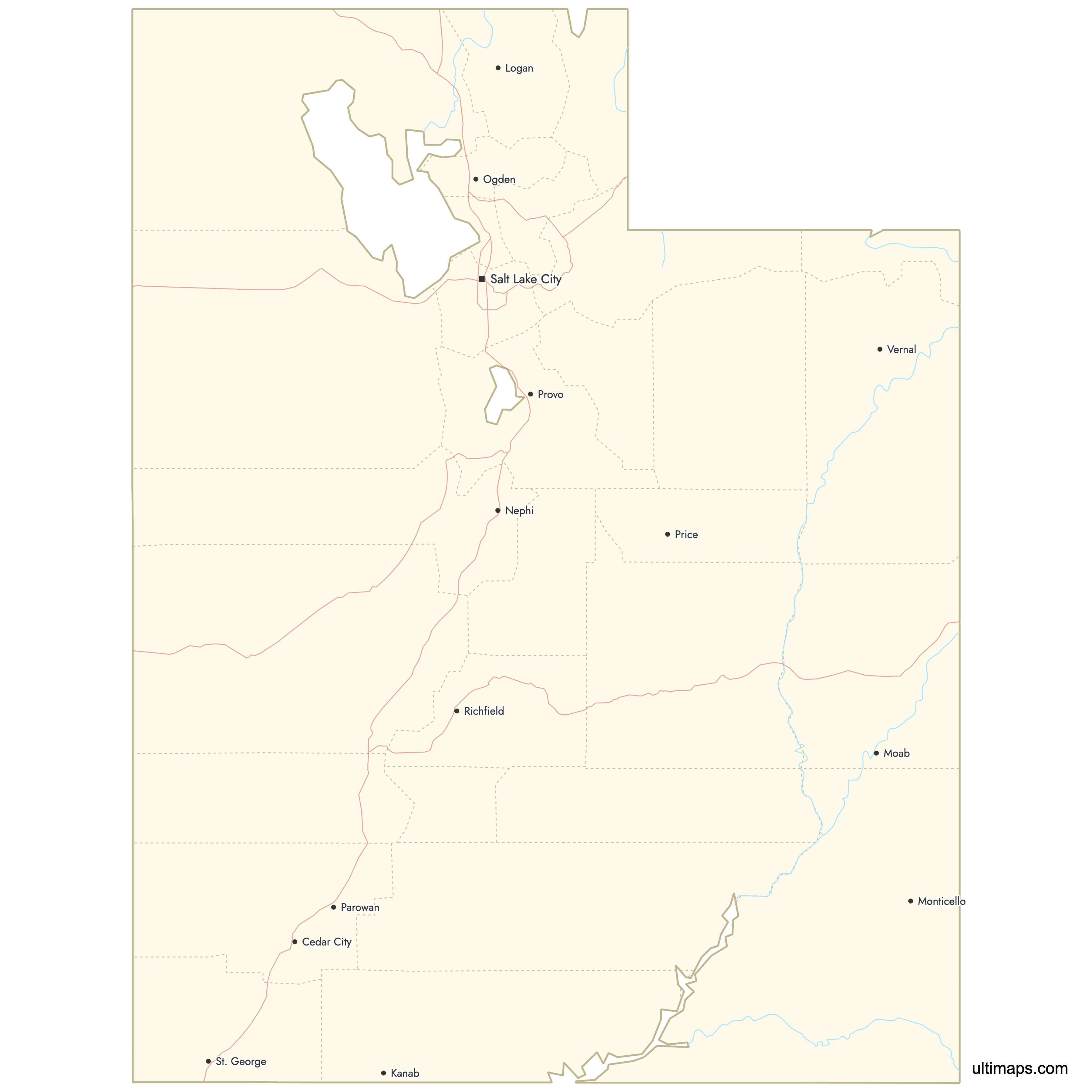
Interactive Map of Utah Counties
List of Counties (29)
| # | County | County seat | Year founded |
|---|---|---|---|
| 1 | Beaver | 1856 | |
| 2 | Brigham City | 1856 | |
| 3 | Logan | 1857 | |
| 4 | Price | 1894 | |
| 5 | Manila | 1919 | |
| 6 | Farmington | 1850 | |
| 7 | Duchesne | 1913 | |
| 8 | Castle Dale | 1880 | |
| 9 | Panguitch | 1882 | |
| 10 | Moab | 1890 | |
| 11 | Parowan | 1850 | |
| 12 | Nephi | 1852 | |
| 13 | Kanab | 1864 | |
| 14 | Fillmore | 1851 | |
| 15 | Morgan | 1862 | |
| 16 | Junction | 1865 | |
| 17 | Randolph | 1864 | |
| 18 | Salt Lake City | 1849 | |
| 19 | Monticello | 1880 | |
| 20 | Manti | 1849 | |
| 21 | Richfield | 1862 | |
| 22 | Coalville | 1854 | |
| 23 | Tooele | 1849 | |
| 24 | Vernal | 1880 | |
| 25 | Provo | 1849 | |
| 26 | Heber City | 1862 | |
| 27 | St. George | 1852 | |
| 28 | Loa | 1892 | |
| 29 | Ogden | 1849 |
Utah Counties: Key Facts
- Total number of counties: 29
- Largest county by area: San Juan County - 7,821 square miles (20,260 km²)
- Smallest county by area: Davis County - 304 square miles (790 km²)
- Most populous county: Salt Lake County with 1,185,238 people
- Least populous county: Daggett County with 935 people
- Neighboring states: Idaho, Wyoming, Colorado, Arizona, Nevada
- Timezone: Mountain Time
Interesting Facts
- Early county formation: Started with 7 counties in 1849 under the State of Deseret.
- Stable boundaries: Existing 29-county system has been stable since the early 20th century.
- Unique geographic feature: Four Corners monument in San Juan County
- Historic capital: Fillmore in Millard County was once Utah's territorial capital.
- Climate difference: Washington County is known for its warmer climate compared to the rest of Utah.
Free Downloads
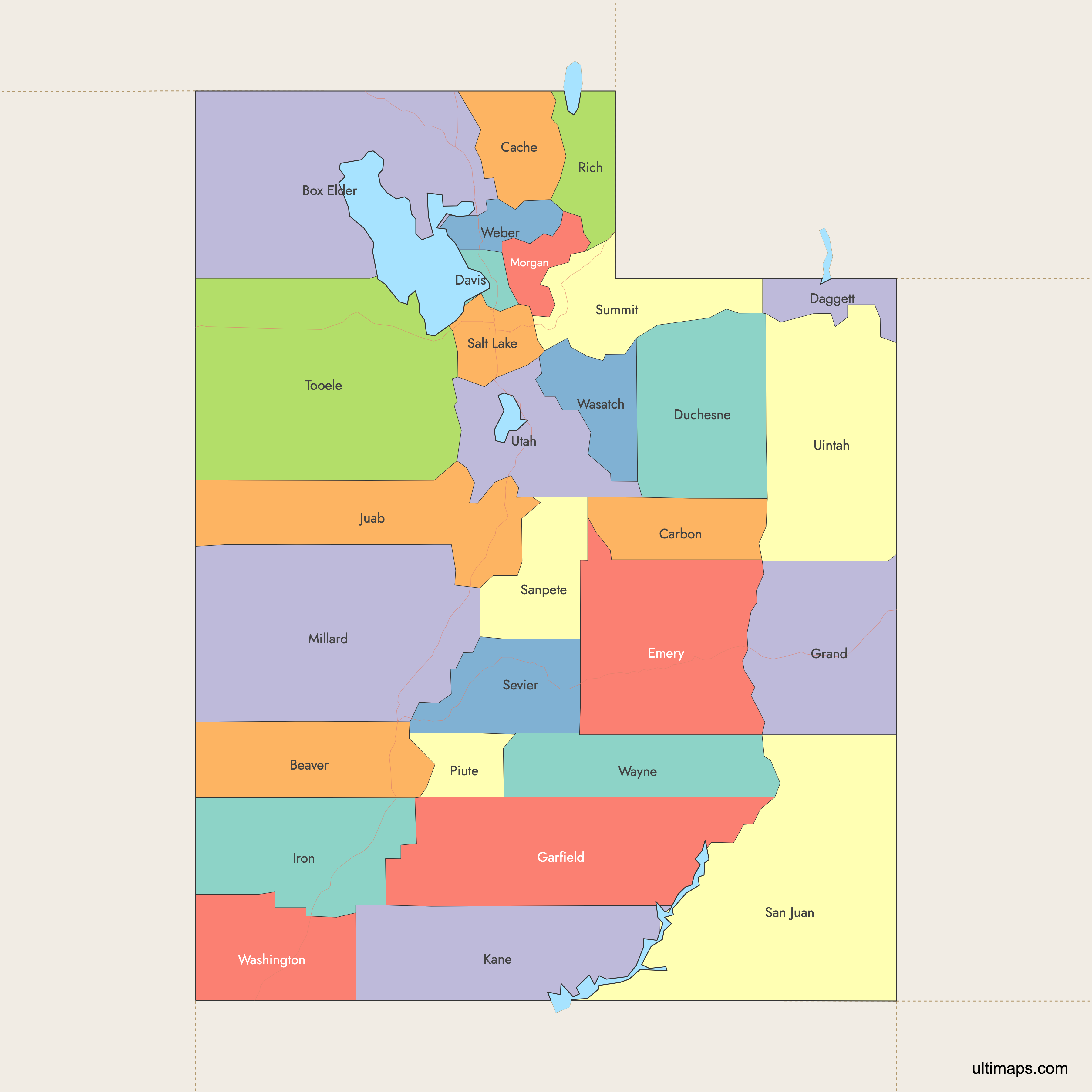
 Colored Map of Utah Counties with Surrounding Areaspng404 KB
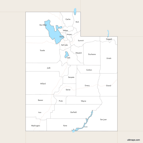 Labeled Map of Utah Counties with Surrounding Areaspng397 KB
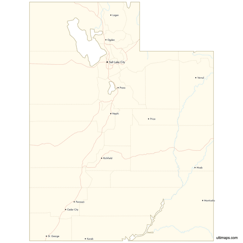 Map of Utah Counties with Citiespng566 KB
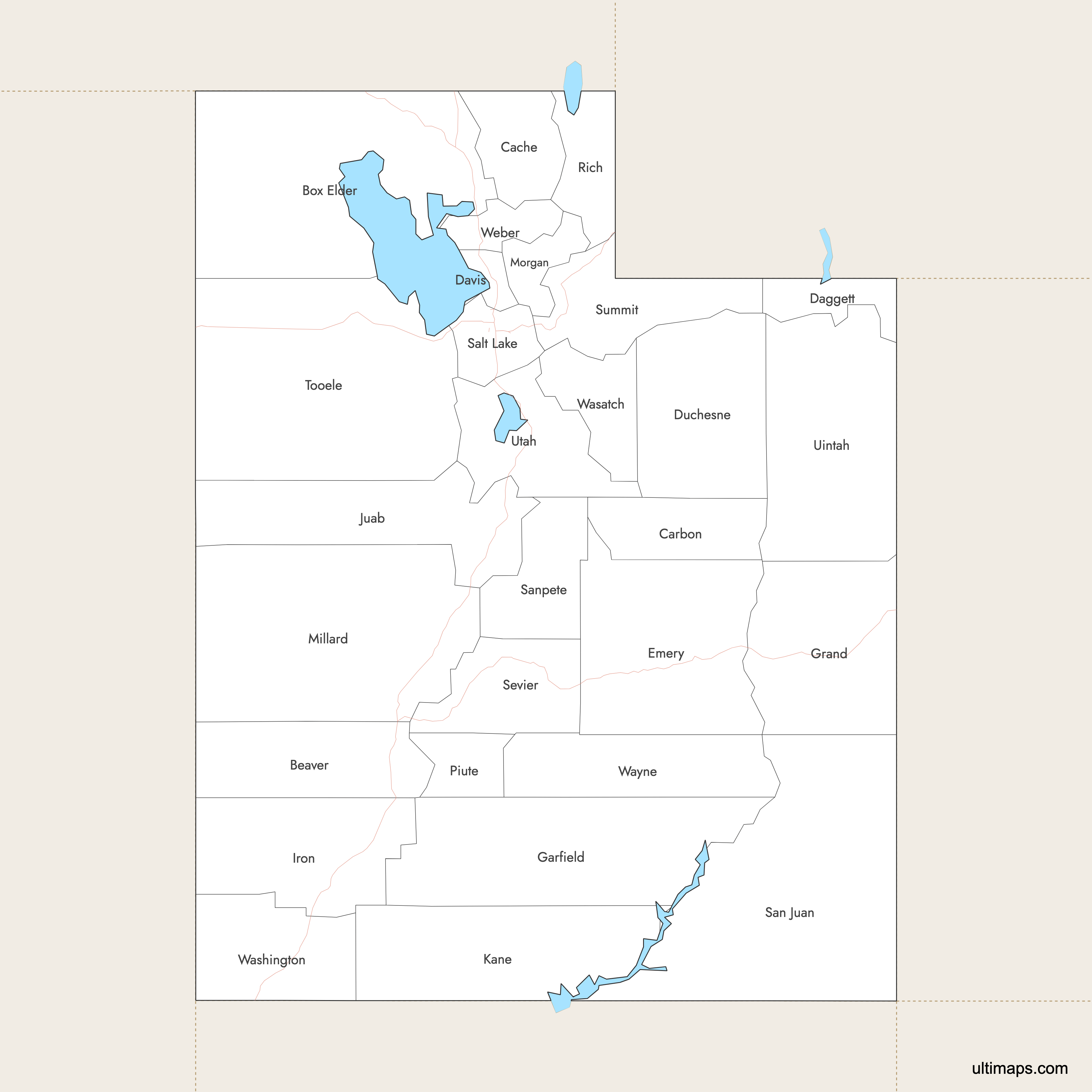
You can download free blank Map of Utah Counties and other maps in high resolution PNG, SVG and PDF formats from the blank maps section of the site: Download Blank Map of Utah Counties
Custom Map Features
This map supports labels.
This map supports surrounding areas, roads, rivers and cities. New
This map is divided into 29 counties.
Updates
Jan 12, 2026:
- Improved map quality
- Added support for surrounding areas and lakes
Aug 26, 2024:
- Added map of Utah Counties
Frequently Asked Questions
Utah has 29 counties. The county system expanded from an initial group of 7 counties in 1849 to the current 29.
The largest county in Utah is San Juan County, covering 7,821 square miles (20,260 km²).
The smallest county in Utah is Davis County, with an area of 304 square miles (790 km²).
Salt Lake County is the most populous with 1,185,238 residents according to the 2020 Census.
Daggett County is the least populous, with 935 residents as of the 2020 Census.
Major county seats include Salt Lake City (Salt Lake County), Provo (Utah County), and St. George (Washington County).
You can use Ultimaps to create custom maps of Utah. Color-code counties manually or upload data, place pins, customize look and feel, and export to PNG, PDF, or SVG.


