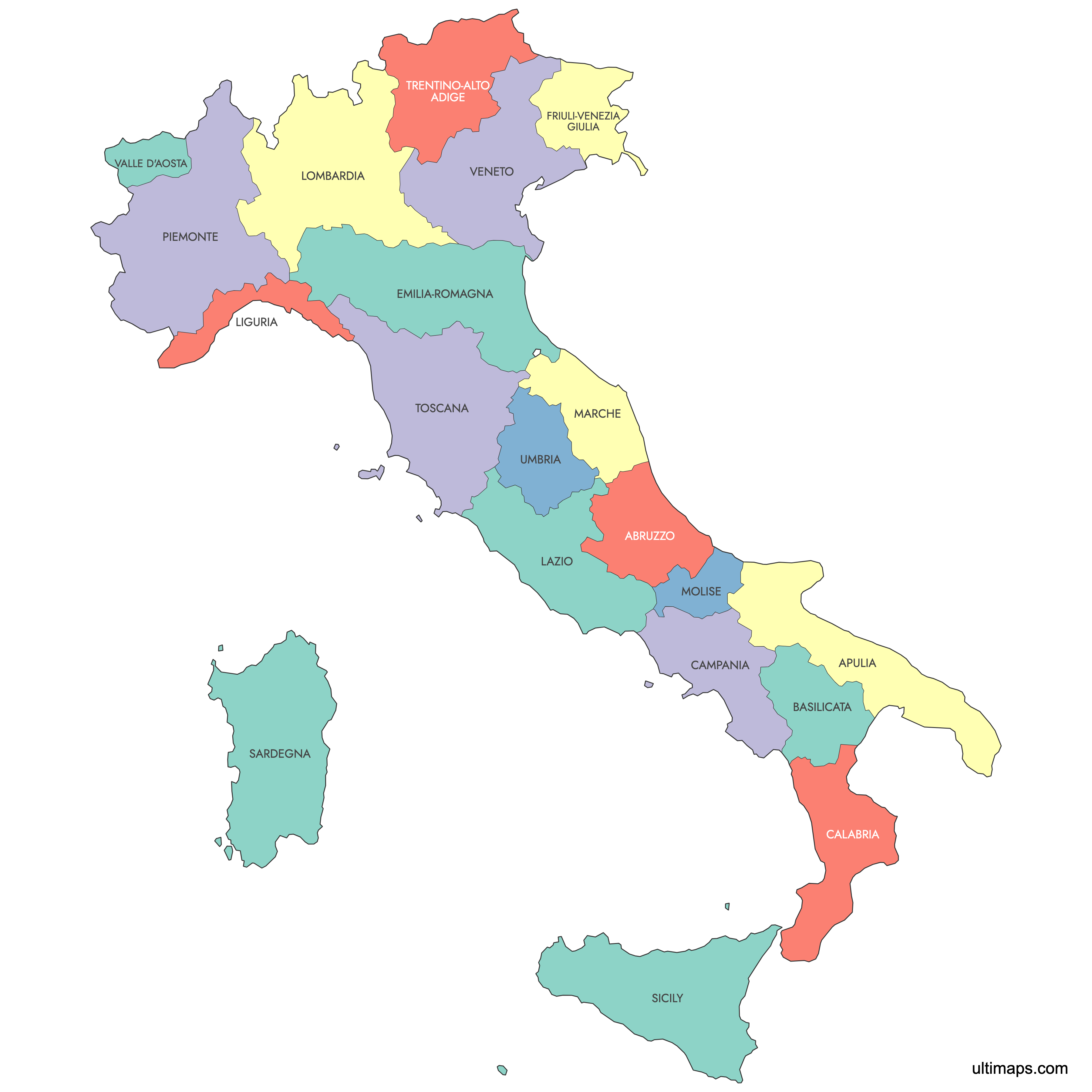
Map of Italy Regions
Italy consists of 20 regions, each serving as a primary administrative division of the country. Five regions have special autonomous status, reflecting Italy's diverse cultural and linguistic heritage. Use the interactive maps below to explore the regions and their boundaries. Download free maps or learn more about creating a custom map of Italy to visualize your own data.
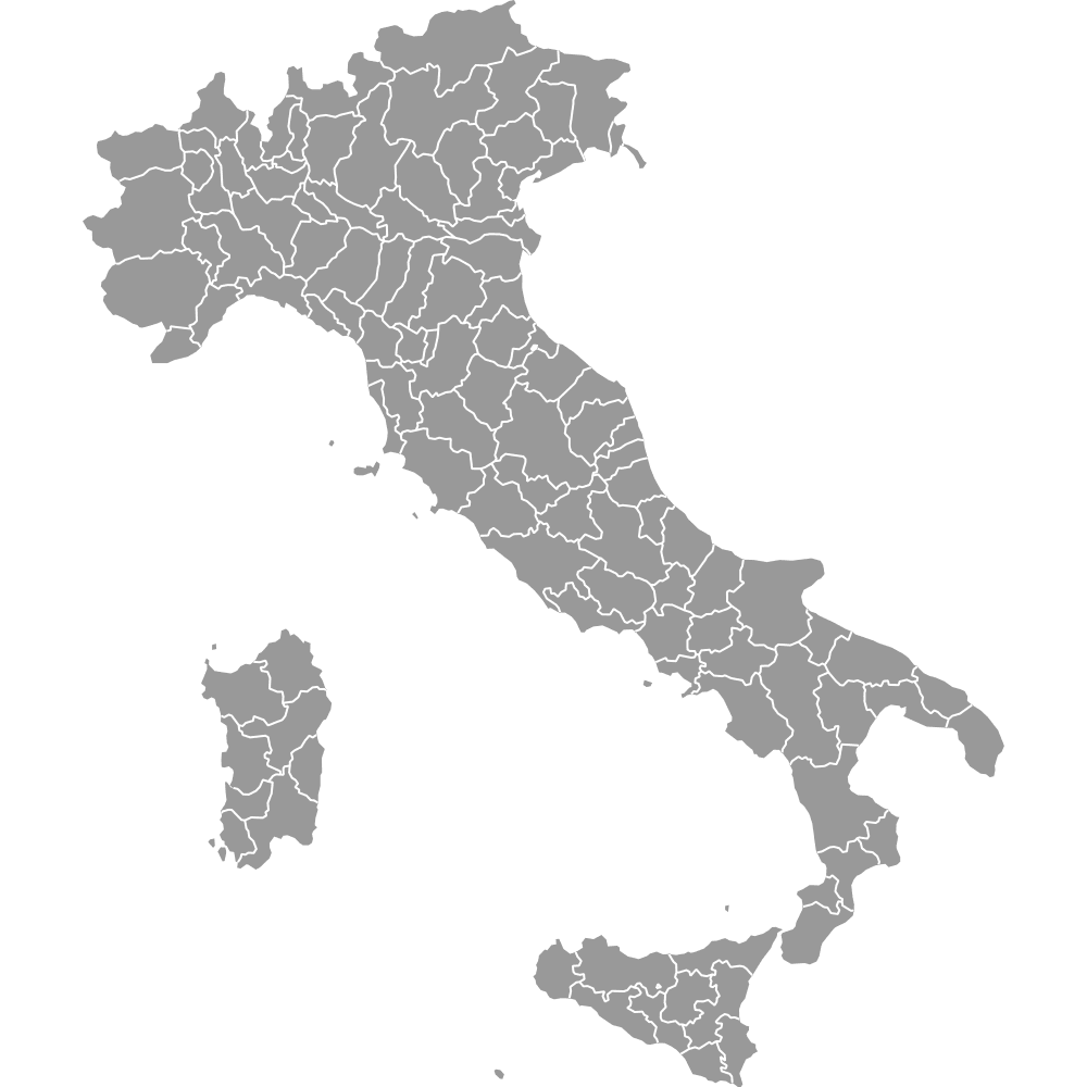
See also: Map of Italy's provinces
Interactive Map of Italy Regions
List of Regions (20)
| # | Region |
|---|---|
| 1 | |
| 2 | |
| 3 | |
| 4 | |
| 5 | |
| 6 | |
| 7 | |
| 8 | |
| 9 | |
| 10 | |
| 11 | |
| 12 | |
| 13 | |
| 14 | |
| 15 | |
| 16 | |
| 17 | |
| 18 | |
| 19 | |
| 20 |
Italy Regions: Key Facts
- Total number of regions: 20
- Autonomous regions: Aosta Valley, Friuli-Venezia Giulia, Sardinia, Sicily, Trentino-South Tyrol
- Major economic center: Lombardy with Milan
- Largest region by area: Sicily - 25,711 km² (9,927 sq mi)
- Most populous region: Lombardy - approx. 10 million residents
- Smallest region by area: Aosta Valley - 3,263 km² (1,260 sq mi)
- Regions with major urban centers: Lazio (Rome), Campania (Naples), Lombardy (Milan), Sicily (Palermo)
- Geographical macro-regions: North-West, North-East, Centre, South, Islands
- Borders with: France, Switzerland, Austria, Slovenia, and Monaco
Interesting Facts
- The regions of Italy are organized into four macro-regions: North-West, North-East, Centre, and South, with Islands as a separate category.
- Tuscany is celebrated for its contribution to art and fashion, while Lombardy is known for its industrial and financial prowess.
Free Downloads
You can download free blank Map of Italy Regions and other maps in high resolution PNG, SVG and PDF formats from the blank maps section of the site: Download Blank Map of Italy Regions
Custom Map Features
This map supports labels.
This map is divided into 20 regions.
Updates
Sep 28, 2023:
- Added map of Italy Regions
Frequently Asked Questions
The autonomous regions in Italy are Aosta Valley, Friuli-Venezia Giulia, Sardinia, Sicily, and Trentino-South Tyrol. They have special legislative and financial powers.
Italy is divided into 20 regions, each serving as a primary administrative division.
You can use Ultimaps Studio to create custom maps of Italy. Customize regions, add data, place pins, and export to PNG, PDF or SVG formats.