
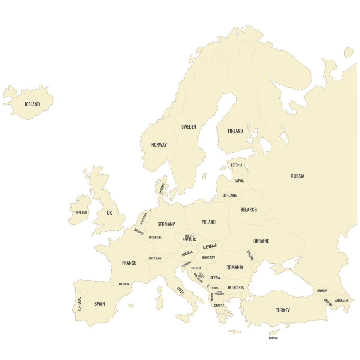
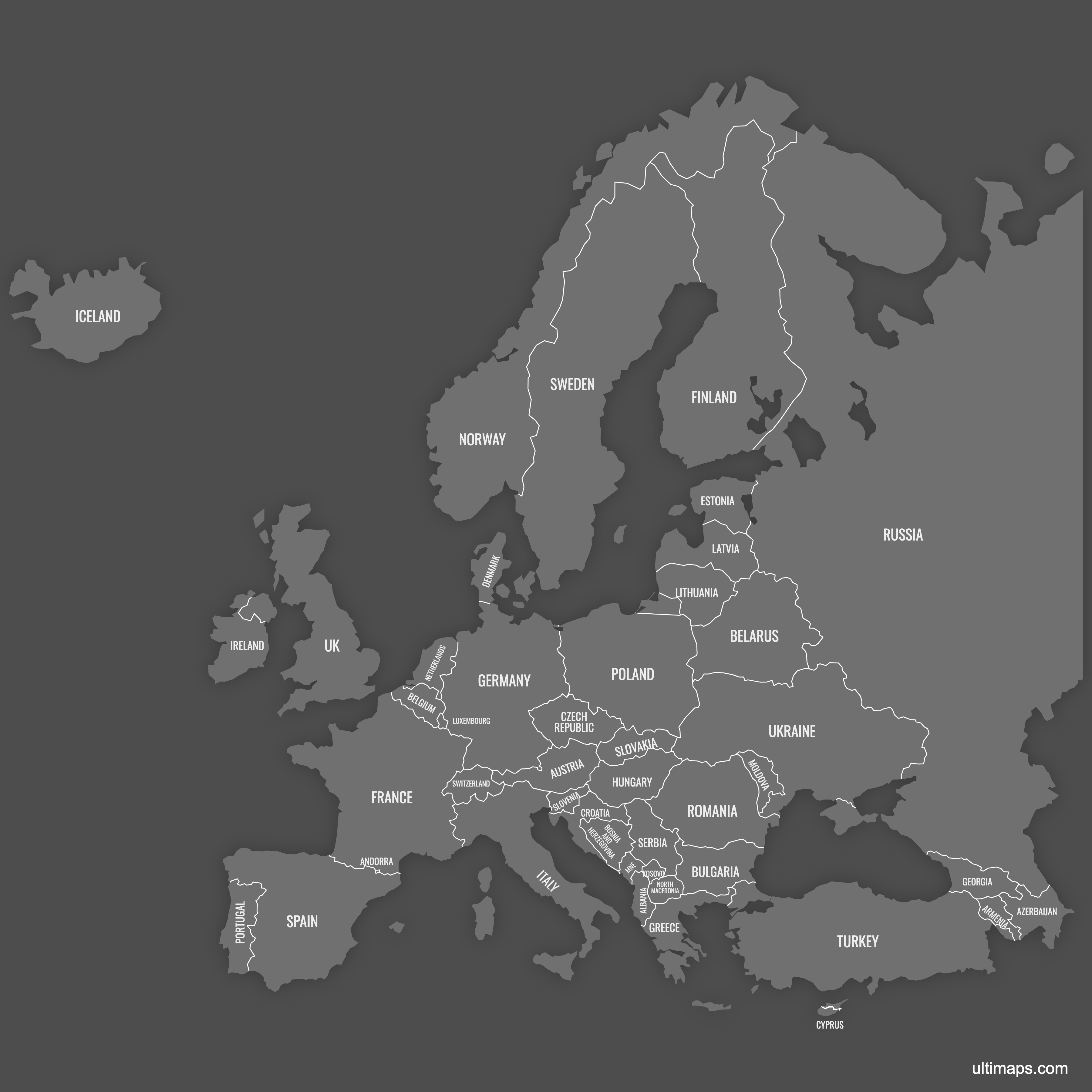
Map of Europe Countries
Create a custom map of Europe divided by its countries, ready to download as a high-resolution PNG, SVG, or PDF for use in documents, presentations, or websites. You can import your data from Excel, Google Sheets, or CSV files to automatically color each European country based on your information. Add pins to highlight capital cities or key locations.
Manual coloring gives you the flexibility to highlight specific countries, sales regions, or service areas. If you want an interactive option, you can design a map for your website where users can click or hover over each European country to display additional details tied to your data.
Map Details
This map supports labels.
This map is divided into 46 countries:
- Albania
- Andorra
- Armenia
- Austria
- Azerbaijan
- Belarus
- Belgium
- Bosnia and Herzegovina
- Bulgaria
- Croatia
- Cyprus
- Czech Republic
- Denmark
- Estonia
- Finland
- France
- Georgia
- Germany
- Greece
- Hungary
- Iceland
- Ireland
- Italy
- Kosovo
- Latvia
Check out the related maps below if you're looking for a different map of the same geographic region.
Related Maps
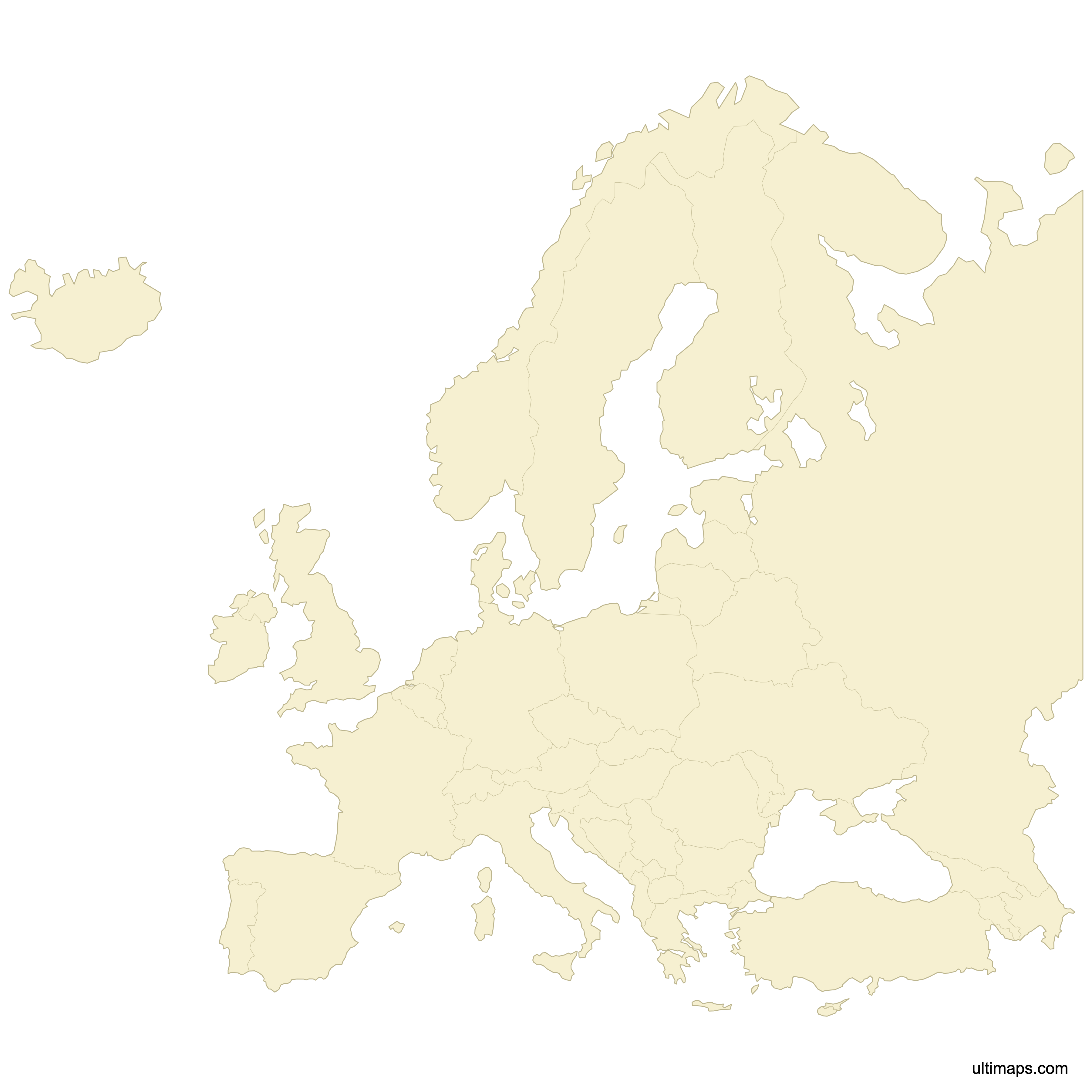
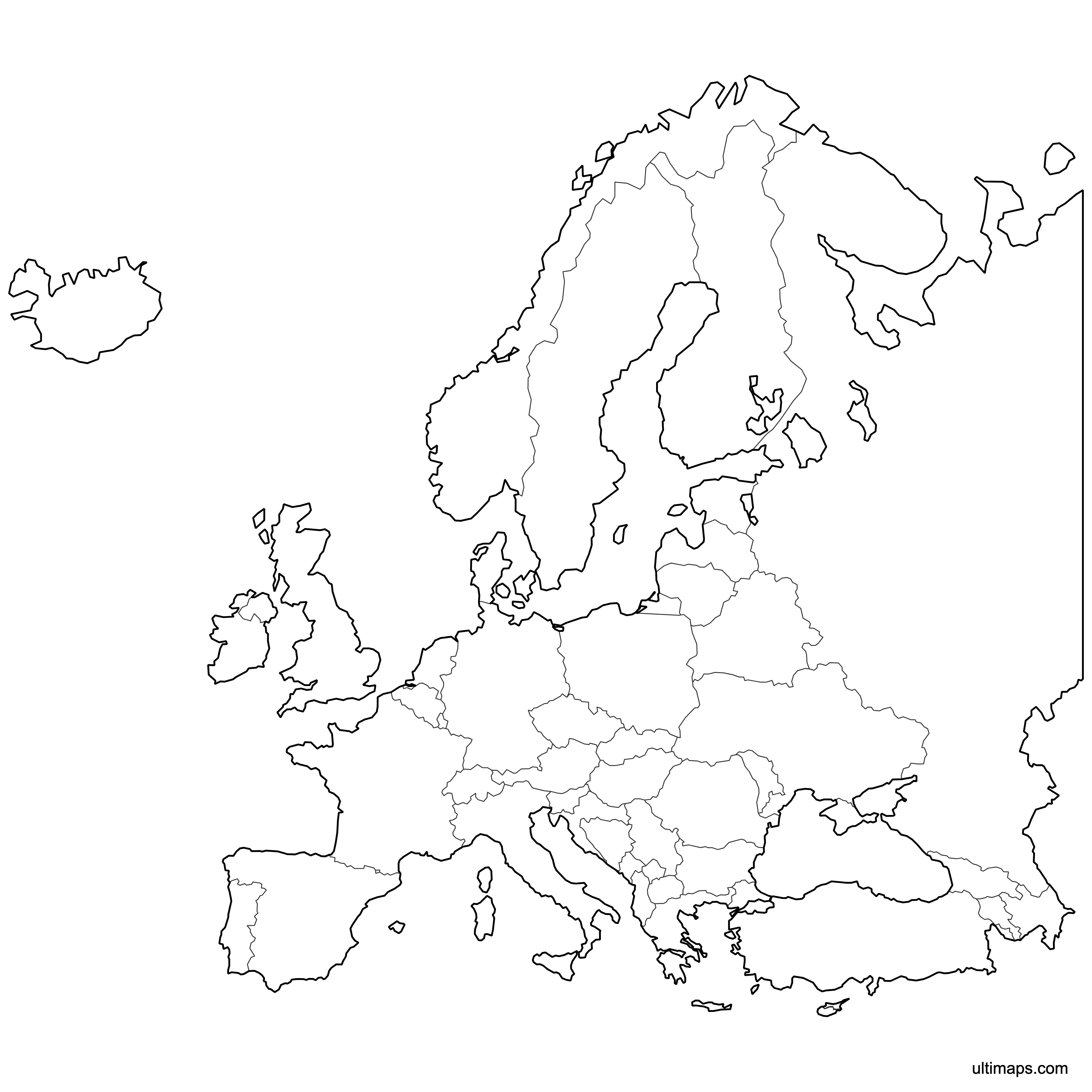
Download Map of Europe Countries
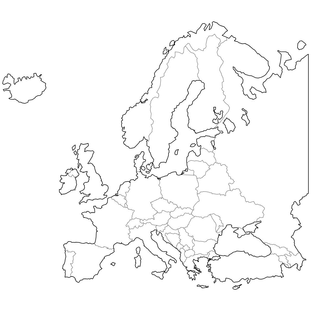
Below you can download free printable Map of Europe Countries in high resolution PNG or SVG formats.
If you need different colors or features, you can customize this map in Ultimaps Studio.


About Europe Countries
Europe comprises over 40 countries, spanning from Iceland in the west to Russia in the east. These countries vary significantly in size, population, and administrative structure. European borders have changed repeatedly throughout history, and the continent features both recognized sovereign nations and several partially recognized states.
Key facts about the map of Europe countries:
- Number of countries: Around 44 internationally recognized, plus a few territories with limited recognition
- Largest country by area: Russia (European part)
- Smallest country: Vatican City
- Most populous country: Germany
- Common administrative divisions: Countries, regions, provinces
- EU member countries: 27
- Notable boundaries: Natural borders (mountain ranges, rivers) and historic shifts post-20th century
- Some disputed territories and transcontinental countries (e.g., Turkey, Russia)
Updates
Nov 21, 2024:
- Added Russia and removed Canary islands
Nov 1, 2024:
- Added labels
Oct 27, 2023:
- Added map of European Countries