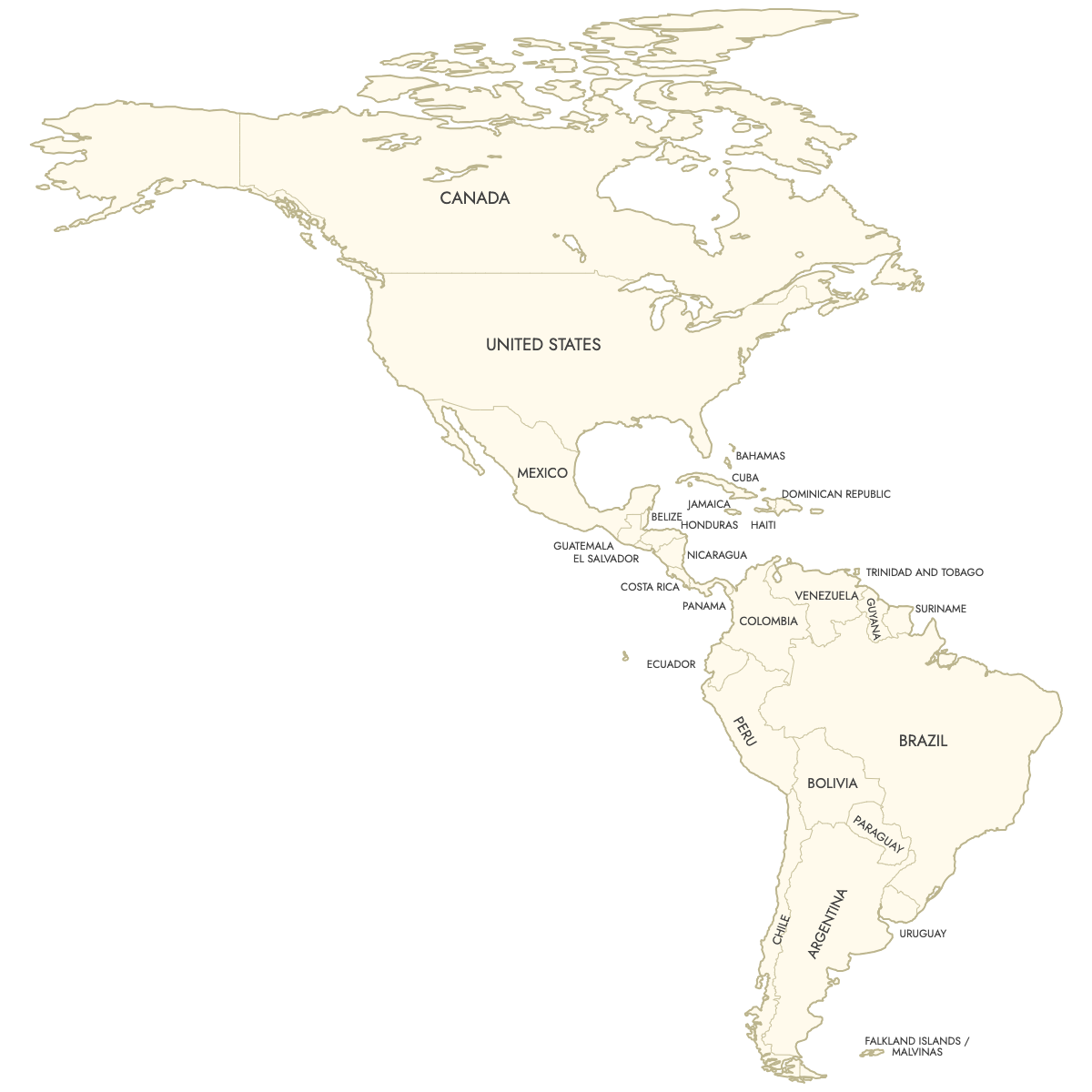
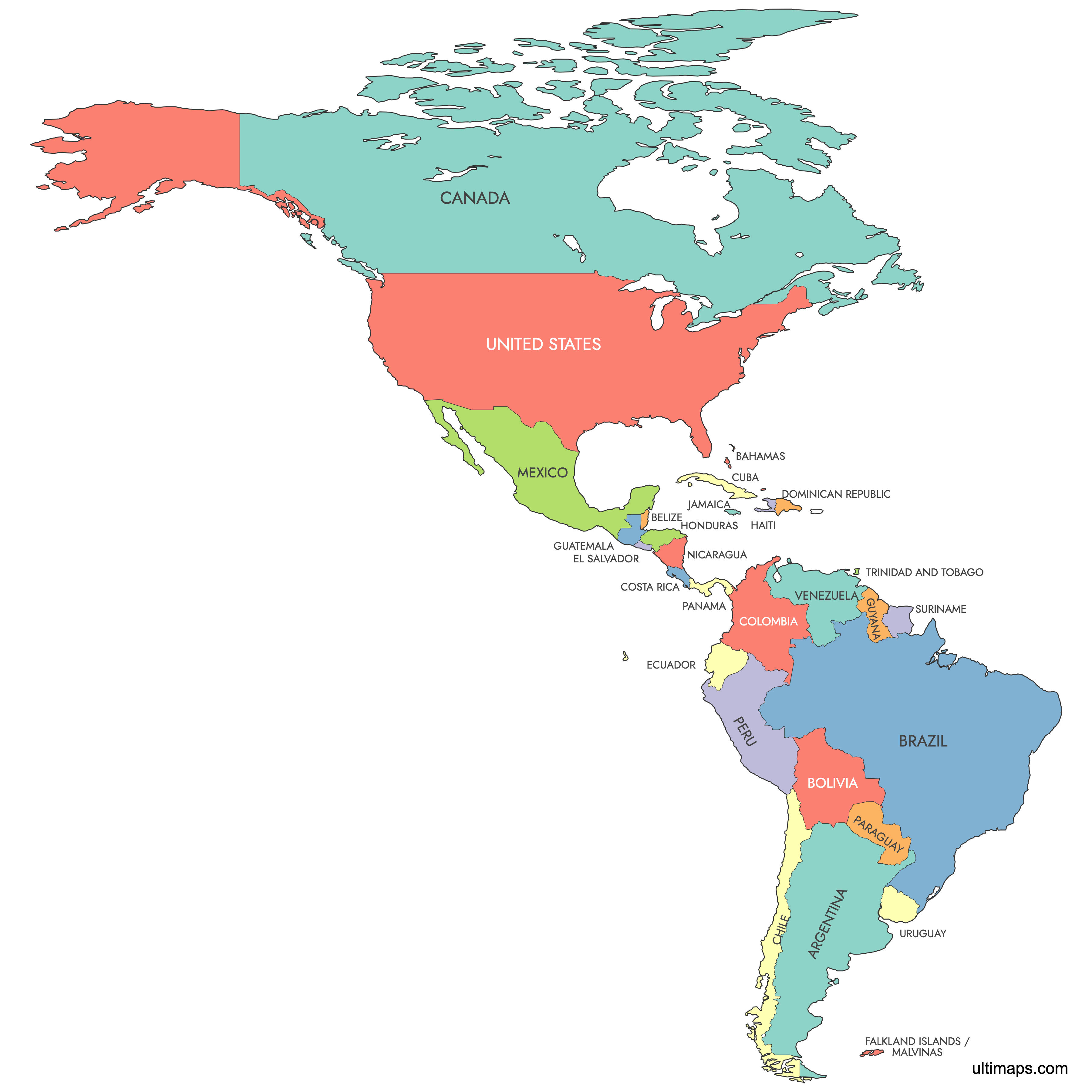
Unstyled Map of Americas With Labels
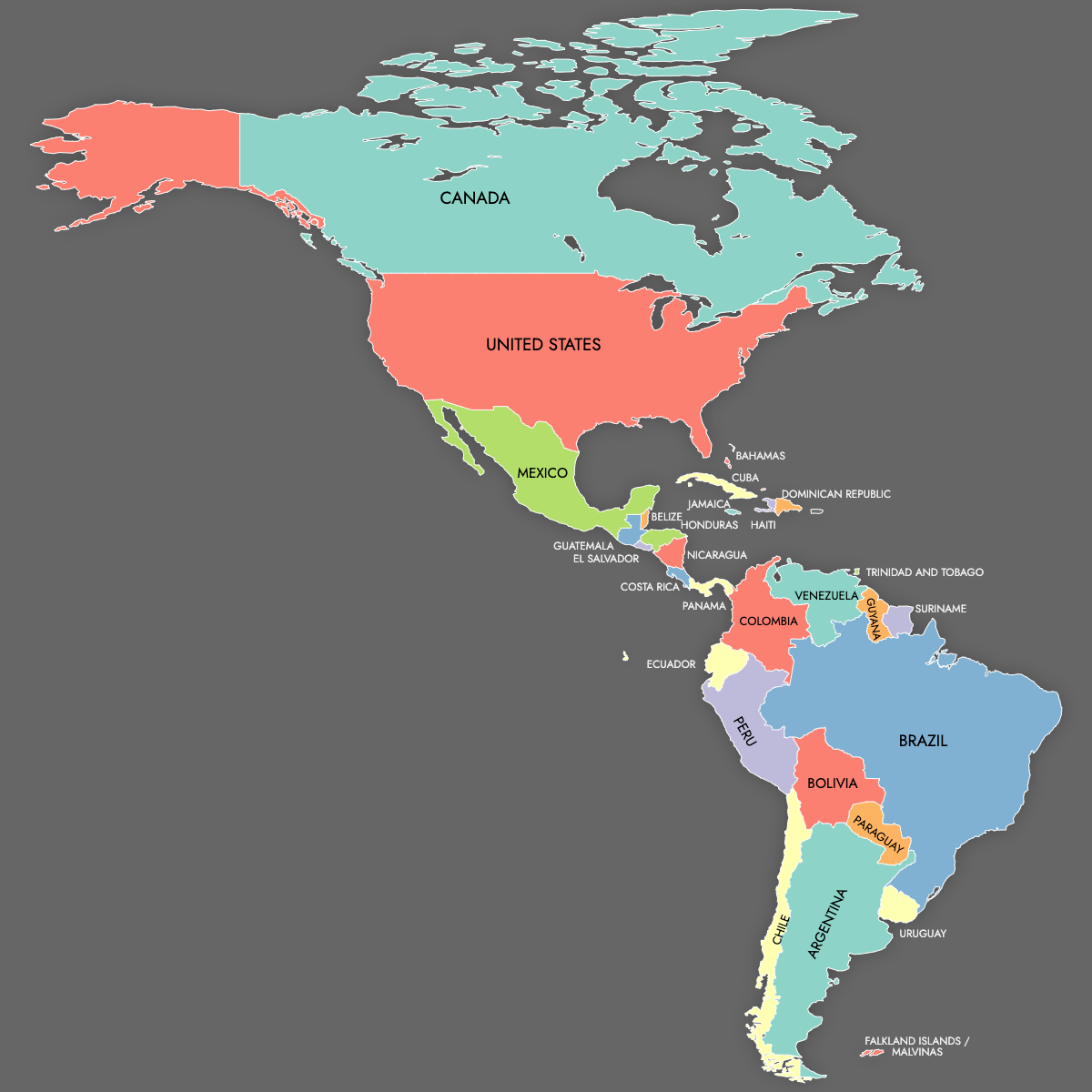
Map of Americas
Create a map of the countries in the Americas and export it as a high-quality printable format or for use in presentations. Alternatively, you can develop an interactive map to share or embed on your website.
Map Details
This map supports labels.
This map is divided into 29 countries:
- Argentina
- Bahamas
- Belize
- Bolivia
- Brazil
- Canada
- Chile
- Colombia
- Costa Rica
- Cuba
- Dominican Republic
- Ecuador
- El Salvador
- Falkland Islands / Malvinas
- Guatemala
- Guyana
- Haiti
- Honduras
- Jamaica
- Mexico
- Nicaragua
- Panama
- Paraguay
- Peru
- Suriname
Check out the related maps below if you're looking for a different map of the same geographic region.
Related Maps
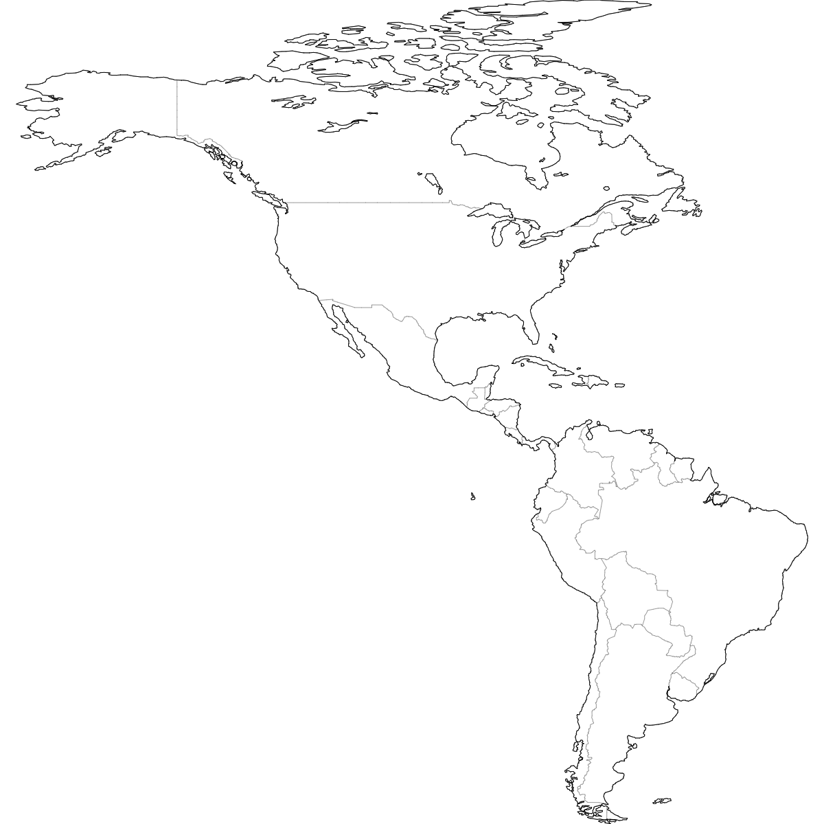
Free Downloads
You can download free blank Map of Americas and other maps in high resolution PNG, SVG and PDF formats from the blank maps section of the site: Download Blank Map of Americas
Updates
Aug 23, 2024:
- Added map of Americas