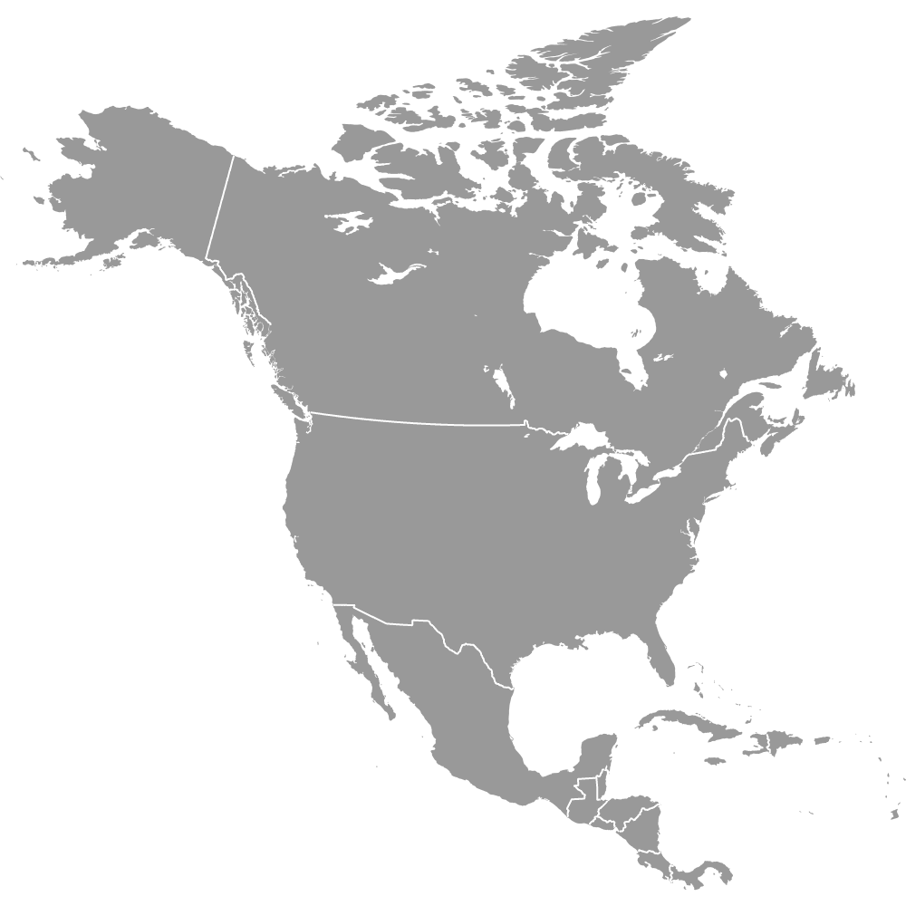
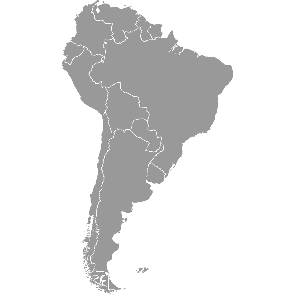
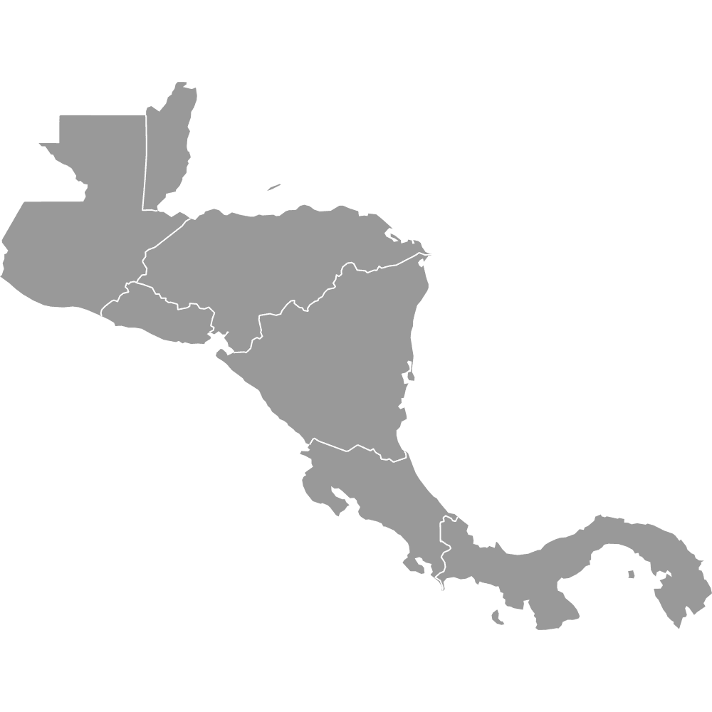
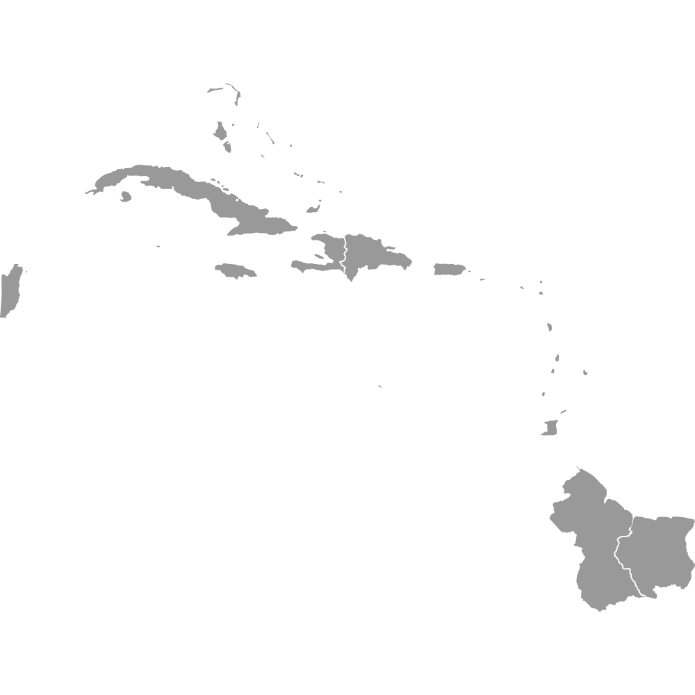
Map of Americas
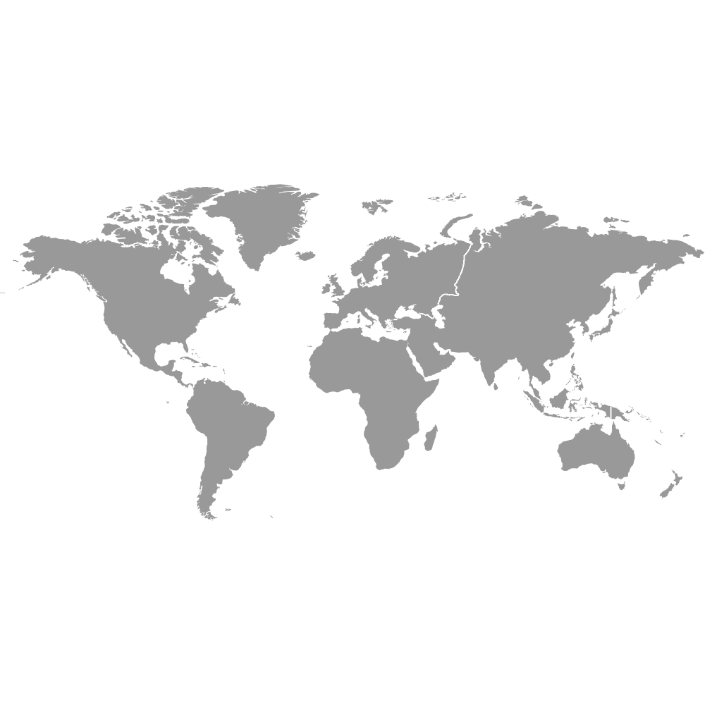
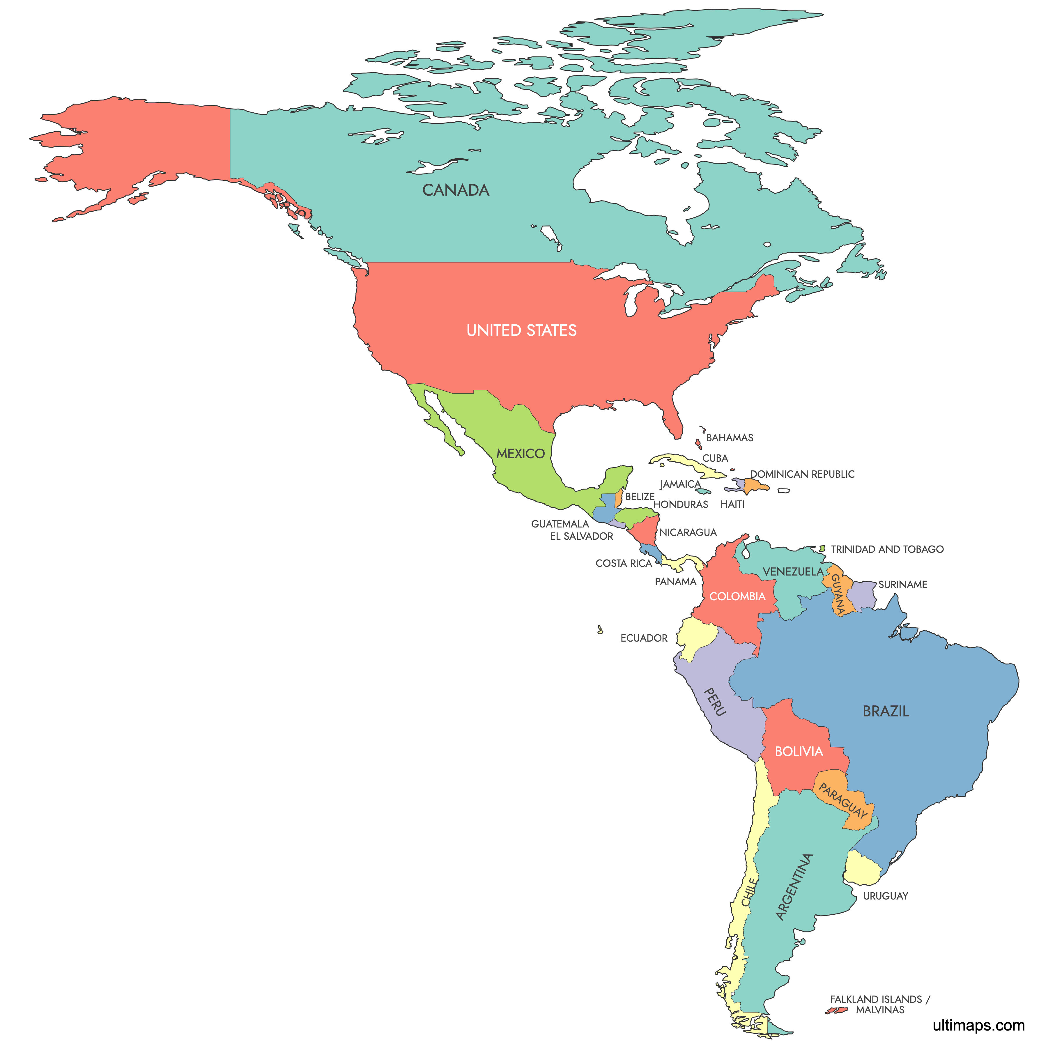
The Americas span 35 sovereign countries across North, Central, and South America plus the Caribbean, covering over 42.5 million km² (16.43 million sq mi) and home to more than 1 billion people. Use the interactive maps below to explore every country in detail. Download free reference maps or learn more about creating a custom map to visualize your data.
Interactive Map of Americas
List of Countries (29)
| # | Country |
|---|---|
| 1 | |
| 2 | |
| 3 | |
| 4 | |
| 5 | |
| 6 | |
| 7 | |
| 8 | |
| 9 | |
| 10 | |
| 11 | |
| 12 | |
| 13 | |
| 14 | |
| 15 | |
| 16 | |
| 17 | |
| 18 | |
| 19 | |
| 20 | |
| 21 | |
| 22 | |
| 23 | |
| 24 | |
| 25 | |
| 26 | |
| 27 | |
| 28 | |
| 29 |
About the Americas
- Total countries: 35 sovereign states (plus 23 dependent territories)
- Total area: Over 42.5 million km² (16.43 million sq mi)
- Total population: More than 1.014 billion people
- Largest country by area: Canada, 9,984,670 km² (3,855,100 sq mi)
- Smallest country by area: Saint Kitts and Nevis, 261 km² (101 sq mi)
- Most populous country: United States, approximately 349,035,494 (2024 estimate), capital Washington, D.C.
- Least populous country: Saint Kitts and Nevis, approximately 56,000 (2019 estimate), capital Basseterre
- Major urban centers: Mexico City, São Paulo, New York City, Los Angeles, Buenos Aires, Rio de Janeiro, Bogotá, Lima
- Boundaries: Bordered by the Pacific Ocean to the west, the Atlantic Ocean to the east, the Arctic Ocean to the north, and the Southern Ocean to the south. Key internal waters include the Caribbean Sea and the Gulf of Mexico.
- Nearest landmasses: Russia lies across the Bering Strait from Alaska. Europe and Africa are separated by the Atlantic Ocean.
- Time zones: Spans from approximately UTC−10 (western Alaska) to UTC−2 (Atlantic islands)
- Subregions: North America (Canada, United States, Mexico), Central America (7 countries from Guatemala to Panama), the Caribbean (13 island nations), and South America (12 countries)
Interesting Facts
- About two thirds of the population of the Americas lives in just three countries: the United States, Brazil, and Mexico.
- North and South America are connected by the Isthmus of Panama, a narrow land bridge whose geological uplift within the last few million years reshaped global ocean currents and triggered major species migrations.
- The Americas host eight megacities with metro populations of 10 million or more: Mexico City, São Paulo, New York City, Los Angeles, Buenos Aires, Rio de Janeiro, Bogotá, and Lima.
- Five major European languages dominate the region (Spanish, English, Portuguese, French, and Dutch), but hundreds of indigenous languages are still spoken, including Quechua, Guaraní, Nahuatl, and Inuktitut.
- In many English-speaking countries, North America and South America are taught as two separate continents, while in much of Latin America and parts of Europe they are treated as a single continent called "America."
Free Downloads
You can download free blank Map of Americas and other maps in high resolution PNG, SVG and PDF formats from the blank maps section of the site: Download Blank Map of Americas
Custom Map Features
This map supports labels.
This map is divided into 29 countries.
Updates
Aug 23, 2024:
- Added map of Americas
Frequently Asked Questions
The Americas comprise 35 sovereign countries spread across North America, Central America, South America, and the Caribbean. In addition, there are roughly 23 dependent territories administered by countries such as France, the United Kingdom, the Netherlands, and the United States. Together, these nations and territories cover over 42.5 million km² (16.43 million sq mi).
Canada is the largest country in the Americas, covering 9,984,670 km² (3,855,100 sq mi). Its capital is Ottawa. Canada is also the second-largest country in the world by total area.
Saint Kitts and Nevis is the smallest sovereign state in the Americas, with an area of just 261 km² (101 sq mi). Its capital is Basseterre. It is also the least populous country in the Americas, with around 56,000 residents as of 2019.
The United States is the most populous country in the Americas, with an estimated population of 349,035,494 as of 2024. Its capital is Washington, D.C., while New York City is the largest city by population. About two thirds of the entire population of the Americas lives in just three countries: the United States, Brazil, and Mexico.
Machu Picchu, the 15th-century Inca citadel, is located near Cusco in Peru. Iguazú Falls sits on the border of Brazil and Argentina and is one of the largest waterfall systems in the world. The Galápagos Islands belong to Ecuador and are renowned for their unique wildlife, which helped inspire Charles Darwin's theory of evolution.
The Americas are bordered by the Pacific Ocean to the west, the Atlantic Ocean to the east, the Arctic Ocean to the north, and the Southern Ocean to the south. Key internal bodies of water include the Caribbean Sea, which separates North and South America, and the Gulf of Mexico, bordered by the United States, Mexico, and Cuba. Russia lies across the Bering Strait from Alaska, making it the nearest non-American landmass.
You can use Ultimaps to create custom maps of the Americas. Color-code countries manually or upload your data, place pins, customize the look, and export to PNG, PDF, or SVG. No sign-up required.