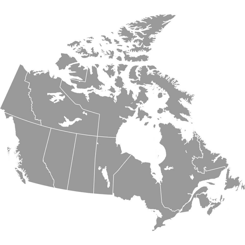
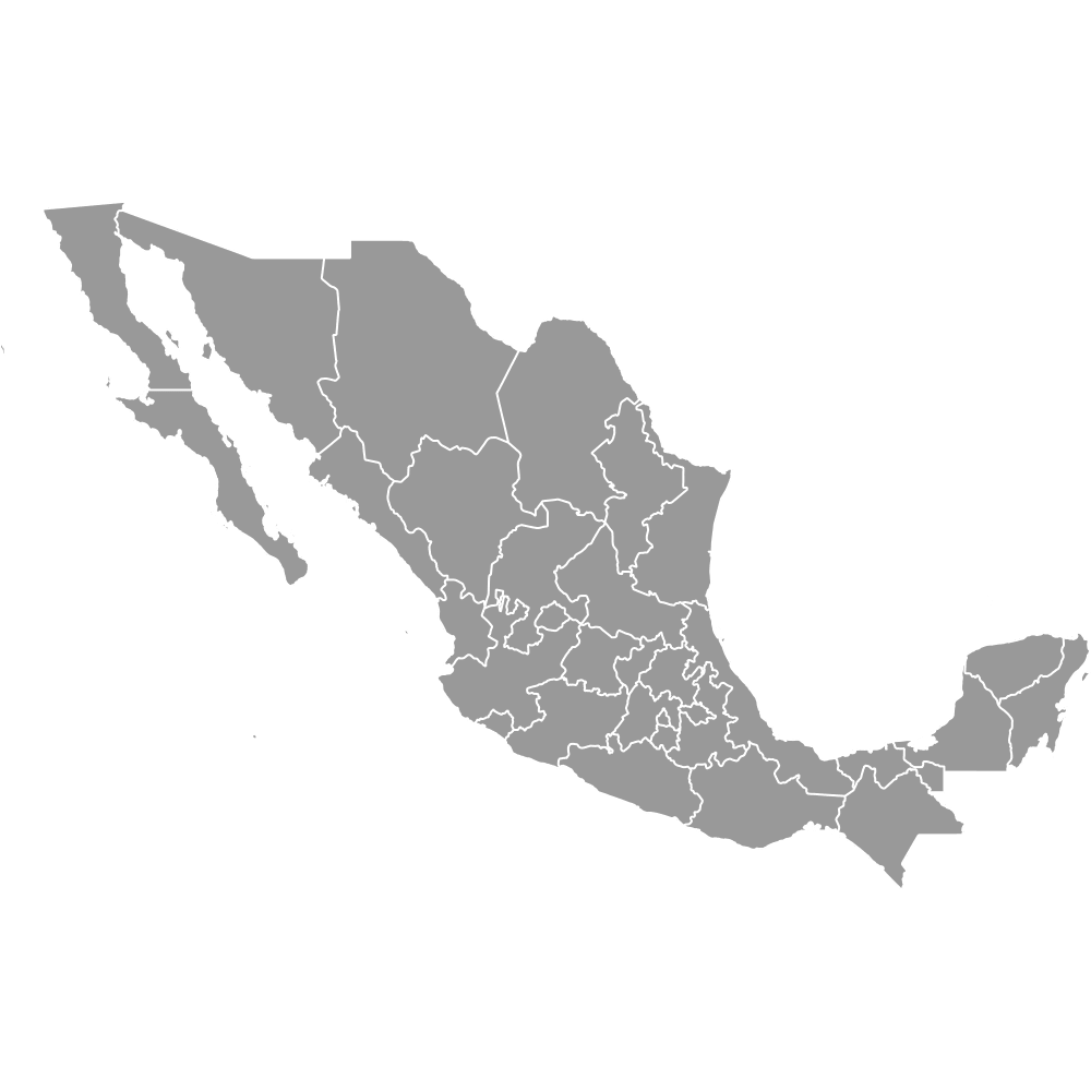
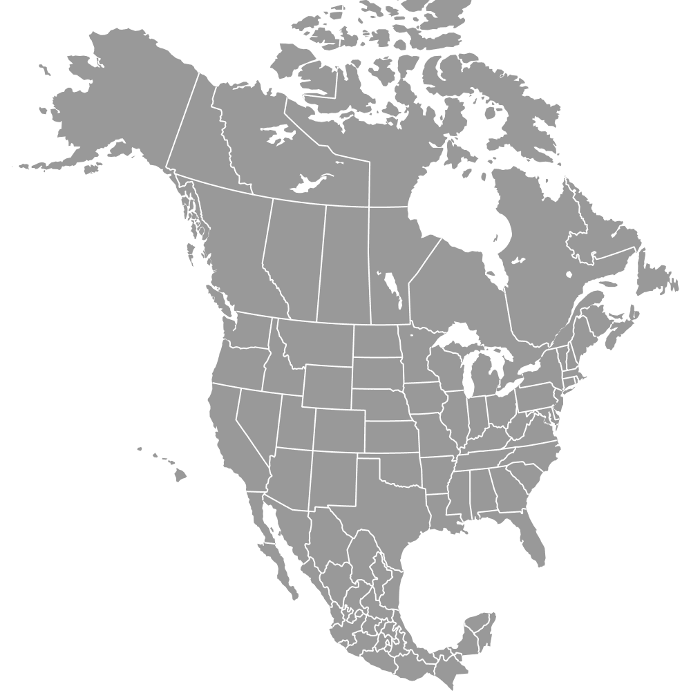
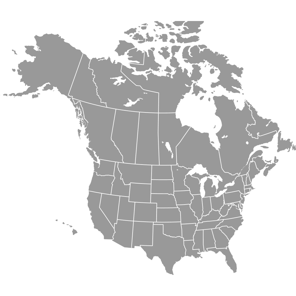
Maps of North American Countries
Browse our maps of the United States, Canada and Mexico — from national outlines down to states, counties and provinces.
Explore maps listed below, or create your own: recolor regions, drop in pins, and turn a spreadsheet of figures into a choropleth or category map. Export a crisp PNG, PDF or SVG for reports, slides, or print.
US Variants


US States By County
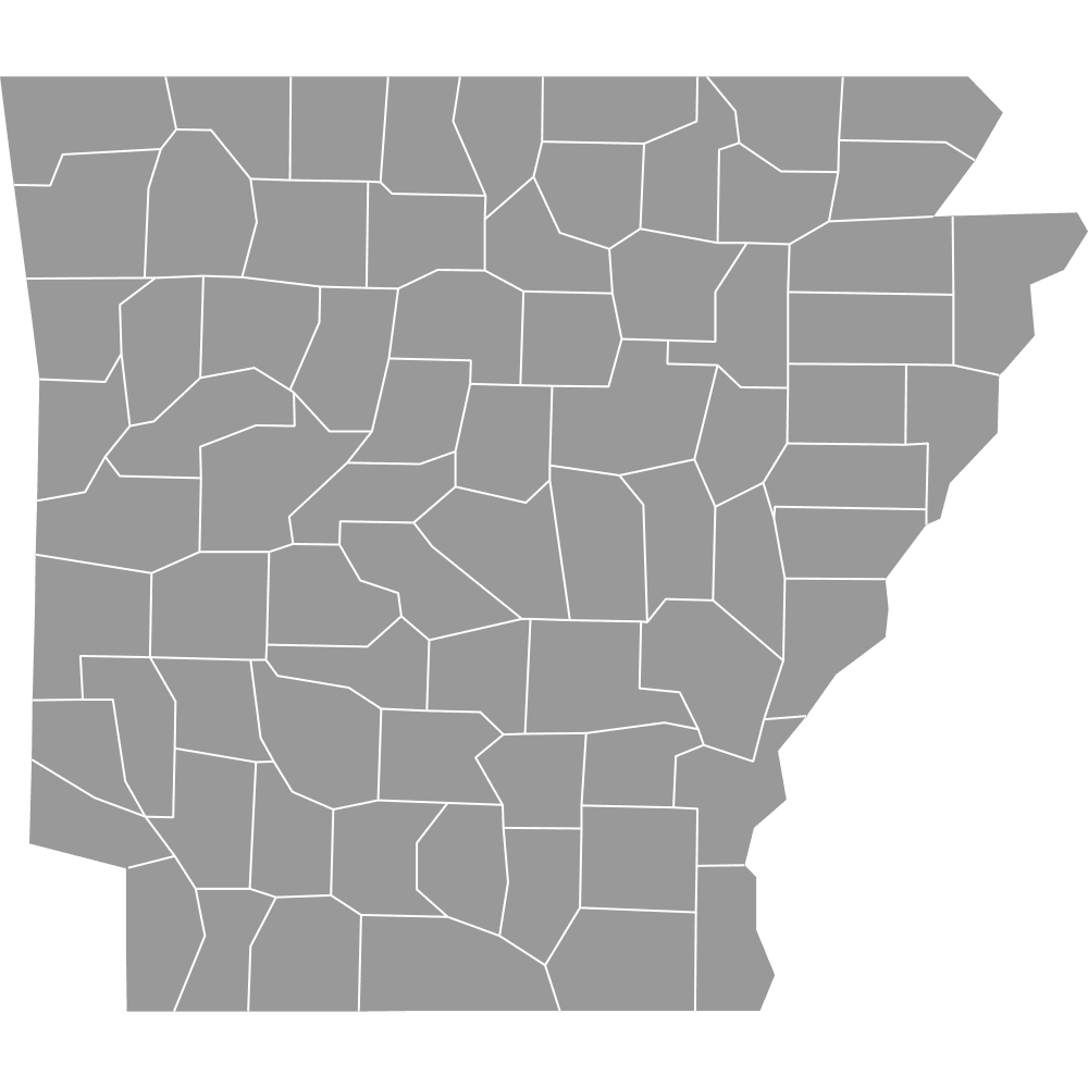 Map of Arkansas Counties
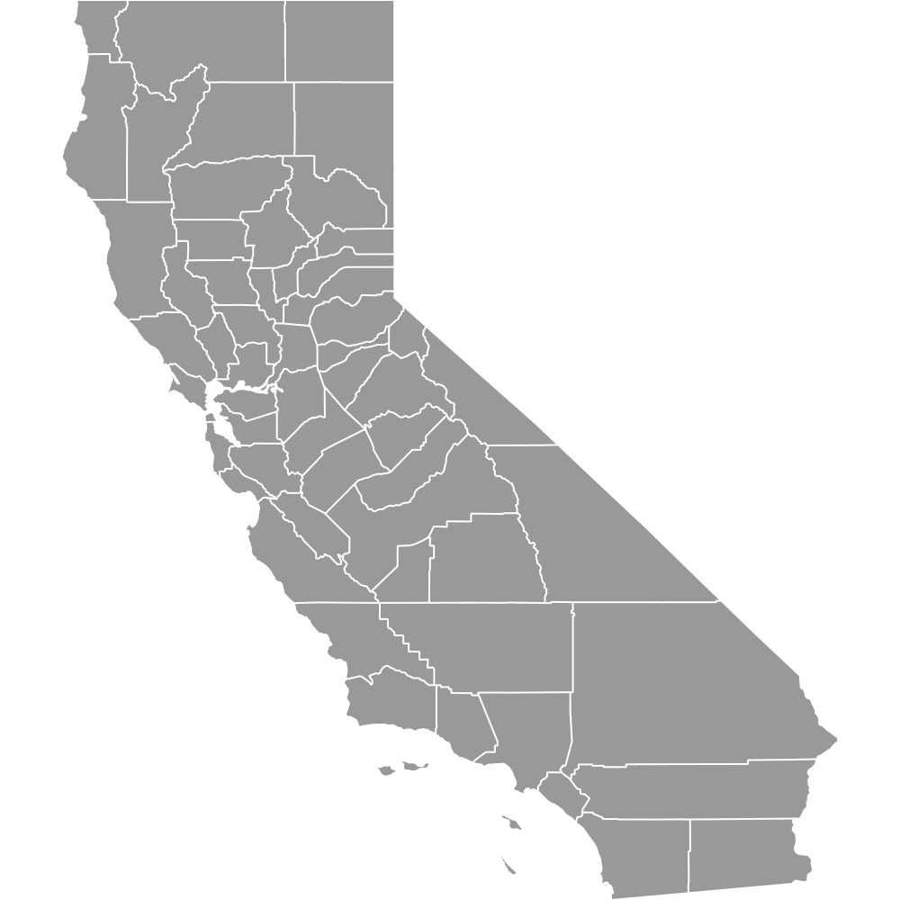 Map of California Counties
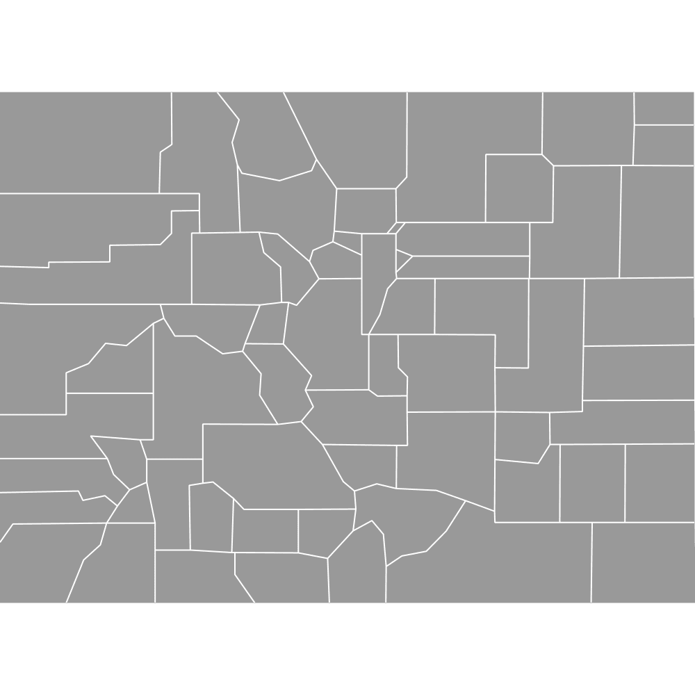 Map of Colorado Counties
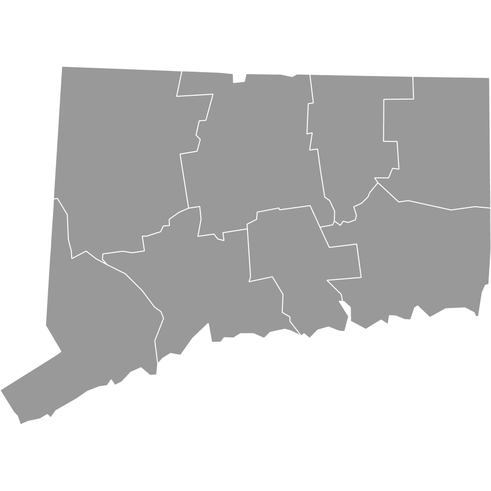 Map of Connecticut Counties
 Map of Delaware Counties
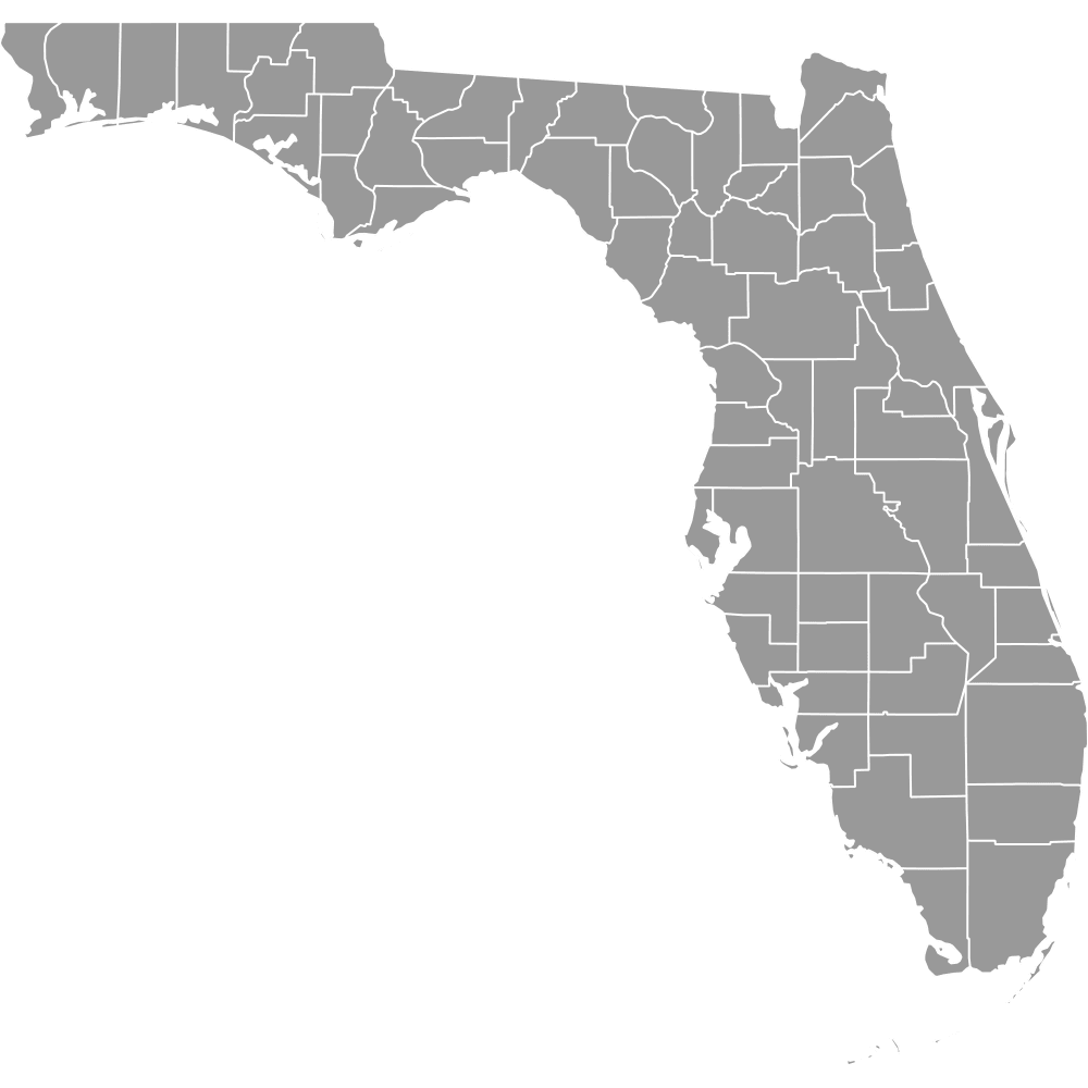 Map of Florida Counties
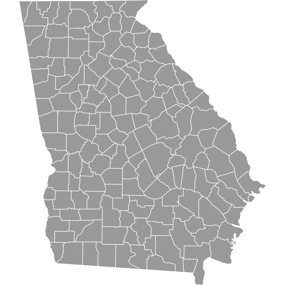 Map of Georgia Counties
 Map of Hawaii Counties
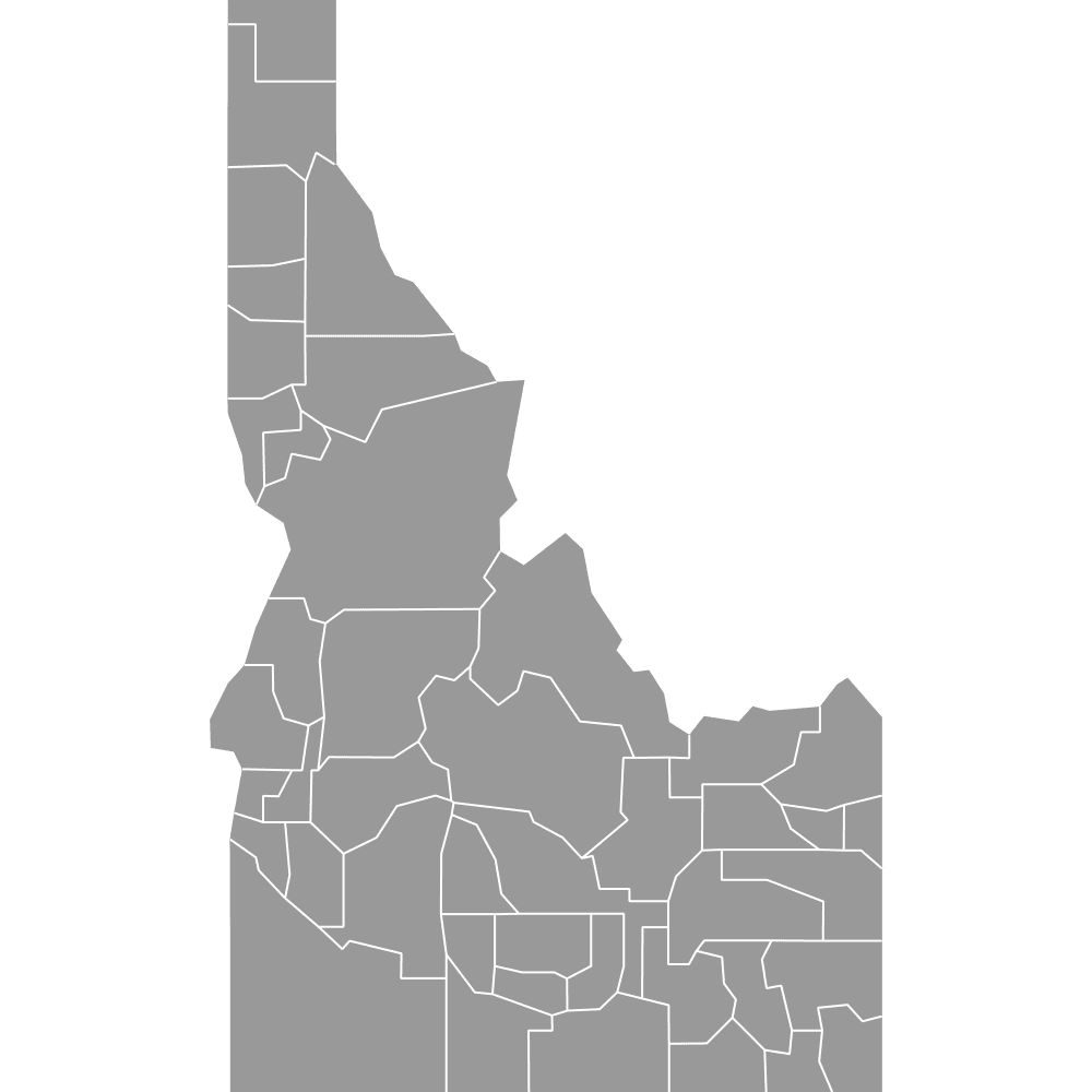 Map of Idaho Counties
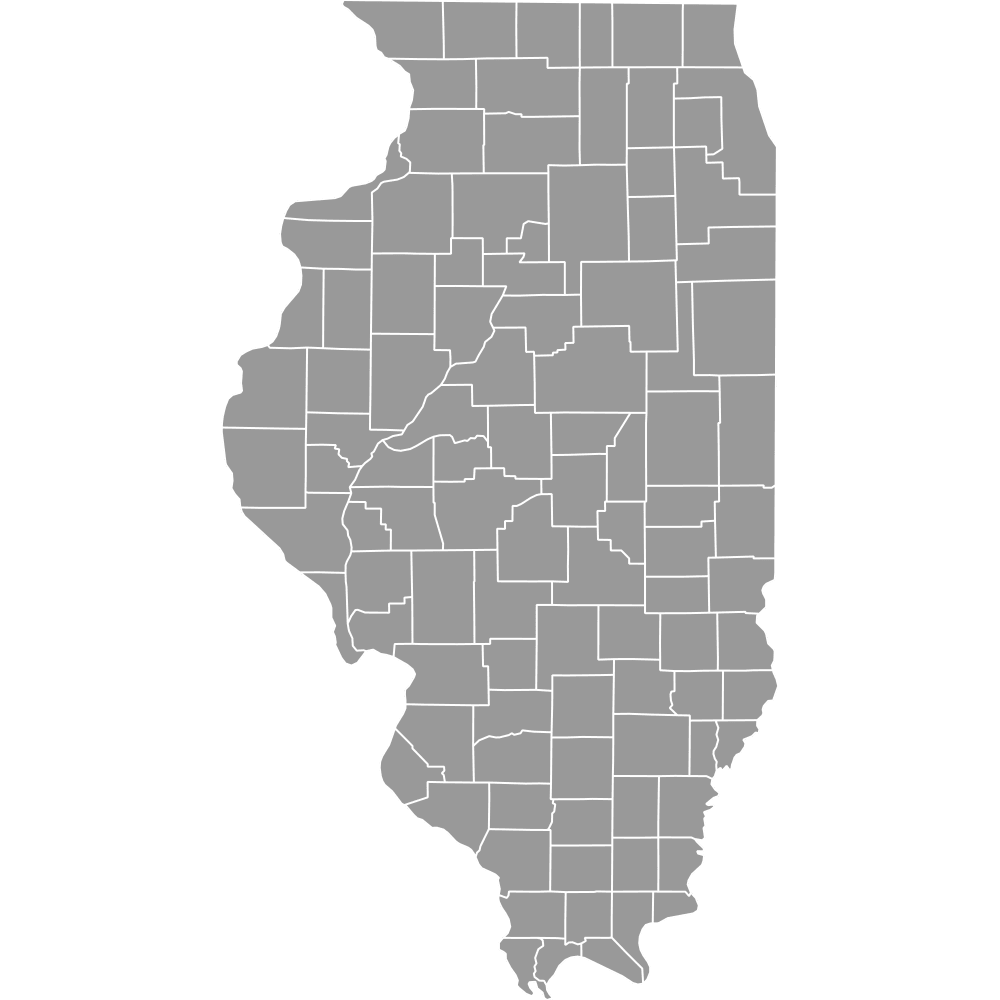 Map of Illinois Counties
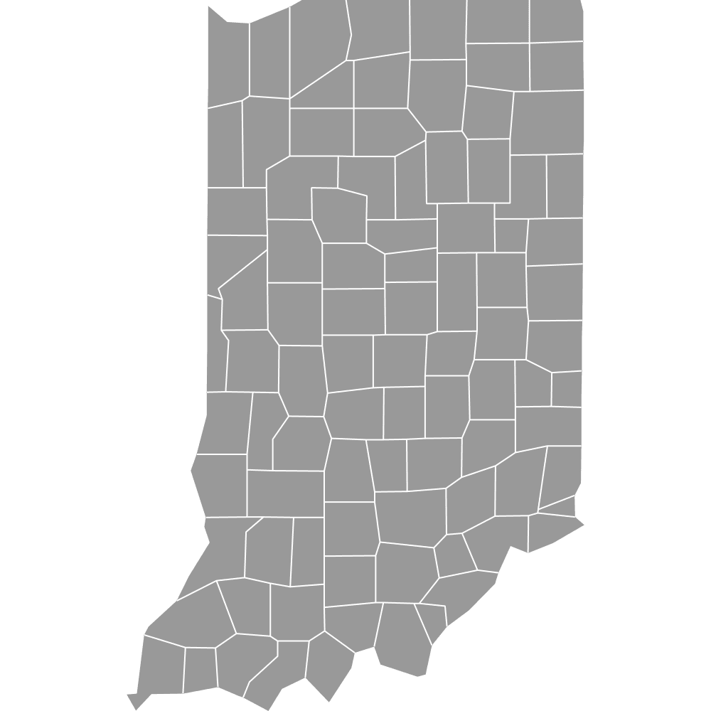 Map of Indiana Counties
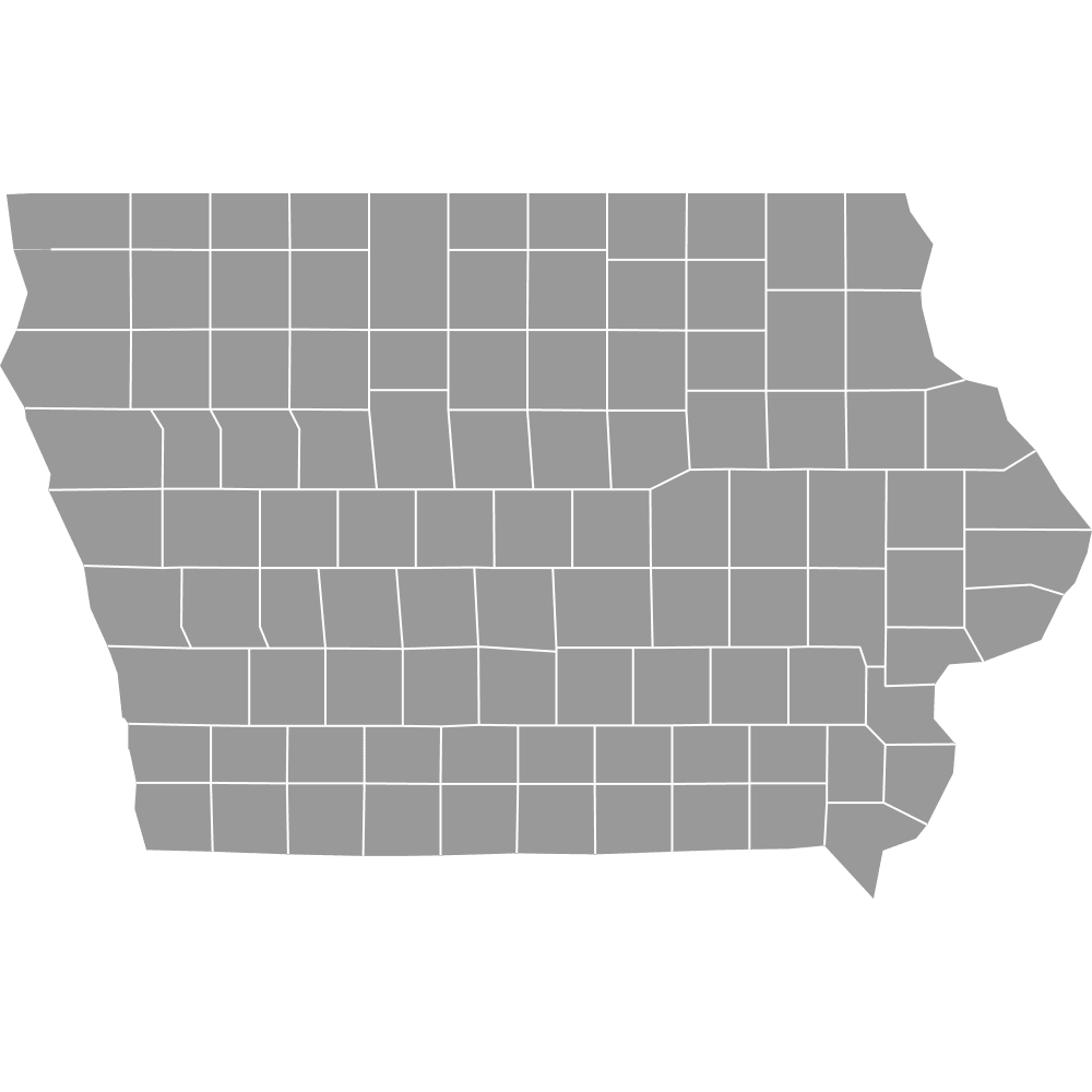 Map of Iowa Counties
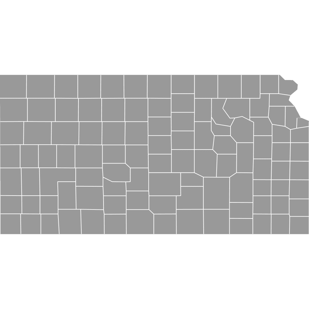 Map of Kansas Counties
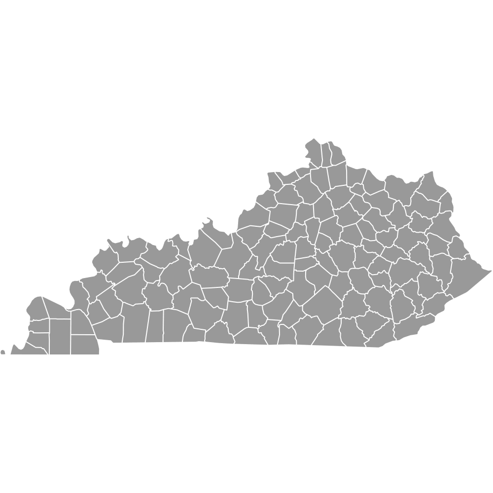 Map of Kentucky Counties
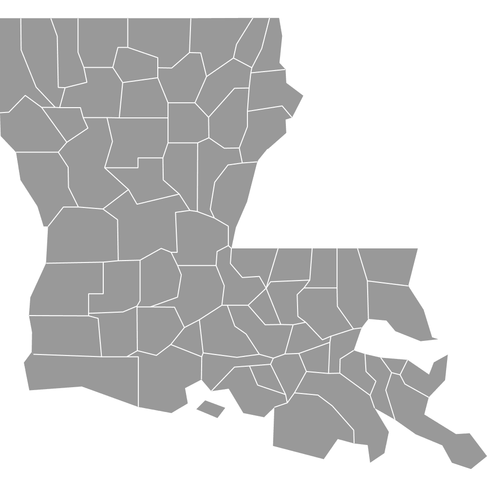 Map of Louisiana Parishes
 Map of Maine Counties
 Map of Maryland Counties
 Map of Massachusetts Counties
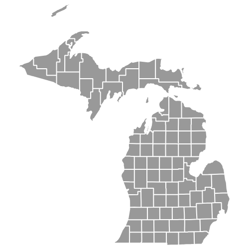 Map of Michigan Counties
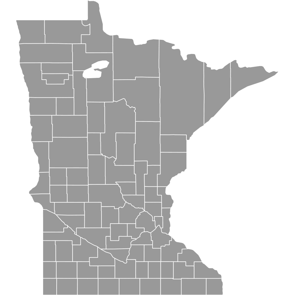 Map of Minnesota Counties
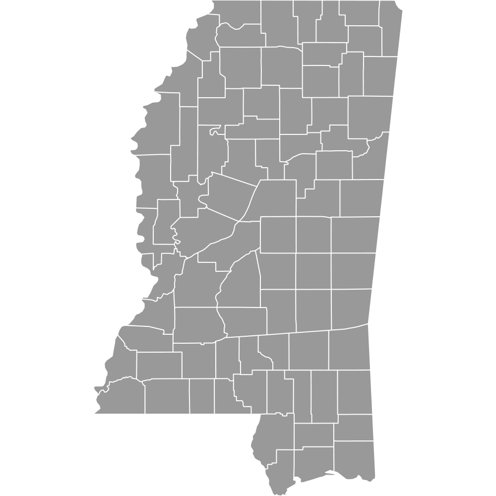 Map of Mississippi Counties
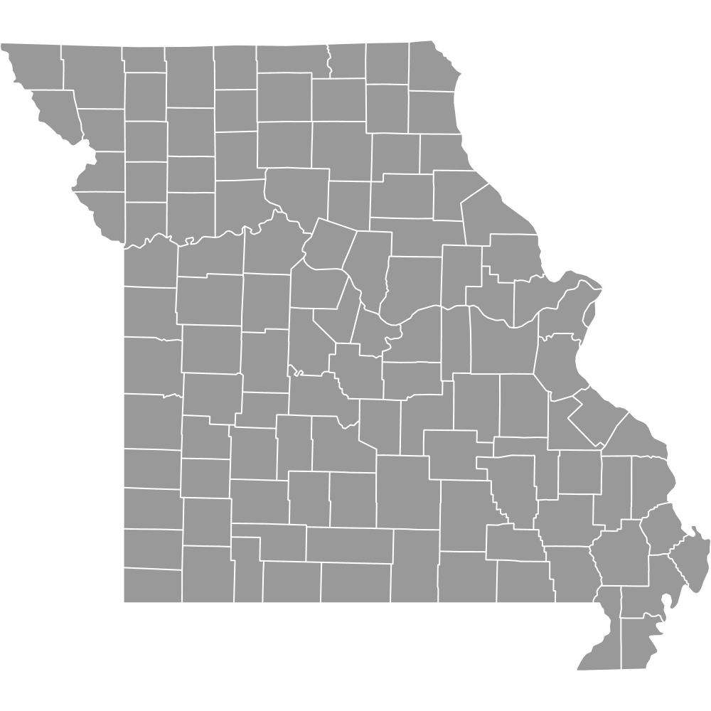 Map of Missouri Counties
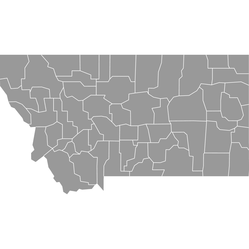 Map of Montana Counties
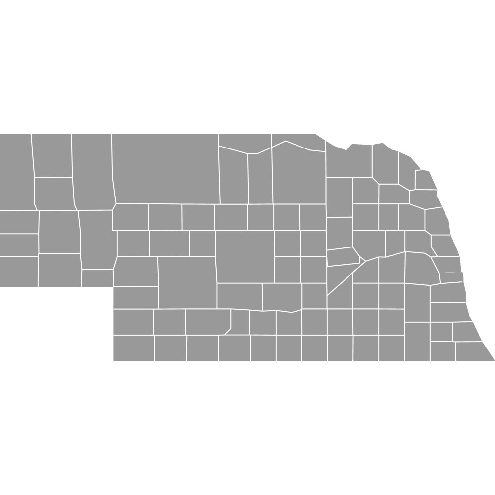 Map of Nebraska Counties
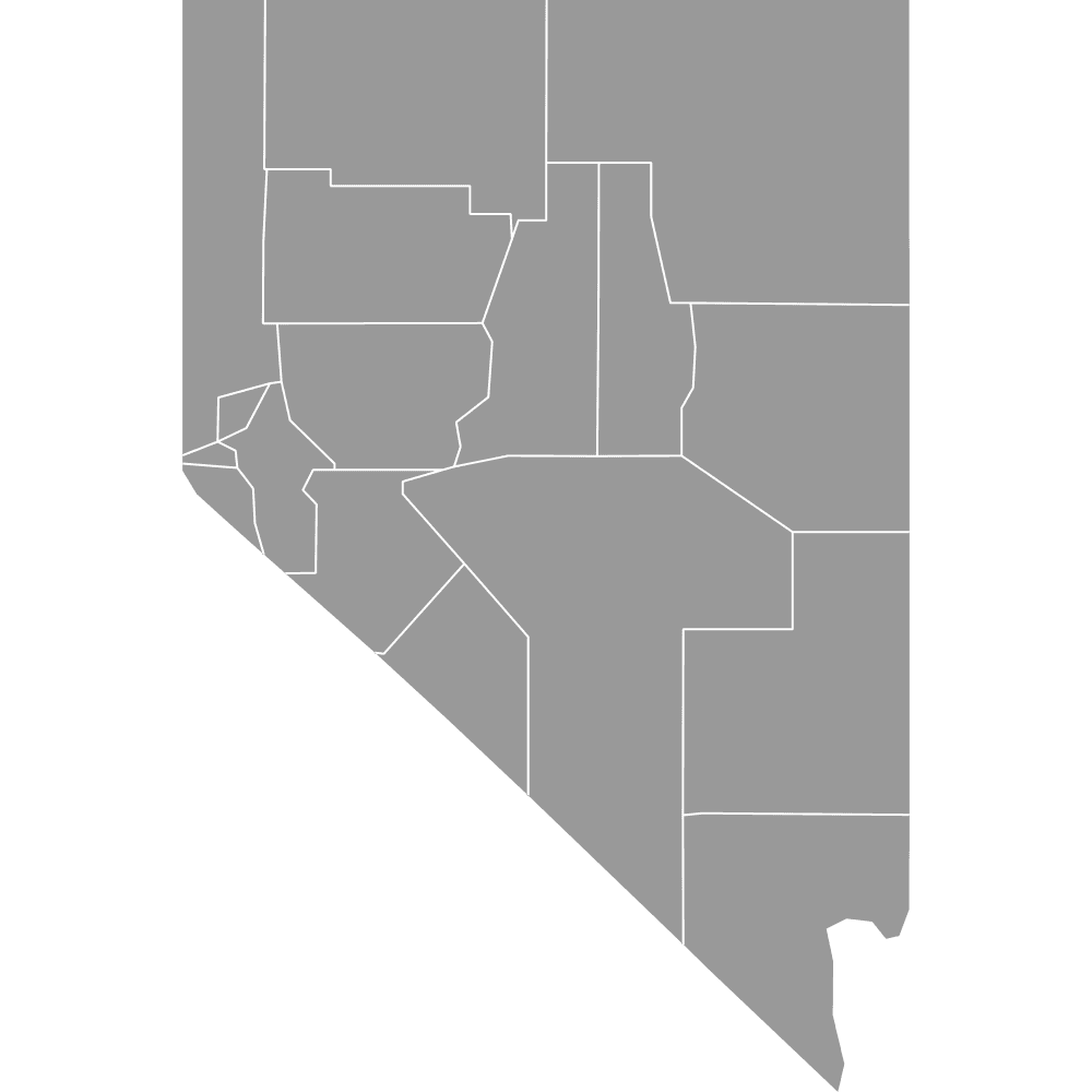 Map of Nevada Counties
 Map of New England States
 Map of New Hampshire Counties
 Map of New Jersey Counties
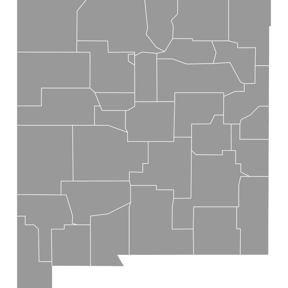 Map of New Mexico Counties
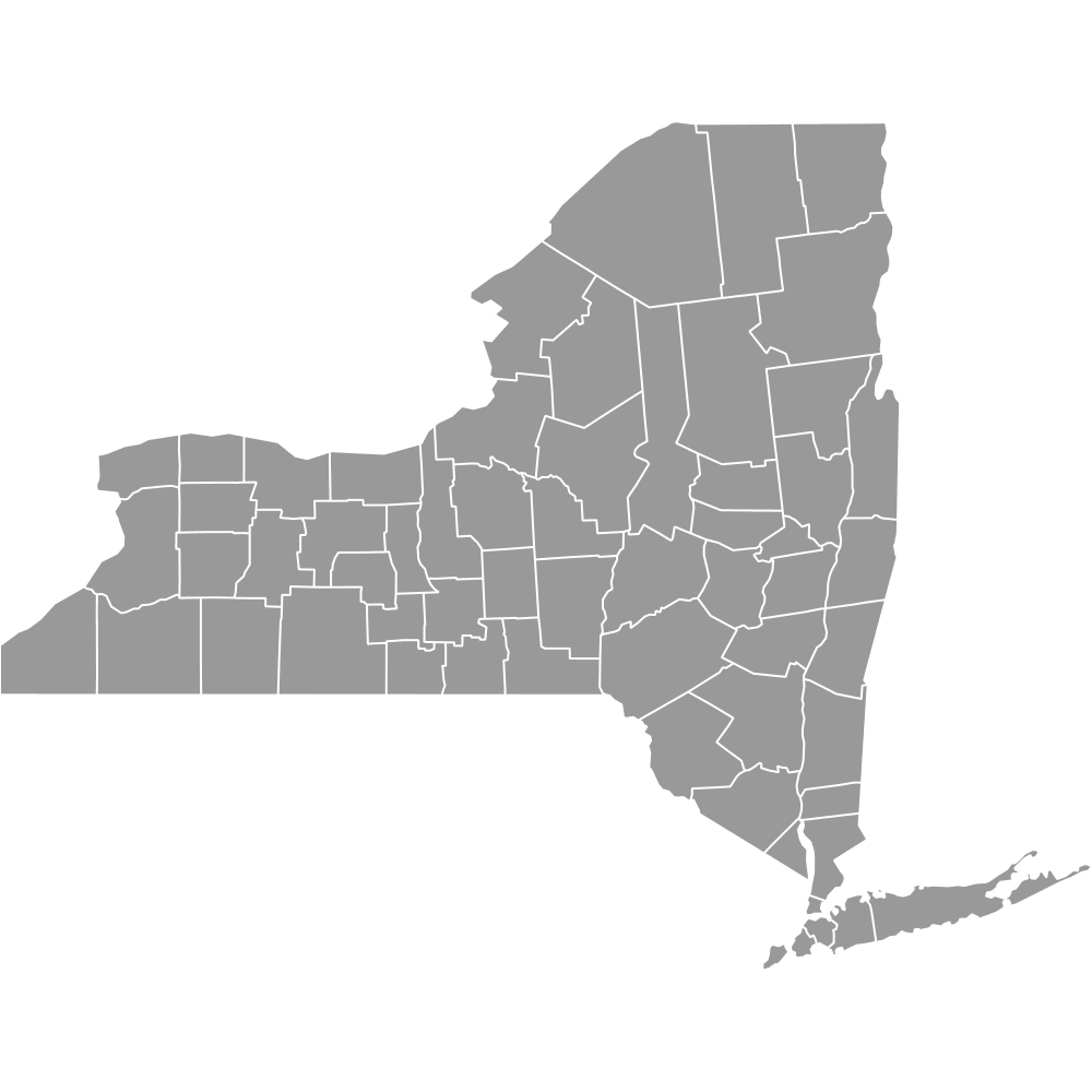 Map of New York Counties
 Map of North Carolina Counties
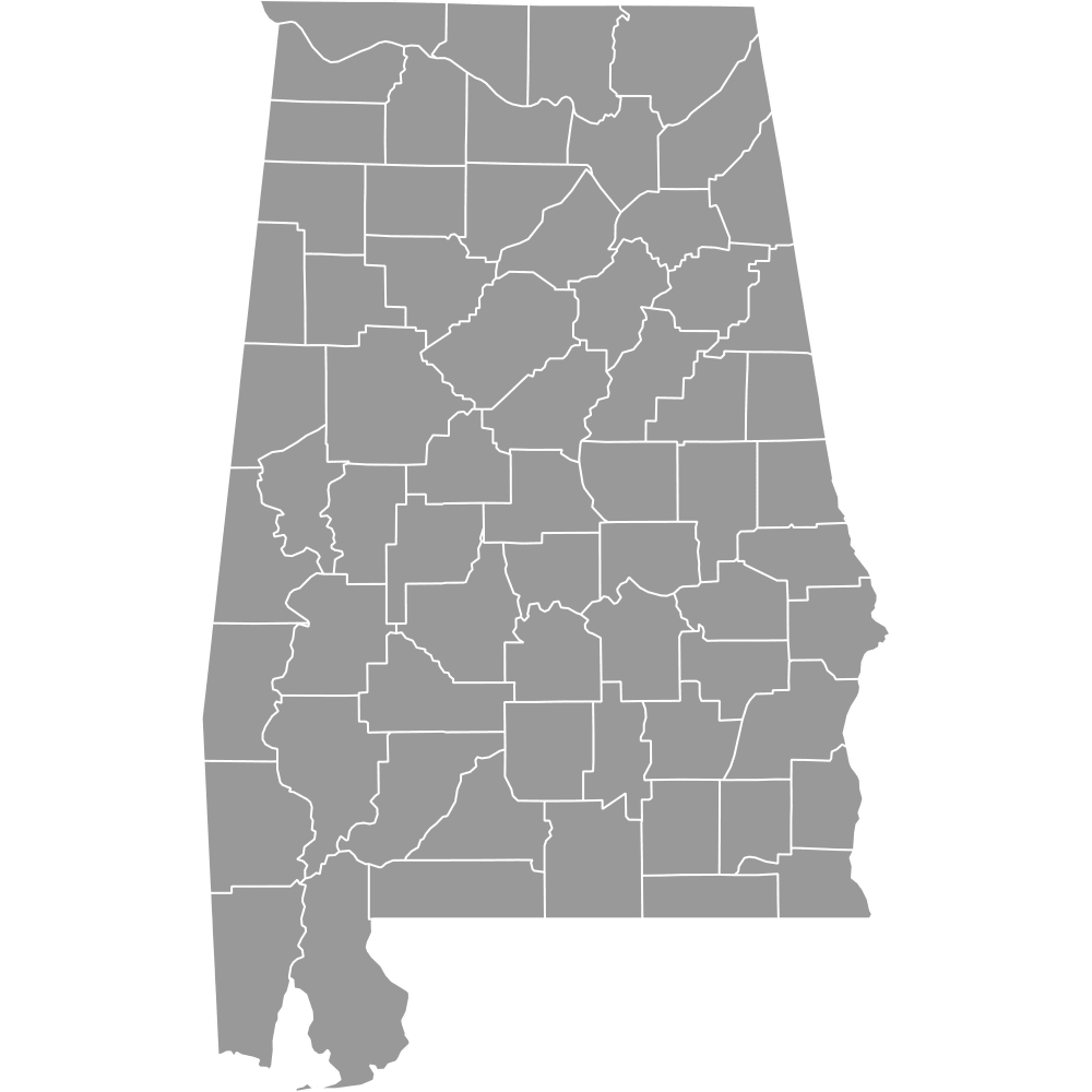 Map of Alabama Counties
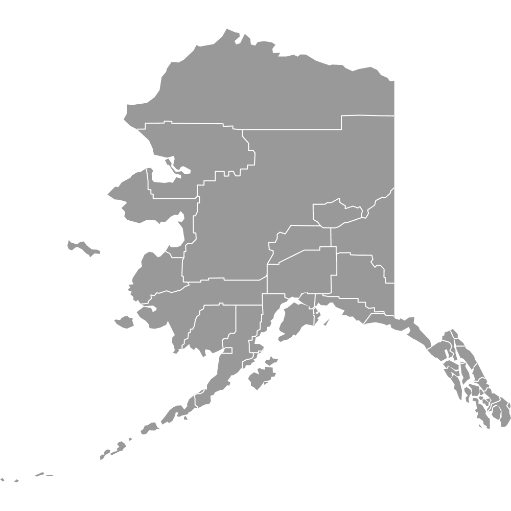 Map of Alaska
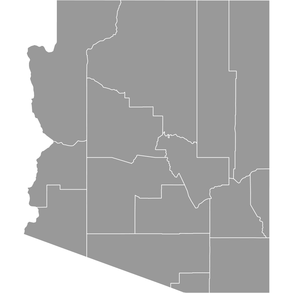 Map of Arizona Counties
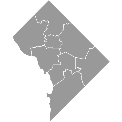 Map of DC Wards
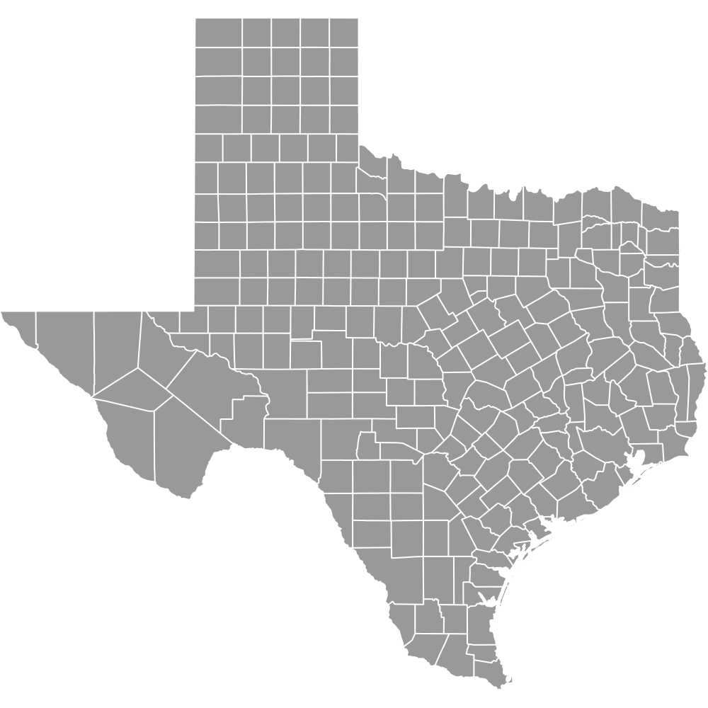 Map of Texas Counties
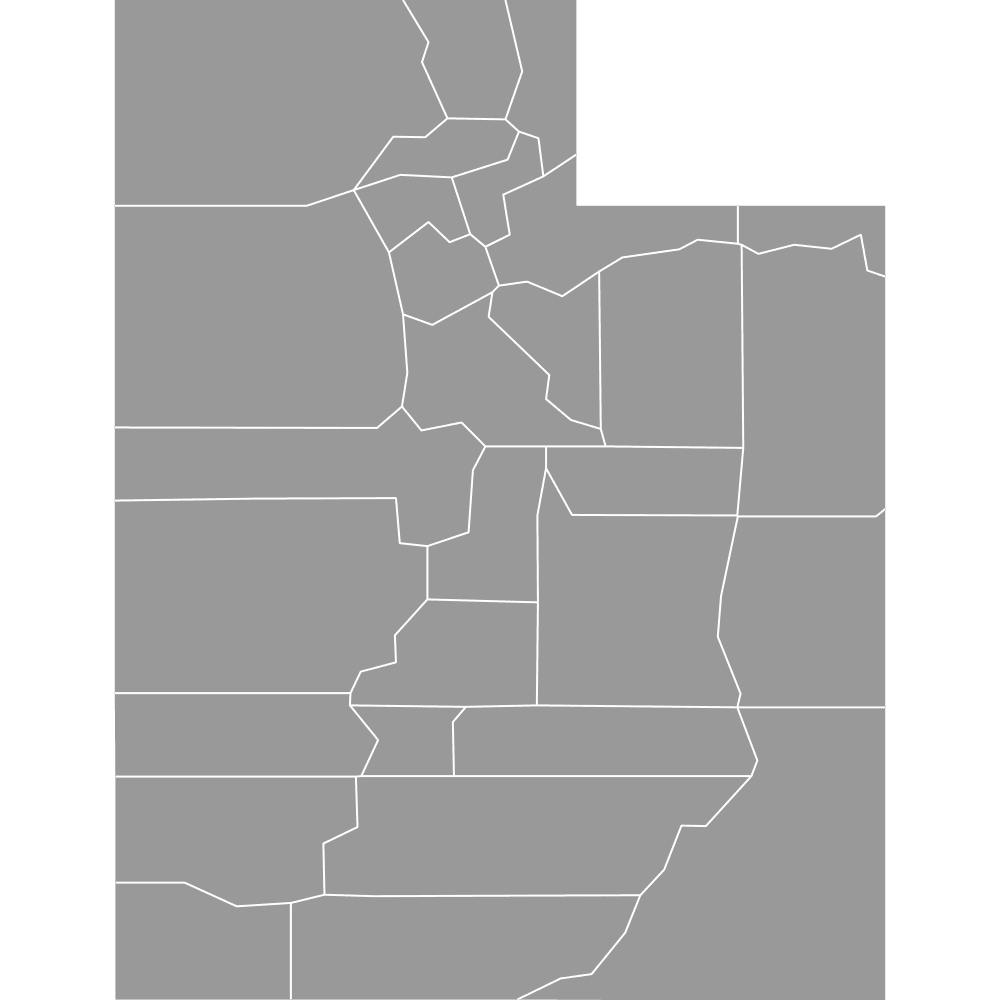 Map of Utah Counties
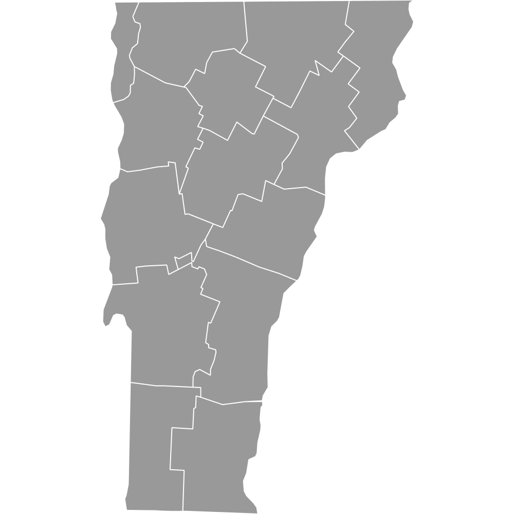 Map of Vermont Counties
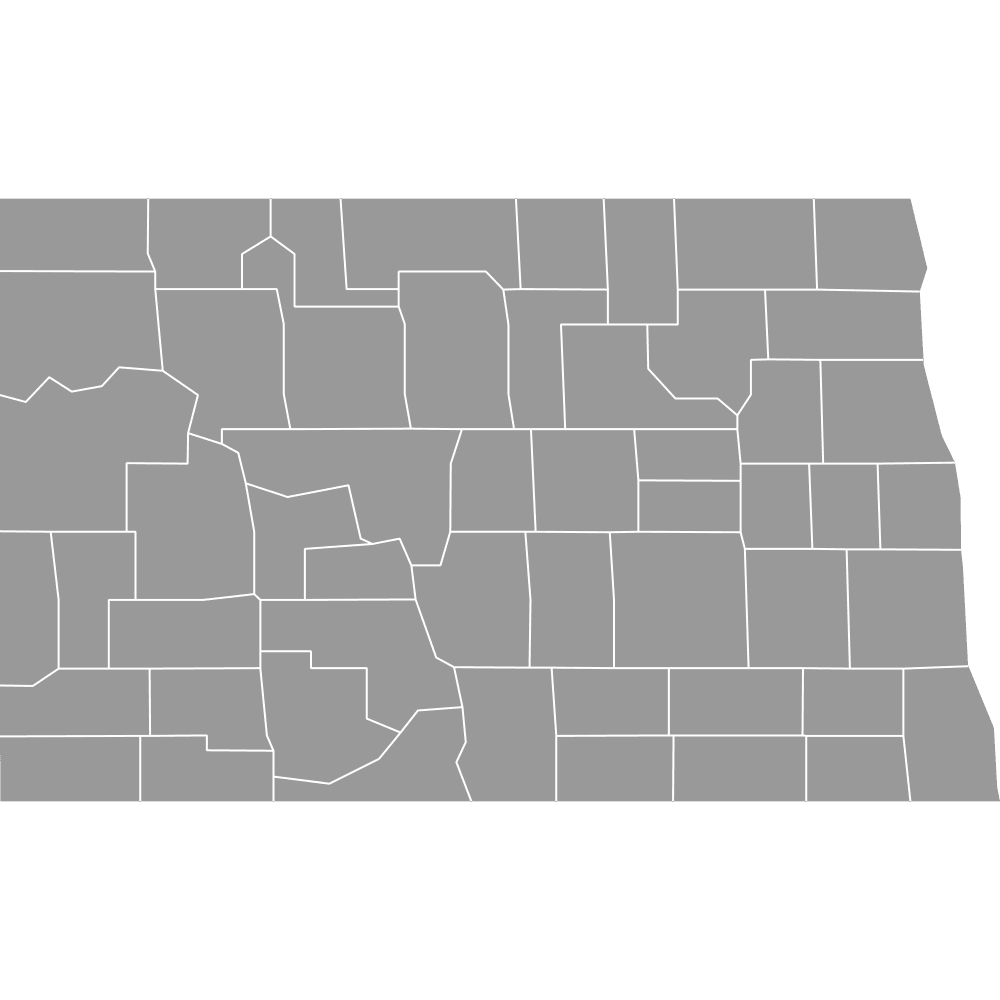 Map of North Dakota Counties
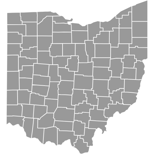 Map of Ohio Counties
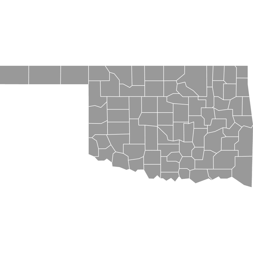 Map of Oklahoma Counties
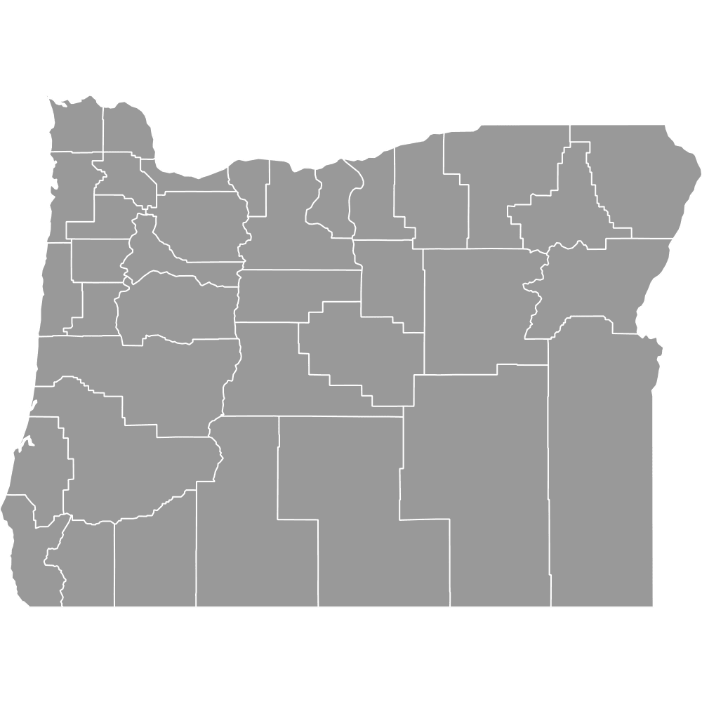 Map of Oregon Counties
 Map of Pennsylvania Counties
 Map of Rhode Island Counties
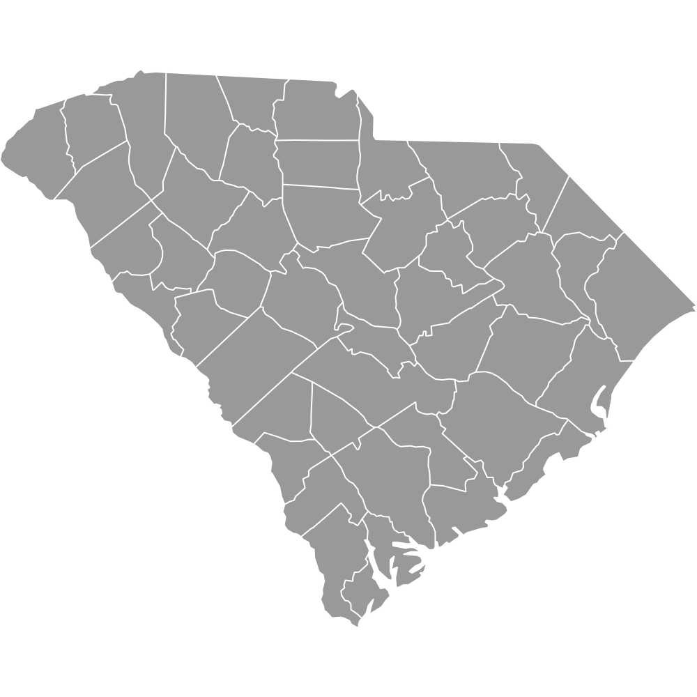 Map of South Carolina Counties
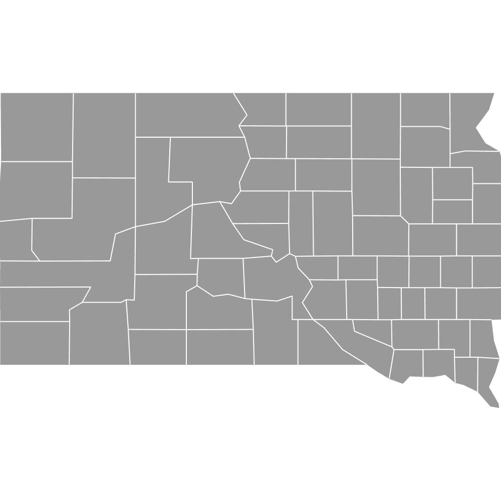 Map of South Dakota Counties
 Map of Tennessee Counties
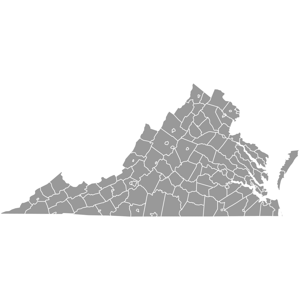 Map of Virginia Counties
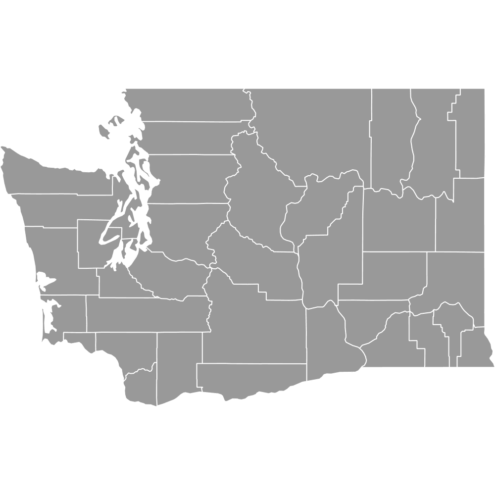 Map of Washington Counties
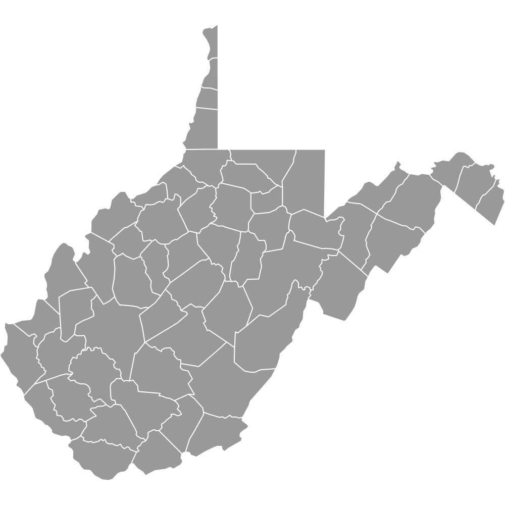 Map of West Virginia Counties
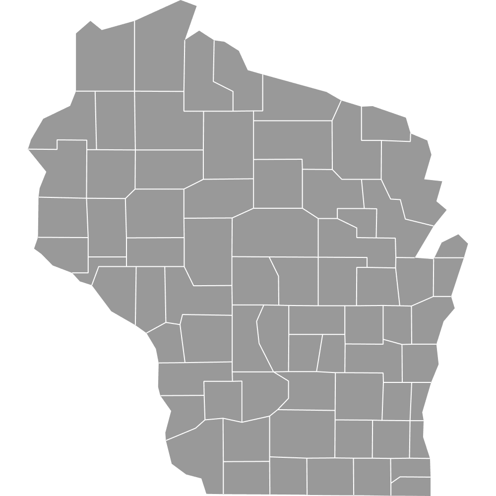 Map of Wisconsin Counties
 Map of Wyoming Counties