Map of Oklahoma Counties
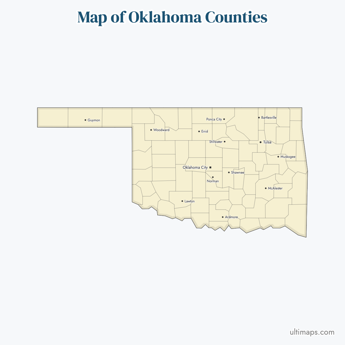
Oklahoma is divided into 77 counties. Use the interactive maps below to explore Oklahoma's counties and their boundaries. Download free maps or learn more about creating a custom map of Oklahoma to visualize your own data.
Interactive Map of Oklahoma Counties
List of Counties (77)
| # | County | County seat | Year founded |
|---|---|---|---|
| 1 | Adair | Stilwell | 1907 |
| 2 | Alfalfa | Cherokee | 1907 |
| 3 | Atoka | Atoka | 1907 |
| 4 | Beaver | Beaver | 1907 |
| 5 | Beckham | Sayre | 1907 |
| 6 | Blaine | Watonga | 1892 |
| 7 | Bryan | Durant | 1907 |
| 8 | Caddo | Anadarko | 1901 |
| 9 | Canadian | El Reno | 1907 |
| 10 | Carter | Ardmore | 1907 |
| 11 | Cherokee | Tahlequah | 1907 |
| 12 | Choctaw | Hugo | 1907 |
| 13 | Cimarron | Boise City | 1907 |
| 14 | Cleveland | Norman | 1890 |
| 15 | Coal | Coalgate | 1907 |
| 16 | Comanche | Lawton | 1901 |
| 17 | Cotton | Walters | 1912 |
| 18 | Craig | Vinita | 1907 |
| 19 | Creek | Sapulpa | 1907 |
| 20 | Custer | Arapaho | 1892 |
| 21 | Delaware | Jay | 1907 |
| 22 | Dewey | Taloga | 1893 |
| 23 | Ellis | Arnett | 1907 |
| 24 | Garfield | Enid | 1893 |
| 25 | Garvin | Pauls Valley | 1907 |
| 26 | Grady | Chickasha | 1907 |
| 27 | Grant | Medford | 1893 |
| 28 | Greer | Mangum | 1896 |
| 29 | Harmon | Hollis | 1909 |
| 30 | Harper | Buffalo | 1907 |
| 31 | Haskell | Stigler | 1907 |
| 32 | Hughes | Holdenville | 1907 |
| 33 | Jackson | Altus | 1907 |
| 34 | Jefferson | Waurika | 1907 |
| 35 | Johnston | Tishomingo | 1907 |
| 36 | Kay | Newkirk | 1893 |
| 37 | Kingfisher | Kingfisher | 1890 |
| 38 | Kiowa | Hobart | 1901 |
| 39 | Latimer | Wilburton | 1907 |
| 40 | Le Flore | Poteau | 1907 |
| 41 | Lincoln | Chandler | 1891 |
| 42 | Logan | Guthrie | 1890 |
| 43 | Love | Marietta | 1907 |
| 44 | Major | Fairview | 1907 |
| 45 | Marshall | Madill | 1907 |
| 46 | Mayes | Pryor | 1907 |
| 47 | McClain | Purcell | 1907 |
| 48 | McCurtain | Idabel | 1907 |
| 49 | McIntosh | Eufaula | 1907 |
| 50 | Murray | Sulphur | 1907 |
| 51 | Muskogee | Muskogee | 1907 |
| 52 | Noble | Perry | 1893 |
| 53 | Nowata | Nowata | 1907 |
| 54 | Okfuskee | Okemah | 1907 |
| 55 | Oklahoma | Oklahoma City | 1890 |
| 56 | Okmulgee | Okmulgee | 1907 |
| 57 | Osage | Pawhuska | 1907 |
| 58 | Ottawa | Miami | 1907 |
| 59 | Pawnee | Pawnee | 1893 |
| 60 | Payne | Stillwater | 1890 |
| 61 | Pittsburg | McAlester | 1907 |
| 62 | Pontotoc | Ada | 1907 |
| 63 | Pottawatomie | Shawnee | 1891 |
| 64 | Pushmataha | Antlers | 1907 |
| 65 | Roger Mills | Cheyenne | 1892 |
| 66 | Rogers | Claremore | 1907 |
| 67 | Seminole | Wewoka | 1907 |
| 68 | Sequoyah | Sallisaw | 1907 |
| 69 | Stephens | Duncan | 1907 |
| 70 | Texas | Guymon | 1907 |
| 71 | Tillman | Frederick | 1907 |
| 72 | Tulsa | Tulsa | 1907 |
| 73 | Wagoner | Wagoner | 1907 |
| 74 | Washington | Bartlesville | 1907 |
| 75 | Washita | New Cordell | 1892 |
| 76 | Woods | Alva | 1893 |
| 77 | Woodward | Woodward | 1893 |
Oklahoma Counties: Key Facts
- Total number of counties: 77 (17th highest among all U.S. states)
- Most populous county: Oklahoma County - 796,292 residents (2020 Census)
- Least populous county: Cimarron County - 2,296 residents (2020 Census)
- Largest county by land area: Osage County - 2,304 square miles (5,969 km²)
- Smallest county by area: Marshall County - 371.6 square miles (963 km²)
- Capital & largest city: Oklahoma City, located in Oklahoma County
- Major urban centers: Tulsa (Tulsa County), Norman (Cleveland County), Lawton (Comanche County)
- Neighboring states: Kansas, Missouri, Arkansas, Texas, New Mexico
- Time zone: Central Time Zone (UTC−6, UTC−5 DST)
- Counties boundaries stable since 1910s
Interesting Facts
- Unique tri-state point: Cimarron County meets New Mexico and Colorado at a single point
- Osage County is larger than entire Rhode Island
Free Downloads
Free for personal and commercial use with a credit to Ultimaps. See the license terms for details.
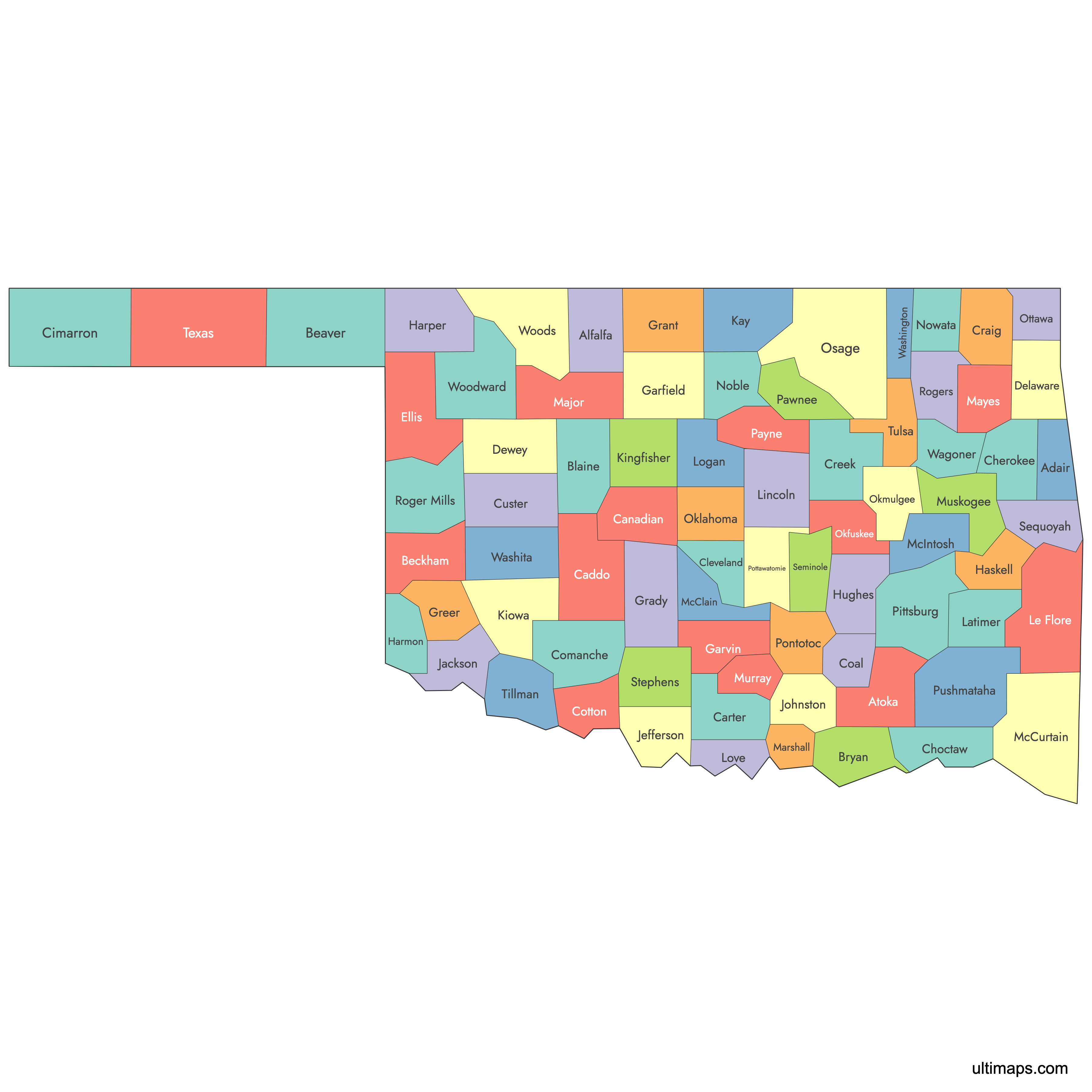
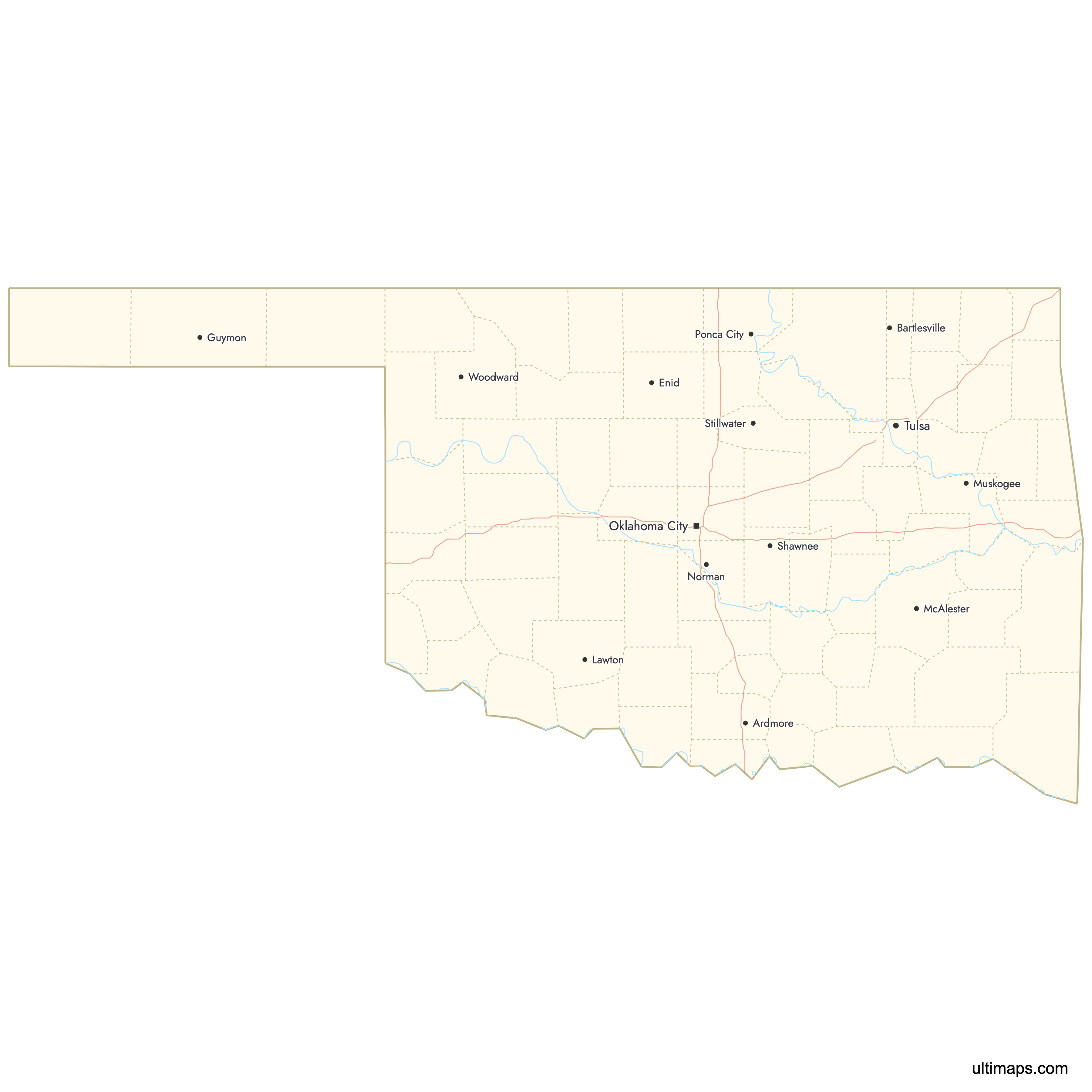
Need it without colors? The blank version of this map comes as a print-ready PDF (A4 and US Letter), a PNG and an editable SVG.
Custom Map Features
This map supports labels.
This map is divided into 77 counties.
Updates
Aug 26, 2024:
- Added map of Oklahoma Counties
Frequently Asked Questions
There are 77 counties in Oklahoma, ranking 17th among U.S. states for the number of counties.
The largest county in Oklahoma by area is Osage County, covering 2,304 square miles (approximately 5,969 square kilometers).
Oklahoma County has the largest population, with 796,292 residents according to the 2020 Census.
The Oklahoma Panhandle consists of Cimarron County, Texas County, and Beaver County.
You can use Ultimaps to create custom maps of Oklahoma. Color-code counties manually or upload data, place pins, customize look and feel and export to PNG, PDF or SVG.