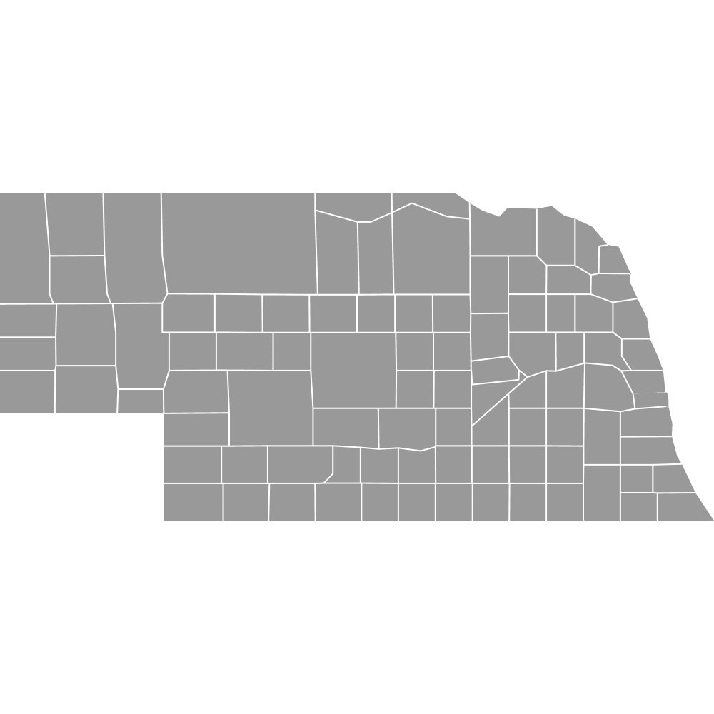
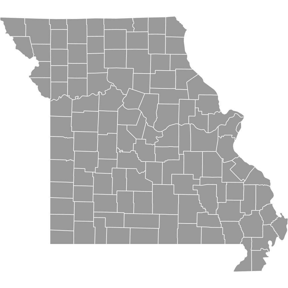
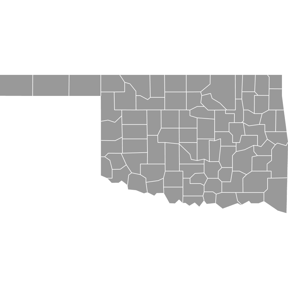
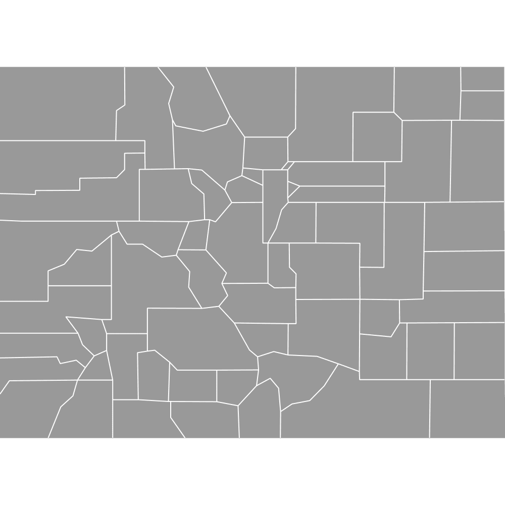
Map of Kansas Counties
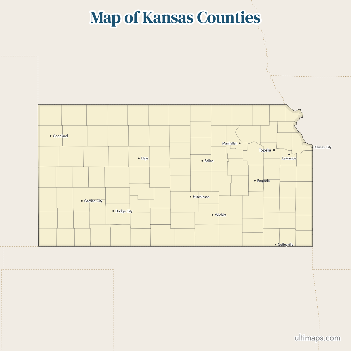
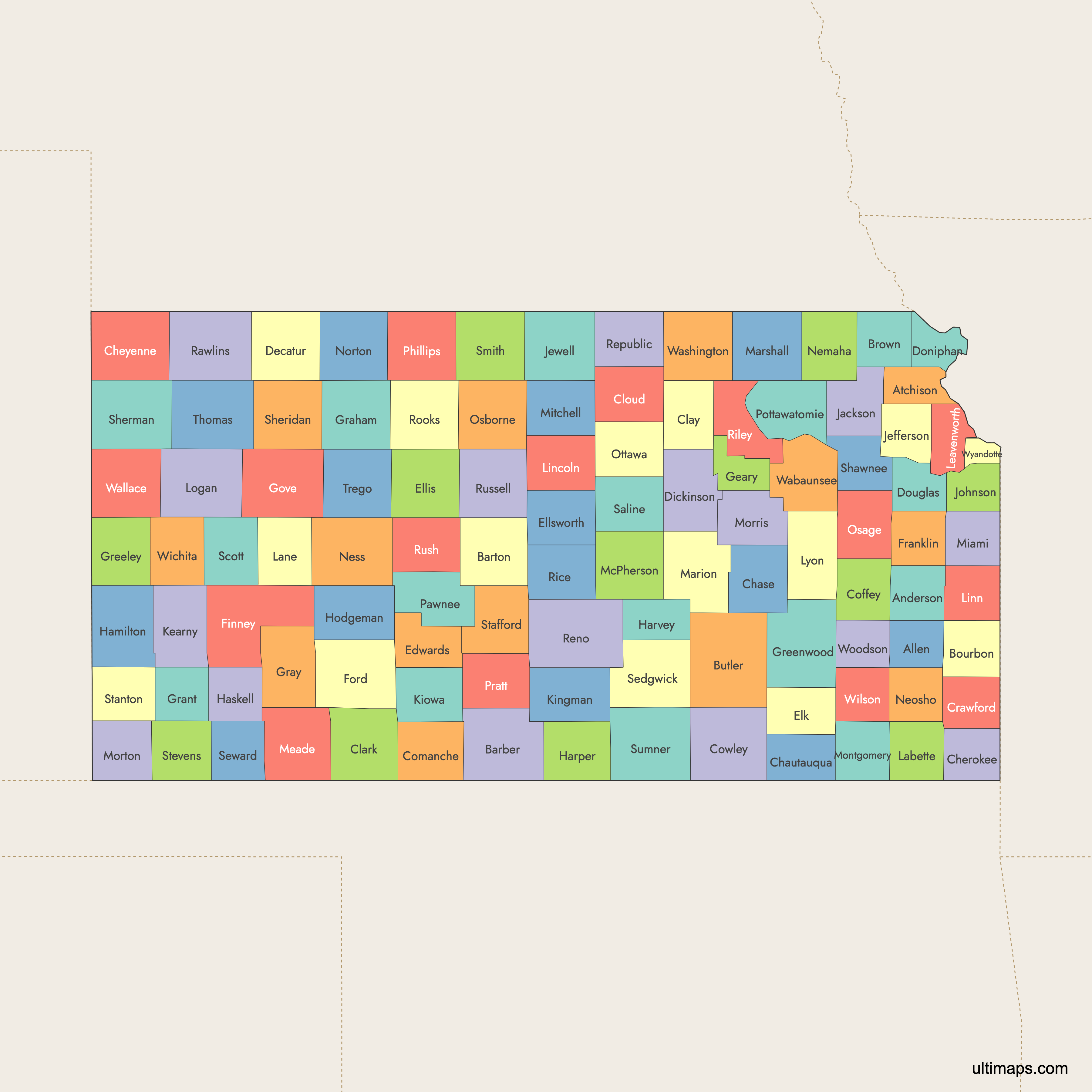
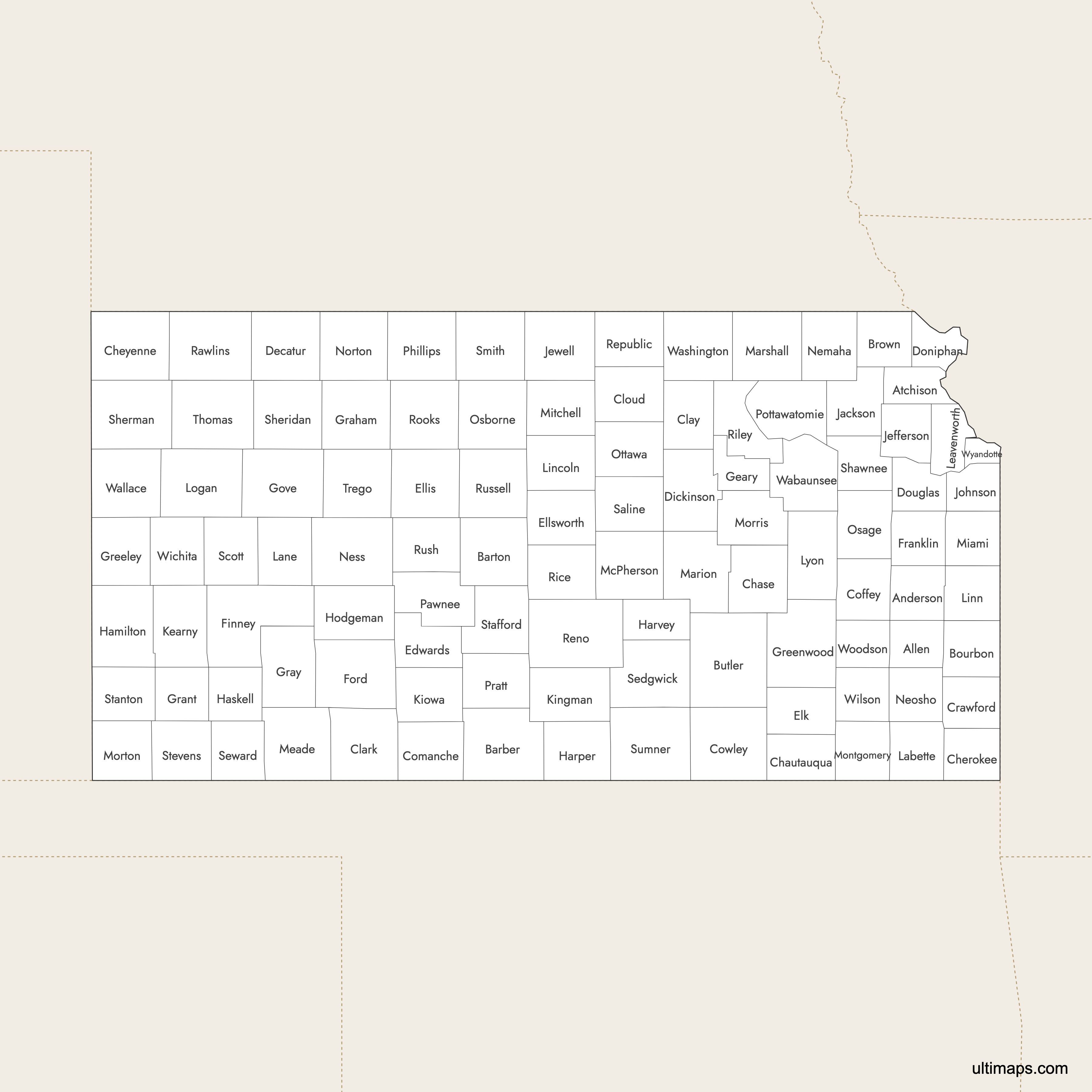
Kansas is divided into 105 counties, each serving as an administrative unit within the state. The counties range from densely populated Johnson County in the Kansas City metro area to rural western counties like Gove. Use the interactive maps below to explore Kansas counties and their boundaries. Download free maps or learn more about creating a custom map of Kansas to visualize your own data.
Interactive Map of Kansas Counties
List of Counties (105)
| # | County | County seat | Year founded |
|---|---|---|---|
| 1 | Allen | Iola | 1855 |
| 2 | Anderson | Garnett | 1855 |
| 3 | Atchison | Atchison | 1855 |
| 4 | Barber | Medicine Lodge | 1867 |
| 5 | Barton | Great Bend | 1867 |
| 6 | Bourbon | Fort Scott | 1855 |
| 7 | Brown | Hiawatha | 1855 |
| 8 | Butler | El Dorado | 1855 |
| 9 | Chase | Cottonwood Falls | 1859 |
| 10 | Chautauqua | Sedan | 1875 |
| 11 | Cherokee | Columbus | 1855 |
| 12 | Cheyenne | Saint Francis | 1873 |
| 13 | Clark | Ashland | 1885 |
| 14 | Clay | Clay Center | 1857 |
| 15 | Cloud | Concordia | 1866 |
| 16 | Coffey | Burlington | 1855 |
| 17 | Comanche | Coldwater | 1867 |
| 18 | Cowley | Winfield | 1867 |
| 19 | Crawford | Girard | 1867 |
| 20 | Decatur | Oberlin | 1873 |
| 21 | Dickinson | Abilene | 1857 |
| 22 | Doniphan | Troy | 1855 |
| 23 | Douglas | Lawrence | 1855 |
| 24 | Edwards | Kinsley | 1874 |
| 25 | Elk | Howard | 1875 |
| 26 | Ellis | Hays | 1867 |
| 27 | Ellsworth | Ellsworth | 1867 |
| 28 | Finney | Garden City | 1883 |
| 29 | Ford | Dodge City | 1867 |
| 30 | Franklin | Ottawa | 1855 |
| 31 | Geary | Junction City | 1855 |
| 32 | Gove | Gove City | 1868 |
| 33 | Graham | Hill City | 1867 |
| 34 | Grant | Ulysses | 1888 |
| 35 | Gray | Cimarron | 1887 |
| 36 | Greeley | Tribune | 1873 |
| 37 | Greenwood | Eureka | 1855 |
| 38 | Hamilton | Syracuse | 1873 |
| 39 | Harper | Anthony | 1867 |
| 40 | Harvey | Newton | 1872 |
| 41 | Haskell | Sublette | 1887 |
| 42 | Hodgeman | Jetmore | 1867 |
| 43 | Jackson | Holton | 1855 |
| 44 | Jefferson | Oskaloosa | 1855 |
| 45 | Jewell | Mankato | 1867 |
| 46 | Johnson | Olathe | 1855 |
| 47 | Kearny | Lakin | 1887 |
| 48 | Kingman | Kingman | 1872 |
| 49 | Kiowa | Greensburg | 1886 |
| 50 | Labette | Oswego | 1867 |
| 51 | Lane | Dighton | 1873 |
| 52 | Leavenworth | Leavenworth | 1855 |
| 53 | Lincoln | Lincoln | 1867 |
| 54 | Linn | Mound City | 1855 |
| 55 | Logan | Oakley | 1888 |
| 56 | Lyon | Emporia | 1855 |
| 57 | Marion | Marion | 1860 |
| 58 | Marshall | Marysville | 1855 |
| 59 | McPherson | McPherson | 1867 |
| 60 | Meade | Meade | 1885 |
| 61 | Miami | Paola | 1855 |
| 62 | Mitchell | Beloit | 1867 |
| 63 | Montgomery | Independence | 1867 |
| 64 | Morris | Council Grove | 1855 |
| 65 | Morton | Elkhart | 1886 |
| 66 | Nemaha | Seneca | 1855 |
| 67 | Neosho | Erie | 1855 |
| 68 | Ness | Ness City | 1867 |
| 69 | Norton | Norton | 1867 |
| 70 | Osage | Lyndon | 1855 |
| 71 | Osborne | Osborne | 1867 |
| 72 | Ottawa | Minneapolis | 1860 |
| 73 | Pawnee | Larned | 1867 |
| 74 | Phillips | Phillipsburg | 1867 |
| 75 | Pottawatomie | Westmoreland | 1857 |
| 76 | Pratt | Pratt | 1867 |
| 77 | Rawlins | Atwood | 1873 |
| 78 | Reno | Hutchinson | 1867 |
| 79 | Republic | Belleville | 1868 |
| 80 | Rice | Lyons | 1867 |
| 81 | Riley | Manhattan | 1855 |
| 82 | Rooks | Stockton | 1867 |
| 83 | Rush | La Crosse | 1867 |
| 84 | Russell | Russell | 1867 |
| 85 | Saline | Salina | 1860 |
| 86 | Scott | Scott City | 1873 |
| 87 | Sedgwick | Wichita | 1867 |
| 88 | Seward | Liberal | 1873 |
| 89 | Shawnee | Topeka | 1855 |
| 90 | Sheridan | Hoxie | 1873 |
| 91 | Sherman | Goodland | 1873 |
| 92 | Smith | Smith Center | 1867 |
| 93 | Stafford | Saint John | 1867 |
| 94 | Stanton | Johnson City | 1887 |
| 95 | Stevens | Hugoton | 1886 |
| 96 | Sumner | Wellington | 1867 |
| 97 | Thomas | Colby | 1873 |
| 98 | Trego | WaKeeney | 1867 |
| 99 | Wabaunsee | Alma | 1855 |
| 100 | Wallace | Sharon Springs | 1868 |
| 101 | Washington | Washington | 1857 |
| 102 | Wichita | Leoti | 1873 |
| 103 | Wilson | Fredonia | 1855 |
| 104 | Woodson | Yates Center | 1855 |
| 105 | Wyandotte | Kansas City | 1859 |
Kansas Counties: Key Facts
- Total number of counties: 105
- Most populous county: Johnson County with 609,863 residents (2020 Census)
- Least populous county: Gove County with 2,579 residents (2020 Census)
- Largest county by area: Butler County at 1,441 square miles (3,730 km²)
- Smallest county by area: Wyandotte County at 152 square miles (394 km²)
- Counties with major urban centers: Sedgwick (Wichita), Johnson (Overland Park, Olathe), Shawnee (Topeka), Douglas (Lawrence), Wyandotte (Kansas City), Riley (Manhattan), Ford (Dodge City)
- State capital: Topeka in Shawnee County
- Bordering states: Nebraska (north), Missouri (east), Oklahoma (south), Colorado (west)
- Time zone: Central Time Zone (UTC-6/-5)
- Boundary history: Current 105 counties established progressively from 1855 onward, with major organization through the 1870s and last significant changes by 1893
Interesting Facts
- Kansas originally defined 33 counties in 1855 territorial laws, measured by distances from the Kansas River at the Missouri border.
- Wyandotte County and Kansas City operate as a unified city-county government, one of only two consolidated governments in the state.
- Many early Kansas county names were changed or consolidated by 1904, including Lykins, Davis, and McGee.
- Monument Rocks in Gove County features striking chalk formations that are among the first National Natural Landmarks designated in the United States.
- Dodge City in Ford County earned the nickname "Queen of the Cowtowns" during the Wild West era.
Free Downloads
Free for personal and commercial use with a credit to Ultimaps. See the license terms for details.
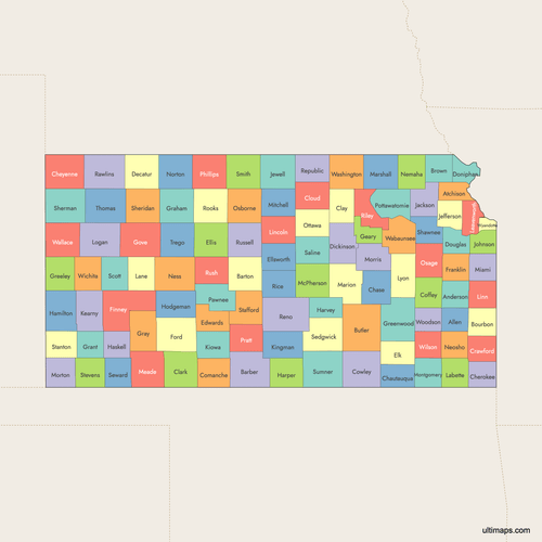 Colored Map of Kansas Counties with Surrounding Areaspng539 KB
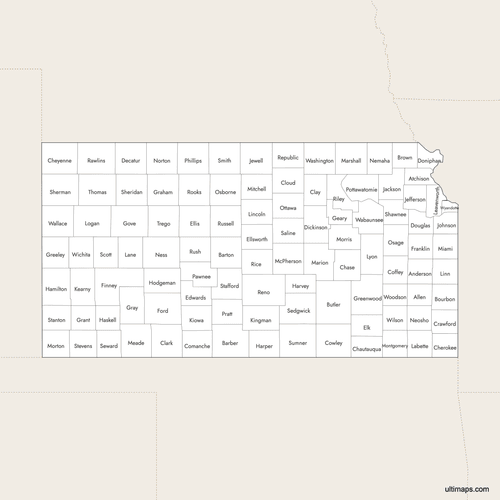 Labeled Map of Kansas Counties with Surrounding Areaspng498 KB
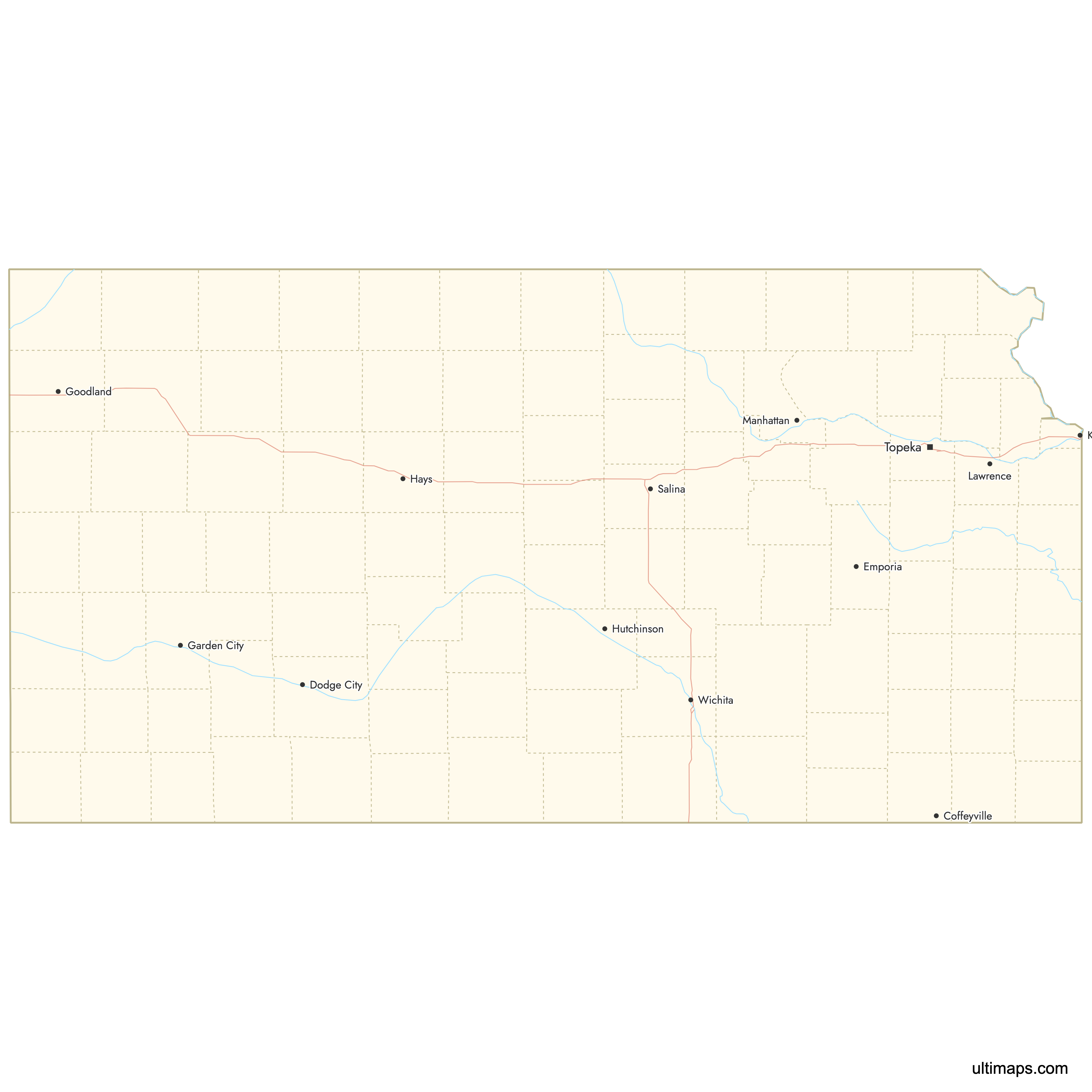
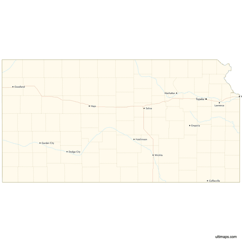 Map of Kansas Counties with Citiespng410 KB
Need it without colors? The blank version of this map comes as a print-ready PDF (A4 and US Letter), a PNG and an editable SVG.
Custom Map Features
This map supports labels.
This map supports surrounding areas, roads, rivers and cities. New
This map is divided into 105 counties.
Updates
Aug 26, 2024:
- Added map of Kansas Counties
Frequently Asked Questions
Kansas has 105 counties. The current county boundaries were established progressively starting in 1855 when Kansas was still a territory, with major organization occurring through the 1870s. The last significant boundary changes occurred by 1893.
Butler County is the largest county in Kansas by area at 1,441 square miles (3,730 km²). Located in south-central Kansas, Butler County is part of the Wichita metropolitan area.
Wyandotte County is the smallest county in Kansas at 152 square miles (394 km²). Despite its small size, it contains Kansas City, Kansas and operates as a unified city-county government.
Johnson County is the most populous county in Kansas with 609,863 residents according to the 2020 Census. Located in the Kansas City metropolitan area, it includes the cities of Overland Park and Olathe. The least populous county is Gove County with just 2,579 residents.
Wichita, the largest city in Kansas, is located in Sedgwick County. Wichita serves as a major aviation hub and is home to several aircraft manufacturers. Sedgwick County is in south-central Kansas.
Topeka, the state capital of Kansas, is located in Shawnee County. Topeka is historically significant as the site of the Brown v. Board of Education case. Shawnee County is in northeastern Kansas.
Dodge City is located in Ford County in southwestern Kansas. Known as the "Queen of the Cowtowns" during the Wild West era, Dodge City is home to the Boot Hill Museum which preserves this frontier history.
Douglas County contains Lawrence, home to the University of Kansas. Riley County contains Manhattan, where Kansas State University is located. Both counties are in the northeastern part of the state.
The Flint Hills tallgrass prairie region spans multiple Kansas counties including Chase and Morris counties. Chase County is home to the Tallgrass Prairie National Preserve, one of the last remaining expanses of tallgrass prairie in North America.
You can use Ultimaps to create custom maps of Kansas. Color-code counties manually or upload your data, place pins, customize the look and feel, and export to PNG, PDF, or SVG. No sign-up required.