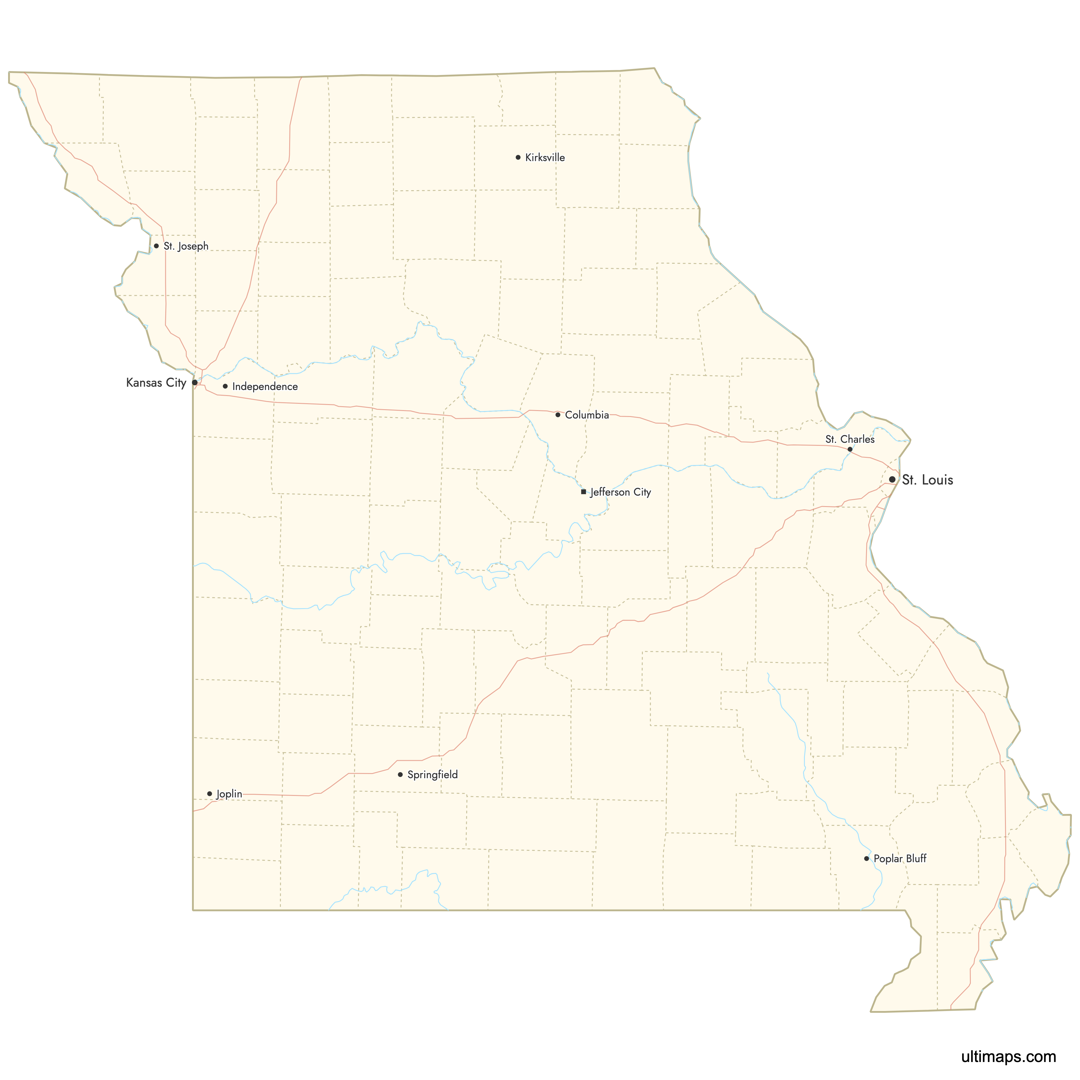
Map of Missouri Counties
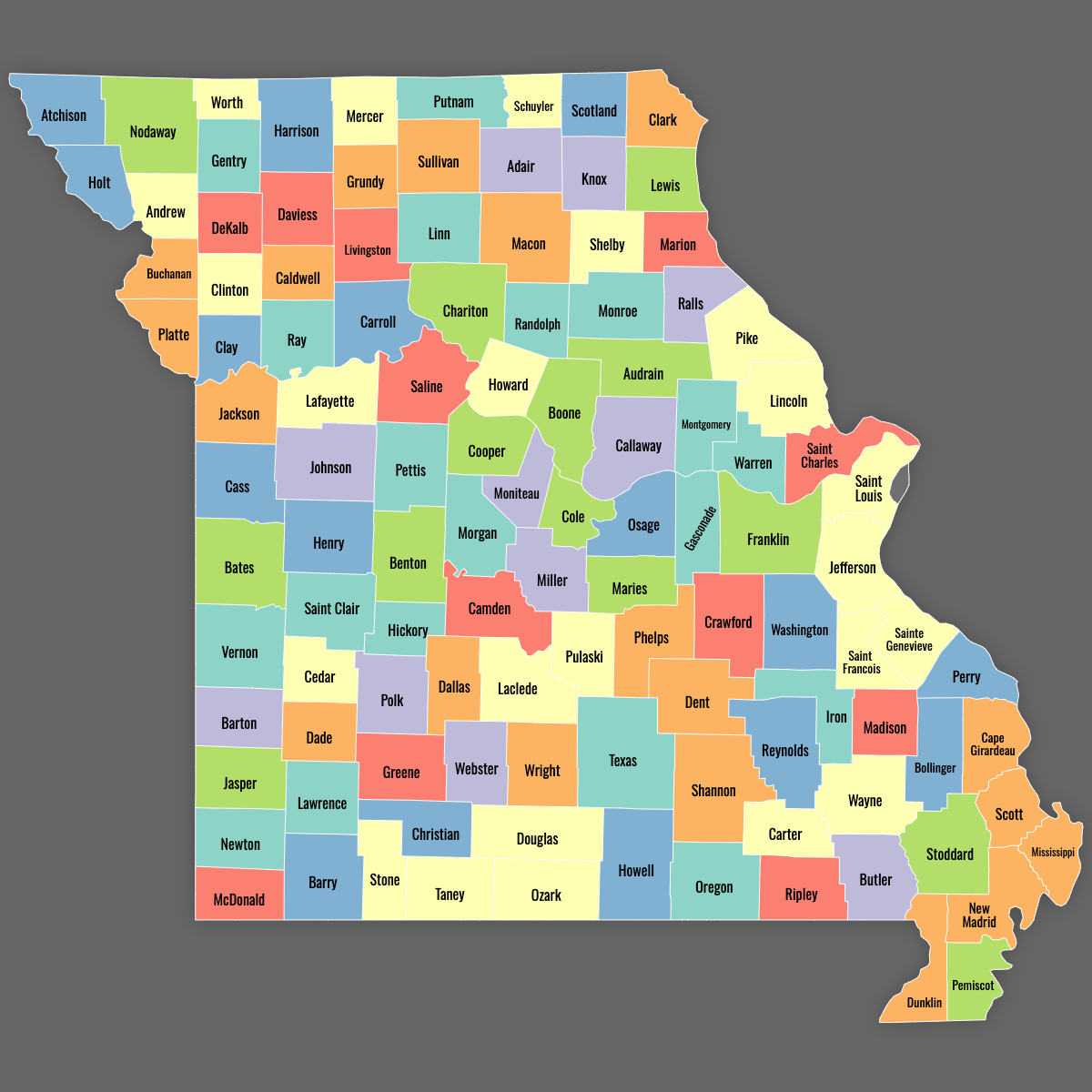
Missouri is divided into 114 counties plus the independent City of St. Louis, which functions as a county equivalent. Use the interactive maps below to explore counties and their boundaries. Download free maps or learn more about creating a custom map of Missouri to visualize your own data.
Interactive Map of Missouri Counties
List of Counties (114)
| # | County | County seat | Year founded |
|---|---|---|---|
| 1 | Adair | Kirksville | 1841 |
| 2 | Andrew | Savannah | 1841 |
| 3 | Atchison | Rock Port | 1845 |
| 4 | Audrain | Mexico | 1836 |
| 5 | Barry | Cassville | 1835 |
| 6 | Barton | Lamar | 1855 |
| 7 | Bates | Butler | 1841 |
| 8 | Benton | Warsaw | 1835 |
| 9 | Bollinger | Marble Hill | 1851 |
| 10 | Boone | Columbia | 1820 |
| 11 | Buchanan | St. Joseph | 1838 |
| 12 | Butler | Poplar Bluff | 1849 |
| 13 | Caldwell | Kingston | 1836 |
| 14 | Callaway | Fulton | 1820 |
| 15 | Camden | Camdenton | 1841 |
| 16 | Cape Girardeau | Jackson | 1812 |
| 17 | Carroll | Carrollton | 1833 |
| 18 | Carter | Van Buren | 1859 |
| 19 | Cass | Harrisonville | 1835 |
| 20 | Cedar | Stockton | 1845 |
| 21 | Chariton | Keytesville | 1820 |
| 22 | Christian | Ozark | 1859 |
| 23 | Clark | Kahoka | 1836 |
| 24 | Clay | Liberty | 1822 |
| 25 | Clinton | Plattsburg | 1833 |
| 26 | Cole | Jefferson City | 1820 |
| 27 | Cooper | Boonville | 1818 |
| 28 | Crawford | Steelville | 1829 |
| 29 | Dade | Greenfield | 1841 |
| 30 | Dallas | Buffalo | 1844 |
| 31 | Daviess | Gallatin | 1836 |
| 32 | DeKalb | Maysville | 1845 |
| 33 | Dent | Salem | 1851 |
| 34 | Douglas | Ava | 1857 |
| 35 | Dunklin | Kennett | 1845 |
| 36 | Franklin | Union | 1818 |
| 37 | Gasconade | Hermann | 1820 |
| 38 | Gentry | Albany | 1841 |
| 39 | Greene | Springfield | 1833 |
| 40 | Grundy | Trenton | 1841 |
| 41 | Harrison | Bethany | 1845 |
| 42 | Henry | Clinton | 1834 |
| 43 | Hickory | Hermitage | 1845 |
| 44 | Holt | Oregon | 1841 |
| 45 | Howard | Fayette | 1816 |
| 46 | Howell | West Plains | 1857 |
| 47 | Iron | Ironton | 1857 |
| 48 | Jackson | Independence | 1826 |
| 49 | Jasper | Carthage | 1841 |
| 50 | Jefferson | Hillsboro | 1818 |
| 51 | Johnson | Warrensburg | 1834 |
| 52 | Knox | Edina | 1845 |
| 53 | Laclede | Lebanon | 1849 |
| 54 | Lafayette | Lexington | 1820 |
| 55 | Lawrence | Mount Vernon | 1845 |
| 56 | Lewis | Monticello | 1833 |
| 57 | Lincoln | Troy | 1818 |
| 58 | Linn | Linneus | 1837 |
| 59 | Livingston | Chillicothe | 1837 |
| 60 | Macon | Macon | 1837 |
| 61 | Madison | Fredericktown | 1818 |
| 62 | Maries | Vienna | 1855 |
| 63 | Marion | Palmyra | 1826 |
| 64 | McDonald | Pineville | 1849 |
| 65 | Mercer | Princeton | 1845 |
| 66 | Miller | Tuscumbia | 1837 |
| 67 | Mississippi | Charleston | 1845 |
| 68 | Moniteau | California | 1845 |
| 69 | Monroe | Paris | 1831 |
| 70 | Montgomery | Montgomery City | 1818 |
| 71 | Morgan | Versailles | 1833 |
| 72 | New Madrid | New Madrid | 1812 |
| 73 | Newton | Neosho | 1839 |
| 74 | Nodaway | Maryville | 1845 |
| 75 | Oregon | Alton | 1845 |
| 76 | Osage | Linn | 1841 |
| 77 | Ozark | Gainesville | 1841 |
| 78 | Pemiscot | Caruthersville | 1851 |
| 79 | Perry | Perryville | 1820 |
| 80 | Pettis | Sedalia | 1833 |
| 81 | Phelps | Rolla | 1857 |
| 82 | Pike | Bowling Green | 1818 |
| 83 | Platte | Platte City | 1838 |
| 84 | Polk | Bolivar | 1835 |
| 85 | Pulaski | Waynesville | 1833 |
| 86 | Putnam | Unionville | 1845 |
| 87 | Ralls | New London | 1820 |
| 88 | Randolph | Huntsville | 1829 |
| 89 | Ray | Richmond | 1820 |
| 90 | Reynolds | Centerville | 1845 |
| 91 | Ripley | Doniphan | 1833 |
| 92 | Saint Charles | St. Charles | 1812 |
| 93 | Saint Clair | Osceola | 1841 |
| 94 | Saint Francois | Farmington | 1821 |
| 95 | Saint Louis | Clayton | 1812 |
| 96 | Sainte Genevieve | Ste. Genevieve | 1812 |
| 97 | Saline | Marshall | 1820 |
| 98 | Schuyler | Lancaster | 1845 |
| 99 | Scotland | Memphis | 1841 |
| 100 | Scott | Benton | 1821 |
| 101 | Shannon | Eminence | 1841 |
| 102 | Shelby | Shelbyville | 1835 |
| 103 | Stoddard | Bloomfield | 1835 |
| 104 | Stone | Galena | 1851 |
| 105 | Sullivan | Milan | 1845 |
| 106 | Taney | Forsyth | 1837 |
| 107 | Texas | Houston | 1845 |
| 108 | Vernon | Nevada | 1855 |
| 109 | Warren | Warrenton | 1833 |
| 110 | Washington | Potosi | 1813 |
| 111 | Wayne | Greenville | 1818 |
| 112 | Webster | Marshfield | 1855 |
| 113 | Worth | Grant City | 1861 |
| 114 | Wright | Hartville | 1841 |
Missouri Counties: Key Facts
- Total number of counties: 114 plus the independent City of St. Louis
- Most populous county: St. Louis County (1,001,232 residents)
- Least populous county: Worth County (1,960 residents)
- Largest county by land area: Texas County - 1,181 square miles (3,057 square kilometers)
- Smallest county by area: St. Francois County - 151 square miles (391 square kilometers)
- Counties with major urban centers: Jackson (Kansas City), St. Louis City, Greene (Springfield), Boone (Columbia), Jasper (Joplin)
- State capital location: Cole County (Jefferson City)
- Time zone: Central Time Zone (UTC-6 standard, UTC-5 daylight)
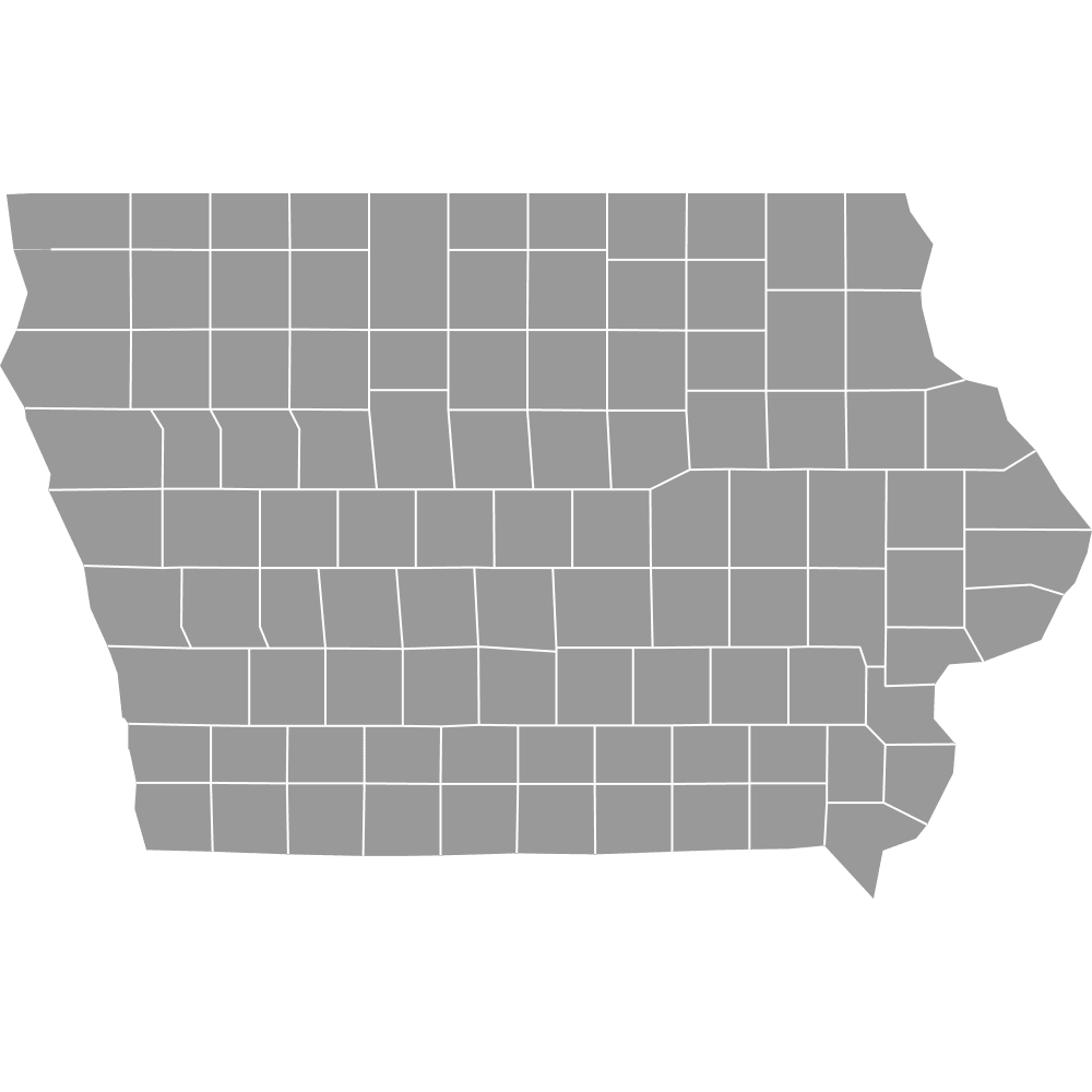
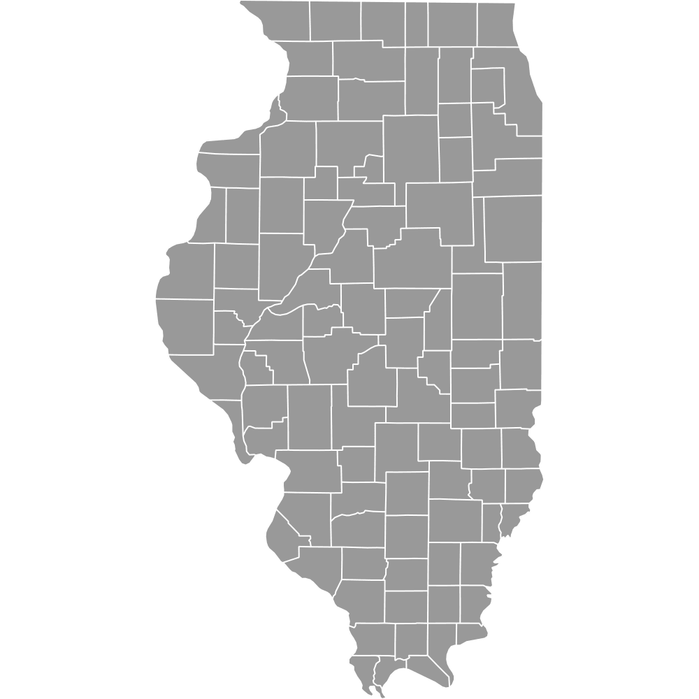
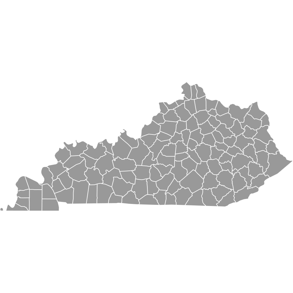
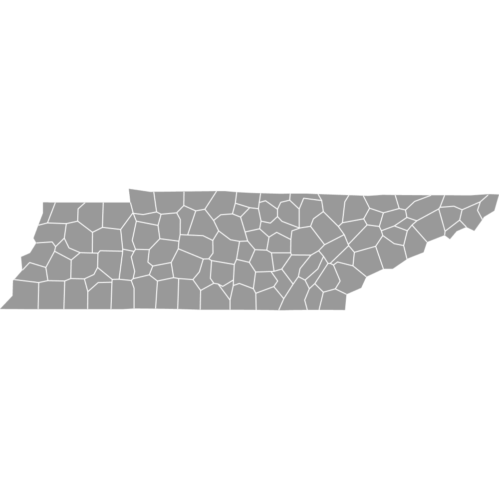
- Bordering states: Iowa, Illinois, Kentucky, Tennessee, Arkansas, Kansas, and Nebraska
Interesting Facts
- The independent City of St. Louis is geographically surrounded by but politically separate from St. Louis County.
- Missouri's Bootheel region forms a distinct southeastern protrusion added in 1818 for Mississippi River access.
- Taney County is home to Branson, a major entertainment hub.
- New Madrid County is named after the 1811-1812 earthquakes, which temporarily reversed the Mississippi River flow.
- Ste. Genevieve County is Missouri's oldest settlement, with French colonial heritage.
Free Downloads
Free for personal and commercial use with a credit to Ultimaps. See the license terms for details.
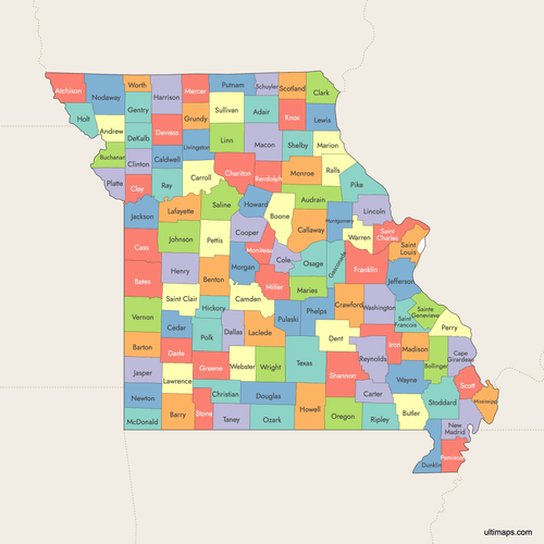 Colored Map of Missouri Counties with Surrounding Areaspng889 KB
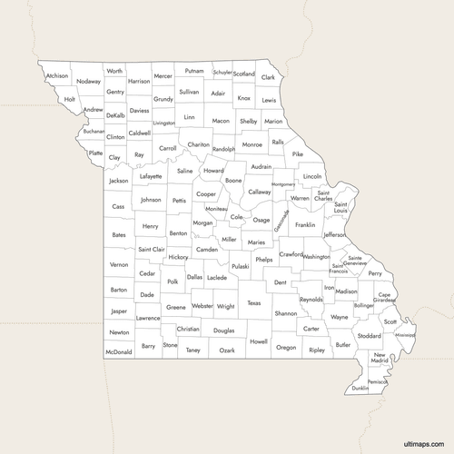 Labeled Map of Missouri Counties with Surrounding Areaspng844 KB
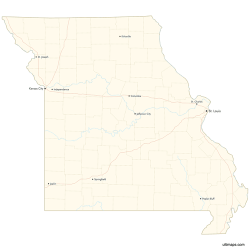 Map of Missouri Counties with Citiespng729 KB
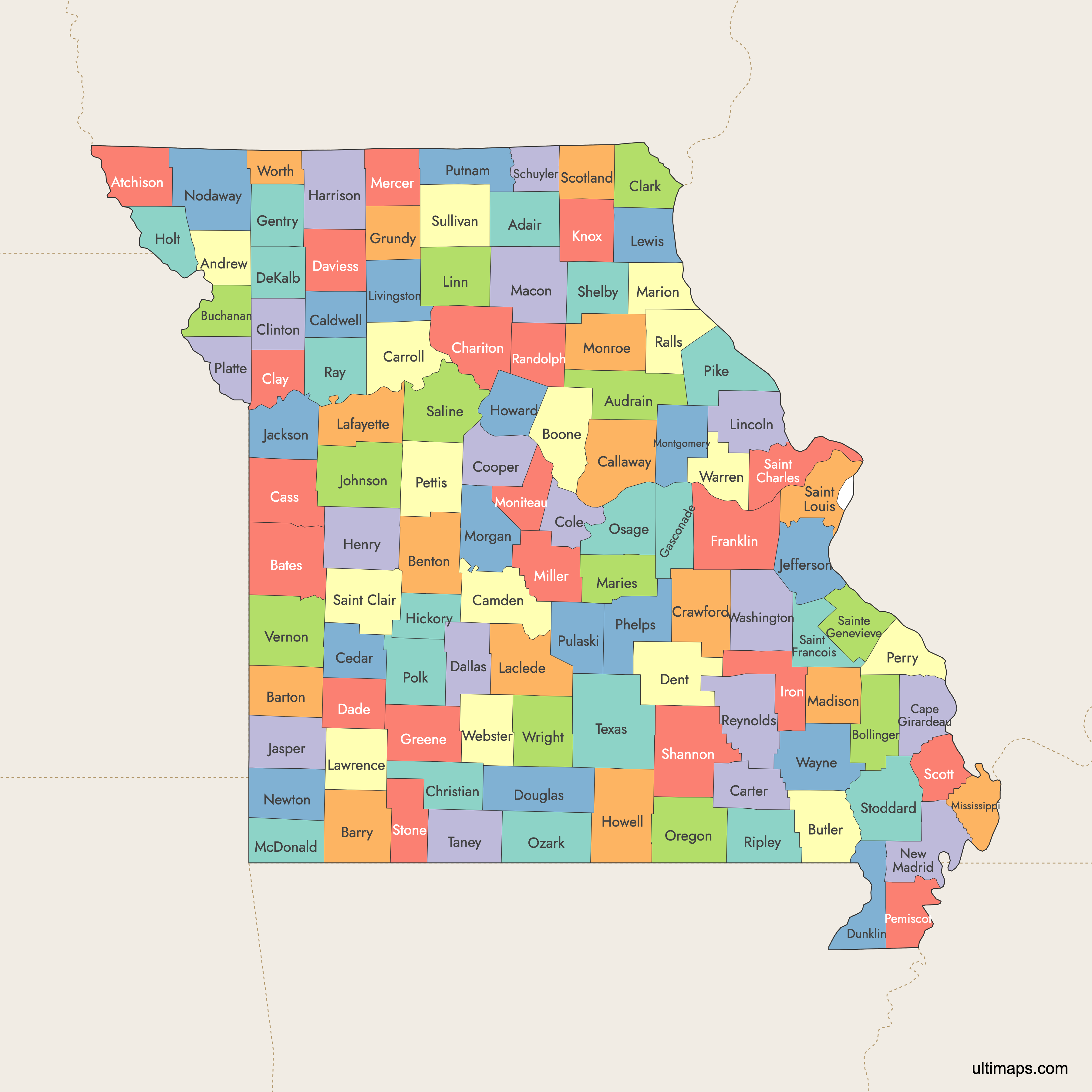
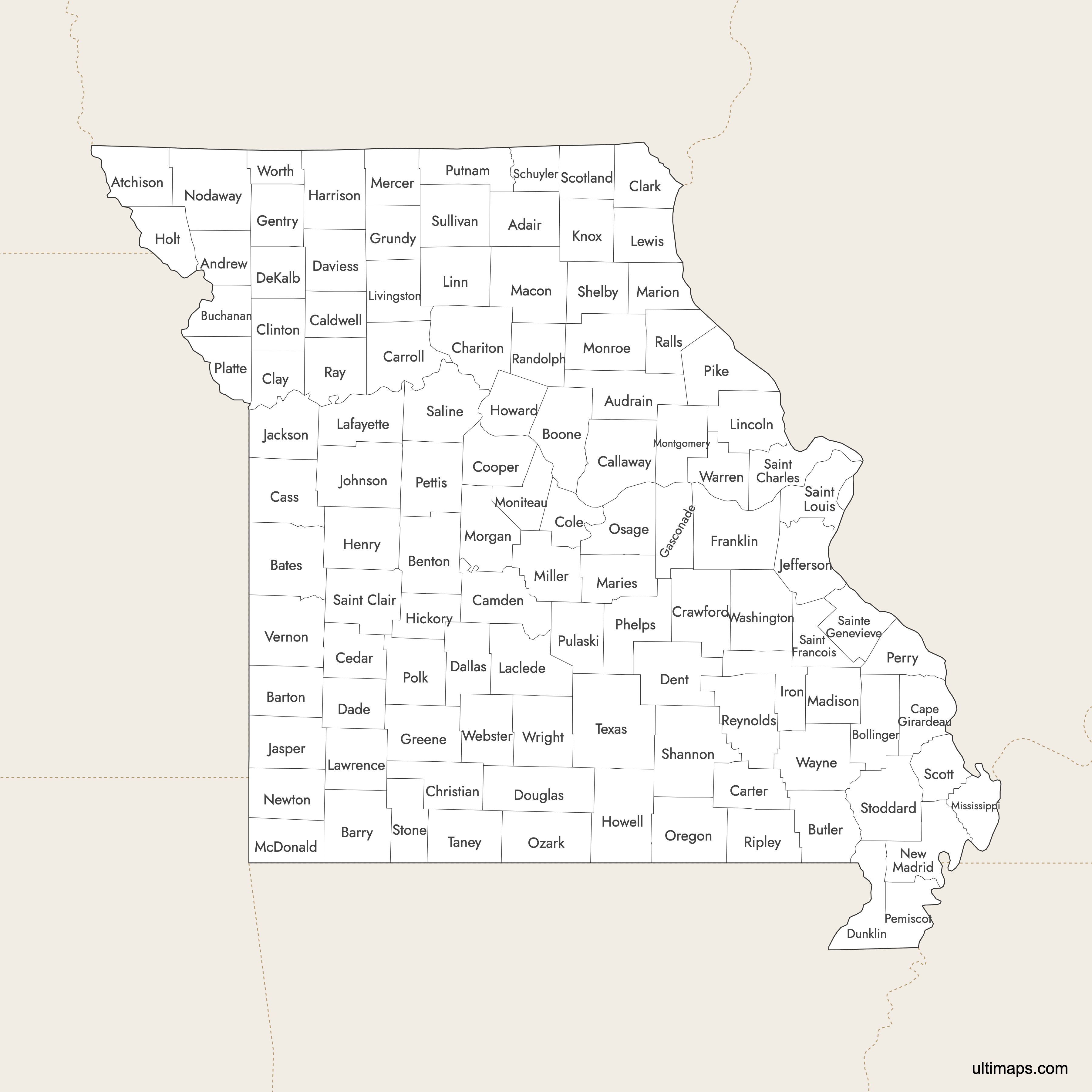
Need it without colors? The blank version of this map comes as a print-ready PDF (A4 and US Letter), a PNG and an editable SVG.
Custom Map Features
This map supports labels.
This map supports surrounding areas, roads, rivers and cities. New
This map is divided into 114 counties.
Updates
Aug 6, 2025:
- Improved map quality
- Added support for surrounding areas and lakes
Aug 26, 2024:
- Added map of Missouri Counties
Frequently Asked Questions
Missouri has exactly 114 counties plus the independent City of St. Louis, which operates at the county level for administration.
Missouri borders Iowa, Illinois, Kentucky, Tennessee, Arkansas, Kansas, and has a short border with Nebraska.
Jefferson City, Missouri's state capital, is the seat of Cole County.
The Bootheel consists of Pemiscot, Dunklin, New Madrid, Mississippi, Scott, and Stoddard counties.
Kansas City spans Jackson, Clay, Platte, and Cass counties. St. Louis is an independent city adjacent to St. Louis County.
You can use Ultimaps to create custom maps of Missouri. Color-code counties manually or upload data, place pins, customize look and feel, and export to PNG, PDF, or SVG.