Map of Iowa Counties
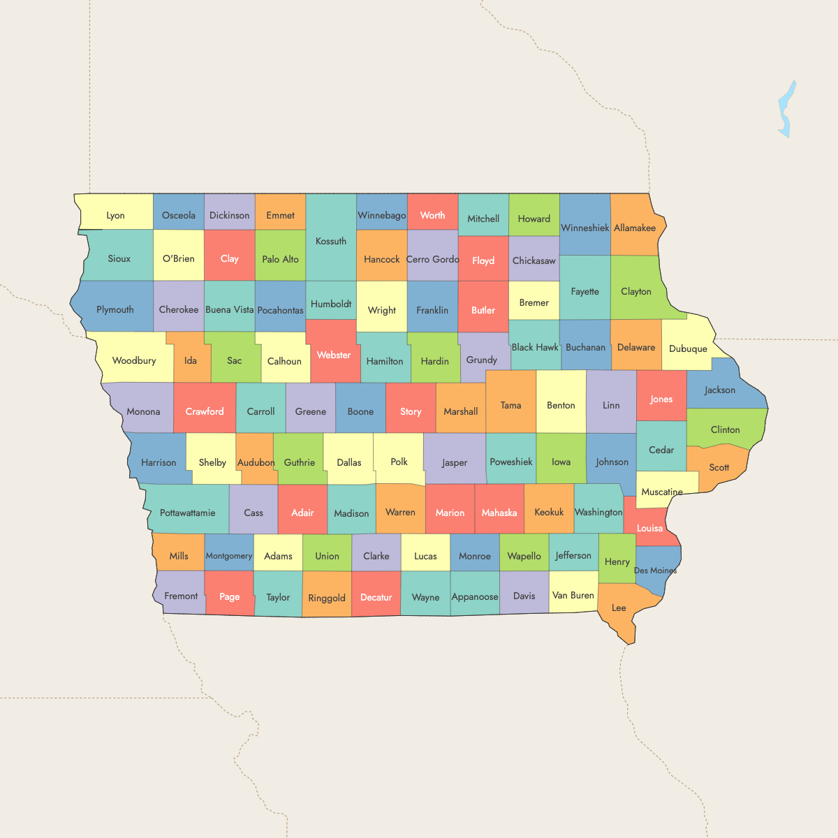
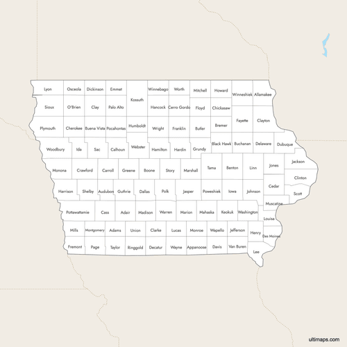
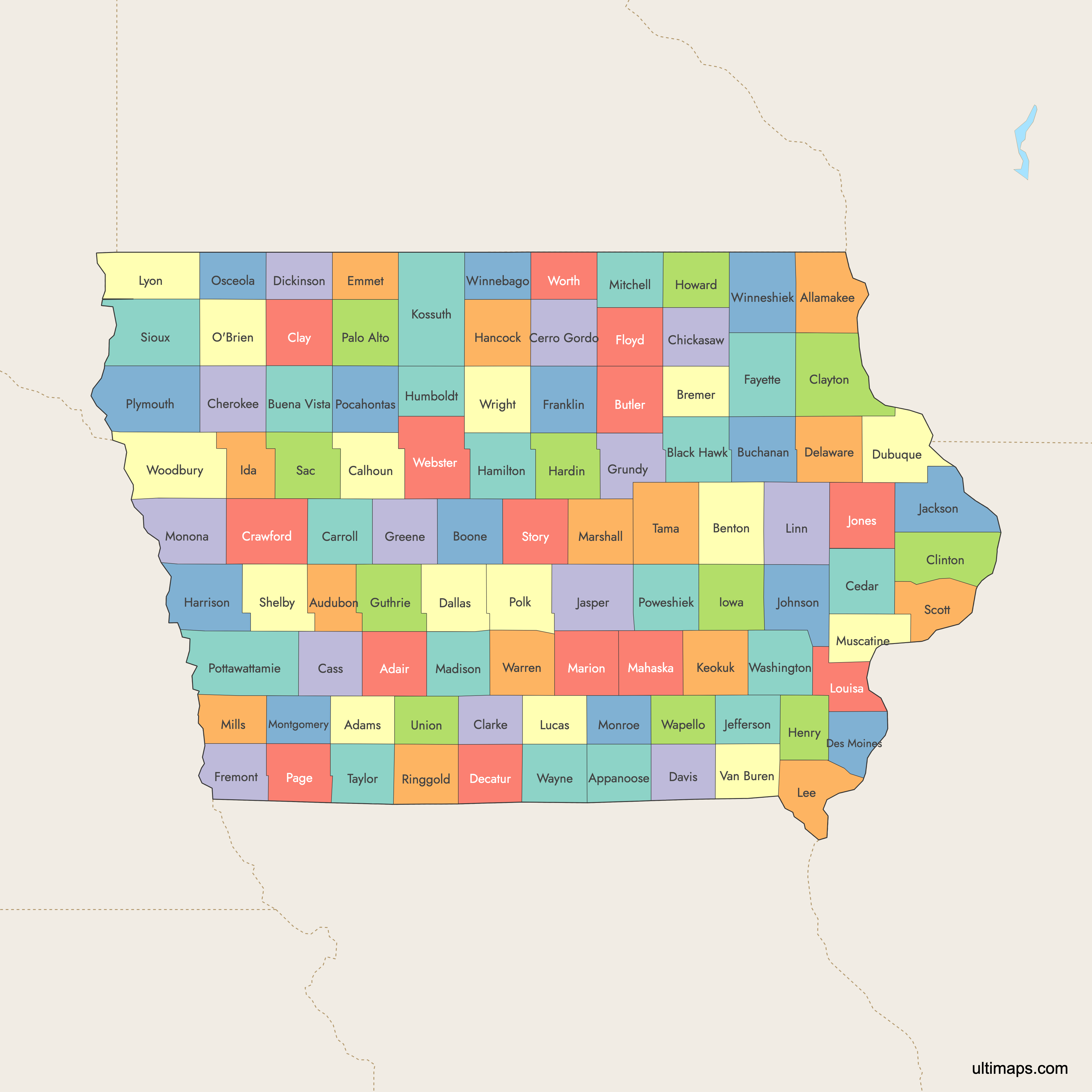
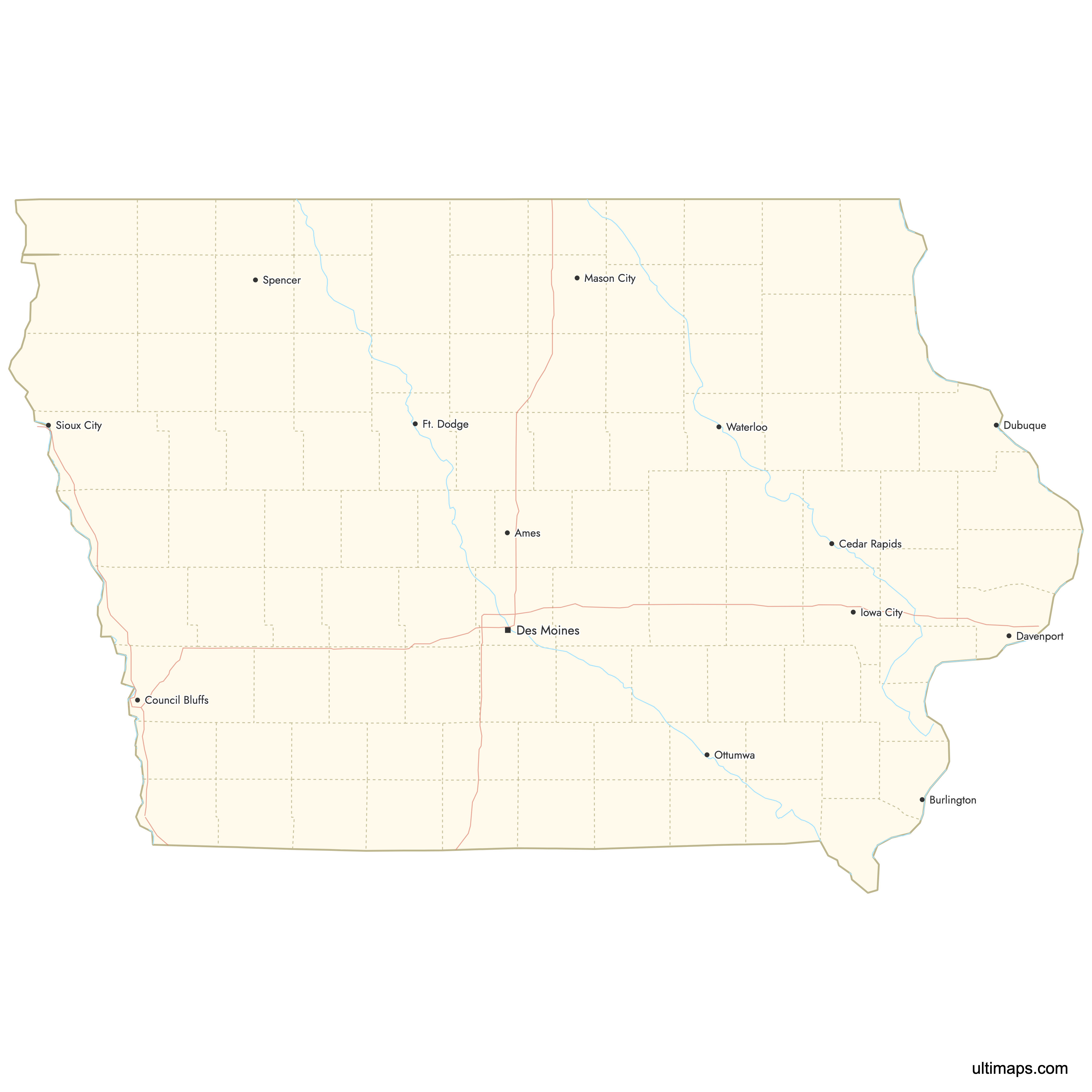
Iowa is divided into 99 counties, each serving as an administrative unit with its own county seat. The state spans from the Mississippi River on the east to the Missouri and Big Sioux rivers on the west, with counties arranged in a near-perfect rectangular grid. Use the interactive maps below to explore Iowa's counties and their boundaries. Download free maps or learn more about creating a custom map of Iowa to visualize your own data.
Interactive Map of Iowa Counties
List of Counties (99)
| # | County | County seat | Year founded |
|---|---|---|---|
| 1 | Adair | Greenfield | NaN |
| 2 | Adams | Corning | NaN |
| 3 | Allamakee | Waukon | NaN |
| 4 | Appanoose | Centerville | NaN |
| 5 | Audubon | Audubon | NaN |
| 6 | Benton | Vinton | NaN |
| 7 | Black Hawk | Waterloo | NaN |
| 8 | Boone | Boone | NaN |
| 9 | Bremer | Waverly | NaN |
| 10 | Buchanan | Independence | NaN |
| 11 | Buena Vista | Storm Lake | NaN |
| 12 | Butler | Allison | NaN |
| 13 | Calhoun | Rockwell City | NaN |
| 14 | Carroll | Carroll | NaN |
| 15 | Cass | Atlantic | NaN |
| 16 | Cedar | Tipton | NaN |
| 17 | Cerro Gordo | Mason City | NaN |
| 18 | Cherokee | Cherokee | NaN |
| 19 | Chickasaw | New Hampton | NaN |
| 20 | Clarke | Osceola | NaN |
| 21 | Clay | Spencer | NaN |
| 22 | Clayton | Elkader | NaN |
| 23 | Clinton | Clinton | NaN |
| 24 | Crawford | Denison | NaN |
| 25 | Dallas | Adel | NaN |
| 26 | Davis | Bloomfield | NaN |
| 27 | Decatur | Leon | NaN |
| 28 | Delaware | Manchester | NaN |
| 29 | Des Moines | Burlington | NaN |
| 30 | Dickinson | Spirit Lake | NaN |
| 31 | Dubuque | Dubuque | NaN |
| 32 | Emmet | Estherville | NaN |
| 33 | Fayette | West Union | NaN |
| 34 | Floyd | Charles City | NaN |
| 35 | Franklin | Hampton | NaN |
| 36 | Fremont | Sidney | NaN |
| 37 | Greene | Jefferson | NaN |
| 38 | Grundy | Grundy Center | NaN |
| 39 | Guthrie | Guthrie Center | NaN |
| 40 | Hamilton | Webster City | NaN |
| 41 | Hancock | Garner | NaN |
| 42 | Hardin | Eldora | NaN |
| 43 | Harrison | Logan | NaN |
| 44 | Henry | Mount Pleasant | NaN |
| 45 | Howard | Cresco | NaN |
| 46 | Humboldt | Dakota City | NaN |
| 47 | Ida | Ida Grove | NaN |
| 48 | Iowa | Marengo | NaN |
| 49 | Jackson | Maquoketa | NaN |
| 50 | Jasper | Newton | NaN |
| 51 | Jefferson | Fairfield | NaN |
| 52 | Johnson | Iowa City | NaN |
| 53 | Jones | Anamosa | NaN |
| 54 | Keokuk | Sigourney | NaN |
| 55 | Kossuth | Algona | NaN |
| 56 | Lee | Fort Madison and Keokuk | NaN |
| 57 | Linn | Cedar Rapids | NaN |
| 58 | Louisa | Wapello | NaN |
| 59 | Lucas | Chariton | NaN |
| 60 | Lyon | Rock Rapids | NaN |
| 61 | Madison | Winterset | NaN |
| 62 | Mahaska | Oskaloosa | NaN |
| 63 | Marion | Knoxville | NaN |
| 64 | Marshall | Marshalltown | NaN |
| 65 | Mills | Glenwood | NaN |
| 66 | Mitchell | Osage | NaN |
| 67 | Monona | Onawa | NaN |
| 68 | Monroe | Albia | NaN |
| 69 | Montgomery | Red Oak | NaN |
| 70 | Muscatine | Muscatine | NaN |
| 71 | O'Brien | Primghar | NaN |
| 72 | Osceola | Sibley | NaN |
| 73 | Page | Clarinda | NaN |
| 74 | Palo Alto | Emmetsburg | NaN |
| 75 | Plymouth | Le Mars | NaN |
| 76 | Pocahontas | Pocahontas | NaN |
| 77 | Polk | Des Moines | NaN |
| 78 | Pottawattamie | Council Bluffs | NaN |
| 79 | Poweshiek | Montezuma | NaN |
| 80 | Ringgold | Mount Ayr | NaN |
| 81 | Sac | Sac City | NaN |
| 82 | Scott | Davenport | NaN |
| 83 | Shelby | Harlan | NaN |
| 84 | Sioux | Orange City | NaN |
| 85 | Story | Nevada | NaN |
| 86 | Tama | Toledo | NaN |
| 87 | Taylor | Bedford | NaN |
| 88 | Union | Creston | NaN |
| 89 | Van Buren | Keosauqua | NaN |
| 90 | Wapello | Ottumwa | NaN |
| 91 | Warren | Indianola | NaN |
| 92 | Washington | Washington | NaN |
| 93 | Wayne | Corydon | NaN |
| 94 | Webster | Fort Dodge | NaN |
| 95 | Winnebago | Forest City | NaN |
| 96 | Winneshiek | Decorah | NaN |
| 97 | Woodbury | Sioux City | NaN |
| 98 | Worth | Northwood | NaN |
| 99 | Wright | Clarion | NaN |
Iowa Counties: Key Facts
- Total number of counties: 99, making Iowa one of the states with the most counties in the U.S.
- Most populous county: Polk County (Des Moines area), the state's largest population center (2020 Census)
- Least populous county: Monroe County at 7,373 residents (2020 Census)
- Largest county by area: Kossuth County at 973 square miles (2,520 km²)
- Capital and administrative center: Des Moines, located in Polk County, serves as the state capital and largest city
- Major urban centers: Polk County (Des Moines), Linn County (Cedar Rapids), Scott County (Davenport/Quad Cities), Woodbury County (Sioux City), and Black Hawk County (Waterloo)
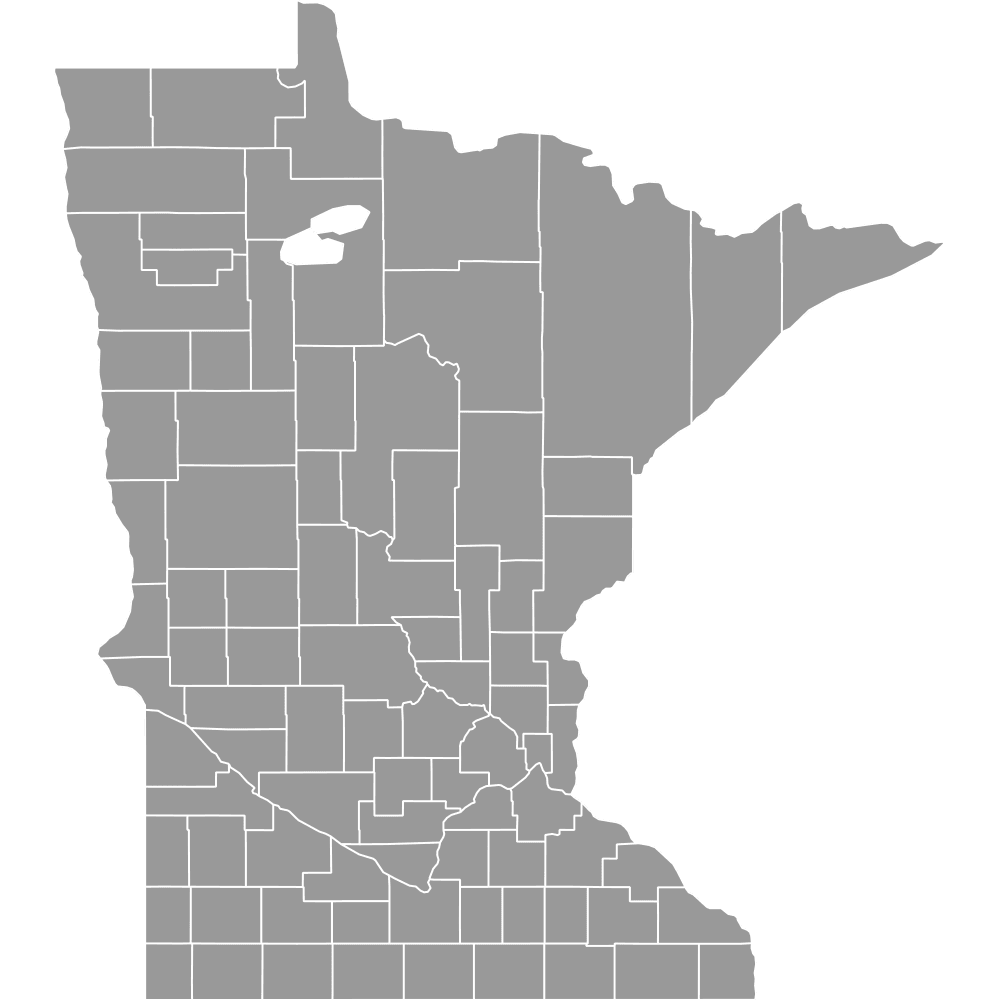
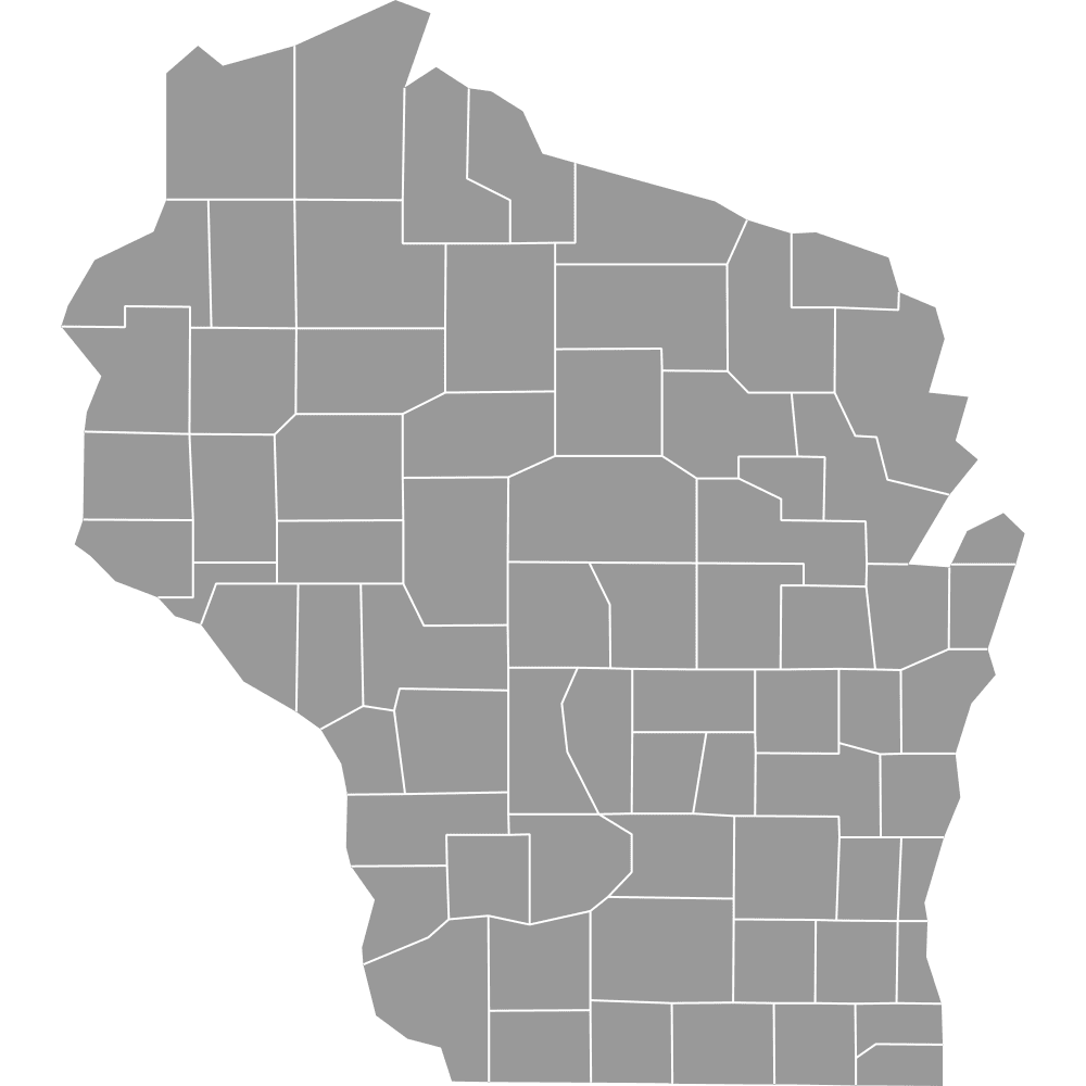
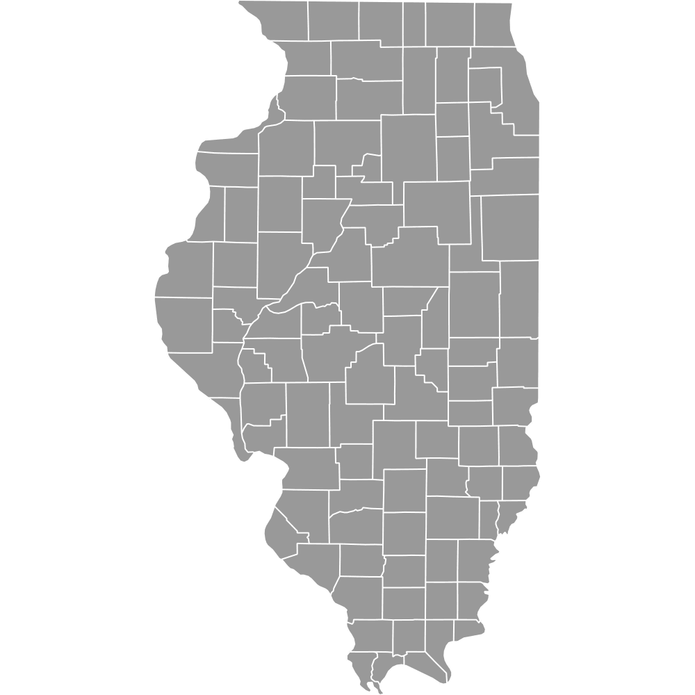
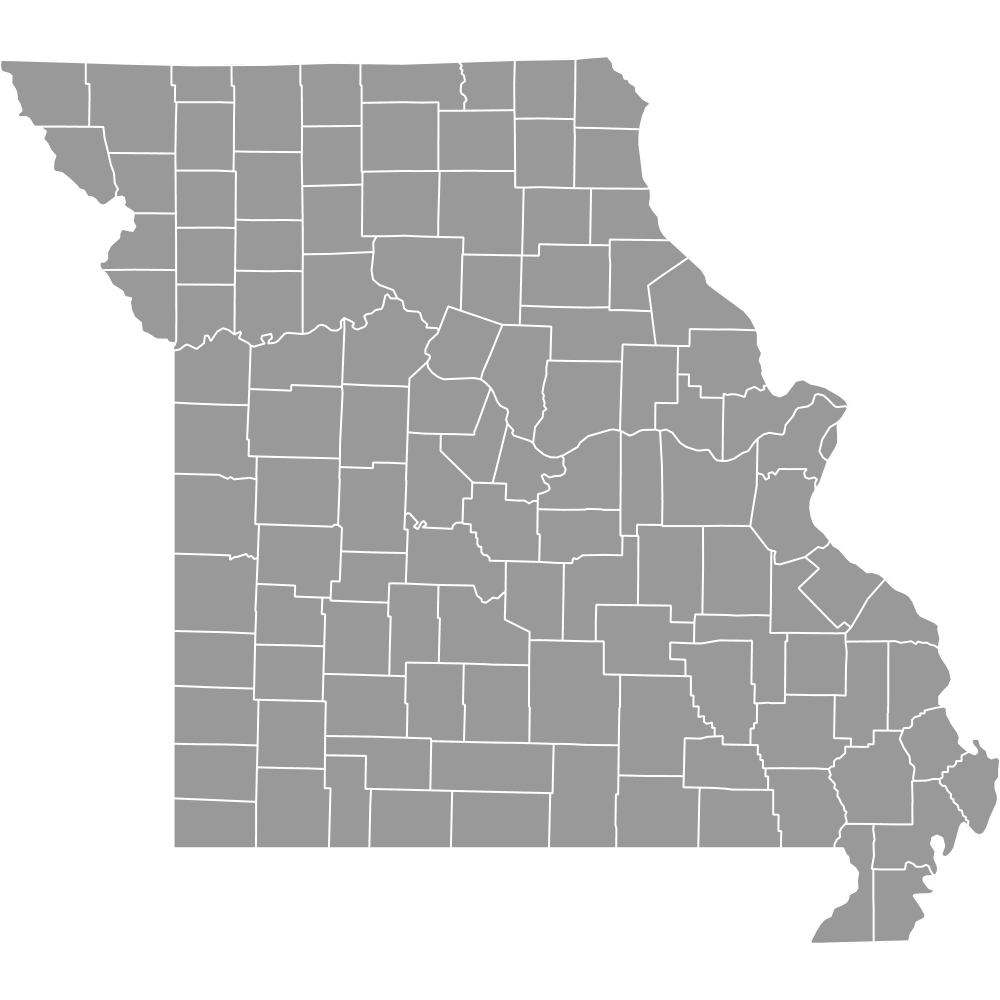
- Bordering states and waterways: Minnesota to the north, South Dakota and Nebraska to the west, Missouri to the south, and Wisconsin and Illinois to the east across the Mississippi River
- Time zone: Central Time Zone (UTC-6 standard / UTC-5 daylight saving)
- Boundary history: The first two counties, Des Moines and Dubuque, were established in 1834 from Wisconsin Territory lands. Most remaining counties were created between 1836 and 1853, with the current 99-county structure stable since the mid-19th century.
Interesting Facts
- Iowa's county names honor a wide range of figures: U.S. presidents (Monroe, Taylor, Van Buren), Revolutionary War figures (Montgomery, Shelby), Native American leaders (Keokuk, Wapello), and even a Hungarian revolutionary (Kossuth County, named for Lajos Kossuth).
- Iowa County, with its seat at Marengo, shares its name with the state but is just one of 99 counties and not the capital county.
- Iowa City in Johnson County served as the state capital before Des Moines took over the role, and it remains home to the University of Iowa.
- Dubuque and Des Moines Counties are Iowa's oldest, created two years before the state even became part of Iowa Territory and 12 years before statehood in 1846.
Free Downloads
Free for personal and commercial use with a credit to Ultimaps. See the license terms for details.
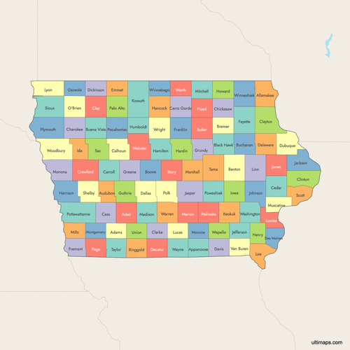 Colored Map of Iowa Counties with Surrounding Areaspng602 KB
 Labeled Map of Iowa Counties with Surrounding Areaspng545 KB
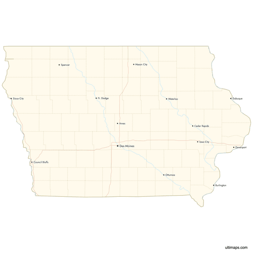 Map of Iowa Counties with Citiespng513 KB
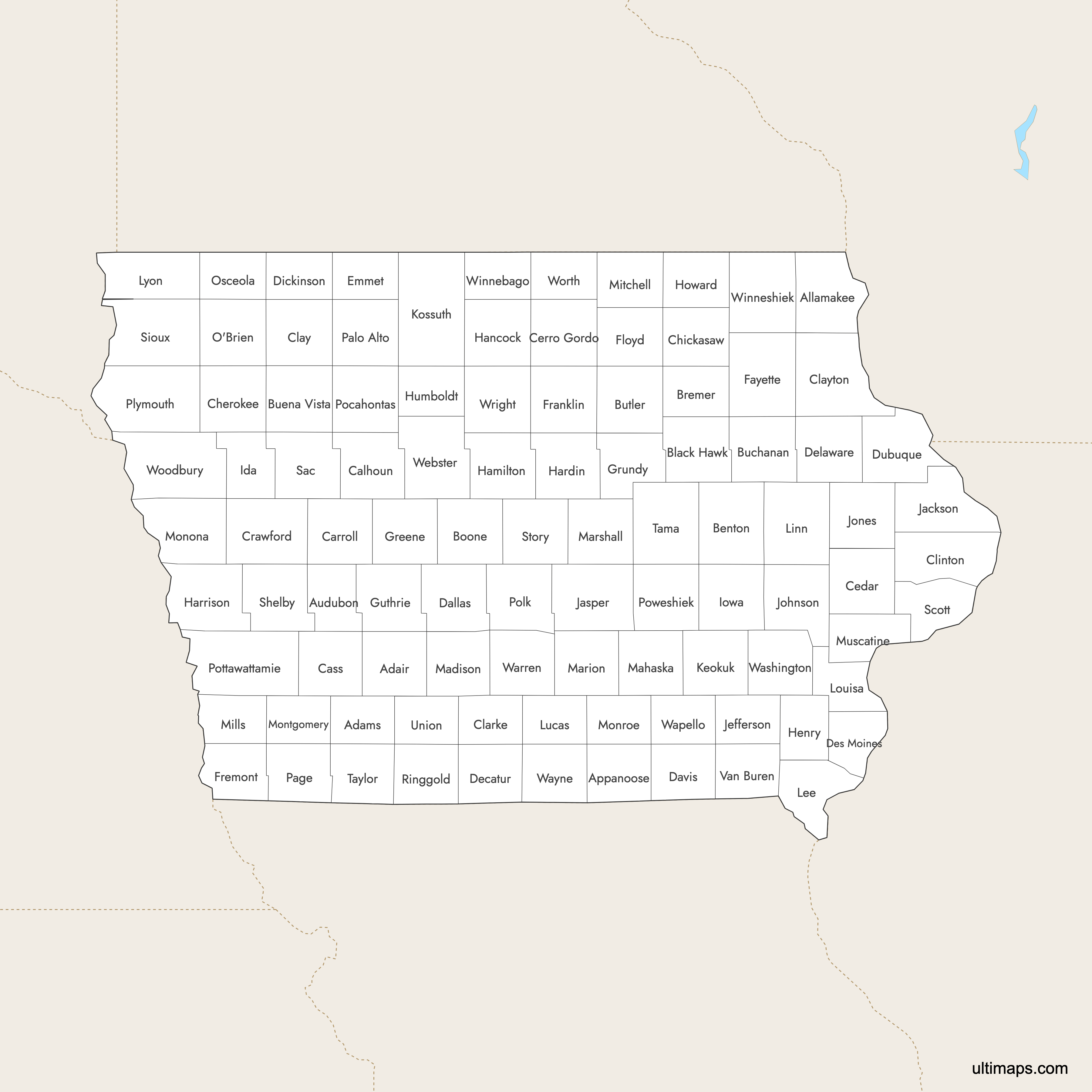
Need it without colors? The blank version of this map comes as a print-ready PDF (A4 and US Letter), a PNG and an editable SVG.
Custom Map Features
This map supports labels.
This map supports surrounding areas, roads, rivers and cities. New
This map is divided into 99 counties.
Updates
Aug 26, 2024:
- Added map of Iowa Counties
Frequently Asked Questions
Iowa has 99 counties, each with a designated county seat. The first two counties, Des Moines and Dubuque, were established in 1834. The rest were created between 1836 and 1853, and the 99-county structure has remained stable since the mid-19th century.
Kossuth County is the largest county in Iowa by area at 973 square miles (2,520 km²). It is located in the north-central part of the state and was named after Lajos Kossuth, a Hungarian revolutionary leader.
Iowa's counties vary significantly in size, with compact urban counties like Polk County among the smallest by land area. Polk County, despite its small footprint, is the most populous county in the state and contains the capital city of Des Moines.
Polk County is the most populated county in Iowa. It contains Des Moines, the state capital and largest city. Other heavily populated counties include Linn County (Cedar Rapids), Scott County (Davenport), and Black Hawk County (Waterloo).
Monroe County is the least populated county in Iowa with 7,373 residents according to the 2020 Census. It is located in the southern part of the state.
Des Moines, the state capital and largest city, is in Polk County. Cedar Rapids, the second-largest city, is in Linn County. Davenport, part of the Quad Cities on the Mississippi River, is in Scott County. Iowa City, home to the University of Iowa and the former state capital, is in Johnson County. Sioux City, a major western hub, is in Woodbury County.
Iowa's first two counties, Des Moines and Dubuque, were created in 1834 from Wisconsin Territory lands. A large number of counties were established on December 21, 1837, and January 15, 1851. By 1853, all 99 counties were in place, and the boundaries have remained essentially unchanged since then.
Iowa's counties draw their names from a variety of sources. Many honor U.S. presidents (Monroe, Taylor, Van Buren), Revolutionary War figures (Montgomery, Shelby), and U.S. senators (Jones, Webster). Others are named for Native American leaders (Keokuk, Wapello) or international figures like Hungarian revolutionary Lajos Kossuth.
Iowa is bordered by Minnesota to the north, South Dakota and Nebraska to the west, Missouri to the south, and Wisconsin and Illinois to the east. The Mississippi River forms the entire eastern border, while the Missouri River and Big Sioux River define much of the western border.
You can use Ultimaps to create custom maps of Iowa. Color-code counties manually or upload your data, place pins, customize the look and feel, and export to PNG, PDF, or SVG. No sign-up required.