US ZIP Code Maps
Interactive ZIP code maps for 8 states and the country as a whole, drawn from the Census Bureau's ZIP Code Tabulation Areas rather than USPS delivery routes. Every state map is searchable by ZIP code, place name and county, and any area can be selected, colored and exported. The Census draws 33,791 ZIP areas nationally, and each map below shows how many it covers.
That distinction is not a technicality. It changes what these maps can and cannot be used for, and the section below explains why.
Already have a list of codes to plot? Paste it into the ZIP code map maker and the matching areas are colored straight away, by category or shaded by a number you supply.
US 3-Digit ZIP Code Map
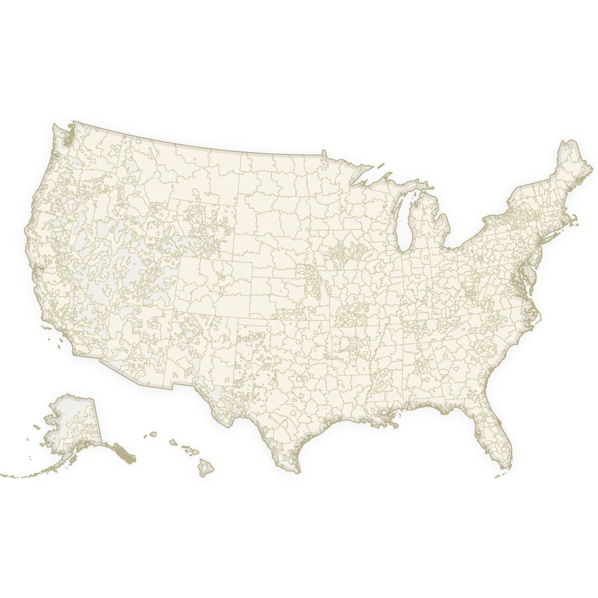
891 three-digit prefixes, each one a mail processing region. Open the interactive map to hover a prefix and see which area it covers.
Why a ZIP code map is not a USPS map
A USPS ZIP code is not an area. It is a set of delivery stops strung along carrier routes, invented to sort mail rather than to describe geography, and the Postal Service has never published it as a polygon. So every ZIP code map in existence, ours included, is an approximation built by somebody else.
The approximation nearly everyone uses, and the one these maps are drawn from, is the Census Bureau's ZIP Code Tabulation Area. The Census takes each census block, finds the ZIP code most of its addresses use, and groups the blocks by that answer. The fit is close in cities and loose in the countryside, where one carrier route can wander for miles.
Three consequences are worth knowing before you rely on any ZIP map:
- Not every ZIP code has a shape. About 4,800 delivery ZIP codes, roughly one in eight, have no ZCTA at all, because they are PO-box-only, assigned to a single building, or military. They cannot be drawn, so they are absent from every map on this site.
- Not every place has a ZIP code. Roughly a fifth of US land area sits inside no ZCTA. National parks, wilderness, desert and tundra show up as gaps, which is correct rather than missing. Each map shades that land separately and draws the border around the state itself, so the gaps read as unassigned rather than as missing pieces.
- The boundaries are frozen. This is the 2020 delineation, and the Census will not redraw it until after the 2030 count, while USPS keeps changing ZIP codes in the meantime.
None of this makes ZIP maps less useful. For territories, coverage areas, service regions and any dataset that arrives keyed by ZIP, they are exactly the right tool. It does mean they are a geographic reference and not a legal one. Do not use them for property lines, tax districts, school zones, voting districts or emergency response areas.
Every state page carries the same caveats alongside its own numbers. The Texas ZIP code map is the largest at 1,990 areas, the California ZIP code map uses the most three-digit prefixes at 57, and the New York ZIP code map holds some of the smallest ZIP areas in the country.
ZIP code maps by state
Figures are the number of ZIP areas drawn on each map.