US 3-Digit ZIP Code Map
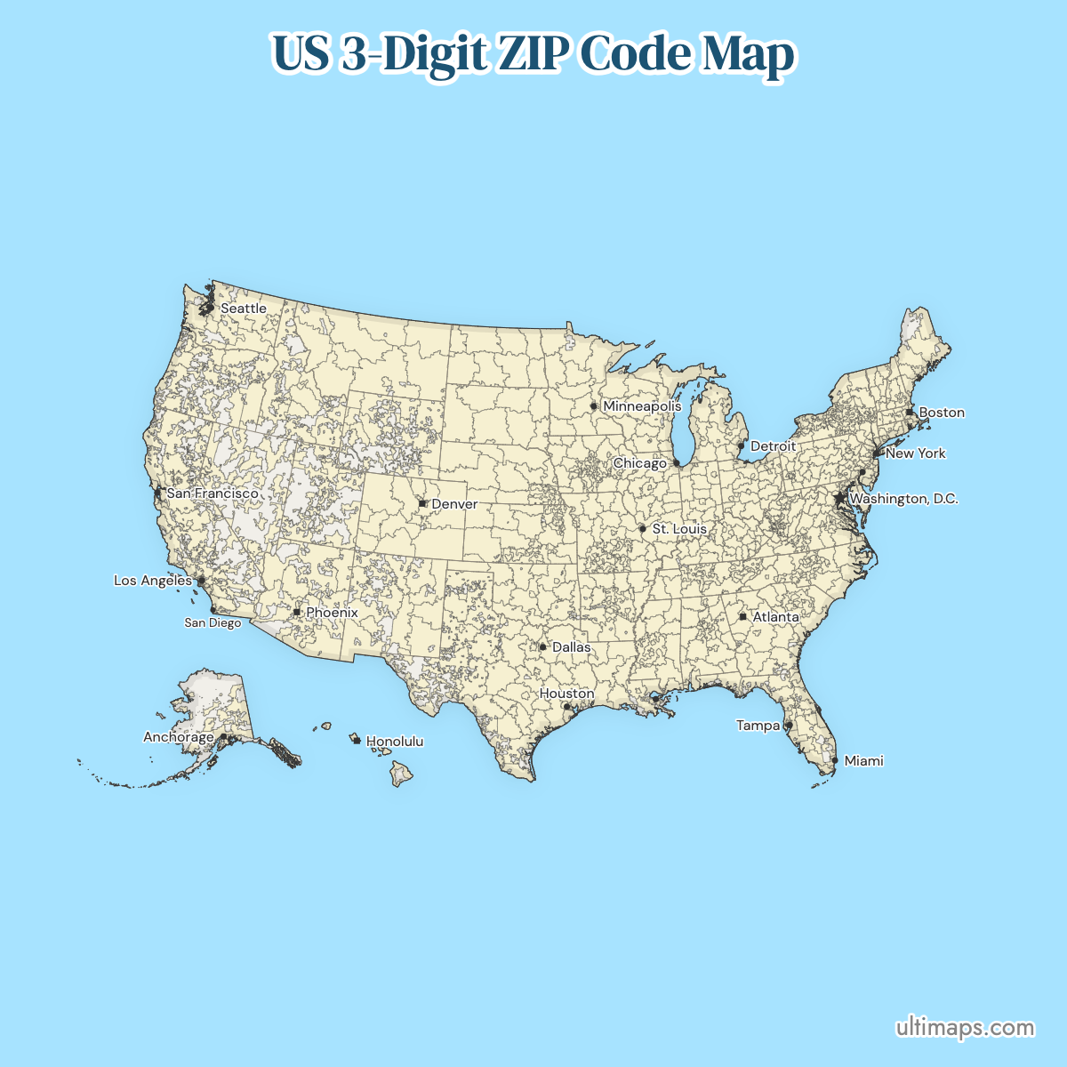
The first three digits of a ZIP code identify the mail processing facility that serves everything beneath it, and there are 891 of them covering the 50 states and the District of Columbia. That makes this the only ZIP code map of the whole country that stays readable: the five-digit picture has 33,791 areas, an average of 37.9 under every prefix on this map. California uses the most prefixes with 57, then New York with 50 and Texas with 49. Rhode Island and Hawaii use two each. Click a prefix to highlight it, sort the table by how many ZIP areas it contains, or open the map in the editor to color your own regions.
This map belongs to the US ZIP code maps collection, which covers the national 3-digit prefix map and a separate map for every published state. To color a list of your own codes on it, paste them into the ZIP code map maker.
Interactive US 3-Digit ZIP Code Map
List of ZIP Code Prefixes (891)
Sources: ZIP boundaries and codes from the U.S. Census Bureau 2020 ZIP Code Tabulation Areas (public domain). Census geography has been simplified for display. This is not an official Census Bureau product, and the Census Bureau does not endorse it.
About these boundaries: ZIP Code Tabulation Areas approximate the area a ZIP code covers, but a ZIP code is a set of delivery routes, not a shape. Around 4,800 delivery ZIP codes have no boundary at all, being PO-box-only, single-building or military codes. Shaded ZIP areas and outlines are approximate geographic references. They are not legal property boundaries, municipal boundaries, tax districts, voting districts, school zones, emergency response areas, or official USPS delivery boundaries.
What a prefix is. A three-digit prefix is a sectional center facility, the regional hub that sorts mail for every ZIP code beginning with those digits. Because sales territories, service areas and delivery zones are so often defined at this level, the 891 prefixes are a more practical unit than the 33,791 five-digit areas for most planning work, and the only one that fits on a single sheet of the United States.
How unevenly they divide. The average prefix contains 37.9 five-digit ZIP areas and the median 37, but the spread is wide. Prefix 770, covering the Houston area, contains 96, the busiest in the country. New Jersey's 080, California's 956, Utah's 840 and Pennsylvania's 170 follow with 86 or 87 each. Every one of the 891 prefixes contains at least one five-digit ZIP area.
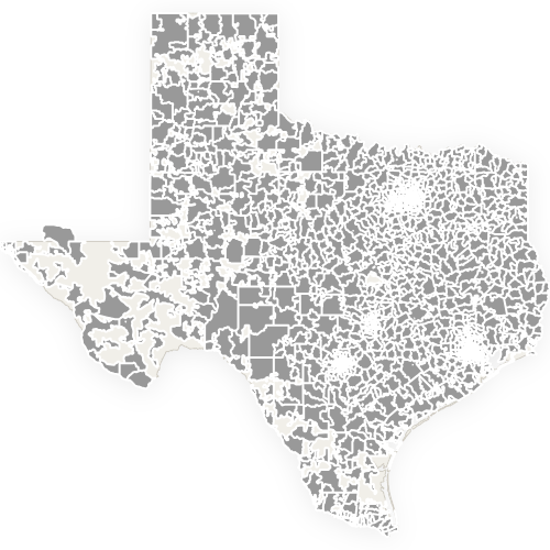
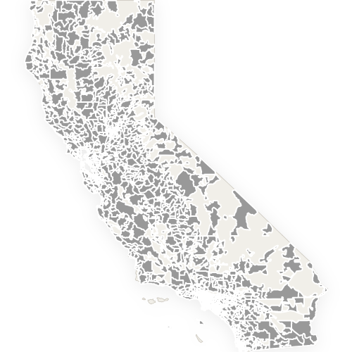
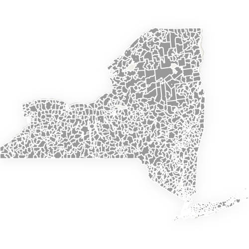
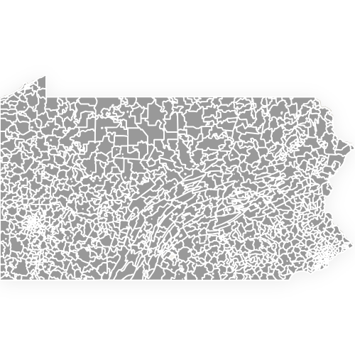
By state. California uses 57 prefixes, more than any other state, followed by New York with 50, Texas with 49 and Pennsylvania with 46. Ohio and Illinois use 29 each. At the other end, Delaware manages with 3, and Rhode Island and Hawaii with 2 apiece. The prefix count tracks mail routing structure rather than population or area: Texas is more than four times the size of California but uses eight fewer prefixes.
The range. Prefixes run from 010 in western Massachusetts to 999 in Alaska, broadly west-increasing from the northeast. That ordering is why a ZIP code's first digit tells you roughly which part of the country it belongs to, and why neighbouring states so often share a numeric block.
Free Downloads
Free for personal and commercial use with a credit to Ultimaps. See the license terms for details.
Custom Map Features
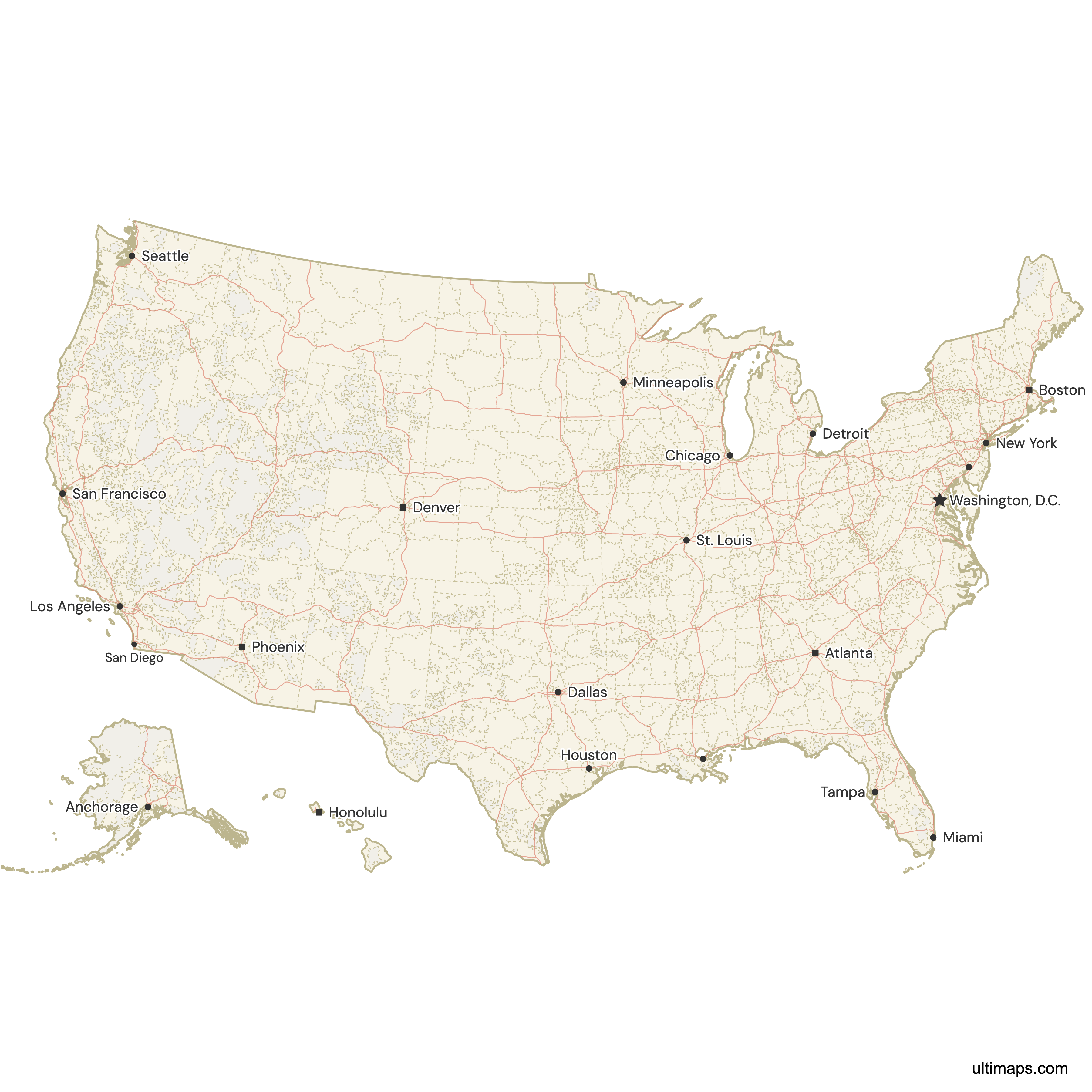
This map supports surrounding areas, roads and cities. New
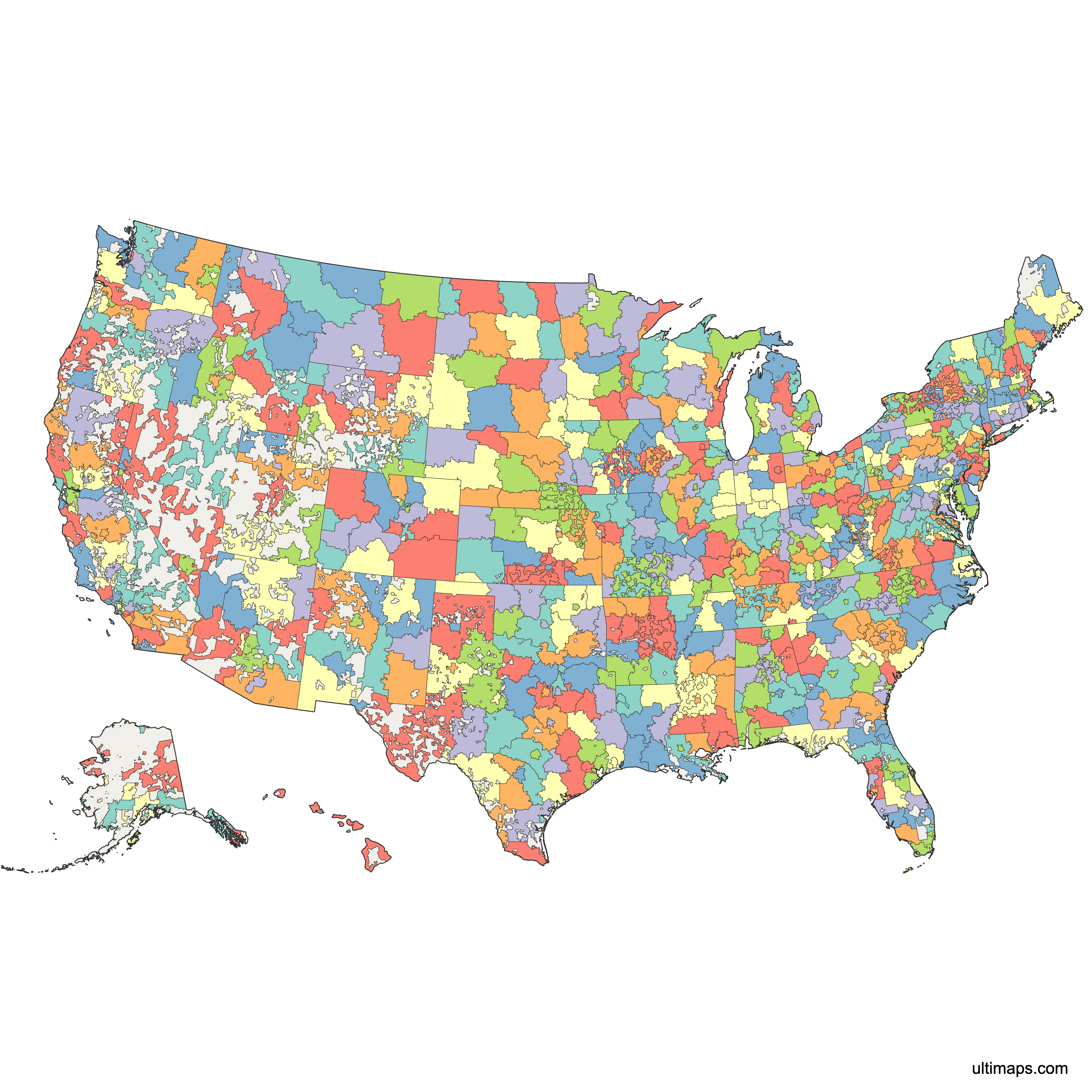
This map is divided into 891 zip code prefixes.
Updates
Aug 27, 2026:
- Added map of US 3-Digit ZIP Codes
- Added support for state boundaries, cities and roads
Frequently Asked Questions
It is the first three digits of a five-digit ZIP code, and it identifies the sectional center facility that processes mail for that region. Every ZIP code starting 770, for example, is sorted through the same Houston-area facility, 96 separate five-digit ZIP areas in that one case. There are 891 three-digit prefixes covering the 50 states and the District of Columbia, against 33,791 five-digit ZIP areas, so each prefix averages 37.9 of them. Because the count is small enough to see at once, the three-digit map is the version people use for territory planning, routing zones and shipping rate tables.
There are 891 three-digit ZIP code prefixes in the 50 states and the District of Columbia, and all 891 are drawn on this map. Each one contains at least one five-digit ZIP area, and together they account for all 33,791 ZIP areas nationally. The distribution is uneven. The busiest prefix, 770 around Houston, holds 96 five-digit areas, while the median prefix holds 37. Note that a few three-digit numbers exist in the postal system without appearing here, because they serve mail that has no drawable territory, such as PO-box-only ranges and overseas military addresses. Sorting the table by ZIP-area count puts 770 at the top and the quietest rural prefixes at the bottom.
California, with 57 prefixes. That is more than any other state, and 11 more than Pennsylvania's 46, despite Pennsylvania having more five-digit ZIP areas overall. New York uses 50 and Texas 49. Ohio and Illinois use 29 each. At the small end, Delaware has 3 prefixes, and Rhode Island and Hawaii have 2 apiece. The count follows mail processing structure rather than land area or population, which is why Texas, more than four times California's size, uses eight fewer prefixes than it does. Sorted by five-digit ZIP areas rather than prefixes, the order changes again: Texas leads with 1,990 and California is fourth with 1,802.
Prefixes run from 010, in western Massachusetts, to 999 in Alaska. The numbering broadly increases from the northeast towards the west, which is why the first digit of any ZIP code gives a rough sense of the region: 0 for New England and the mid-Atlantic seaboard, 3 for the southeast, 6 for the central plains, 9 for the west coast and Alaska. Neighbouring states therefore tend to share adjacent blocks, and a state's ZIP range often extends numerically into its neighbours' territory. Sorting the table on this page by prefix walks the country in roughly that order. All 891 prefixes are drawn here, covering all 33,791 five-digit ZIP areas.
Because a prefix only appears here if at least one five-digit ZIP code beneath it has a drawable area. A ZIP code is a set of delivery stops along carrier routes, not a territory, and prefixes reserved entirely for PO boxes, single-building addresses or overseas military mail have no ground to cover. The Census Bureau creates no ZIP Code Tabulation Area for those, so they are absent from every ZIP map, this one included. Texas, for instance, has two such prefixes inside its own range, and Florida has five. This map also covers the 50 states and DC only, not Puerto Rico or the other territories.
No. The Postal Service does not publish ZIP codes as areas at any level, because it does not maintain them as areas. They are routing paths. The boundaries here are built by merging the Census Bureau's five-digit ZIP Code Tabulation Areas, which are themselves an approximation, grouping census blocks by the ZIP code most of their addresses use. The result is a good working picture of which region a prefix serves and a poor legal one. Use it as a geographic reference, never as a property line, tax district, school zone, voting district, emergency response area or official USPS delivery boundary.
Yes. Open all 891 prefixes in the Ultimaps editor, style them, and export. The free export is a watermarked PNG. SVG, PDF and watermark removal need Pro. Unlike the five-digit state maps, this one genuinely works in print: 891 prefixes across the country, and rarely more than 57 in any one state, label legibly at ordinary page sizes where 33,791 five-digit codes cannot. That is why the three-digit map is the practical choice for a wall chart, a territory handout or a rate table. California's 57 prefixes are the most any single state needs, and Rhode Island and Hawaii get by on two apiece.
Click any prefix on the map to select it, or open the map in the editor to work with all 891 at once. There you can fill prefixes by category (sales regions, distribution zones, shipping bands, service areas) or by value, which shades each prefix on a scale from a number you supply. Data keyed by three-digit prefix matches straight onto the map with no geocoding step. If your data is keyed by five-digit ZIP code instead, use the state maps, where all 33,791 areas are drawn individually. Every one of the 891 prefixes contains at least one five-digit ZIP area, so no prefix on this map is empty.