Map of Wisconsin Counties
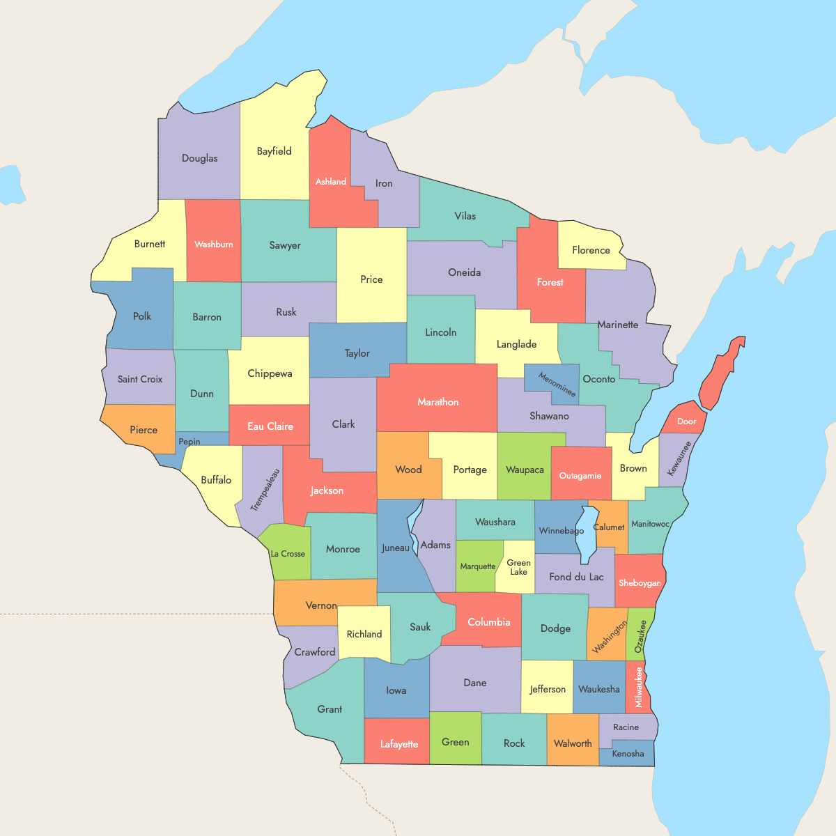
Wisconsin is divided into 72 counties, each serving as an administrative region within the state. Use the interactive maps below to explore counties and their boundaries. Download free maps or learn more about creating a custom map of Wisconsin to visualize your own data.
Interactive Map of Wisconsin Counties
List of Counties (72)
| # | County | County seat | Year founded |
|---|---|---|---|
| 1 | Adams | Friendship | 1848 |
| 2 | Ashland | Ashland | 1860 |
| 3 | Barron | Barron | 1859 |
| 4 | Bayfield | Washburn | 1845 |
| 5 | Brown | Green Bay | 1818 |
| 6 | Buffalo | Alma | 1853 |
| 7 | Burnett | Siren | 1856 |
| 8 | Calumet | Chilton | 1836 |
| 9 | Chippewa | Chippewa Falls | 1845 |
| 10 | Clark | Neillsville | 1853 |
| 11 | Columbia | Portage | 1846 |
| 12 | Crawford | Prairie du Chien | 1818 |
| 13 | Dane | Madison | 1836 |
| 14 | Dodge | Juneau | 1836 |
| 15 | Door | Sturgeon Bay | 1851 |
| 16 | Douglas | Superior | 1854 |
| 17 | Dunn | Menomonie | 1854 |
| 18 | Eau Claire | Eau Claire | 1856 |
| 19 | Florence | Florence | 1882 |
| 20 | Fond du Lac | Fond du Lac | 1836 |
| 21 | Forest | Crandon | 1885 |
| 22 | Grant | Lancaster | 1837 |
| 23 | Green | Monroe | 1837 |
| 24 | Green Lake | Green Lake | 1858 |
| 25 | Iowa | Dodgeville | 1829 |
| 26 | Iron | Hurley | 1893 |
| 27 | Jackson | Black River Falls | 1853 |
| 28 | Jefferson | Jefferson | 1836 |
| 29 | Juneau | Mauston | 1857 |
| 30 | Kenosha | Kenosha | 1850 |
| 31 | Kewaunee | Kewaunee | 1852 |
| 32 | La Crosse | La Crosse | 1851 |
| 33 | Lafayette | Darlington | 1846 |
| 34 | Langlade | Antigo | 1879 |
| 35 | Lincoln | Merrill | 1874 |
| 36 | Manitowoc | Manitowoc | 1836 |
| 37 | Marathon | Wausau | 1850 |
| 38 | Marinette | Marinette | 1879 |
| 39 | Marquette | Montello | 1836 |
| 40 | Menominee | Keshena | 1959 |
| 41 | Milwaukee | Milwaukee | 1834 |
| 42 | Monroe | Sparta | 1854 |
| 43 | Oconto | Oconto | 1851 |
| 44 | Oneida | Rhinelander | 1887 |
| 45 | Outagamie | Appleton | 1851 |
| 46 | Ozaukee | Port Washington | 1853 |
| 47 | Pepin | Durand | 1858 |
| 48 | Pierce | Ellsworth | 1853 |
| 49 | Polk | Balsam Lake | 1853 |
| 50 | Portage | Stevens Point | 1836 |
| 51 | Price | Phillips | 1879 |
| 52 | Racine | Racine | 1836 |
| 53 | Richland | Richland Center | 1842 |
| 54 | Rock | Janesville | 1836 |
| 55 | Rusk | Ladysmith | 1901 |
| 56 | Saint Croix | Hudson | 1840 |
| 57 | Sauk | Baraboo | 1840 |
| 58 | Sawyer | Hayward | 1883 |
| 59 | Shawano | Shawano | 1853 |
| 60 | Sheboygan | Sheboygan | 1836 |
| 61 | Taylor | Medford | 1875 |
| 62 | Trempealeau | Whitehall | 1854 |
| 63 | Vernon | Viroqua | 1851 |
| 64 | Vilas | Eagle River | 1893 |
| 65 | Walworth | Elkhorn | 1836 |
| 66 | Washburn | Shell Lake | 1883 |
| 67 | Washington | West Bend | 1836 |
| 68 | Waukesha | Waukesha | 1846 |
| 69 | Waupaca | Waupaca | 1851 |
| 70 | Waushara | Wautoma | 1851 |
| 71 | Winnebago | Oshkosh | 1840 |
| 72 | Wood | Wisconsin Rapids | 1856 |
Wisconsin Counties: Key Facts
- Total number of counties: 72
- Largest county by land area: Marathon County - 1,576 square miles (4,083 km²)
- Smallest county by area: Pepin County - 249 square miles (645 km²)
- Most populous county: Milwaukee County
- Least populous county: Menominee County
- State capital location: Dane County (Madison)
- Time zone: Central Time Zone (CT)
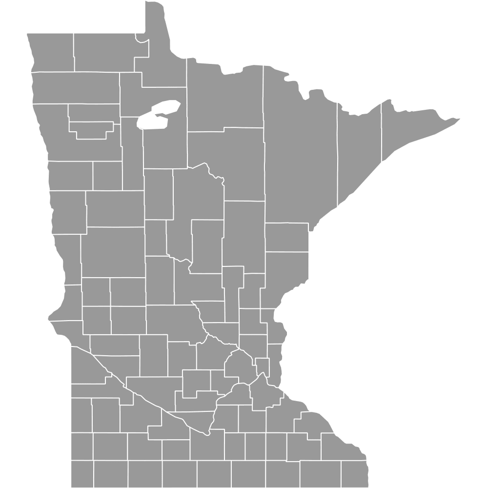
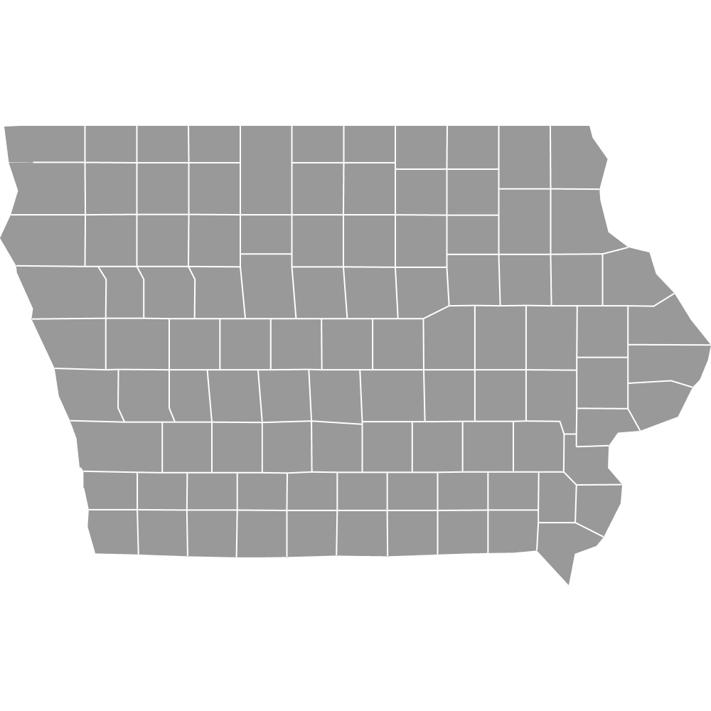
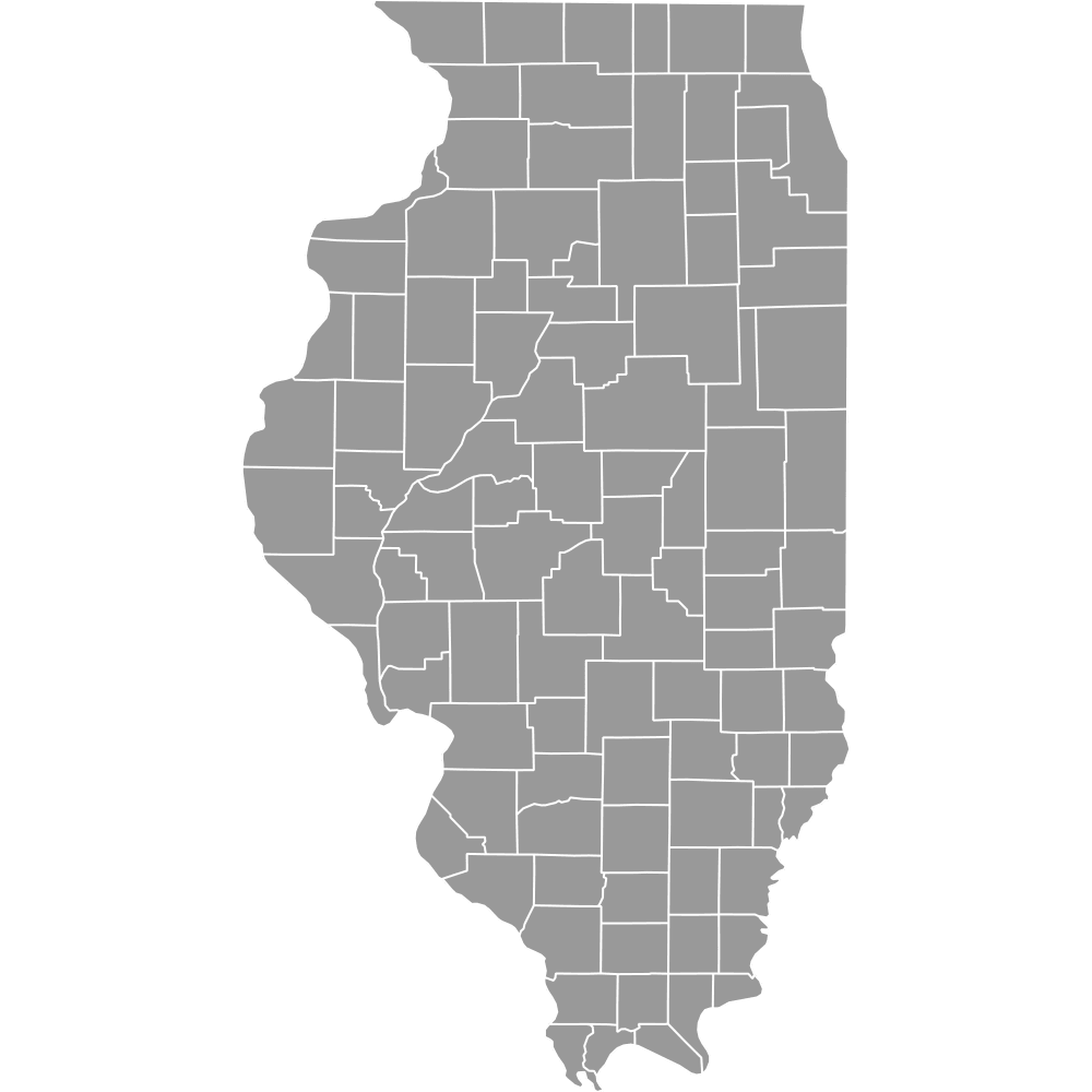
- Bordering states and waters: Minnesota, Iowa, Illinois, Michigan, Lake Superior, and Lake Michigan
Interesting Facts
- Apostle Islands and Chequamegon Bay: Bayfield County includes Apostle Islands, popular for recreation.
- St. Croix River gateway: Pierce and St. Croix Counties frame major river crossings from Minnesota.
Free Downloads
Free for personal and commercial use with a credit to Ultimaps. See the license terms for details.
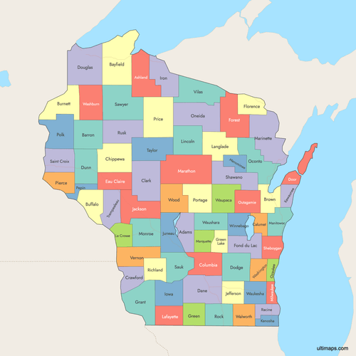 Colored Map of Wisconsin Counties with Surrounding Areaspng713 KB
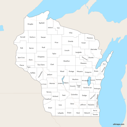 Labeled Map of Wisconsin Counties with Surrounding Areaspng693 KB
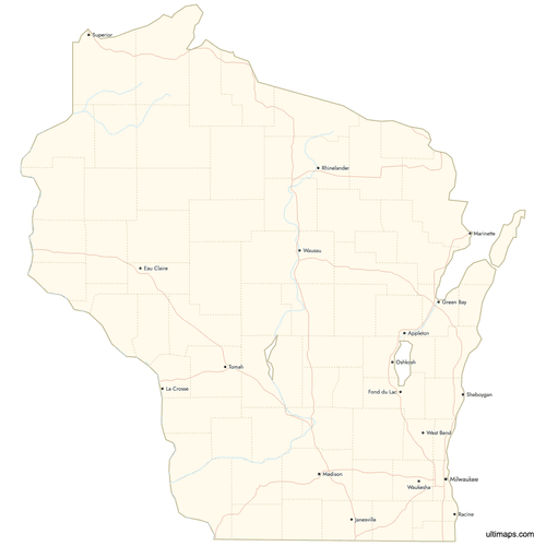 Map of Wisconsin Counties with Citiespng742 KB
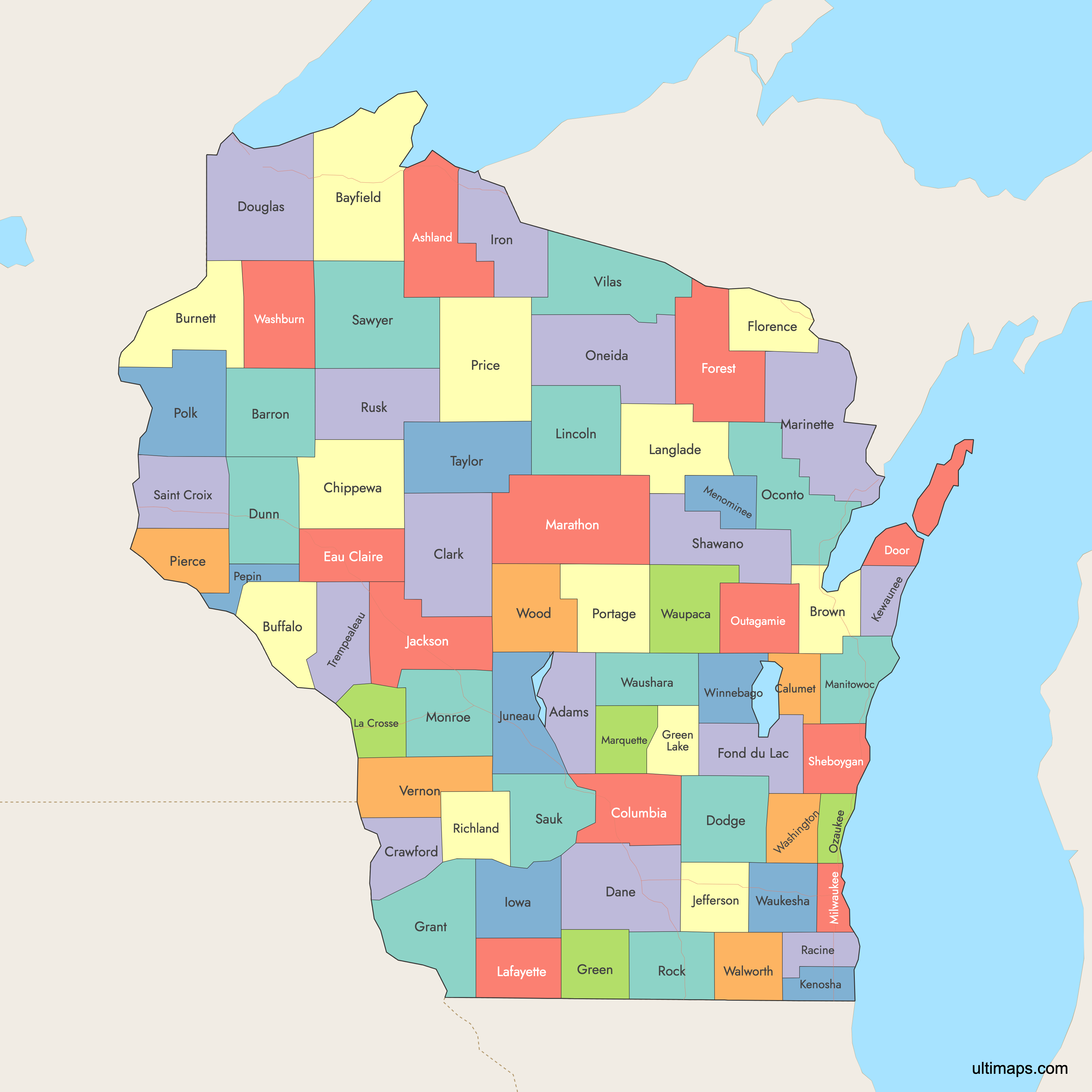
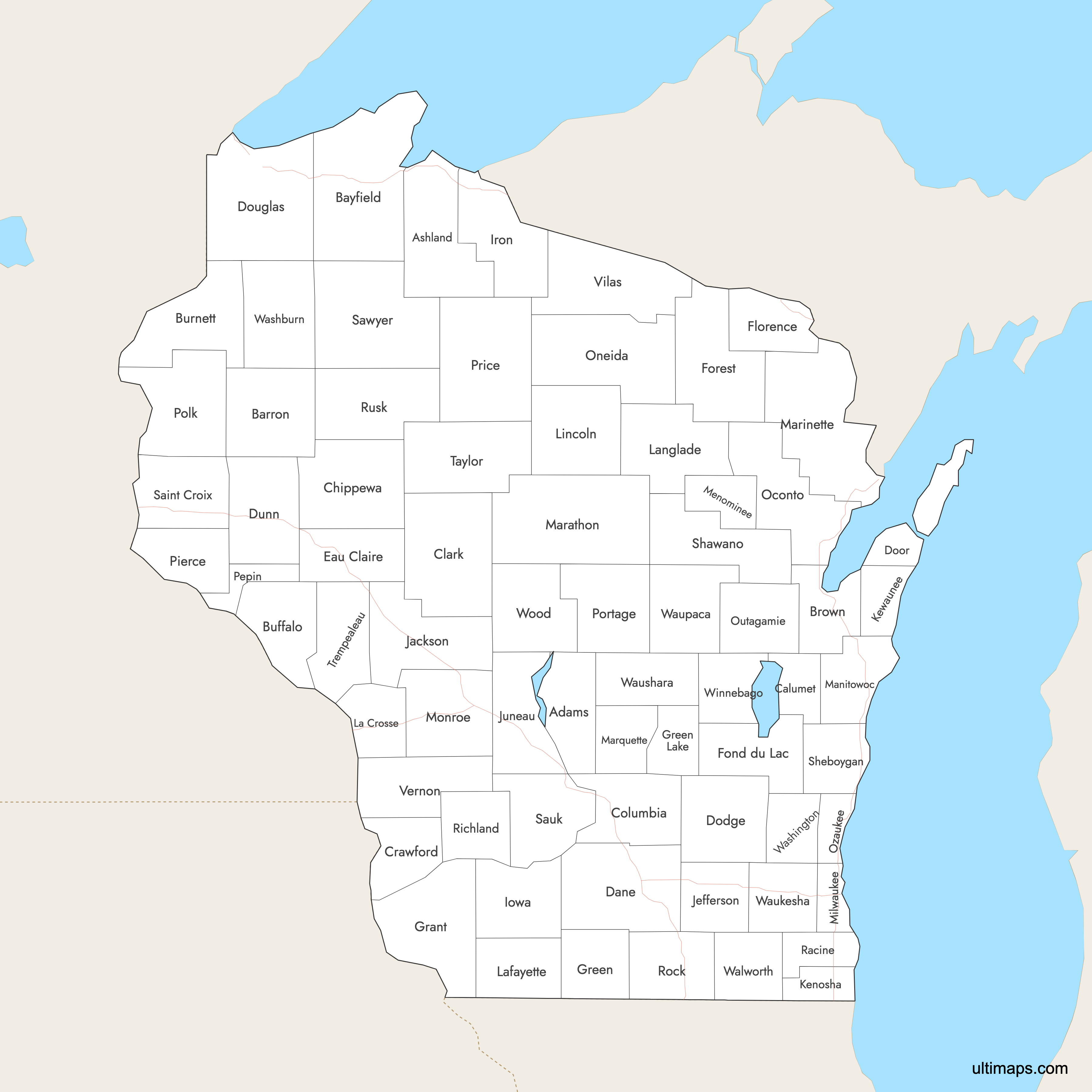
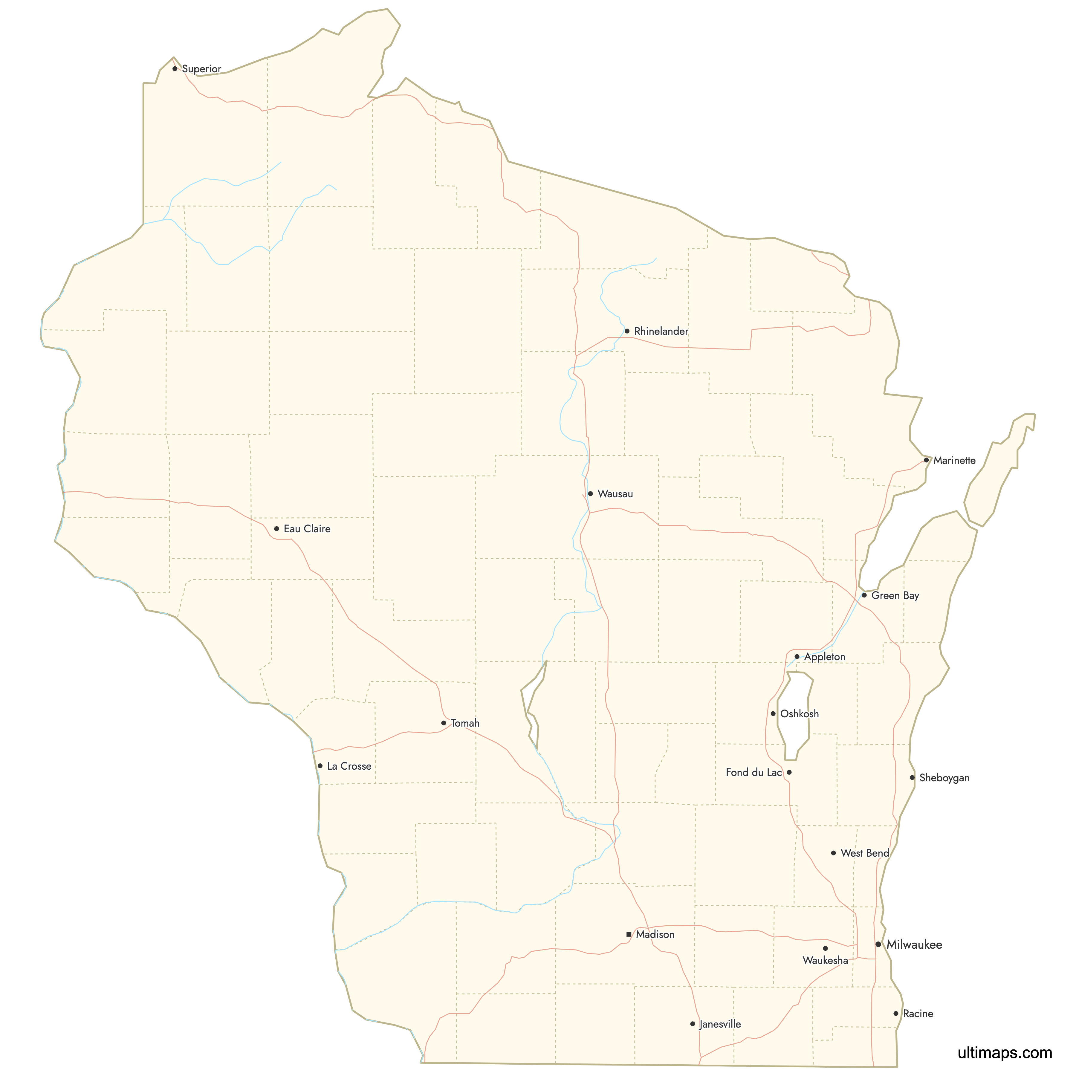
Need it without colors? The blank version of this map comes as a print-ready PDF (A4 and US Letter), a PNG and an editable SVG.
Custom Map Features
This map supports labels.
This map supports surrounding areas, roads, rivers and cities. New
This map is divided into 72 counties.
Updates
Jan 12, 2026:
- Improved map quality
- Added support for surrounding areas and lakes
Aug 26, 2024:
- Added map of Wisconsin Counties
Frequently Asked Questions
Wisconsin has 72 counties.
The largest county by area in Wisconsin is Marathon County, with about 1,576 square miles (approximately 4,083 km²).
The smallest county by area is Pepin County, with around 249 square miles (about 645 km²). Pepin lies along the Mississippi River in western Wisconsin.
Milwaukee County is the most populous county in Wisconsin, with the city of Milwaukee as its county seat.
You can use Ultimaps to create custom maps of Wisconsin. Color-code counties manually or upload data, place pins, customize look and feel and export to PNG, PDF or SVG.