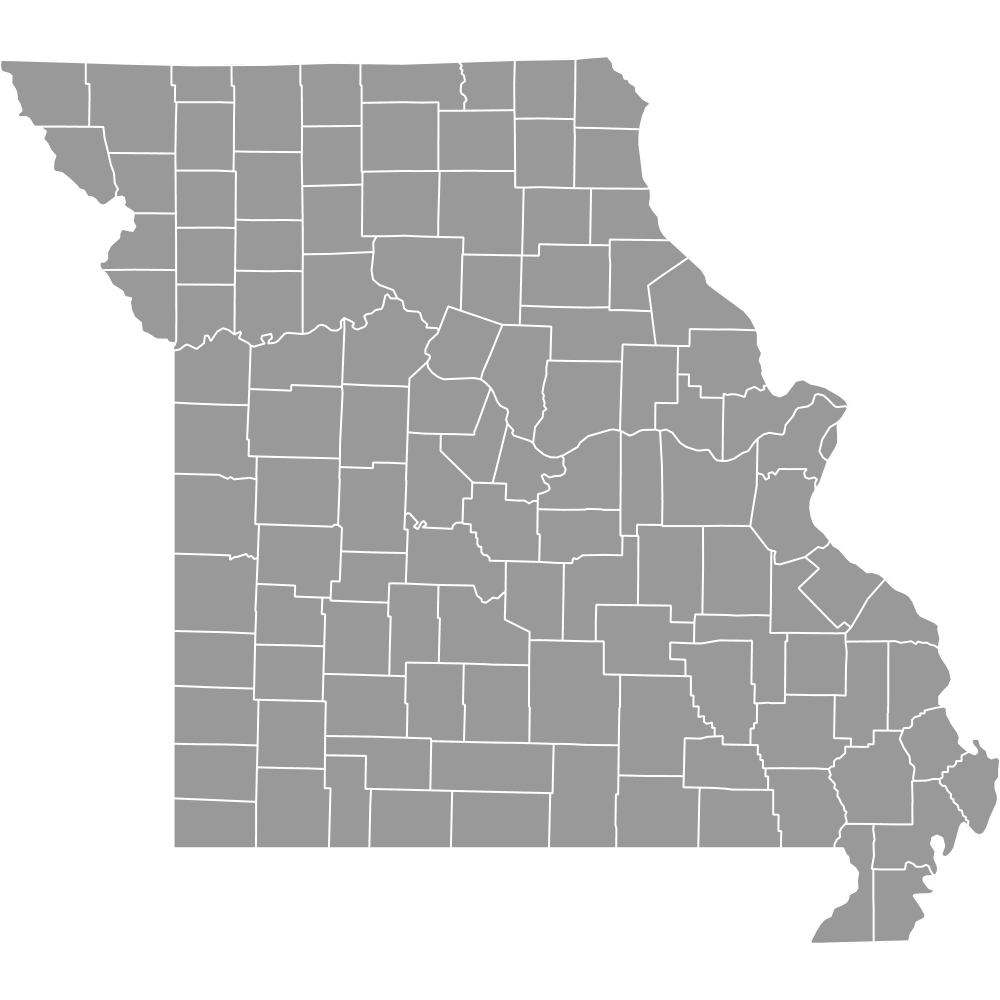
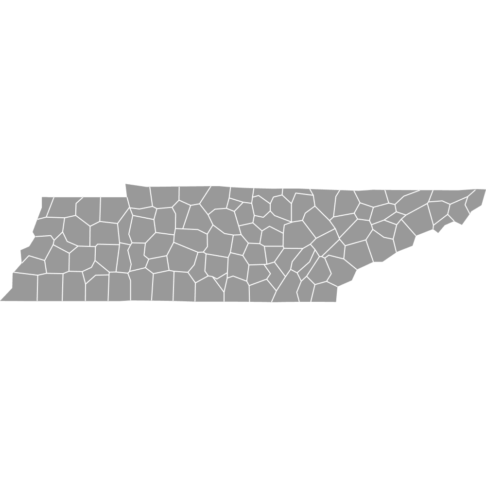
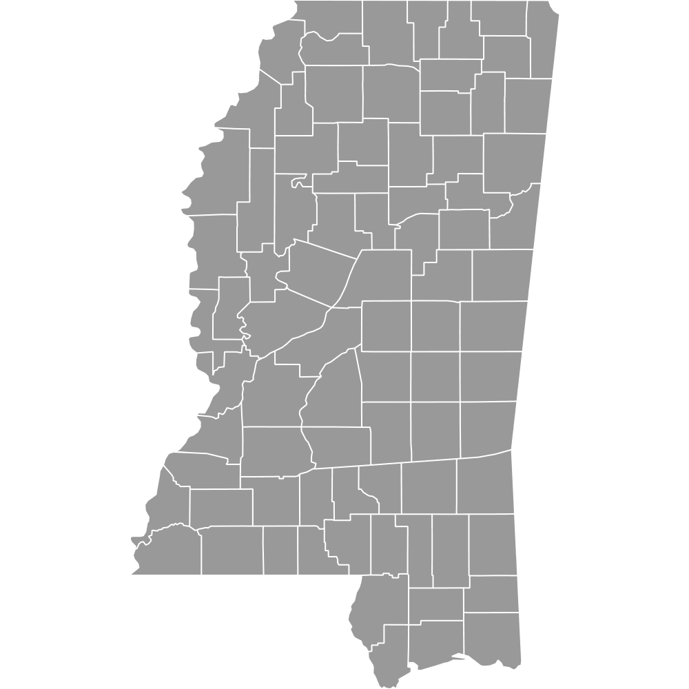
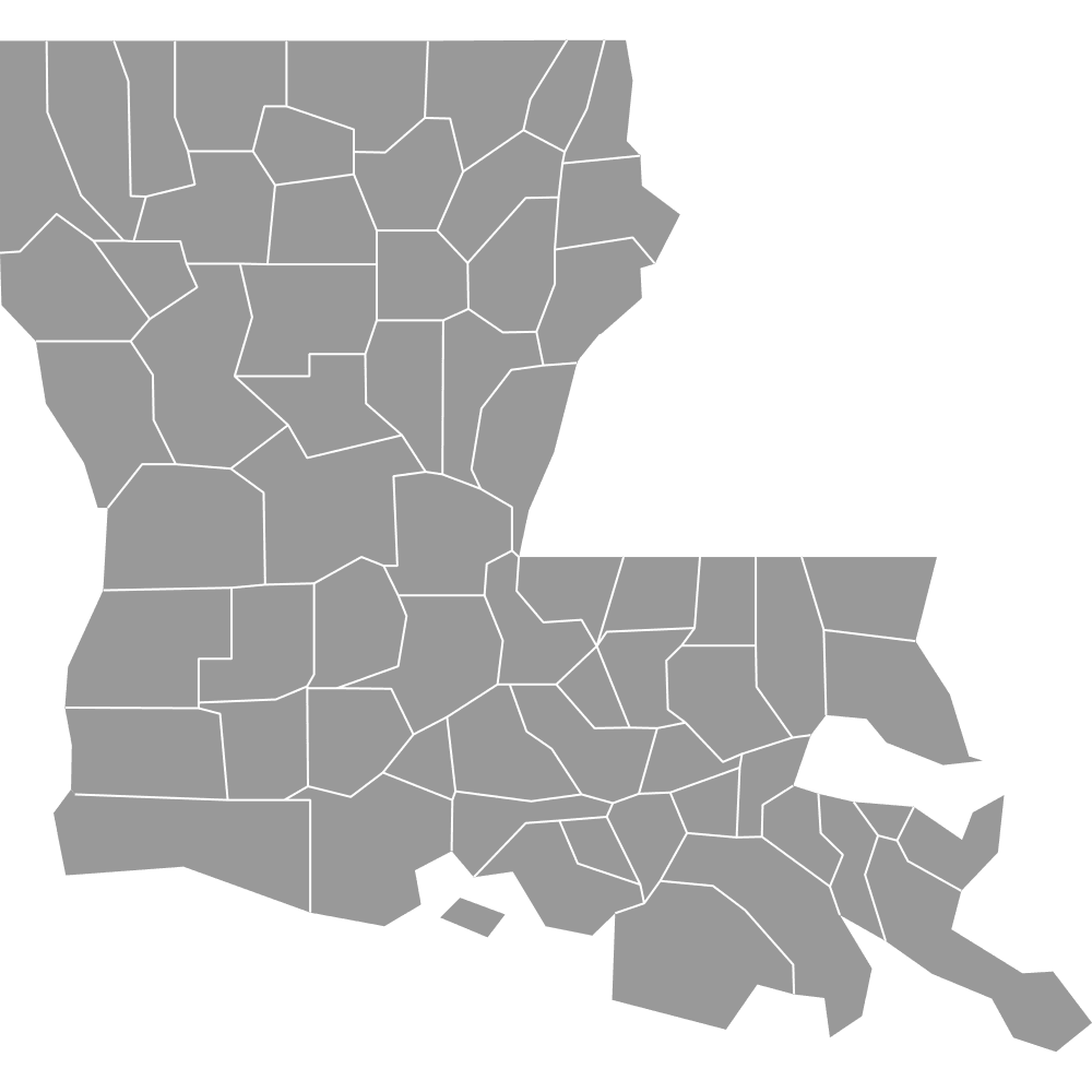
Map of Arkansas Counties
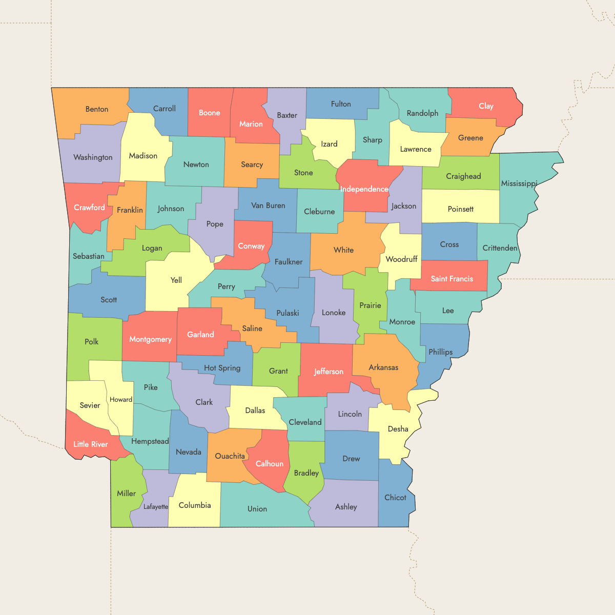
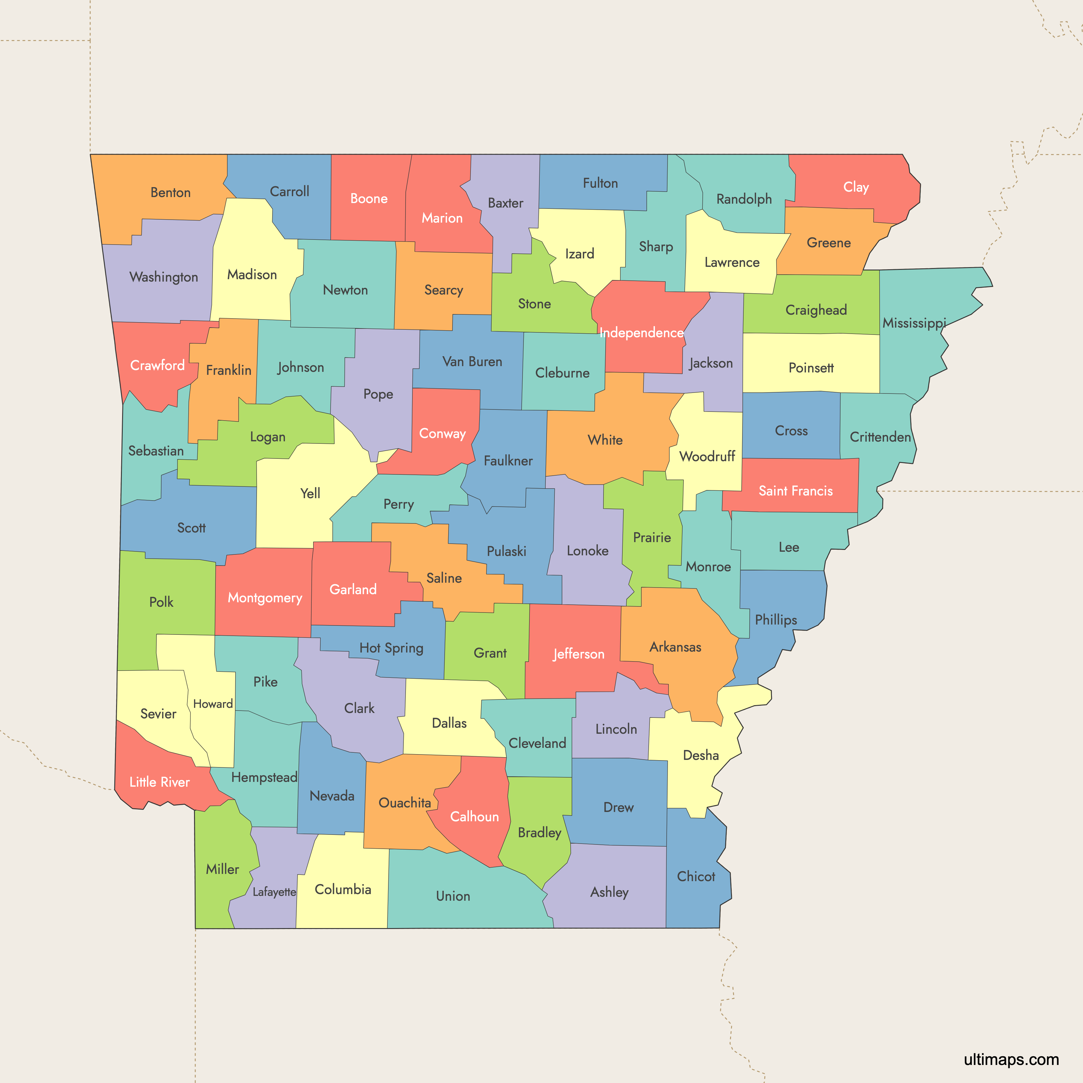
Arkansas is divided into 75 counties, each with its own unique features and administrative roles. Use the interactive maps below to explore counties and their boundaries. Download free maps or learn more about creating a custom map of Arkansas to visualize your own data.
Interactive Map of Arkansas Counties
List of Counties (75)
| # | County | County seat | Year founded |
|---|---|---|---|
| 1 | Arkansas | Stuttgart, DeWitt | 1813 |
| 2 | Ashley | Hamburg | 1848 |
| 3 | Baxter | Mountain Home | 1873 |
| 4 | Benton | Bentonville | 1836 |
| 5 | Boone | Harrison | 1869 |
| 6 | Bradley | Warren | 1840 |
| 7 | Calhoun | Hampton | 1850 |
| 8 | Carroll | Berryville, Eureka Springs | 1833 |
| 9 | Chicot | Lake Village | 1823 |
| 10 | Clark | Arkadelphia | 1818 |
| 11 | Clay | Piggott, Corning | 1873 |
| 12 | Cleburne | Heber Springs | 1883 |
| 13 | Cleveland | Rison | 1873 |
| 14 | Columbia | Magnolia | 1852 |
| 15 | Conway | Morrilton | 1825 |
| 16 | Craighead | Jonesboro, Lake City | 1859 |
| 17 | Crawford | Van Buren | 1820 |
| 18 | Crittenden | Marion | 1825 |
| 19 | Cross | Wynne | 1862 |
| 20 | Dallas | Fordyce | 1845 |
| 21 | Desha | Arkansas City | 1838 |
| 22 | Drew | Monticello | 1846 |
| 23 | Faulkner | Conway | 1873 |
| 24 | Franklin | Ozark, Charleston | 1837 |
| 25 | Fulton | Salem | 1842 |
| 26 | Garland | Hot Springs | 1873 |
| 27 | Grant | Sheridan | 1869 |
| 28 | Greene | Paragould | 1833 |
| 29 | Hempstead | Hope | 1818 |
| 30 | Hot Spring | Malvern | 1829 |
| 31 | Howard | Nashville | 1873 |
| 32 | Independence | Batesville | 1820 |
| 33 | Izard | Melbourne | 1825 |
| 34 | Jackson | Newport | 1829 |
| 35 | Jefferson | Pine Bluff | 1829 |
| 36 | Johnson | Clarksville | 1833 |
| 37 | Lafayette | Lewisville | 1827 |
| 38 | Lawrence | Walnut Ridge | 1815 |
| 39 | Lee | Marianna | 1873 |
| 40 | Lincoln | Star City | 1871 |
| 41 | Little River | Ashdown | 1867 |
| 42 | Logan | Booneville, Paris | 1871 |
| 43 | Lonoke | Lonoke | 1873 |
| 44 | Madison | Huntsville | 1836 |
| 45 | Marion | Yellville | 1835 |
| 46 | Miller | Texarkana | 1874 |
| 47 | Mississippi | Blytheville, Osceola | 1833 |
| 48 | Monroe | Clarendon | 1829 |
| 49 | Montgomery | Mount Ida | 1842 |
| 50 | Nevada | Prescott | 1871 |
| 51 | Newton | Jasper | 1842 |
| 52 | Ouachita | Camden | 1842 |
| 53 | Perry | Perryville | 1840 |
| 54 | Phillips | Helena-West Helena | 1820 |
| 55 | Pike | Murfreesboro | 1833 |
| 56 | Poinsett | Harrisburg | 1838 |
| 57 | Polk | Mena | 1844 |
| 58 | Pope | Russellville | 1829 |
| 59 | Prairie | Des Arc, DeValls Bluff | 1846 |
| 60 | Pulaski | Little Rock | 1818 |
| 61 | Randolph | Pocahontas | 1835 |
| 62 | Saint Francis | Forrest City | 1827 |
| 63 | Saline | Benton | 1835 |
| 64 | Scott | Waldron | 1833 |
| 65 | Searcy | Marshall | 1838 |
| 66 | Sebastian | Fort Smith, Greenwood | 1851 |
| 67 | Sevier | De Queen | 1828 |
| 68 | Sharp | Ash Flat | 1868 |
| 69 | Stone | Mountain View | 1873 |
| 70 | Union | El Dorado | 1829 |
| 71 | Van Buren | Clinton | 1833 |
| 72 | Washington | Fayetteville | 1828 |
| 73 | White | Searcy | 1835 |
| 74 | Woodruff | Augusta | 1862 |
| 75 | Yell | Dardanelle, Danville | 1840 |
Arkansas Counties: Key Facts
- Total number of counties: 75
- Most populous county: Pulaski County with approximately 400,000 residents
- Least populous county: Calhoun County with approximately 5,000 residents
- Largest county by land area: Calhoun County - 628 square miles (1,627 km²)
- Counties with significant urban centers: Pulaski (Little Rock), Craighead (Jonesboro), Benton (Bentonville), Saline, Washington (Fayetteville), Sebastian (Fort Smith), Jefferson (Pine Bluff)
- State capital location: Pulaski County (Little Rock)
- Neighboring states: Missouri, Tennessee, Mississippi, Louisiana, Texas, Oklahoma
- Time zones: Entirely in the Central Time Zone
Interesting Facts
- Arkansas has 10 counties with dual county seats, such as Carroll County with Berryville and Eureka Springs.
- The state features diverse geography from the Mississippi Delta to the Ozark and Ouachita Mountains.
- Miller County shares the city of Texarkana with Texas.
Free Downloads
Free for personal and commercial use with a credit to Ultimaps. See the license terms for details.
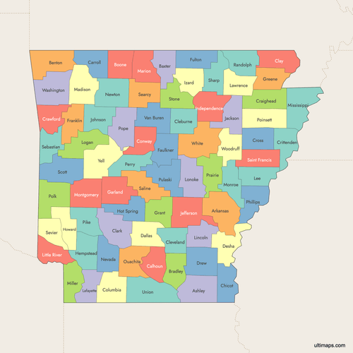 Colored Map of Arkansas Counties with Surrounding Areaspng753 KB
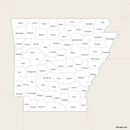 Labeled Map of Arkansas Counties with Surrounding Areaspng719 KB
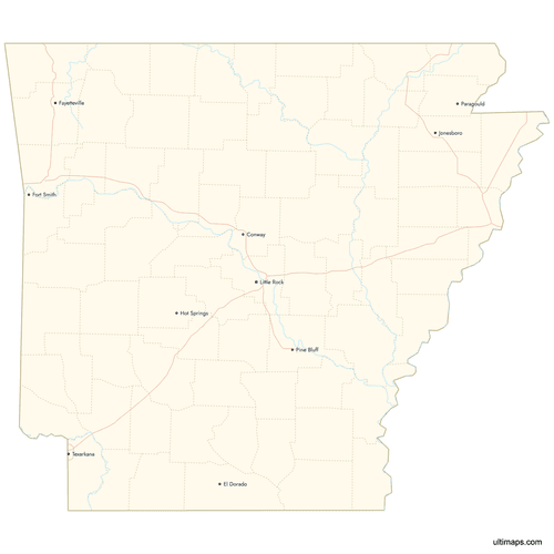 Map of Arkansas Counties with Citiespng761 KB
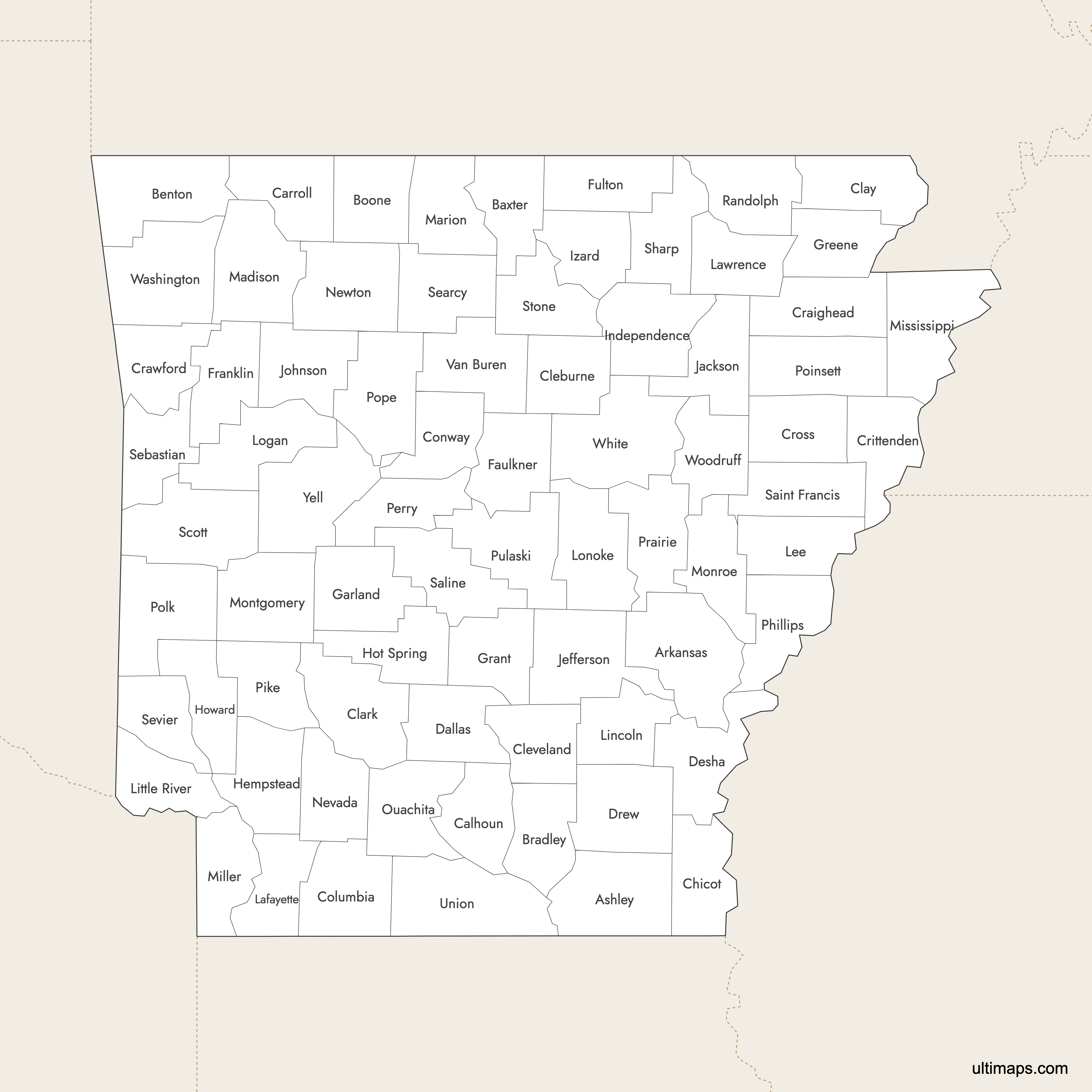
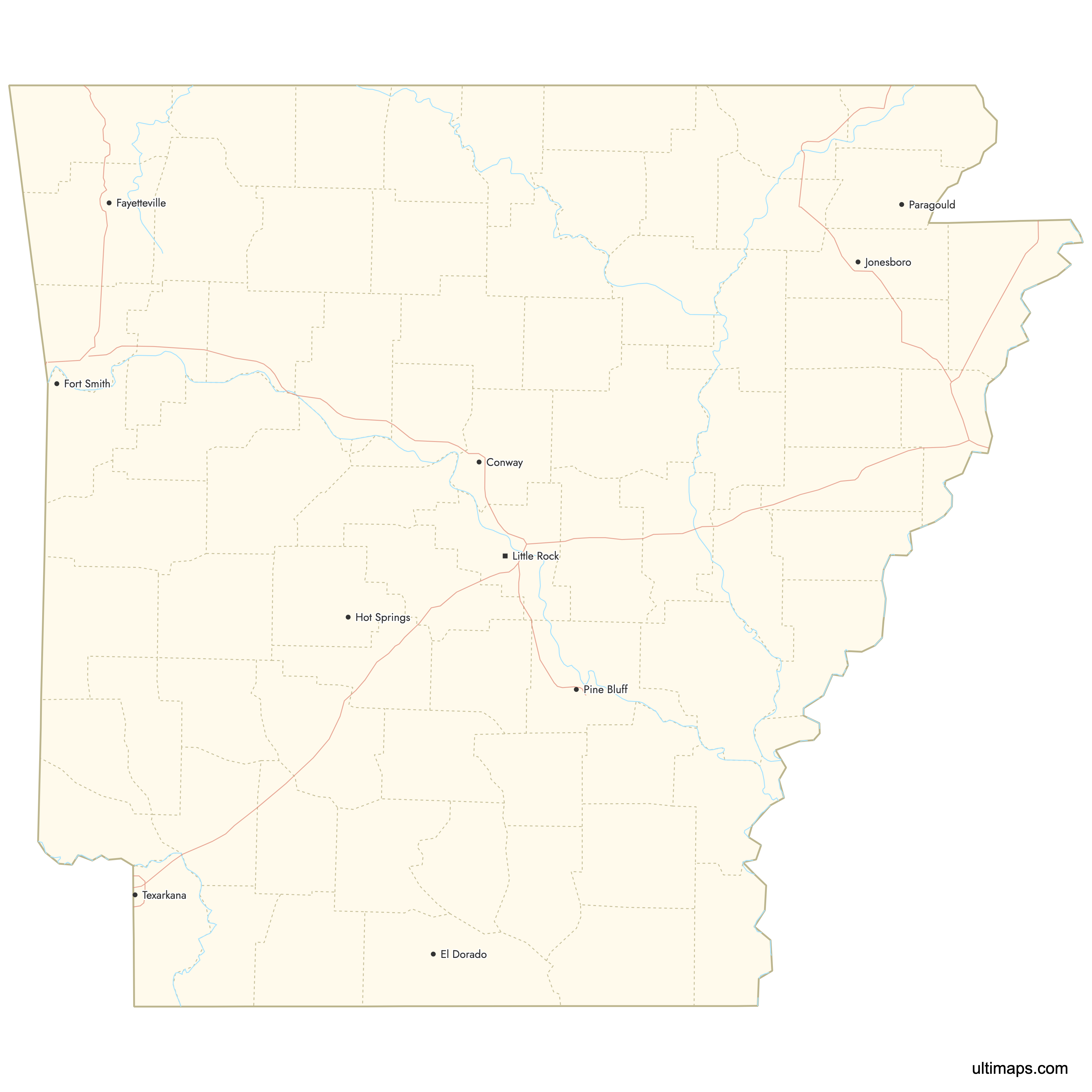
Need it without colors? The blank version of this map comes as a print-ready PDF (A4 and US Letter), a PNG and an editable SVG.
Custom Map Features
This map supports labels.
This map supports surrounding areas, roads, rivers and cities. New
This map is divided into 75 counties.
Updates
Feb 2, 2026:
- Improved map quality
- Added support for surrounding areas and lakes
Aug 26, 2024:
- Added map of Arkansas Counties
Frequently Asked Questions
Arkansas has exactly 75 counties.
Pulaski County is the most populous with approximately 400,000 residents, followed by Saline, Craighead, and Benton counties.
Ten counties, including Arkansas, Carroll, Franklin, and Miller, have dual county seats.
County formations span from 1813 with Arkansas County to 1873 with Clay and Cleveland counties.
You can use Ultimaps to create custom maps of Arkansas. Color-code counties manually or upload data, place pins, customize the look and feel, and export to PNG, PDF, or SVG.