Map of Caribbean Countries
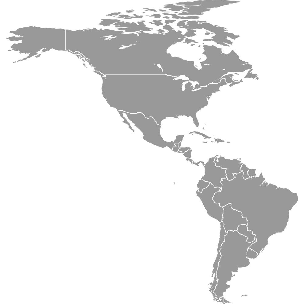
The Caribbean is a region of 16 sovereign countries spanning island nations and mainland states along the Caribbean Sea. From Cuba, the largest island country at about 42,426 sq mi, to Saint Kitts and Nevis, the smallest at roughly 104 sq mi, the region is home to over 40 million people. Use the interactive maps below to explore each country in detail. Download free reference maps or learn more about creating a custom map to visualize your data.
Interactive Map of Caribbean Countries
List of Countries (25)
| # | Country |
|---|---|
| 1 | |
| 2 | |
| 3 | |
| 4 | |
| 5 | |
| 6 | |
| 7 | |
| 8 | |
| 9 | |
| 10 | |
| 11 | |
| 12 | |
| 13 | |
| 14 | |
| 15 | |
| 16 | |
| 17 | |
| 18 | |
| 19 | |
| 20 | |
| 21 | |
| 22 | |
| 23 | |
| 24 | |
| 25 |
About the Caribbean
- Total countries: 16 sovereign nations (13 island countries plus 3 mainland Caribbean states: Belize, Guyana, and Suriname)
- Most populous country: Cuba, around 11 million people (2020s), followed closely by Haiti and the Dominican Republic at roughly 10.5 to 11 million each
- Least populous country: Saint Kitts and Nevis, approximately 50,000 to 55,000 residents (2020s)
- Largest country by area: Cuba, about 42,426 sq mi (109,884 km²)
- Smallest country by area: Saint Kitts and Nevis, about 104 sq mi (269 km²)
- Largest mainland Caribbean country by area: Guyana, about 83,000 sq mi (214,969 km²)
- Bordering bodies of water: Caribbean Sea, Atlantic Ocean, Gulf of Mexico
- Neighboring regions and countries: United States (Florida) to the northwest, Mexico (Yucatan Peninsula) to the west, Central America (Guatemala) to the southwest, and South America (Venezuela, Brazil, French Guiana) to the south and east
- Time zones: Most island nations use UTC−4 (Atlantic Standard Time); the Bahamas, Jamaica, Haiti, and Cuba use UTC−5; Belize uses UTC−6; Suriname uses UTC−3
- Key independence dates: Haiti (1804), Cuba (early 1900s), Jamaica and Trinidad and Tobago (1962), Barbados (1966), Bahamas (1973), Grenada (1974), Suriname (1975), Dominica (1978), Saint Lucia and Saint Vincent and the Grenadines (1979), Antigua and Barbuda and Belize (1981), Saint Kitts and Nevis (1983)
Interesting Facts
- Cuba is the largest island in the Caribbean by both area and population, with Havana's Old Town recognized as a UNESCO World Heritage Site.
- Saint Kitts and Nevis is the smallest sovereign state in the Western Hemisphere by both area and population, and its Brimstone Hill Fortress is a UNESCO World Heritage Site.
- Haiti, independent since 1804, was the first independent Black republic in the world. The Citadelle Laferriere fortress in northern Haiti is one of the largest fortifications in the Americas.
- Trinidad and Tobago is the birthplace of steelpan music, calypso, and modern Carnival traditions, and it is also a major oil and gas producer in the region.
- The Dominican Republic is home to Santo Domingo, the site of the first permanent European settlement in the Americas, and Pico Duarte, the highest peak in the Caribbean.
Free Downloads

You can download free blank Map of Caribbean Countries and other maps in high resolution PNG, SVG and PDF formats from the blank maps section of the site: Download Blank Map of Caribbean Countries
Custom Map Features
This map is divided into 25 countries.
Updates
Oct 24, 2024:
- Added map of Caribbean countries
Frequently Asked Questions
The Caribbean has 16 sovereign countries. Thirteen are island nations: Antigua and Barbuda, Bahamas, Barbados, Cuba, Dominica, Dominican Republic, Grenada, Haiti, Jamaica, Saint Kitts and Nevis, Saint Lucia, Saint Vincent and the Grenadines, and Trinidad and Tobago. Three mainland states along the Caribbean Sea are also included: Belize, Guyana, and Suriname.
Cuba is the largest Caribbean island country at about 42,426 sq mi (109,884 km²). Among all Caribbean countries including mainland states, Guyana is the largest at roughly 83,000 sq mi (214,969 km²). Cuba's main island, along with Isla de la Juventud and numerous cays, makes it by far the dominant landmass among the island nations.
Saint Kitts and Nevis is the smallest sovereign Caribbean country at about 104 sq mi (269 km²). It is also the smallest sovereign state in the entire Western Hemisphere by both area and population. The country consists of two main islands, with the capital Basseterre located on Saint Kitts.
Cuba is the most populous Caribbean country with around 11 million people as of the 2020s. Its capital, Havana, is the largest city in the Caribbean. Haiti and the Dominican Republic follow closely, each with populations of roughly 10.5 to 11 million.
The Pitons in Saint Lucia, twin volcanic spires recognized as a UNESCO World Heritage Site, are among the most iconic natural landmarks. Belize is home to the Great Blue Hole, a world-famous marine sinkhole on the barrier reef. In Guyana, Kaieteur Falls is one of the most powerful waterfalls in the world by volume. The Colonial Zone of Santo Domingo in the Dominican Republic is the site of the oldest European cathedral in the Americas.
The Caribbean Sea is the central body of water, with the Atlantic Ocean to the east and the Gulf of Mexico to the northwest. The United States (Florida) lies to the northwest, Mexico's Yucatan Peninsula to the west, Guatemala borders Belize to the southwest, and Venezuela, Brazil, and French Guiana border the mainland Caribbean states of Guyana and Suriname to the south and east.
You can use Ultimaps to create custom maps of the Caribbean. Color-code countries manually or upload your data, place pins, customize the look, and export to PNG, PDF, or SVG. No sign-up required.