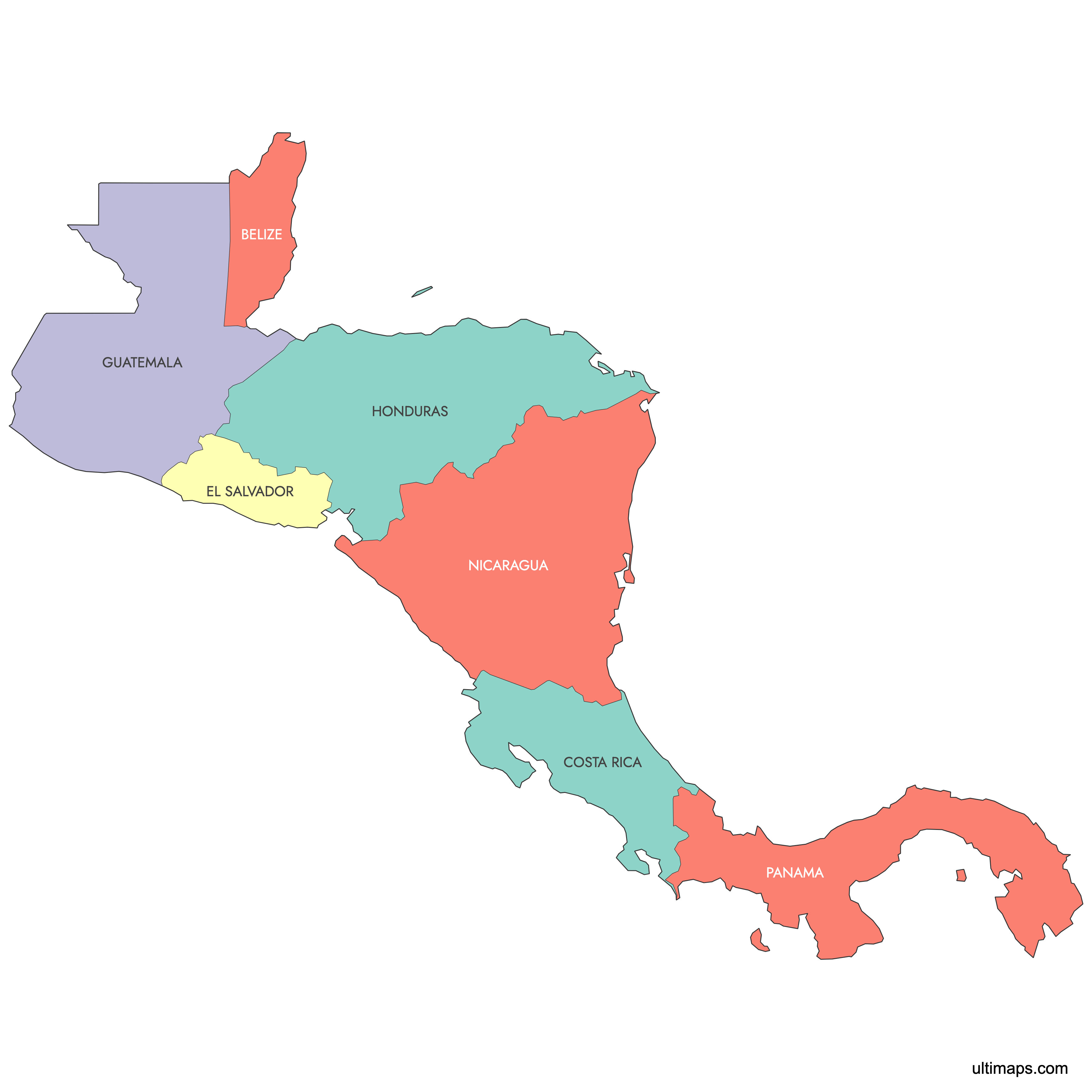
Map of Central America
Central America is a narrow isthmus connecting North and South America, made up of 7 countries: Belize, Guatemala, El Salvador, Honduras, Nicaragua, Costa Rica, and Panama. Use the interactive maps below to explore country boundaries and capital cities. Download free maps or learn more about creating a custom map of Central America to visualize your own data.
Interactive Map of Central America
List of Regions (7)
| # | Region |
|---|---|
| 1 | |
| 2 | |
| 3 | |
| 4 | |
| 5 | |
| 6 | |
| 7 |
About Central America
- Number of Countries: 7 (Belize, Guatemala, El Salvador, Honduras, Nicaragua, Costa Rica, Panama).
- Total Area: approximately 523,780 km² (202,230 sq mi).
- Total Population: approximately 52,176,283 (2022 estimate).
- Most Populous Country: Guatemala, with an estimated population of over 17 million. Its capital, Guatemala City, is the largest urban center in the region.
- Least Populous Country: Belize, with an estimated population of around 440,000. Its capital is Belmopan.
- Largest Country by Area: Nicaragua, at approximately 130,373 km² (50,337 sq mi).
- Smallest Country by Area: El Salvador, at approximately 21,041 km² (8,124 sq mi). It is also the most densely populated country in the Americas, with roughly 6.5 million people.
- Capitals: Belmopan (Belize), Guatemala City (Guatemala), San Salvador (El Salvador), Tegucigalpa (Honduras), Managua (Nicaragua), San José (Costa Rica), Panama City (Panama).
- Neighboring Countries: Mexico to the north, Colombia to the southeast.
- Bordering Bodies of Water: Caribbean Sea (Atlantic Ocean) to the east, Pacific Ocean to the west and southwest.
- Time Zones: UTC−6 to UTC−5. Most countries observe UTC−6, while Panama uses UTC−5.
- Modern Boundaries: Central America's seven sovereign states emerged gradually during the 19th century following independence from Spain and the breakup of the Federal Republic of Central America. The current composition of seven countries is the standard definition used by the United Nations and modern geographic references.
Interesting Facts
- Belize is the only country in Central America where English is the sole official language. The other six countries are Spanish-speaking.
- A popular mnemonic for remembering the countries from north to south is "Big Gorillas Eat Hotdogs, Not Cold Pizza" (Belize, Guatemala, El Salvador, Honduras, Nicaragua, Costa Rica, Panama).
- The seven countries are sometimes called the "seven sister nations" because of their closely intertwined cultural and colonial histories.
- Some geographers extend the definition of Central America northward to the Isthmus of Tehuantepec in Mexico, though the standard political definition includes only the seven countries listed above.
- Central America covers just over half a million square kilometers yet contains extraordinary biodiversity, ranging from Caribbean coral reefs to volcanic highlands and tropical rainforests along the Pacific coast.
Free Downloads
You can download free blank Map of Central America and other maps in high resolution PNG, SVG and PDF formats from the blank maps section of the site: Download Blank Map of Central America
Custom Map Features
This map supports labels.
This map is divided into 7 regions.
Updates
Mar 11, 2025:
- Added map of Central America and its labeled version
Frequently Asked Questions
Central America consists of 7 countries: Belize, Guatemala, El Salvador, Honduras, Nicaragua, Costa Rica, and Panama. Together they cover approximately 523,780 km² (202,230 sq mi) and are home to roughly 52 million people as of 2022.
Nicaragua is the largest country in Central America, covering approximately 130,373 km² (50,337 sq mi). Its capital, Managua, sits on the southern shore of Lake Managua. The country accounts for about a quarter of Central America's total land area.
El Salvador is the smallest country in Central America at approximately 21,041 km² (8,124 sq mi). Despite its small size, it has a population of roughly 6.5 million, making it the most densely populated country in the Americas. Its capital is San Salvador.
Guatemala is the most populous country in Central America, with an estimated population exceeding 17 million. Its capital, Guatemala City (officially Nueva Guatemala de la Asunción), is the largest metropolitan area in the region and serves as the country's political and economic center.
The Panama Canal in Panama is one of the most significant engineering landmarks in the world, connecting the Atlantic and Pacific oceans. Tikal, an ancient Maya city in northern Guatemala, is a UNESCO World Heritage Site. Copán in western Honduras is another major Maya archaeological site, and Arenal Volcano in Costa Rica is one of the region's most visited natural landmarks.
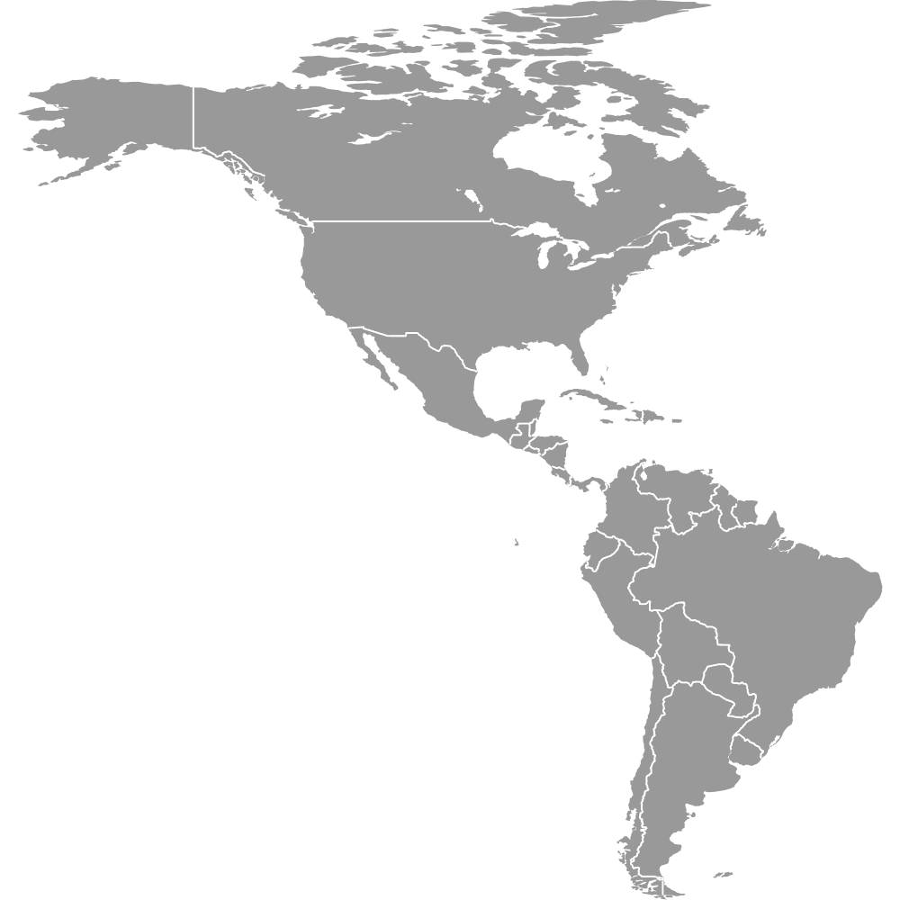
Central America is bordered by Mexico to the north and Colombia to the southeast. The Caribbean Sea (part of the Atlantic Ocean) lies to the east, and the Pacific Ocean borders the region to the west and southwest. The isthmus forms a natural land bridge between North and South America.
You can use Ultimaps to create custom maps of Central America. Color-code regions manually or upload your data, place pins, customize the look, and export to PNG, PDF, or SVG. No sign-up required.