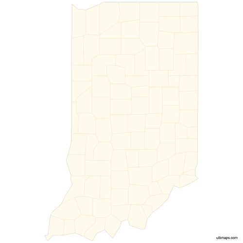
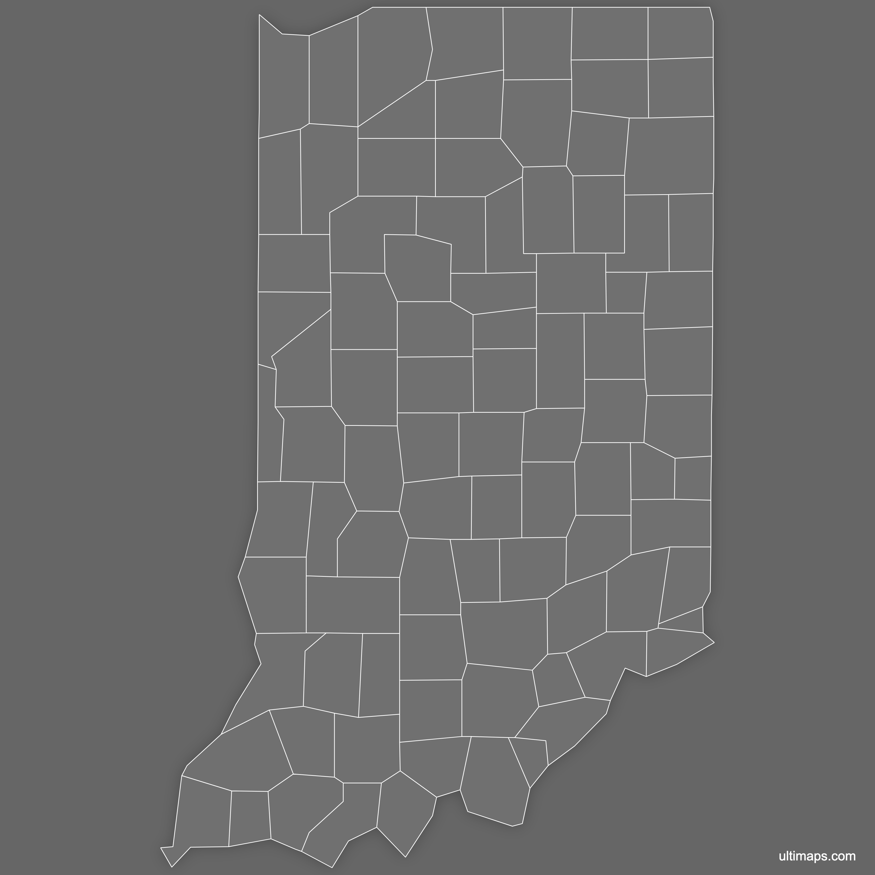
Blank Map of Indiana Counties
Download free blank Map of Indiana Counties in high-resolution PNG, PDF and SVG formats. Available in blank, outline, and labeled versions - perfect for printing, coloring, presentations, and educational projects. All maps are editable in graphics software and can be customized further in Ultimaps Studio.
Maps are free to use in personal and commercial projects. See details in License & Usage section.
Available Formats
| Format | Specifications | Best For |
|---|---|---|
| PNG | 3600x3600px, transparent background (where applicable) | Printing, presentations, quick use |
| SVG | Vector format, infinitely scalable, editable paths | Scaling, editing, professional design |
| Print-ready, A4 and US Letter sizes | Printing, documents, educational materials |
How to Use These Maps
Downloads
Download blank Map of Indiana Counties in the style and format that fits your project. Each map is available in high-resolution PNG, editable SVG, and print-ready PDF in both A4 and US Letter sizes.
 Blank Map of Indiana Countiespng339 KB
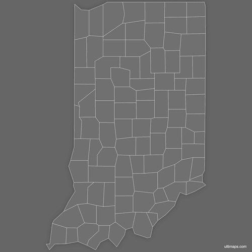 Blank Map of Indiana Counties (Dark)png360 KB
 Blank Map of Indiana Counties (Letter)pdf18 KB
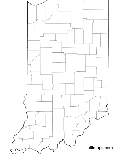 Blank Map of Indiana Counties (A4)pdf18 KB

Outline Map of Indiana Counties
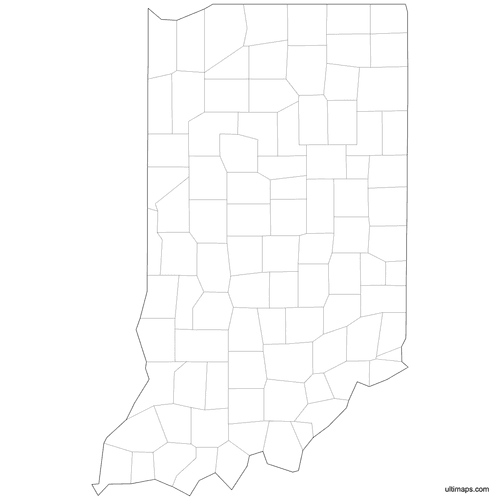 Outlined Map of Indiana Countiespng334 KB
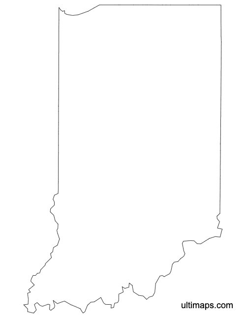 Outline Map of Indiana Counties (Letter)pdf14 KB
 Outline Map of Indiana Counties (A4)pdf14 KB
Labeled Map of Indiana Counties
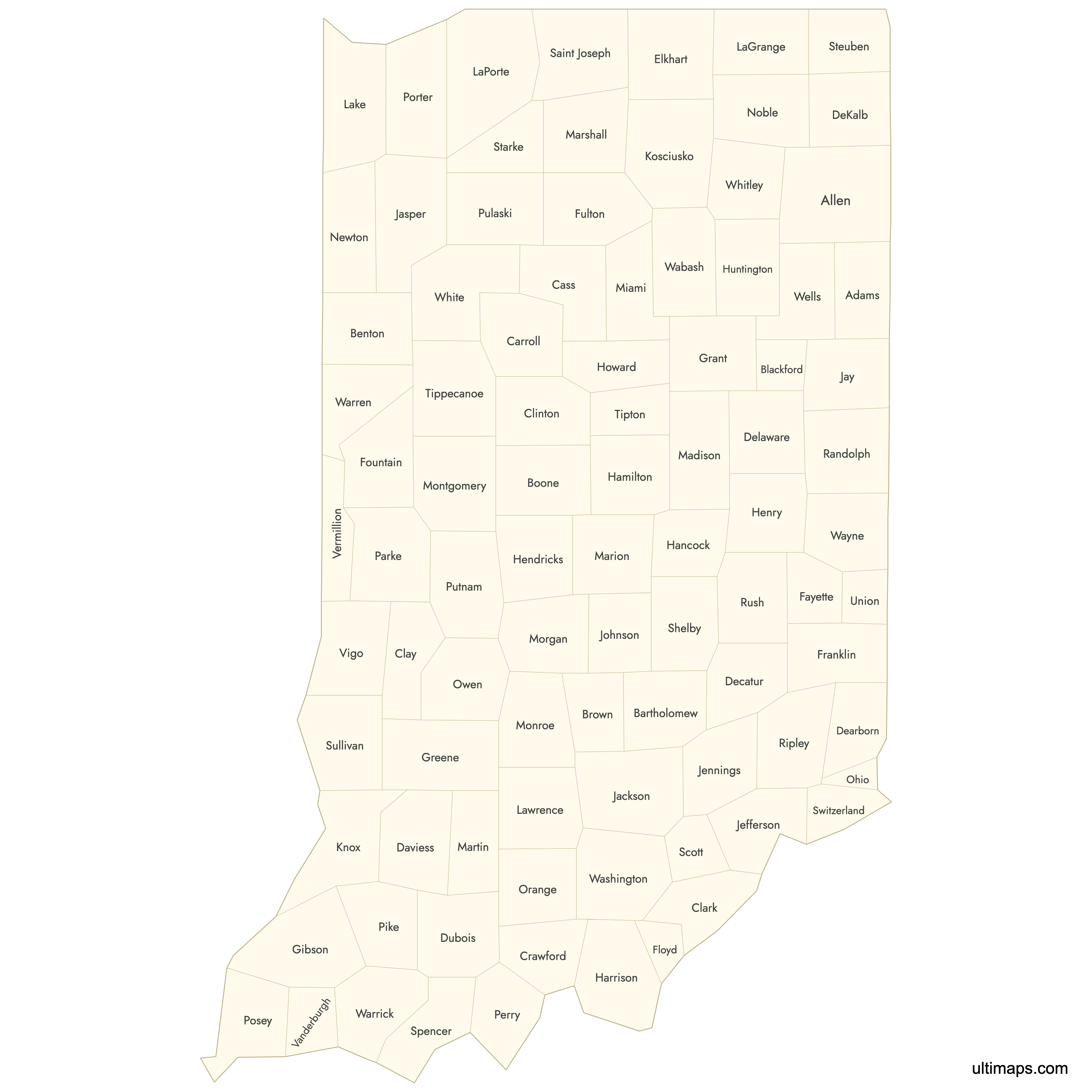
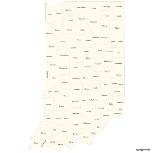 Labeled Map of Indiana Countiespng643 KB
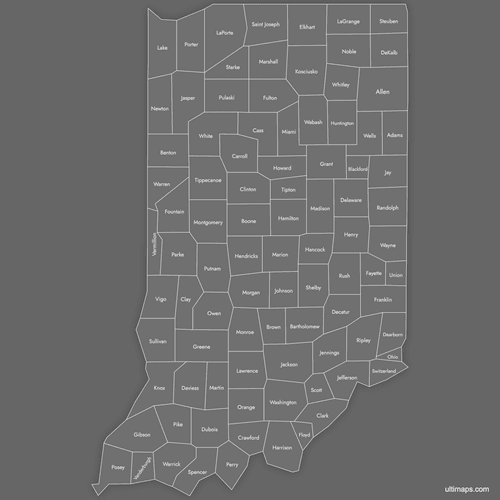 Labeled Map of Indiana Counties (Dark)png632 KB
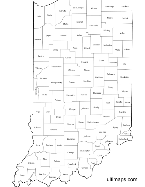 Labeled Map of Indiana Counties (Letter)pdf25 KB
 Labeled Map of Indiana Counties (A4)pdf25 KB

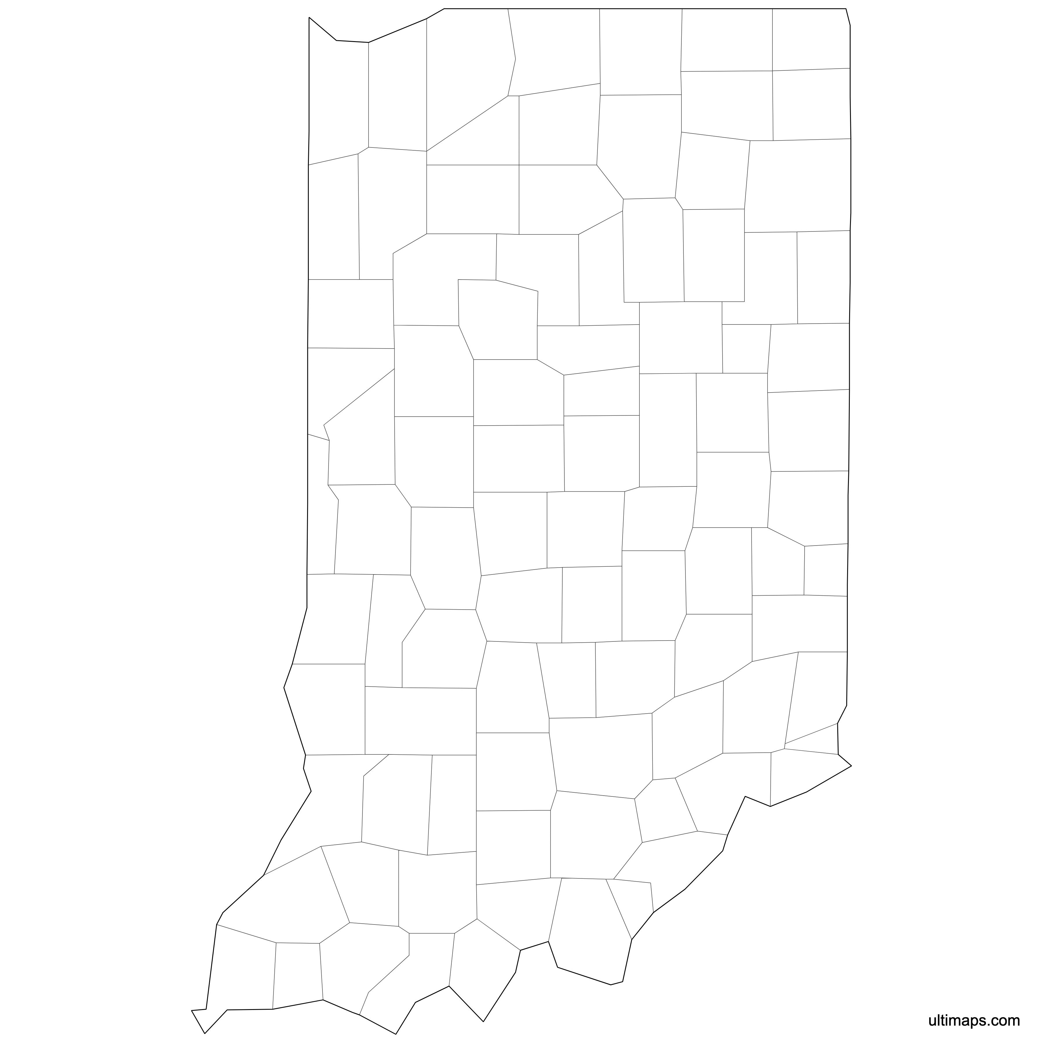
Vector Map of Indiana Counties

License & Usage Terms
TLDR: These maps are free to use in personal and commercial projects with attribution. Redistributing and reselling are not allowed.
Free to use for:
- ✓Personal projects
- ✓Commercial projects
- ✓Educational materials
- ✓Publications and presentations
- ✓Websites and digital media
- ✓Printed materials
Not allowed:
- ✗Reselling or redistributing the map files themselves
- ✗Offering these maps as downloads on other websites
Requirements:
Our maps include a small attribution mark in the file. If you remove it, please credit “Ultimaps.com” or link to ultimaps.com
Related Maps
Explore more free blank maps available for download, or browse all blank North America maps.