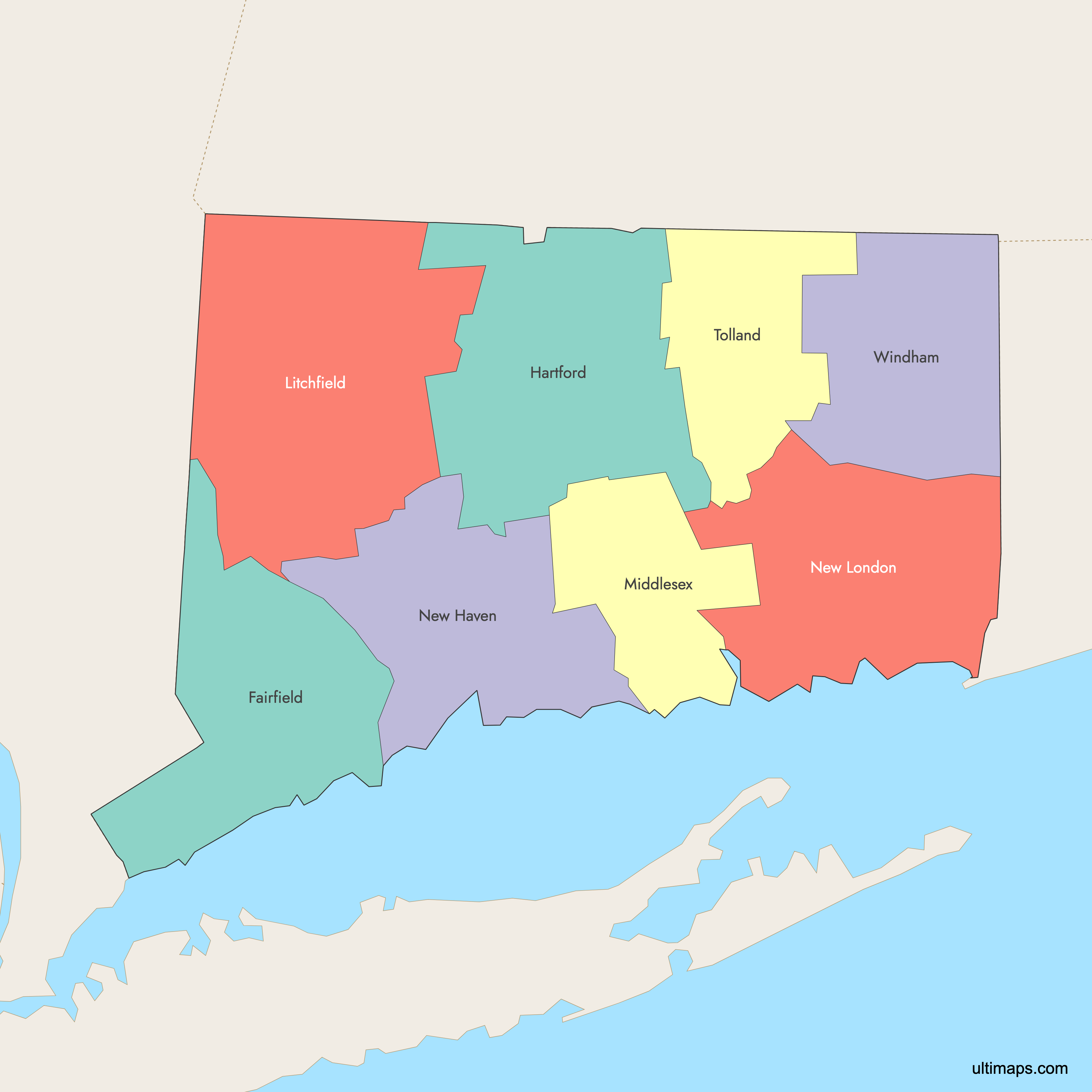
Map of Connecticut Counties
Connecticut is divided into 8 historical counties, which, although no longer serving as active county governments, continue to define the state's geography and identity. Use the interactive maps below to explore these counties and their boundaries. Download free maps or learn more about creating a custom map of Connecticut to visualize your own data.
Interactive Map of Connecticut Counties
List of Counties (8)
| # | County | County seat | Year founded |
|---|---|---|---|
| 1 | Bridgeport | 1666 | |
| 2 | Hartford | 1666 | |
| 3 | Litchfield | 1751 | |
| 4 | Middletown | 1785 | |
| 5 | New Haven | 1666 | |
| 6 | New London | 1666 | |
| 7 | Rockville | 1785 | |
| 8 | Willimantic | 1726 |
Connecticut Counties: Key Facts
- Total number of counties: 8
- Counties created in 1666: Fairfield, Hartford, New Haven, New London
- Largest county by land area: Litchfield County - 920.5 square miles (2,385.1 km²)
- Smallest county by land area: Middlesex County - 369.3 square miles (956.5 km²)
- Most populous county (2020): Fairfield County with 942,426 residents
- Least populous county (2020): Windham County with 116,540 residents
- Counties with major urban centers: Fairfield (Bridgeport), Hartford (Hartford), New Haven (New Haven)
- State capital location: Hartford County (Hartford)
- Bordering states: New York, Massachusetts, Rhode Island
- Southern boundary: Long Island Sound
Interesting Facts
- Although county government was abolished in 1960 transferring responsibilities to cities and towns, county lines are still widely shown on maps.
Free Downloads
 Colored Map of Connecticut Counties with Surrounding Areaspng458 KB
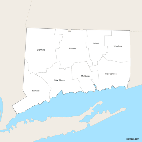 Labeled Map of Connecticut Counties with Surrounding Areaspng452 KB
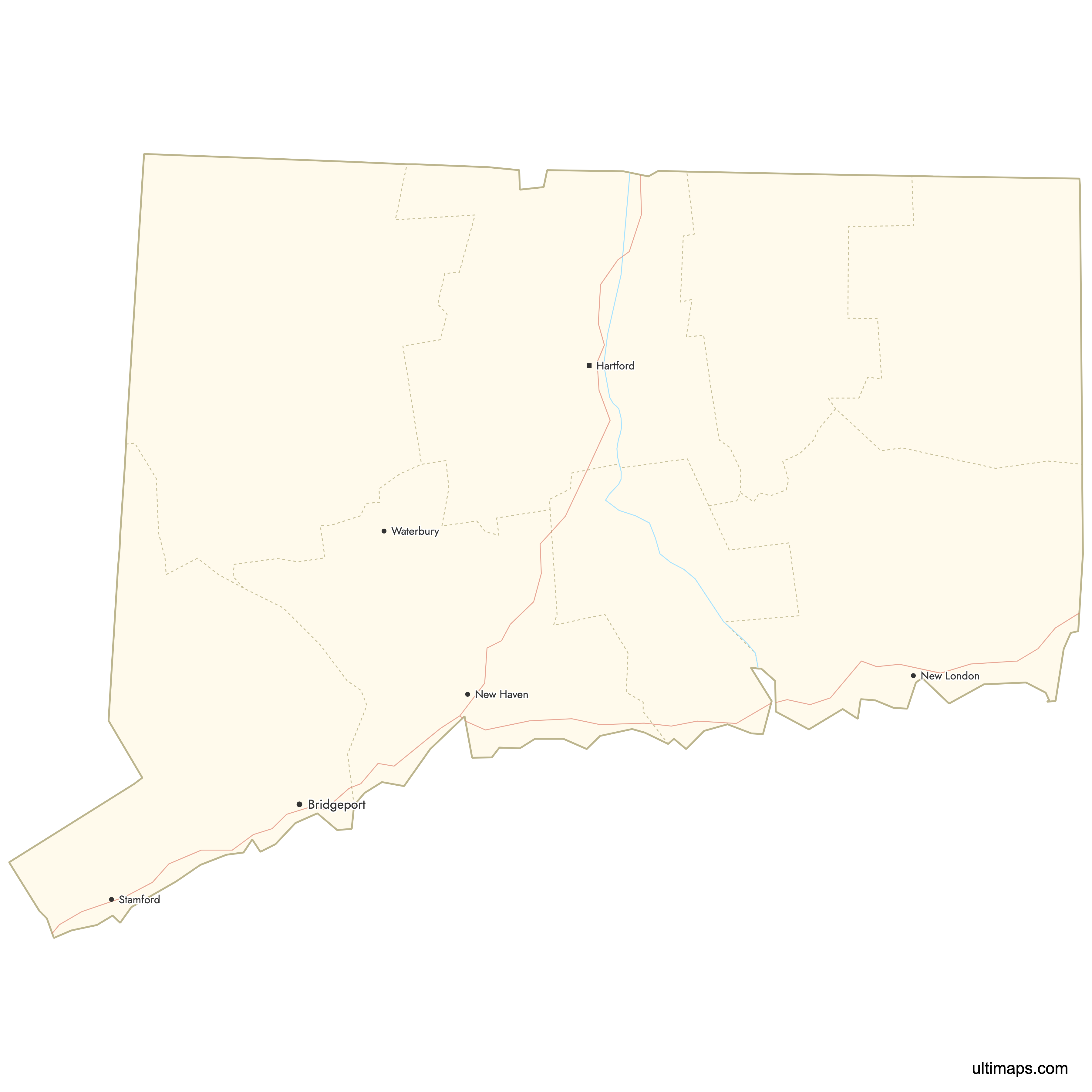
 Map of Connecticut Counties with Citiespng399 KB

You can download free blank Map of Connecticut Counties and other maps in high resolution PNG, SVG and PDF formats from the blank maps section of the site: Download Blank Map of Connecticut Counties
Custom Map Features
This map supports labels.
This map supports surrounding areas, roads, rivers and cities. New
This map is divided into 8 counties.
Updates
Sep 15, 2025:
- Improved map quality
- Added support for surrounding areas and lakes
Aug 26, 2024:
- Added map of Connecticut Counties
Frequently Asked Questions
Connecticut has 8 historical counties: Fairfield, Hartford, Litchfield, Middlesex, New Haven, New London, Tolland, and Windham. They were created between 1666 and 1785.
No. County governments were effectively abolished in 1960, and today 169 towns plus regional entities (COGs) perform local and regional government functions.
The largest county by land area is Litchfield County, with 920.5 square miles (2,385.1 km²) of land.
As of the 2020 Census, Fairfield County is the most populous, with 942,426 residents.
COGs (Councils of Governments) are regional planning agencies covering all Connecticut towns. In 2022, the U.S. Census Bureau approved 9 COGs as county-equivalent units, replacing the 8 historical counties for many federal and statistical purposes.
You can use Ultimaps to create custom maps of Connecticut. Color-code counties manually or upload data, place pins, customize look and feel, and export to PNG, PDF, or SVG.


