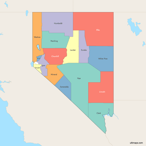
Map of Nevada Counties
Nevada is divided into 17 counties, including Carson City, which functions as a county equivalent. The state is known for its vast rural areas and urban centers like Las Vegas. Use the interactive maps below to explore counties and their boundaries. Download free maps or learn more about creating a custom map of Nevada to visualize your own data.
Interactive Map of Nevada Counties
List of Counties (16)
| # | County | County seat | Year founded |
|---|---|---|---|
| 1 | Fallon | 1861 | |
| 2 | Las Vegas | 1909 | |
| 3 | Minden | 1861 | |
| 4 | Elko | 1869 | |
| 5 | Goldfield | 1861 | |
| 6 | Eureka | 1869 | |
| 7 | Winnemucca | 1856 | |
| 8 | Battle Mountain | 1861 | |
| 9 | Pioche | 1867 | |
| 10 | Yerington | 1861 | |
| 11 | Hawthorne | 1911 | |
| 12 | Tonopah | 1864 | |
| 13 | Lovelock | 1919 | |
| 14 | Virginia City | 1861 | |
| 15 | Reno | 1861 | |
| 16 | Ely | 1869 |
Nevada Counties: Key Facts
- Total number of counties: 17 (16 counties plus Carson City)
- Largest county by area: Nye County - 18,159 square miles (47,001 km²)
- Most populous county: Clark County - 2,265,461 residents
- Smallest county by area: Storey County - 264 square miles (683 km²)
- Least populous county: Esmeralda County - 729 residents
- Counties with significant urban centers: Clark County (Las Vegas), Washoe County (Reno)
- State capital location: Carson City (independent city-county)
- Bordering states: Oregon, Idaho, Utah, Arizona, California
- Time zone: Pacific Time Zone (UTC-8/-7)
Interesting Facts
- Before statehood in 1864, the Nevada Territorial Legislature in 1861 created nine original counties.
- The current 17 counties were solidified between 1861-1911.
- Ormsby County was renamed Carson City in 1969 upon consolidation.
- Esmeralda County is known as the "Gold County" for its mining history, including the 1904 Goldfield boom.
- Nye County is larger than 10 U.S. states and contains the Nevada Test Site.
- Carson City is the only consolidated city-county in Nevada, established in 1969.
Free Downloads
 Colored Map of Nevada Counties with Surrounding Areaspng365 KB
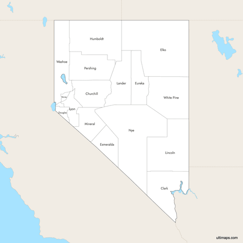 Labeled Map of Nevada Counties with Surrounding Areaspng360 KB
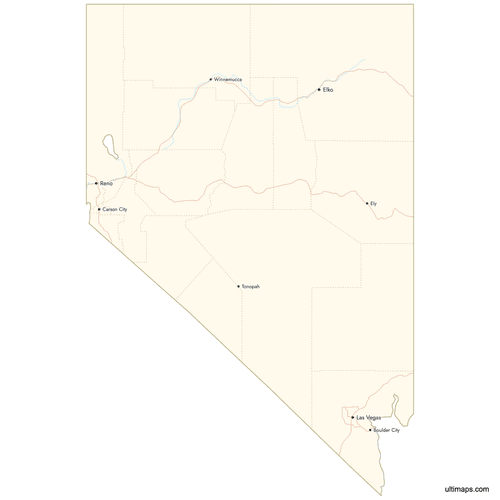 Map of Nevada Counties with Citiespng396 KB


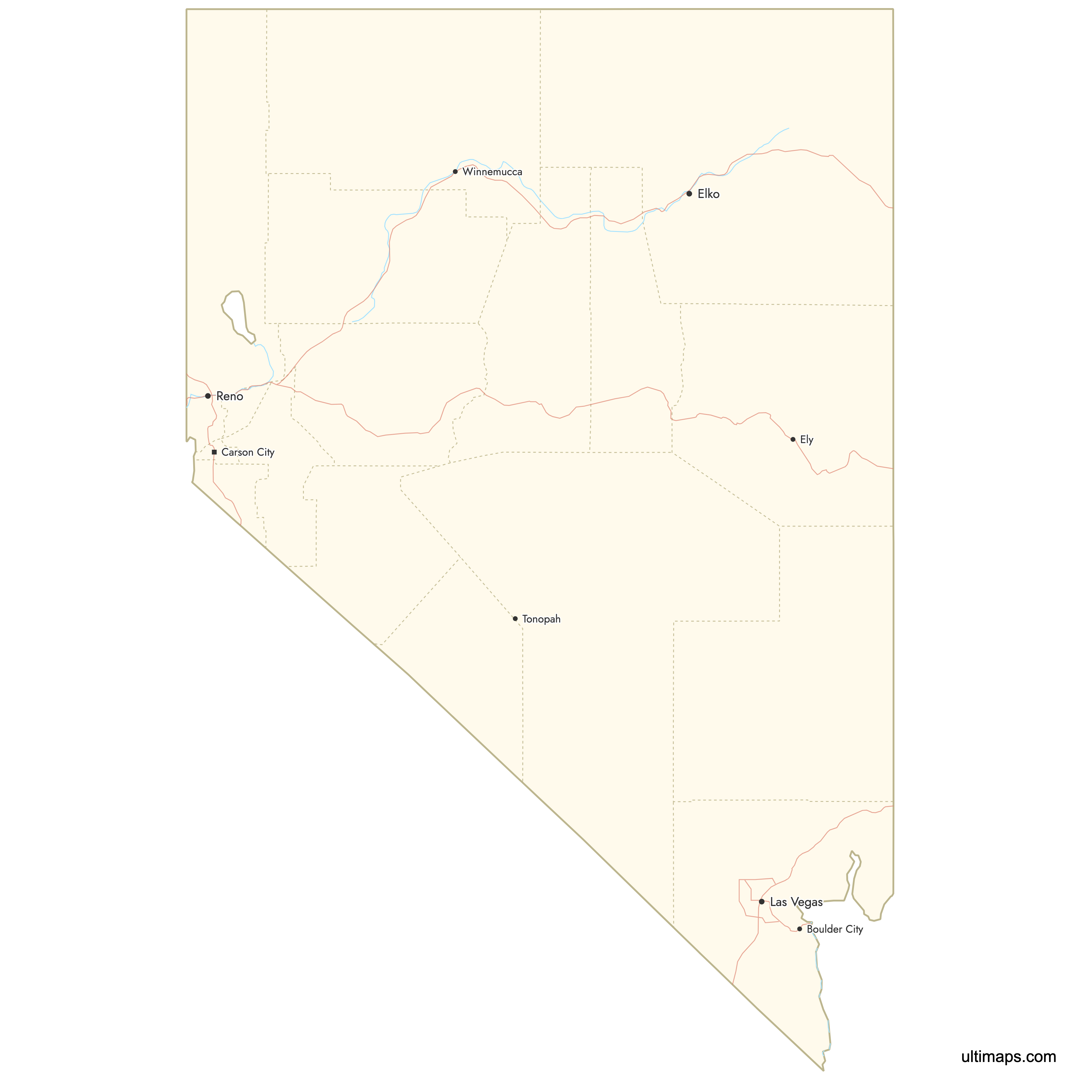
You can download free blank Map of Nevada Counties and other maps in high resolution PNG, SVG and PDF formats from the blank maps section of the site: Download Blank Map of Nevada Counties
Custom Map Features
This map supports labels.
This map supports surrounding areas, roads, rivers and cities. New
This map is divided into 16 counties.
Updates
Feb 2, 2026:
- Improved map quality
- Added support for surrounding areas and lakes
Aug 26, 2024:
- Added map of Nevada Counties
Frequently Asked Questions
Nevada has 17 counties (16 standard counties plus Carson City as an independent city-county equivalent).
Nye County is the largest at 18,159 square miles (47,001 km²).
Clark County is the most populous with 2,265,461 residents.
The nine original counties from 1861 were Churchill, Douglas, Esmeralda, Humboldt, Lake, Lander, Lyon, Ormsby, Storey, and Washoe.
Storey County is the smallest by area at 264 square miles (683 km²).
Esmeralda County has 729 residents.
You can use Ultimaps to create custom maps of Nevada. Color-code counties manually or upload data, place pins, customize the look and feel, and export to PNG, PDF, or SVG.


