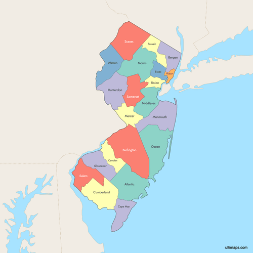
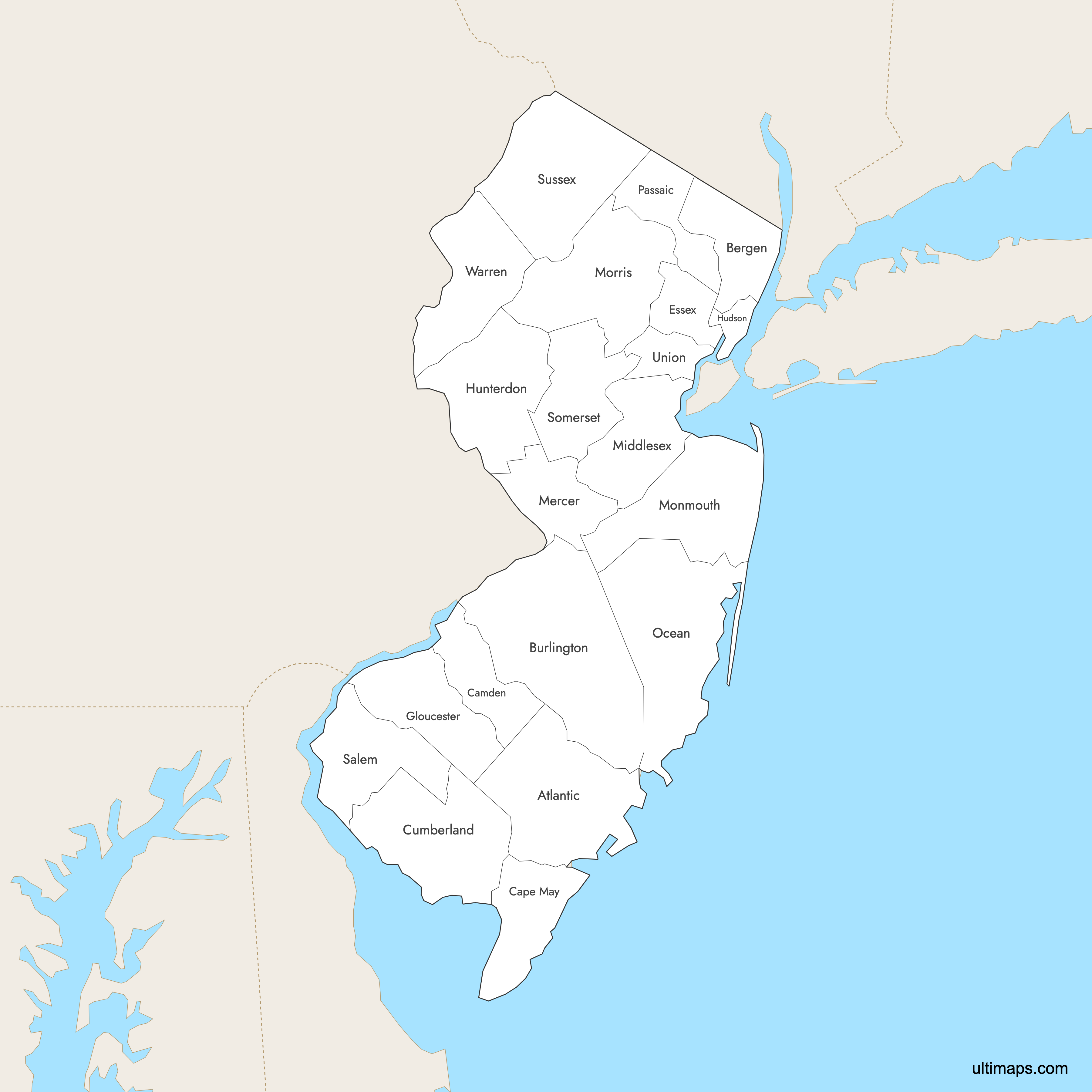
Map of New Jersey Counties
New Jersey is divided into 21 counties. Use the interactive maps below to explore counties and their boundaries. Download free maps or learn more about creating a custom map of New Jersey to visualize your own data.
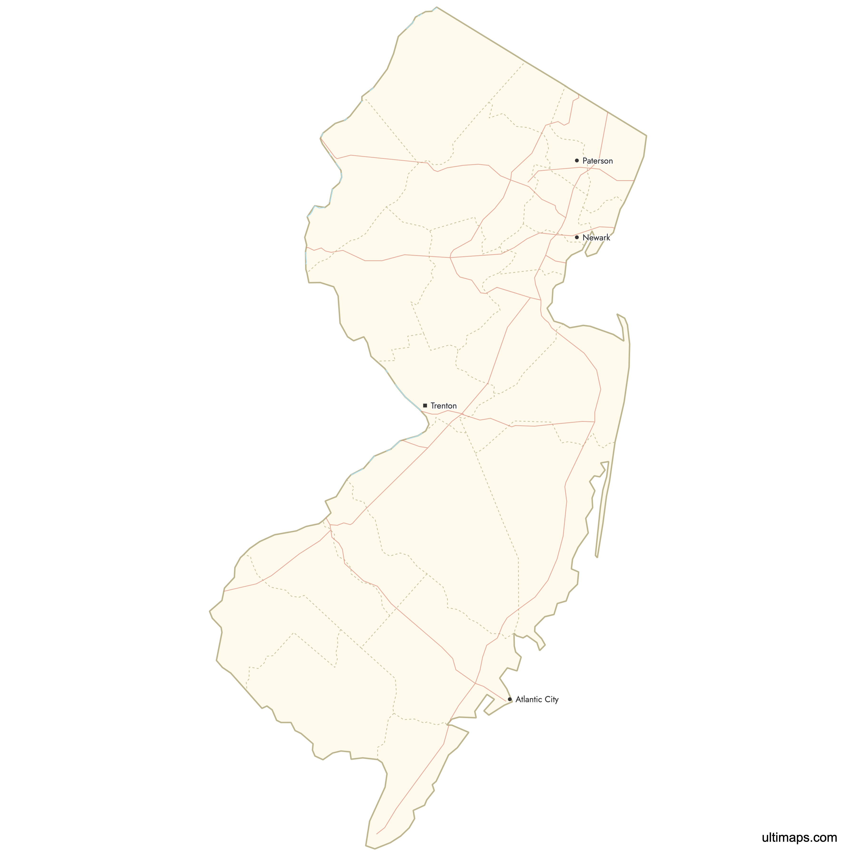
Interactive Map of New Jersey Counties
List of Counties (21)
| # | County | County seat | Year founded |
|---|---|---|---|
| 1 | Mays Landing | 1837 | |
| 2 | Hackensack | 1683 | |
| 3 | Mount Holly | 1694 | |
| 4 | Camden | 1844 | |
| 5 | Cape May Court House | 1692 | |
| 6 | Bridgeton | 1748 | |
| 7 | Newark | 1683 | |
| 8 | Woodbury | 1686 | |
| 9 | Jersey City | 1840 | |
| 10 | Flemington | 1714 | |
| 11 | Trenton | 1838 | |
| 12 | New Brunswick | 1683 | |
| 13 | Freehold | 1683 | |
| 14 | Morristown | 1739 | |
| 15 | Toms River | 1850 | |
| 16 | Paterson | 1837 | |
| 17 | Salem | 1694 | |
| 18 | Somerville | 1688 | |
| 19 | Newton | 1753 | |
| 20 | Elizabeth | 1857 | |
| 21 | Belvidere | 1824 |
New Jersey Counties: Key Facts
- Total number of counties: 21
- Most populous county: Bergen County with 955,732 people (2020 Census)
- Least populous county: Salem County with 64,837 people (2020 Census)
- Largest county by land area: Burlington County - 819.9 square miles (2,123.5 km²)
- Smallest county by area: Hudson County - 46.2 square miles (119.7 km²)
- Counties with major urban centers: Newark (Essex), Jersey City (Hudson), Paterson (Passaic), Elizabeth (Union), Trenton (Mercer)
- State capital location: Mercer County (Trenton)
- Neighboring states: New York, Pennsylvania, Delaware
Interesting Facts
- Small but dense: New Jersey is one of the smallest U.S. states, yet counties like Hudson and Essex are among the most densely populated.
- Historical divisions: Originally split into East and West Jersey, the counties reflect this division.
- Oldest counties: Burlington and Salem were established in 1681.
- Newest county: Union County, formed in 1857, is the last county to be created.
Free Downloads
 Colored Map of New Jersey Counties with Surrounding Areaspng685 KB
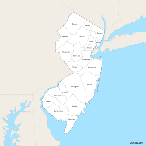 Labeled Map of New Jersey Counties with Surrounding Areaspng684 KB
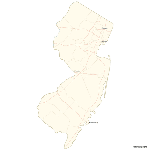 Map of New Jersey Counties with Citiespng552 KB

You can download free blank Map of New Jersey Counties and other maps in high resolution PNG, SVG and PDF formats from the blank maps section of the site: Download Blank Map of New Jersey Counties
Custom Map Features
This map supports labels.
This map supports surrounding areas, roads, rivers and cities. New
This map is divided into 21 counties.
Updates
Oct 2, 2025:
- Improved map quality
- Added support for surrounding areas and lakes
Aug 26, 2024:
- Added map of New Jersey Counties
Frequently Asked Questions
New Jersey has 21 counties.
The counties are Atlantic, Bergen, Burlington, Camden, Cape May, Cumberland, Essex, Gloucester, Hudson, Hunterdon, Mercer, Middlesex, Monmouth, Morris, Ocean, Passaic, Salem, Somerset, Sussex, Union, and Warren.
Bergen County is the most populous, with 955,732 residents according to the 2020 Census.
Burlington County is the largest by area, covering about 819.9 square miles (2,123.5 km²).
The state capital, Trenton, is located in Mercer County.
You can use Ultimaps to create custom maps of New Jersey. Color-code counties manually or upload data, place pins, customize look and feel, and export to PNG, PDF, or SVG.


