Map of Oregon Counties
Oregon is divided into 36 counties, from the urban Multnomah County, home to Portland, to the vast Harney County in the high desert. Use the interactive maps below to explore counties and their boundaries. Download free maps or learn more about creating a custom map of Oregon to visualize your own data.
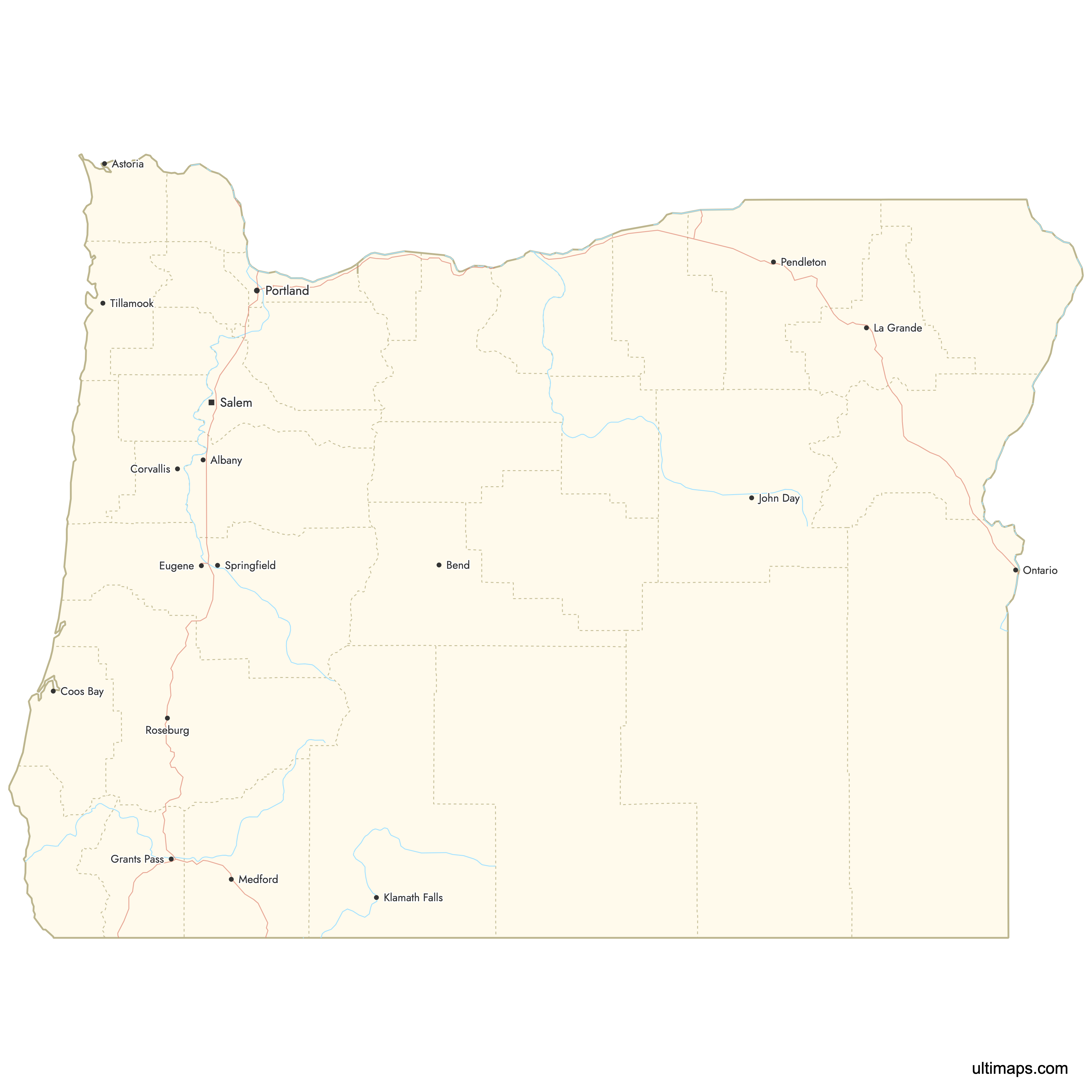
Interactive Map of Oregon Counties
List of Counties (36)
| # | County | County seat | Year founded |
|---|---|---|---|
| 1 | Baker City | 1862 | |
| 2 | Corvallis | 1847 | |
| 3 | Oregon City | 1843 | |
| 4 | Astoria | 1844 | |
| 5 | Saint Helens | 1854 | |
| 6 | Coquille | 1853 | |
| 7 | Prineville | 1882 | |
| 8 | Gold Beach | 1855 | |
| 9 | Bend | 1916 | |
| 10 | Roseburg | 1852 | |
| 11 | Condon | 1885 | |
| 12 | Canyon City | 1864 | |
| 13 | Burns | 1889 | |
| 14 | Hood River | 1908 | |
| 15 | Medford | 1852 | |
| 16 | Madras | 1914 | |
| 17 | Grants Pass | 1856 | |
| 18 | Klamath Falls | 1882 | |
| 19 | Lakeview | 1874 | |
| 20 | Eugene | 1851 | |
| 21 | Newport | 1893 | |
| 22 | Albany | 1847 | |
| 23 | Vale | 1887 | |
| 24 | Salem | 1843 | |
| 25 | Heppner | 1885 | |
| 26 | Portland | 1854 | |
| 27 | Dallas | 1845 | |
| 28 | Moro | 1889 | |
| 29 | Tillamook | 1853 | |
| 30 | Pendleton | 1862 | |
| 31 | La Grande | 1864 | |
| 32 | Enterprise | 1887 | |
| 33 | The Dalles | 1854 | |
| 34 | Hillsboro | 1843 | |
| 35 | Fossil | 1899 | |
| 36 | McMinnville | 1843 |
Oregon Counties: Key Facts
- Total number of counties: 36
- Largest county by land area: Harney County - 10,226 square miles (26,489 km²)
- Smallest county by area: Multnomah County - 466 square miles (1,207 km²)
- Most populous county: Multnomah County - 815,428 residents
- Least populous county: Wheeler County - 1,451 residents
- State capital location: Marion County (Salem)
- Bordering states: Washington, Idaho, Nevada, California
- Time zones: Most counties in the Pacific Time Zone; parts of Malheur County in the Mountain Time Zone
Interesting Facts
- Harney County’s size: Harney County is larger than several U.S. states, such as Massachusetts and New Jersey.
- Coastal “string”: Oregon’s coastline is traced by seven coastal counties, forming a continuous band along US-101.
- Portland metro “triad”: Multnomah, Washington, and Clackamas counties form the core of Oregon’s largest metropolitan area.
Free Downloads
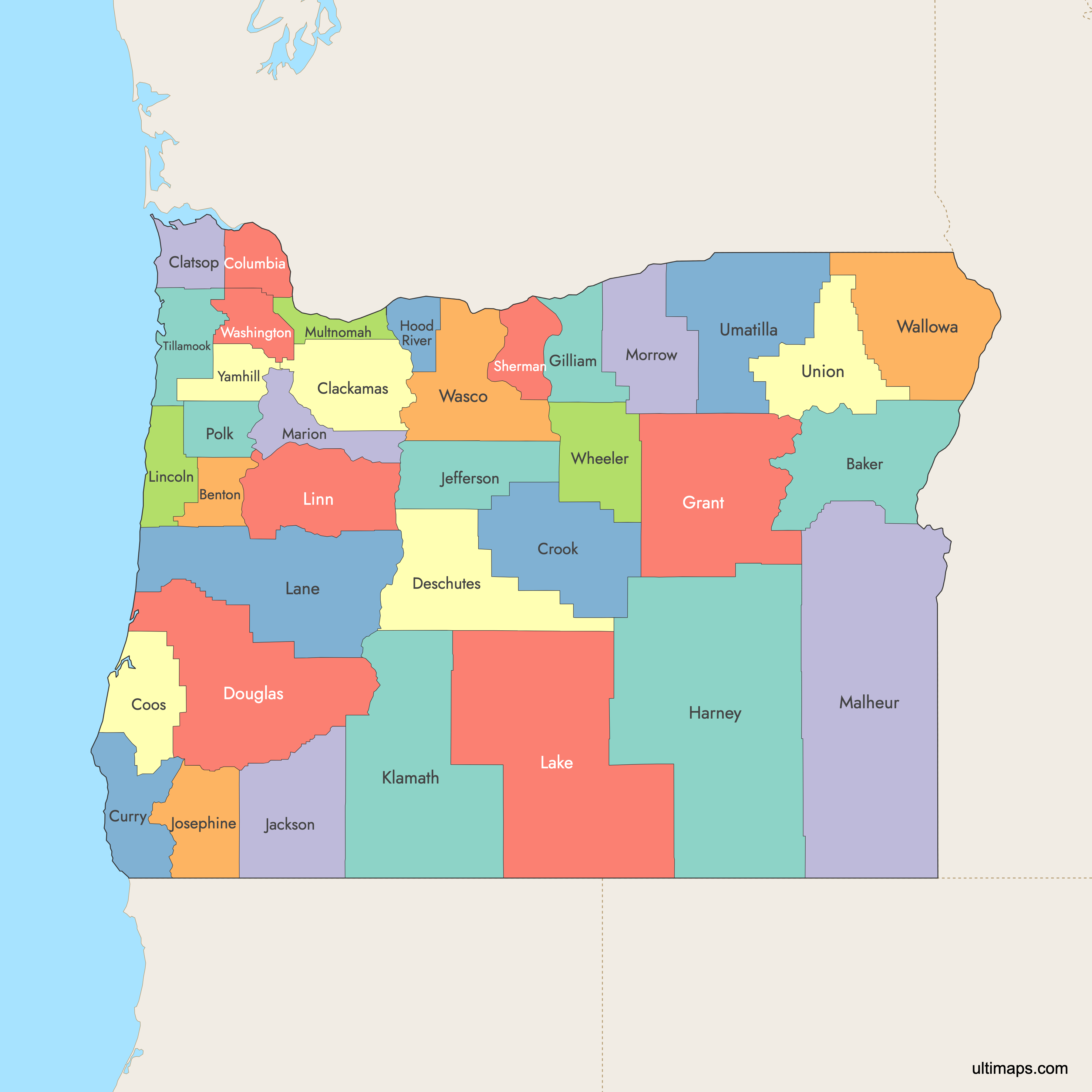
 Colored Map of Oregon Counties with Surrounding Areaspng526 KB
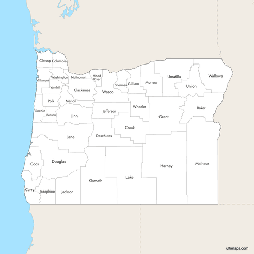 Labeled Map of Oregon Counties with Surrounding Areaspng516 KB
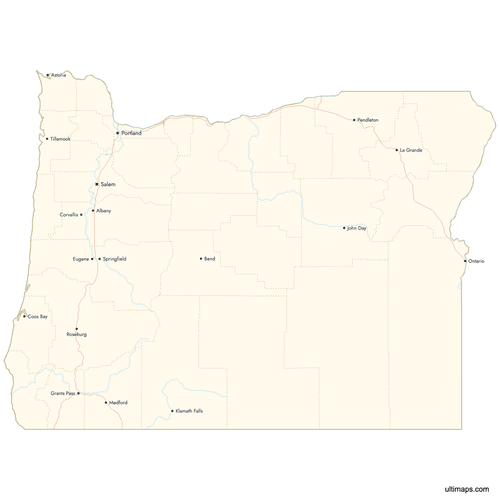 Map of Oregon Counties with Citiespng583 KB
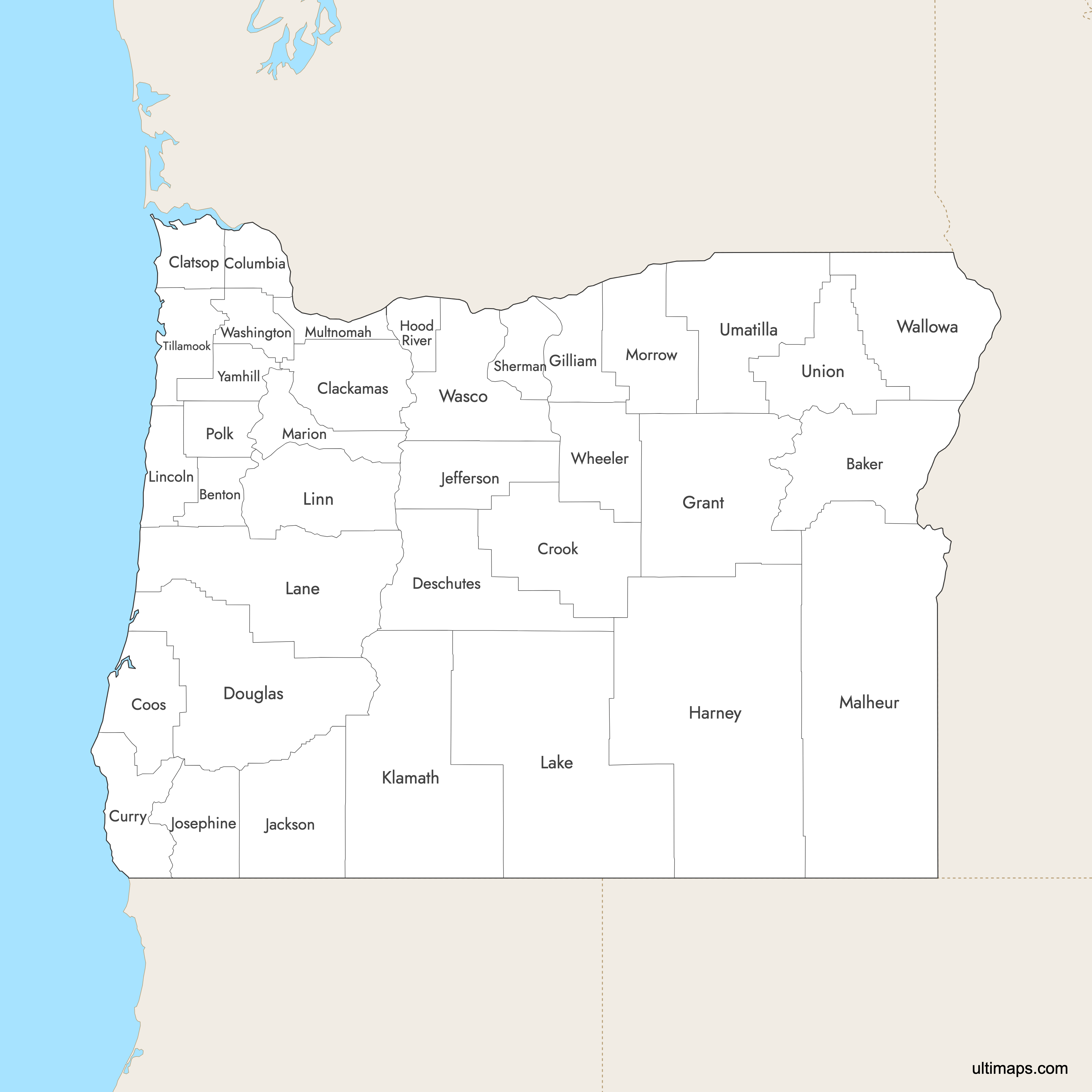
You can download free blank Map of Oregon Counties and other maps in high resolution PNG, SVG and PDF formats from the blank maps section of the site: Download Blank Map of Oregon Counties
Custom Map Features
This map supports labels.
This map supports surrounding areas, roads, rivers and cities. New
This map is divided into 36 counties.
Updates
Aug 6, 2025:
- Improved map quality
- Added support for surrounding areas and lakes
Aug 26, 2024:
- Added map of Oregon Counties
Frequently Asked Questions
There are 36 counties in Oregon.
Harney County in southeastern Oregon is the largest county in the state, with a land area of 10,226 square miles (26,489 square kilometers).
Multnomah County is the smallest by land area at roughly 466 square miles (1,207 square kilometers).
Multnomah County has the largest population in Oregon, with 815,428 residents according to the 2020 U.S. Census.
Wheeler County has the smallest population of any Oregon county, with 1,451 residents according to the 2020 Census.
The main coastal counties in Oregon are Clatsop, Tillamook, Lincoln, Lane, Douglas, Coos, and Curry.
The Portland metropolitan area includes Multnomah, Washington, and Clackamas counties.
You can use Ultimaps to create custom maps of Oregon. Color-code counties manually or upload data, place pins, customize look and feel, and export to PNG, PDF, or SVG.


