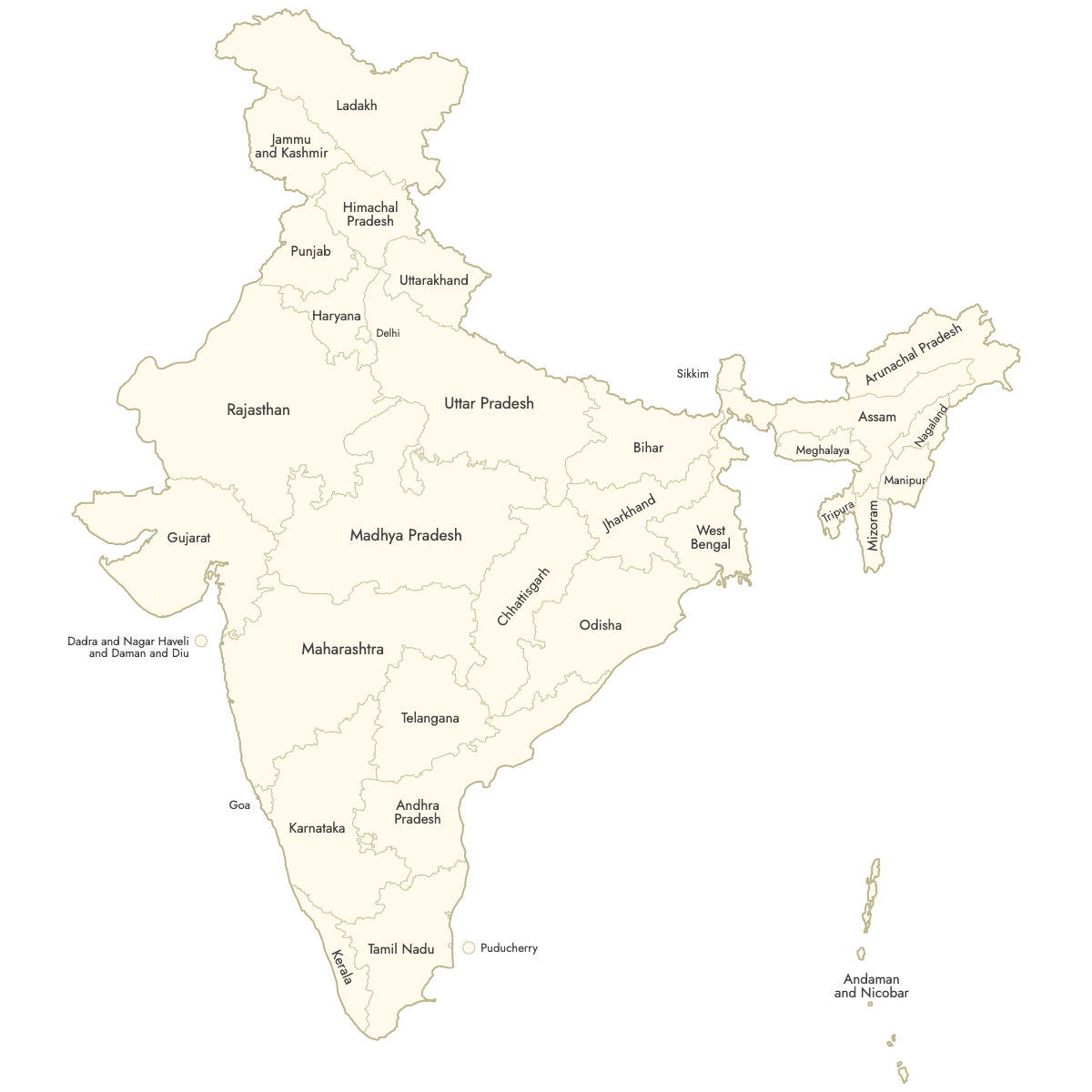
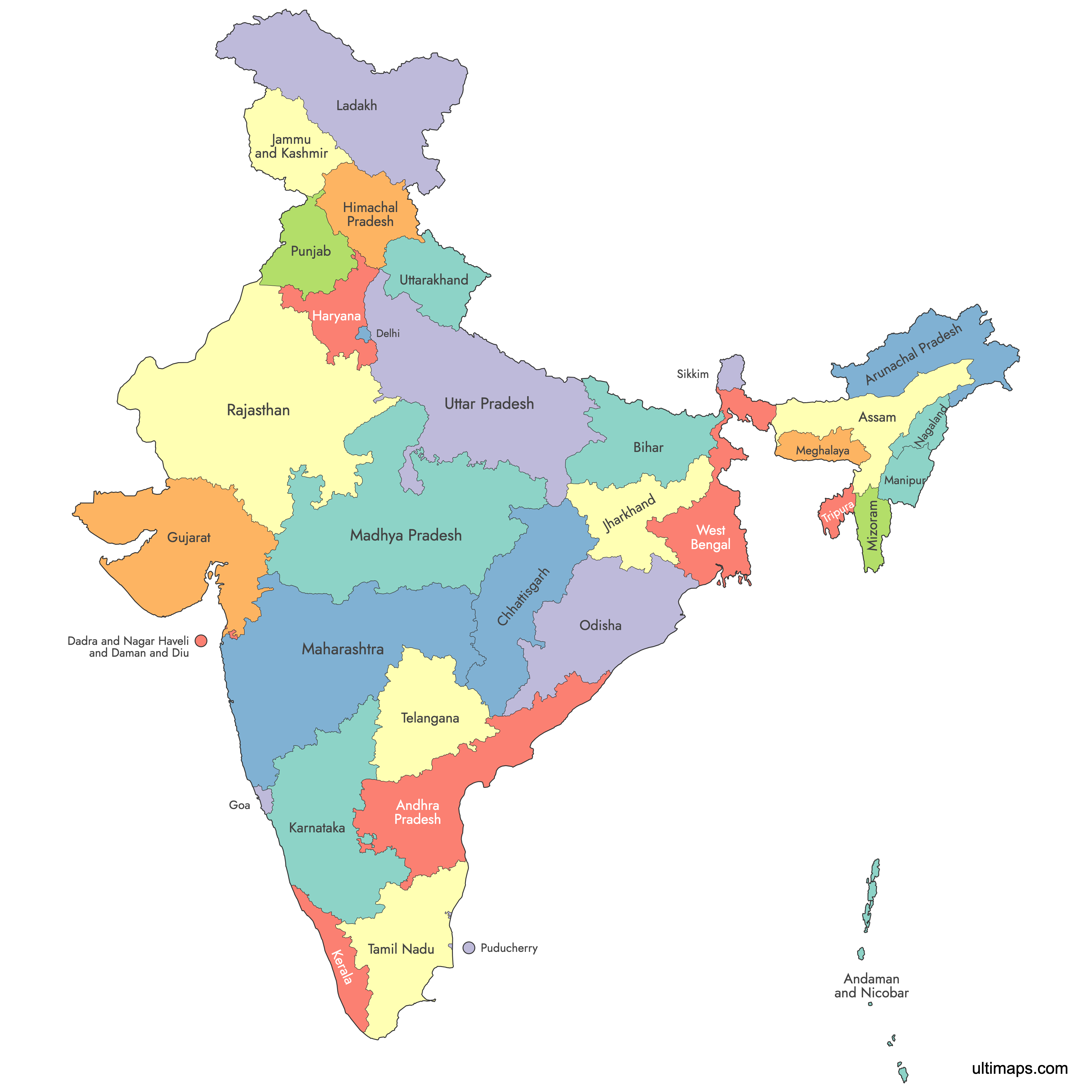
Map of India
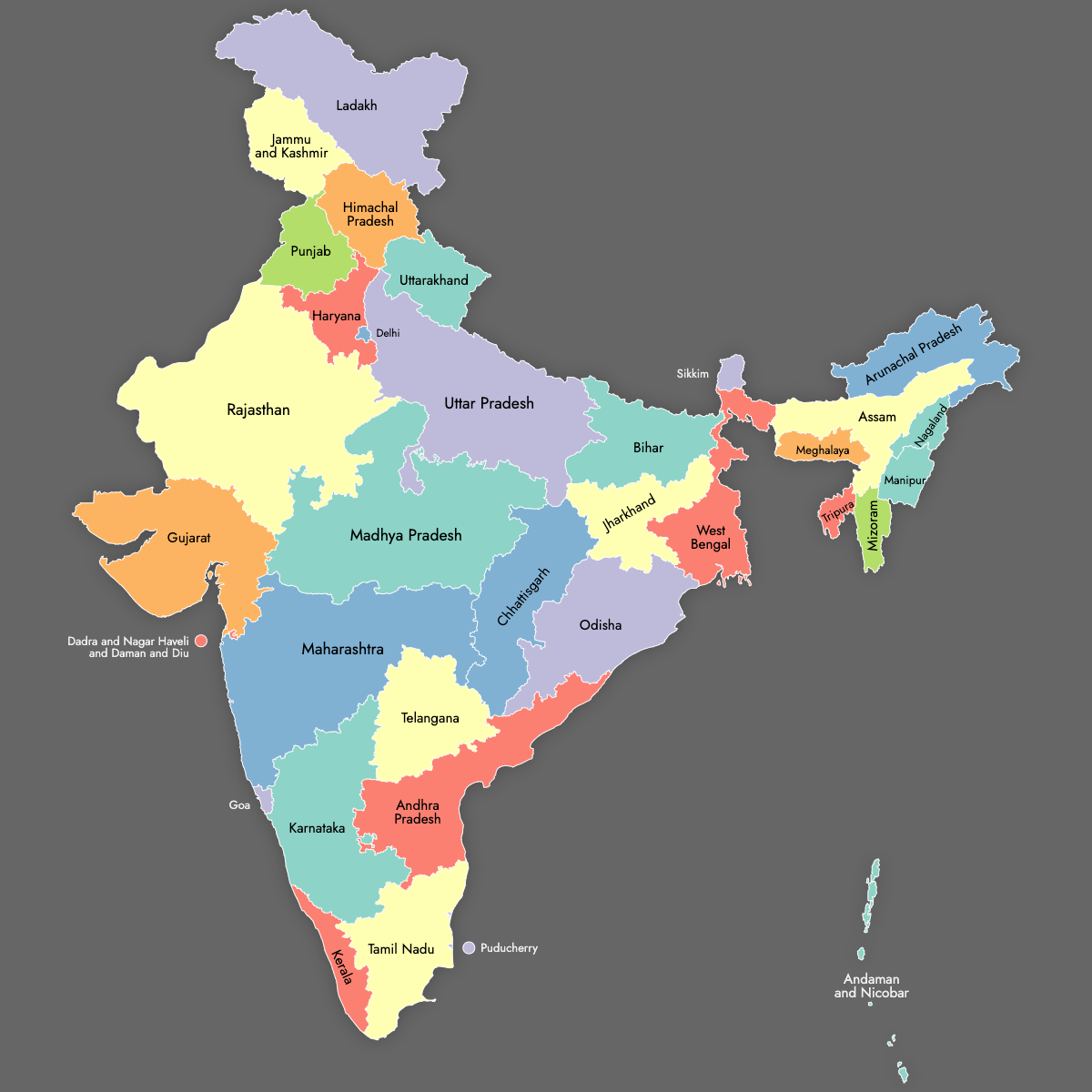
Create a custom map of India divided by its states and union territories, and export your map as a high-resolution PNG, SVG, or PDF, suitable for documents and business presentations. You can import data from Excel, Google Sheets, or CSV files to automatically apply colors to each state or territory based on your dataset, which is helpful for visualizing sales territories, service regions, or office locations.
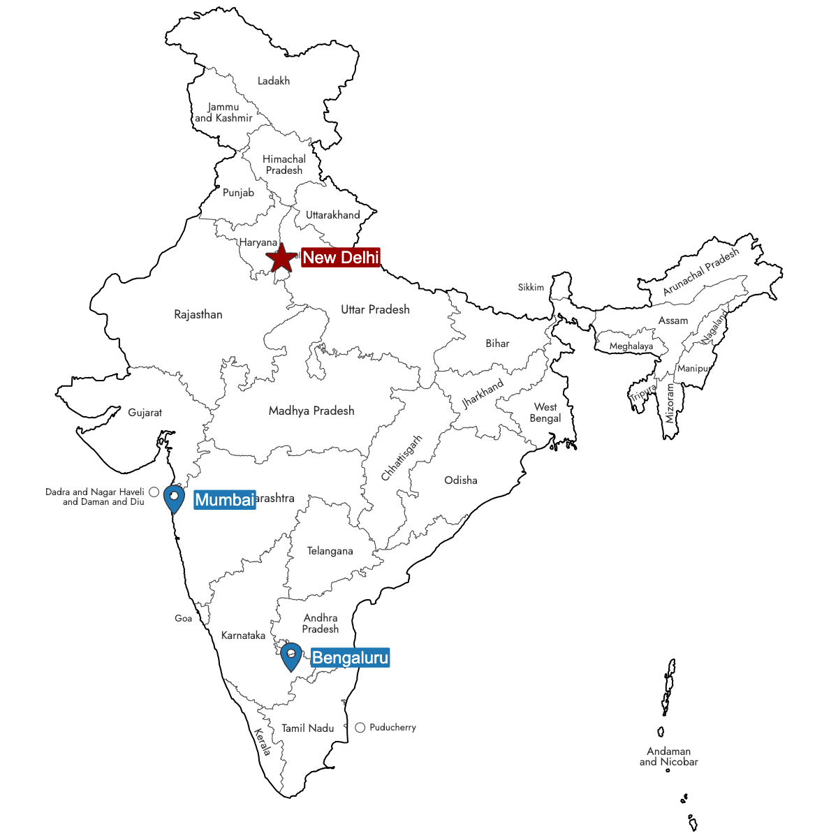
Manual coloring is available for full control over individual regions, and you can use the AI feature to generate color schemes or highlight important areas. Pin key cities or locations across India to add more information and context to your map.
For interactive uses, you can create and customize an embeddable map for your website. This interactive map allows viewers to click or hover on states and union territories in India to view details and additional data layers.
Map Details
This map supports labels.
This map is divided into 36 states:
- Andaman and Nicobar
- Andhra Pradesh
- Arunachal Pradesh
- Assam
- Bihar
- Chandigarh
- Chhattisgarh
- Dadra and Nagar Haveli and Daman and Diu
- Delhi
- Goa
- Gujarat
- Haryana
- Himachal Pradesh
- Jammu and Kashmir
- Jharkhand
- Karnataka
- Kerala
- Ladakh
- Lakshadweep
- Madhya Pradesh
- Maharashtra
- Manipur
- Meghalaya
- Mizoram
- Nagaland
Check out the related maps below if you're looking for a different map of the same geographic region.
Related Maps
Free Downloads
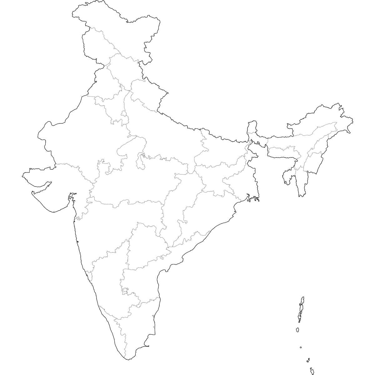
You can download free blank Map of India and other maps in high resolution PNG, SVG and PDF formats from the blank maps section of the site: Download Blank Map of India
About India
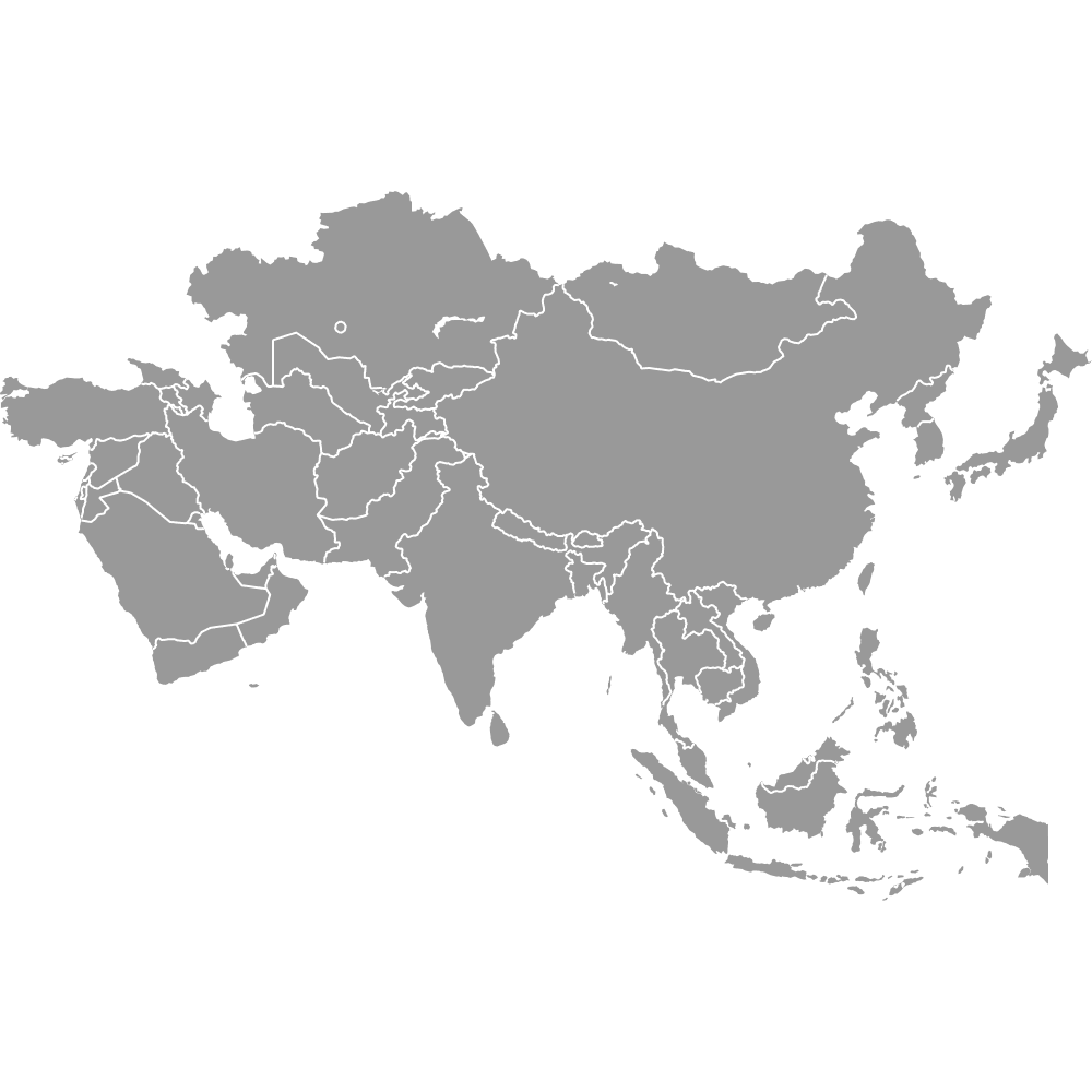
India is a country in South Asia, known for its diverse regions and populations. It is divided into states and union territories, each with its own administrative boundaries. The internal boundaries help differentiate each region’s unique governing structures, cultures, and significance.
Key facts about the India map:
- Number of states: 28
- Number of union territories: 8
- Total regions: 36
- Largest state by area: Rajasthan
- Most populous state: Uttar Pradesh
- Smallest state by area: Goa
- Major urban centers: Delhi, Mumbai, Bengaluru, Kolkata, Chennai, Hyderabad
- Prominent boundaries: Shares borders with Pakistan, China, Nepal, Bhutan, Bangladesh, and Myanmar, plus the Indian Ocean coast
- Political boundaries have evolved over time, with the most recent state formations in the 21st century
Updates
Sep 26, 2024:
- Added map of India