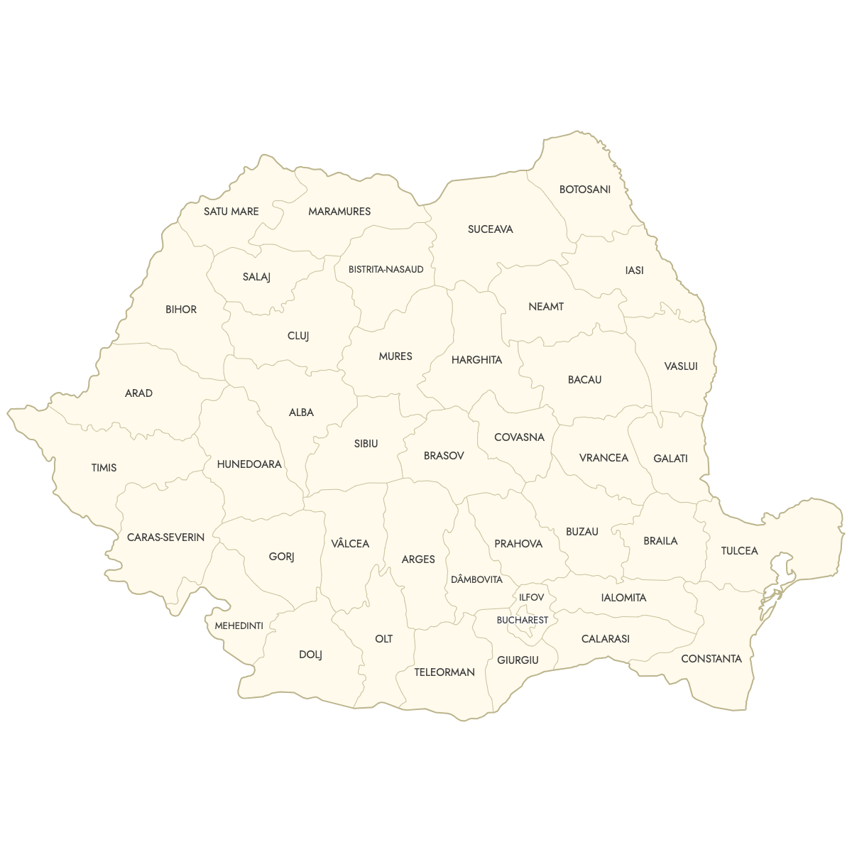
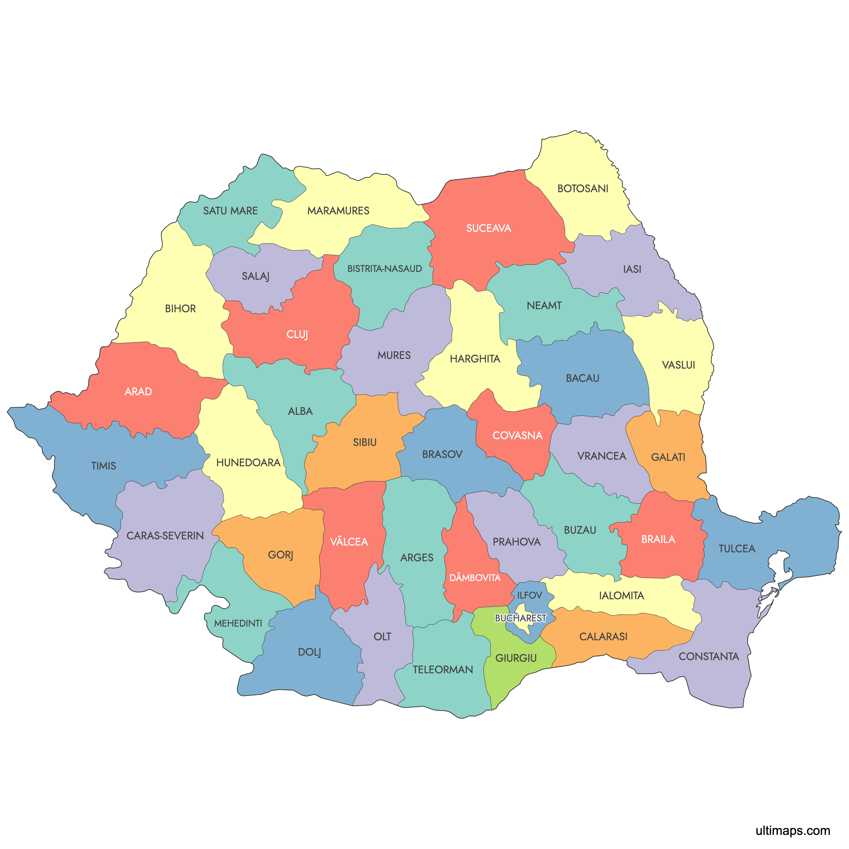
Map of Romania Counties
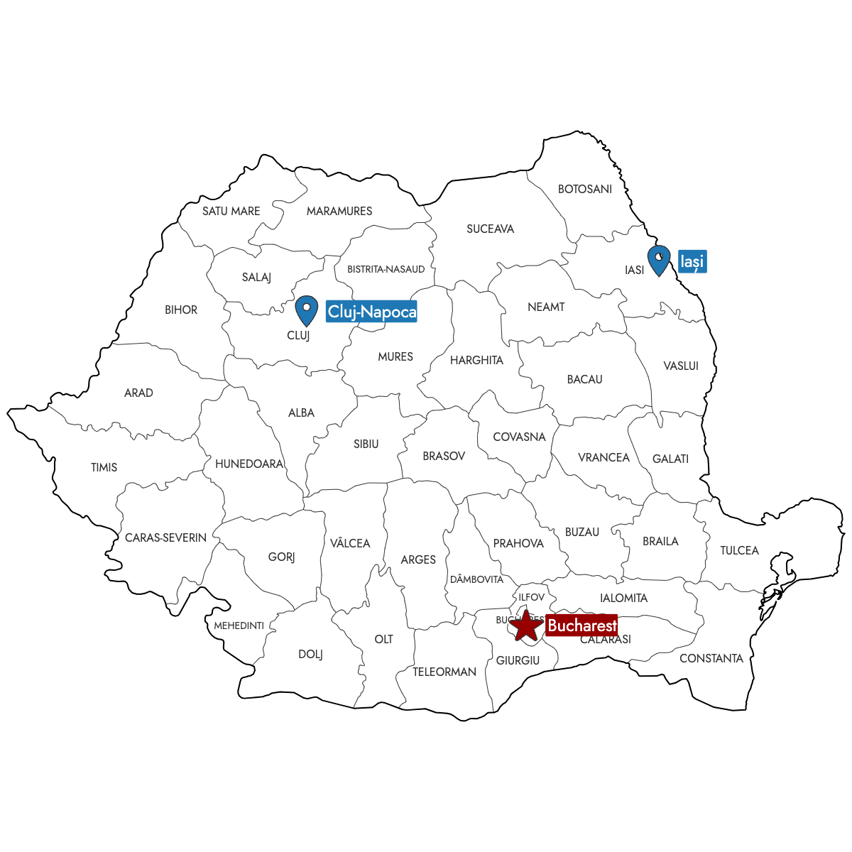
Create a custom map of Romania divided by its counties, and export your map as high-resolution PNG, SVG, or PDF files suitable for reports or business presentations. You can import data from Excel, Google Sheets, or CSV to fill each county with specific colors for visualizing sales regions, service areas, or office locations, and add pins for key cities or points of interest.
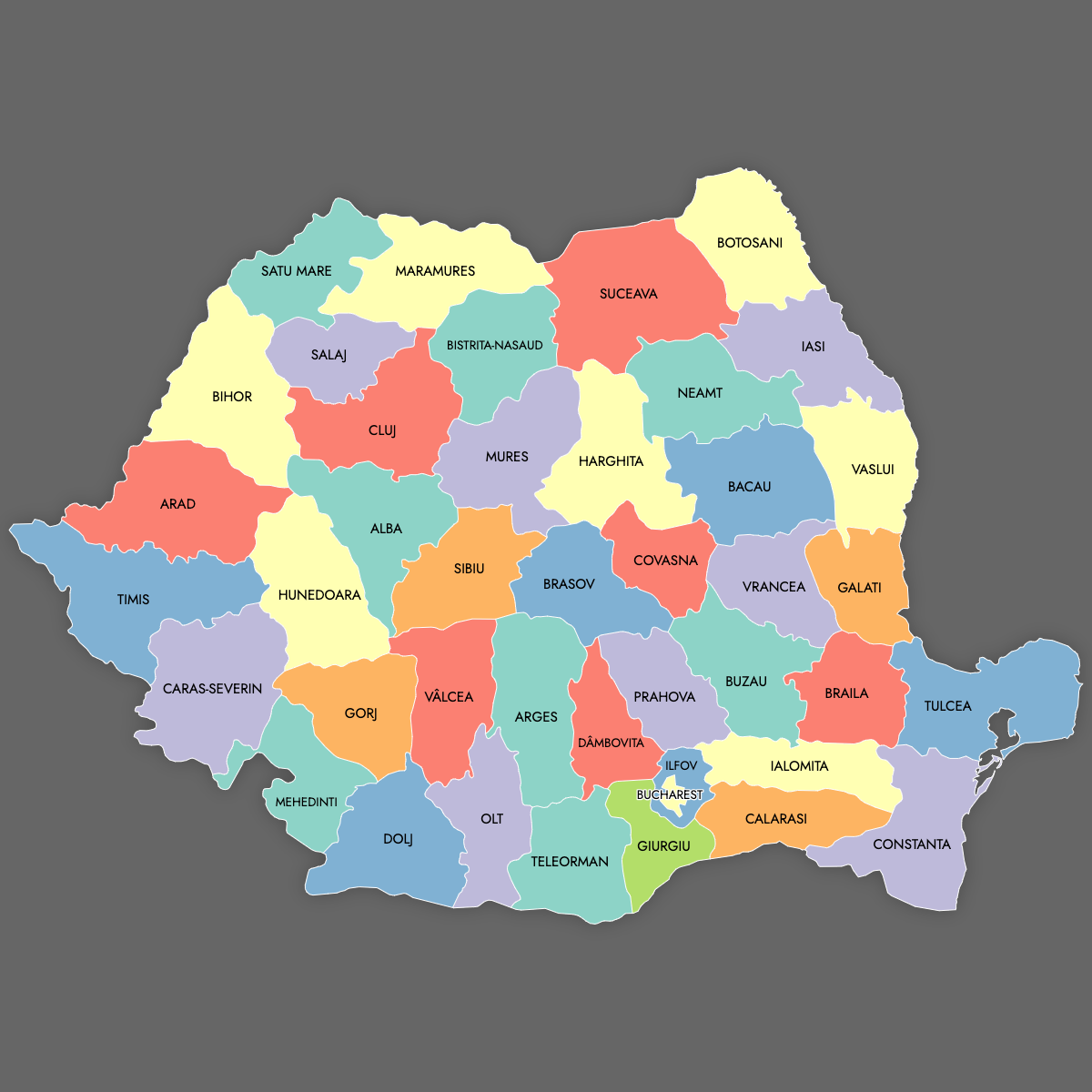
Manual coloring lets you highlight any county directly, or use the built-in AI feature to assign colors based on your imported data.
For interactive needs, you can generate an editable map of Romania to embed online. Viewers can click or hover to see county names, details, or any additional information you want to display.
Map Details
This map supports labels.
This map is divided into 42 counties:
- Alba
- Arad
- Arges
- Bacau
- Bihor
- Bistrita-Nasaud
- Botosani
- Braila
- Brasov
- Bucharest
- Buzau
- Calarasi
- Caras-Severin
- Cluj
- Constanta
- Covasna
- Dâmbovita
- Dolj
- Galati
- Giurgiu
- Gorj
- Harghita
- Hunedoara
- Ialomita
- Iasi
Check out the related maps below if you're looking for a different map of the same geographic region.
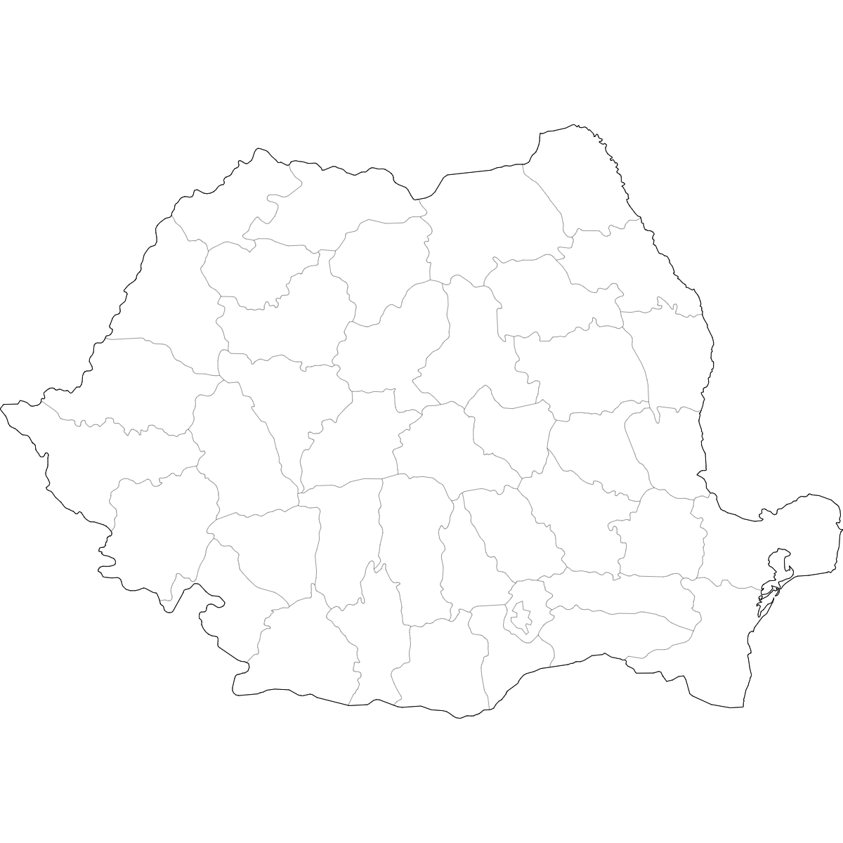
Free Downloads
You can download free blank Map of Romania Counties and other maps in high resolution PNG, SVG and PDF formats from the blank maps section of the site: Download Blank Map of Romania Counties
About Romania
Romania is administratively divided into counties, each known as a "județ." These serve as the main territorial units for local government and administration. Each county has its own capital city and unique boundaries that have evolved since the country’s modern formation in the 19th and 20th centuries.
Key facts about the Romania counties map:
- Number of counties: 41, plus the municipality of Bucharest
- Largest county by area: Timiș
- Most populous county: Iași (excluding Bucharest)
- Smallest county by area: Ilfov
- County capitals include cities such as Cluj-Napoca, Constanța, Timișoara, and Brașov
- Borders neighboring countries: Hungary, Serbia, Bulgaria, Ukraine, and Moldova
- Counties (județe) are the essential level for regional organization and data collection in Romania
- Established in their current form after administrative reforms in 1968