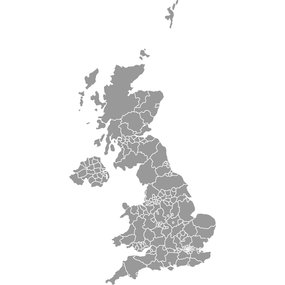
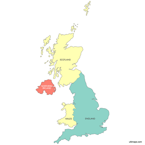
Map of United Kingdom Countries
The United Kingdom is made up of four distinct countries: England, Scotland, Wales and Northern Ireland, each with its own capital, culture and devolved parliament.
Use the interactive maps below to explore UK's countries and their boundaries. Download free maps or learn more about creating a custom map of United Kingdom's countries to highlight your own data.
Interactive Map of United Kingdom Countries
List of Countries (4)
| # | Country |
|---|---|
| 1 | |
| 2 | |
| 3 | |
| 4 |
United Kingdom Countries: Key Facts
- Number of countries: 4
- Largest country by area: England - about 130,279 km²
- Most populous country: England - roughly 56 million residents
- Smallest country by area: Northern Ireland - about 14,130 km²
- Capitals: London (England), Edinburgh (Scotland), Cardiff (Wales), Belfast (Northern Ireland)
- Time zone: GMT
- Highest peak: Ben Nevis, 1,345 m (Scotland)
- Longest river: River Severn, 354 km
- Fun fact: The Prime Meridian (0° longitude) runs through Greenwich in London, giving its name to Greenwich Mean Time
- Current country borders have remained unchanged since the partition of Ireland in 1921
Free Downloads
 Labeled Map of United Kingdom Countriespng469 KB
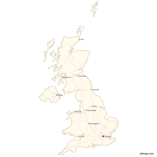 Map of United Kingdom Countries with Citiespng658 KB


You can download free blank Map of United Kingdom Countries and other maps in high resolution PNG, SVG and PDF formats from the blank maps section of the site: Download Blank Map of United Kingdom Countries
Custom Map Features
This map supports labels.
This map is divided into 4 countries.
Updates
Sep 28, 2023:
- Added map of United Kingdom Countries