Map of Egypt Governorates
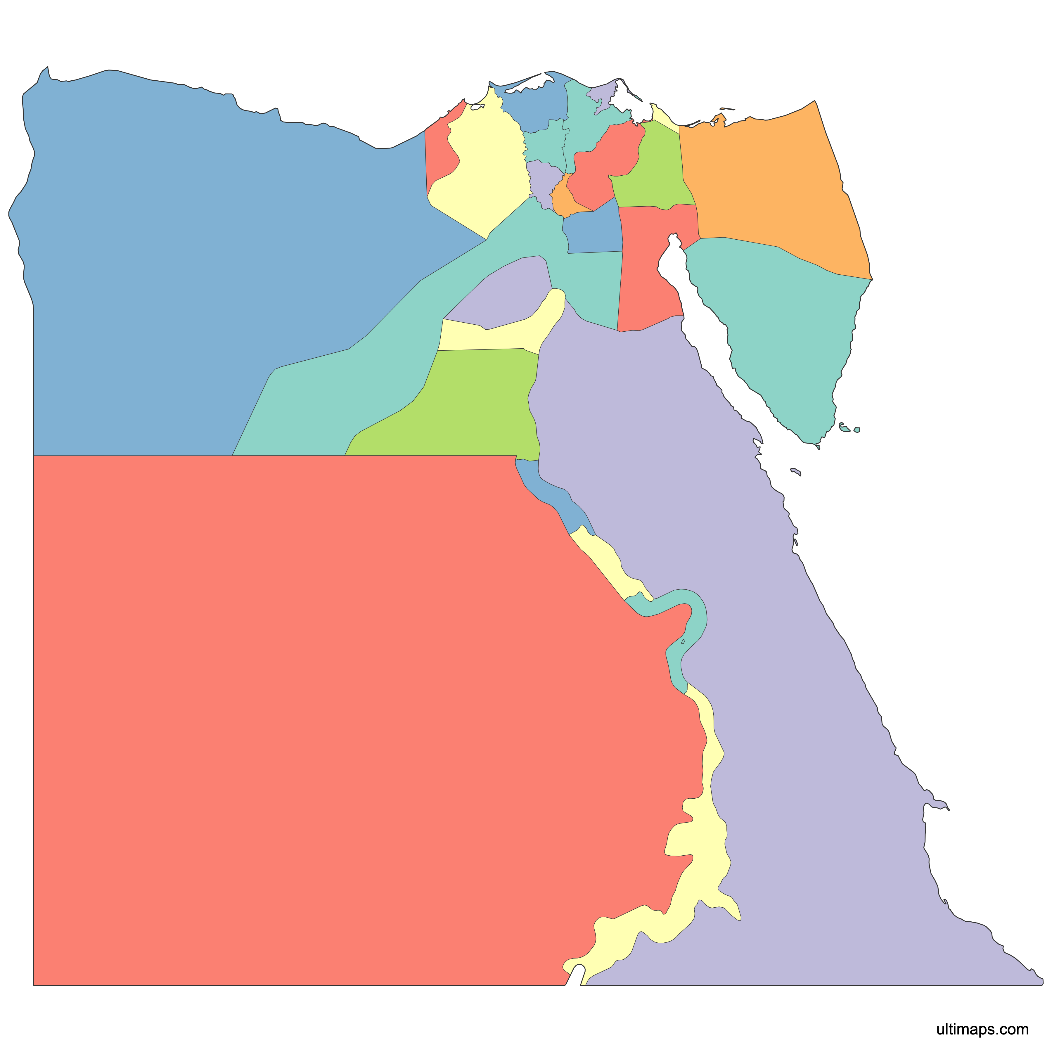
Egypt is divided into 27 governorates, the country's primary administrative divisions, each headed by a governor appointed by the president. Use the interactive map below to explore governorate boundaries from the Nile Delta to the Sinai Peninsula. Download free reference maps or create a custom map of Egypt to visualize your own data.
Interactive Map of Egypt Governorates
List of Governorates (27)
| # | Governorate |
|---|---|
| 1 | |
| 2 | |
| 3 | |
| 4 | |
| 5 | |
| 6 | |
| 7 | |
| 8 | |
| 9 | |
| 10 | |
| 11 | |
| 12 | |
| 13 | |
| 14 | |
| 15 | |
| 16 | |
| 17 | |
| 18 | |
| 19 | |
| 20 | |
| 21 | |
| 22 | |
| 23 | |
| 24 | |
| 25 | |
| 26 | |
| 27 |
About Egypt's Governorates
- Number of governorates: 27.
- National capital: Cairo.
- Largest governorate by area: New Valley (Al Wadi al Jadid), approximately 376,505 km² (145,369 sq mi).
- Smallest governorate by area: Damietta, approximately 910 km² (351 sq mi).
- Most populous governorate: Cairo, approximately 10,025,657 (2022 estimate).
- Least populous governorate: South Sinai, approximately 108,635 (2022 estimate).
- Bordering countries and bodies of water: Egypt borders Libya to the west, Sudan to the south, Israel and the Gaza Strip to the northeast, and Jordan across the Gulf of Aqaba. The Mediterranean Sea lies to the north and the Red Sea to the east.
- Time zone: UTC+2 (Eastern European Time) year-round.
- Current boundaries established: The most recent changes to Egypt's governorate map were proposed on 17 August 2014, when three new governorates (Central Sinai, Al-Alamein, and Al-Wahhat Al-Bahariya) were announced, though these are not consistently reflected in all official maps.
Interesting Facts
- The Suez Canal, one of the world's most important waterways, runs through the governorates of Suez, Ismailia, and Port Said, connecting Africa and Asia.
- Egypt's governorates use a layered local-government system, with rural governorates subdivided into centers, cities, districts, and villages in a two-tier or three-tier structure.
- The Sinai Peninsula, situated between the Mediterranean and Red seas, is split primarily between North Sinai and South Sinai governorates, making Egypt one of the few countries spanning two continents.
- New Valley governorate alone covers roughly 38% of Egypt's total land area, yet it is one of the least populated governorates in the country.
Free Downloads
You can download free blank Map of Egypt Governorates and other maps in high resolution PNG, SVG and PDF formats from the blank maps section of the site: Download Blank Map of Egypt Governorates
Custom Map Features
This map is divided into 27 governorates.
Updates
Apr 14, 2024:
- Added map of Egypt Governorates
Frequently Asked Questions
Egypt is divided into 27 governorates, each with its own capital city and a governor appointed by the president. These governorates serve as the country's first-level administrative divisions and are further subdivided into centers, cities, districts, and villages.
New Valley (Al Wadi al Jadid) is the largest governorate, covering approximately 376,505 km² (145,369 sq mi). It is located in the western desert and accounts for roughly 38% of Egypt's total land area, despite having a relatively small population.
Damietta is the smallest governorate by area, spanning approximately 910 km² (351 sq mi). It sits on the northeastern edge of the Nile Delta along the Mediterranean coast.
Cairo is the most populous governorate with approximately 10,025,657 residents (2022 estimate). It serves as both the national capital and the political, economic, and cultural center of Egypt.
The Pyramids of Giza are in the Giza governorate, directly adjacent to Cairo. The ancient temples of Luxor and the Valley of the Kings fall within Luxor governorate. The Suez Canal, connecting the Mediterranean and Red seas, passes through the Suez, Ismailia, and Port Said governorates.
Egypt borders Libya to the west, Sudan to the south, and Israel and the Gaza Strip to the northeast. Jordan lies across the Gulf of Aqaba. The Mediterranean Sea forms the northern coastline, and the Red Sea runs along the eastern coast.
You can use Ultimaps to create custom maps of Egypt. Color-code governorates manually or upload your data, place pins, customize the look, and export to PNG, PDF, or SVG. No sign-up required.