
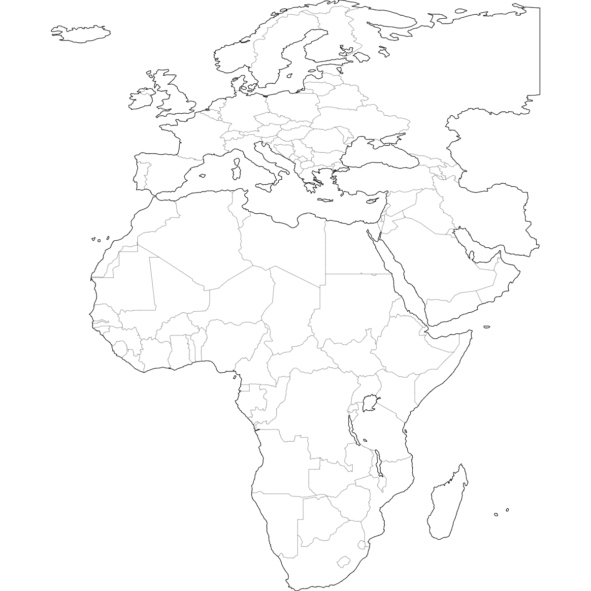
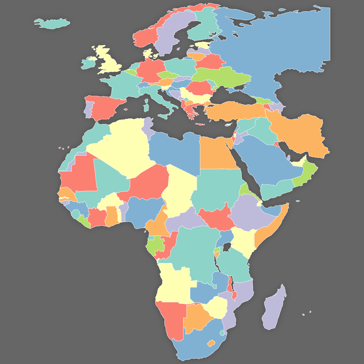
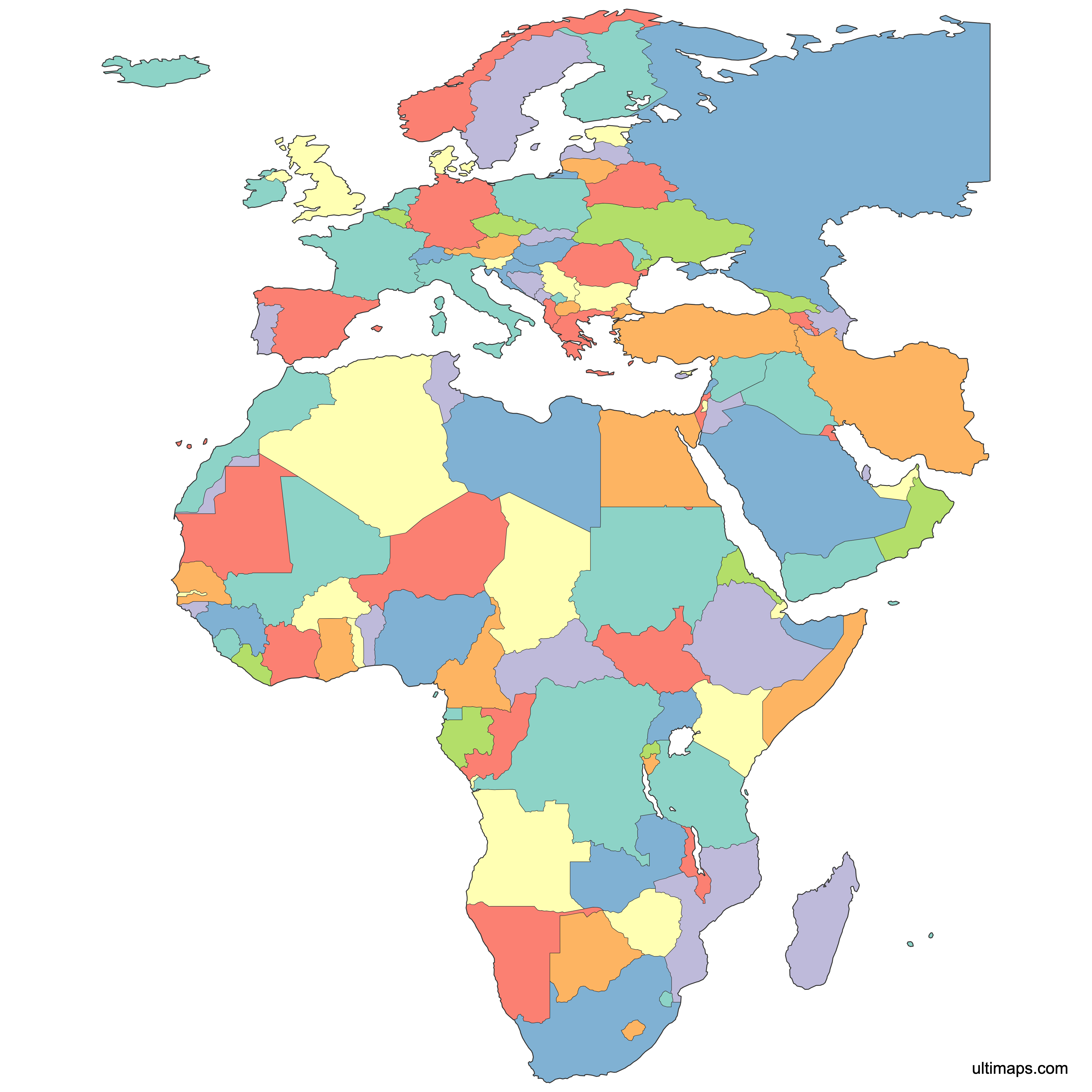
Map of EMEA Countries
Create a custom map of EMEA countries and export your work as a high-resolution SVG, PNG, or PDF file, making it easy to include in your reports, presentations, or websites. You can import data from Excel, Google Sheets, or CSV files to automatically color each country in Europe, the Middle East, and Africa according to your business needs, helping you visualize territories, regional offices, or market data.
Manual coloring tools are available for highlighting specific countries or territories. You can also use the built-in AI to suggest colors based on the data you provide for quick customization.
For interactive applications, you can create a shareable EMEA map to embed on your website, giving users the ability to click or hover on countries for more details and information.
Map Details
This map is divided into 119 countries:
- Åland Islands
- Albania
- Algeria
- Andorra
- Angola
- Armenia
- Austria
- Azerbaijan
- Belarus
- Belgium
- Benin
- Bir Tawil
- Bosnia and Herzegovina
- Botswana
- Bulgaria
- Burkina Faso
- Burundi
- Cameroon
- Central African Republic
- Chad
- Comoros
- Côte d'Ivoire
- Croatia
- Cyprus
- Cyprus U.N. Buffer Zone
Check out the related maps below if you're looking for a different map of the same geographic region.
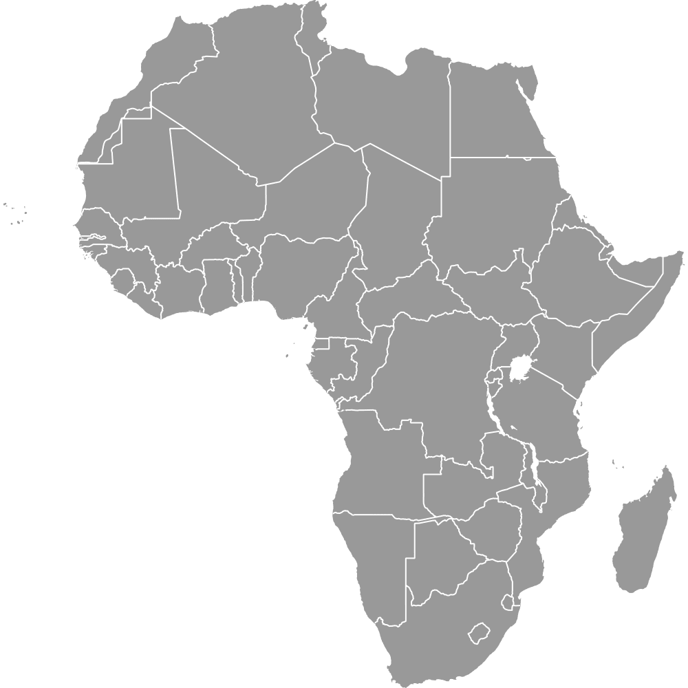
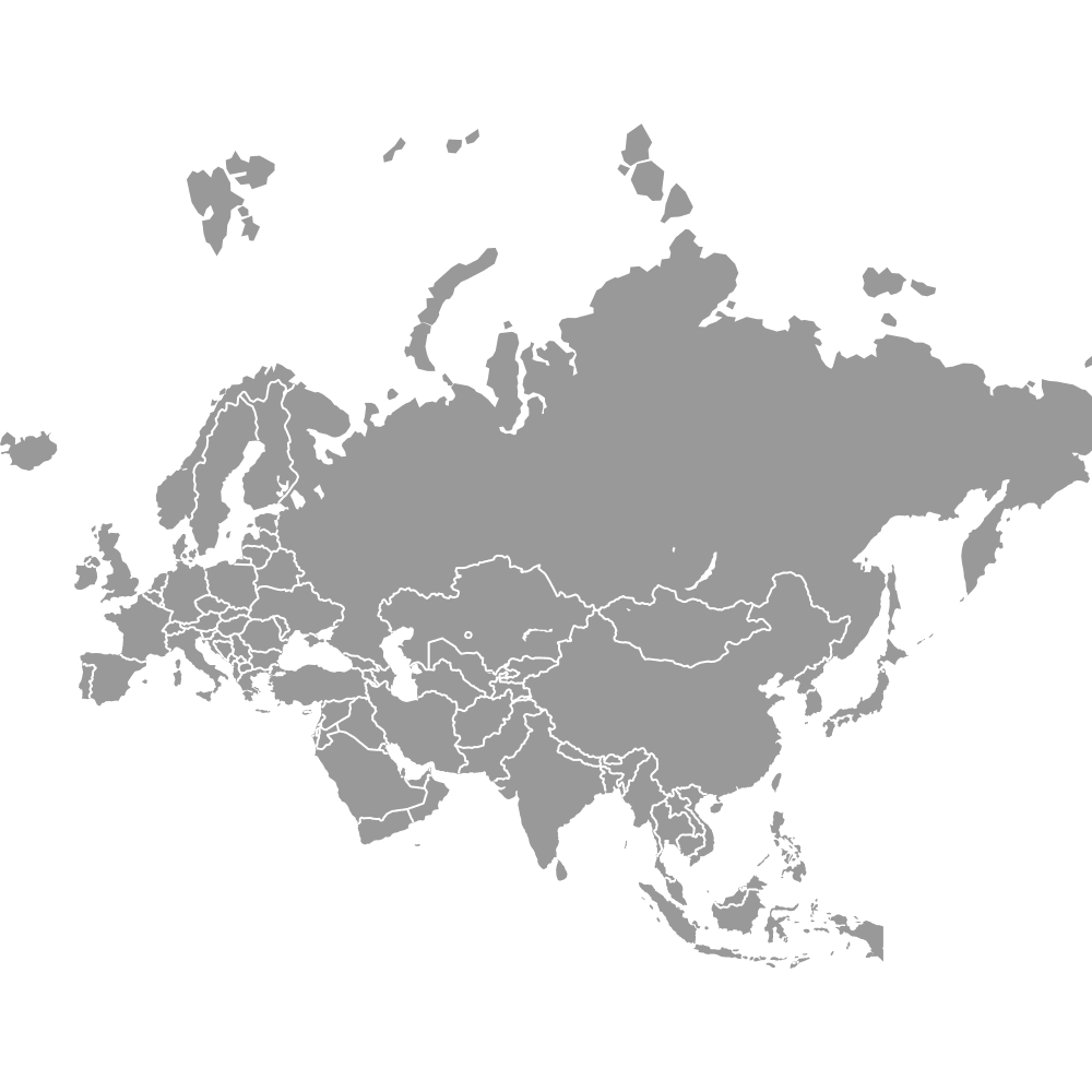
Related Maps
Free Downloads
You can download free blank Map of EMEA Countries and other maps in high resolution PNG, SVG and PDF formats from the blank maps section of the site: Download Blank Map of EMEA Countries
About the EMEA Region Map
EMEA refers to the combined regions of Europe, the Middle East, and Africa. This grouping covers a wide range of countries across three continents, each with distinct administrative divisions, languages, and boundary histories. The map includes all recognized sovereign states as well as select territories for accurate regional visualization and planning.
Key facts about the EMEA countries map:
- Includes every recognized country in Europe, the Middle East, and Africa
- Typically over 100 countries and territories represented
- Used for business purposes such as sales territories, service coverage, and data visualization
- Regional boundaries based on internationally accepted definitions and up-to-date geopolitical data
- Commonly used in global business analysis and reporting
- Countries cover a variety of administrative divisions and governance structures
- Some territories and disputed regions are included to provide a complete picture
- Neighboring regions outside EMEA: Asia-Pacific (APAC) and the Americas
Updates
Oct 24, 2024:
- Added map of EMEA countries