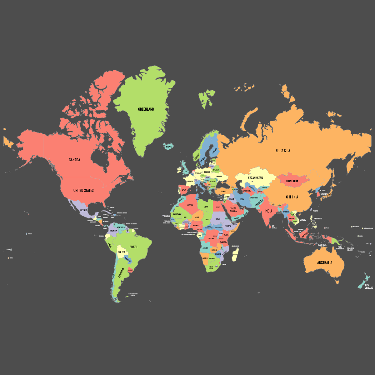
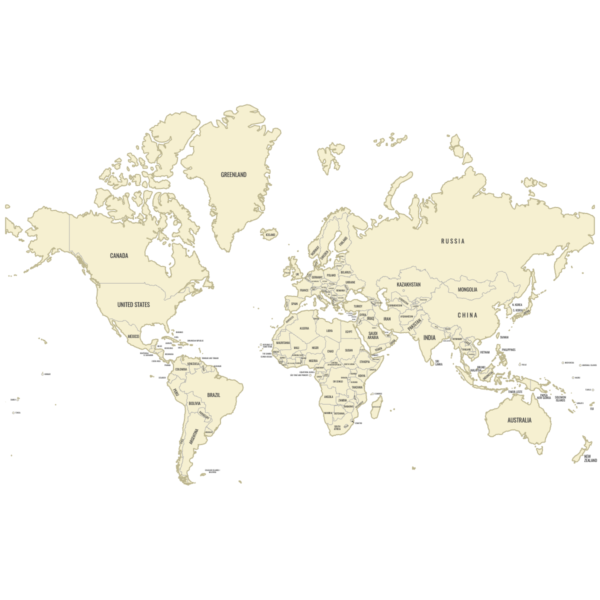
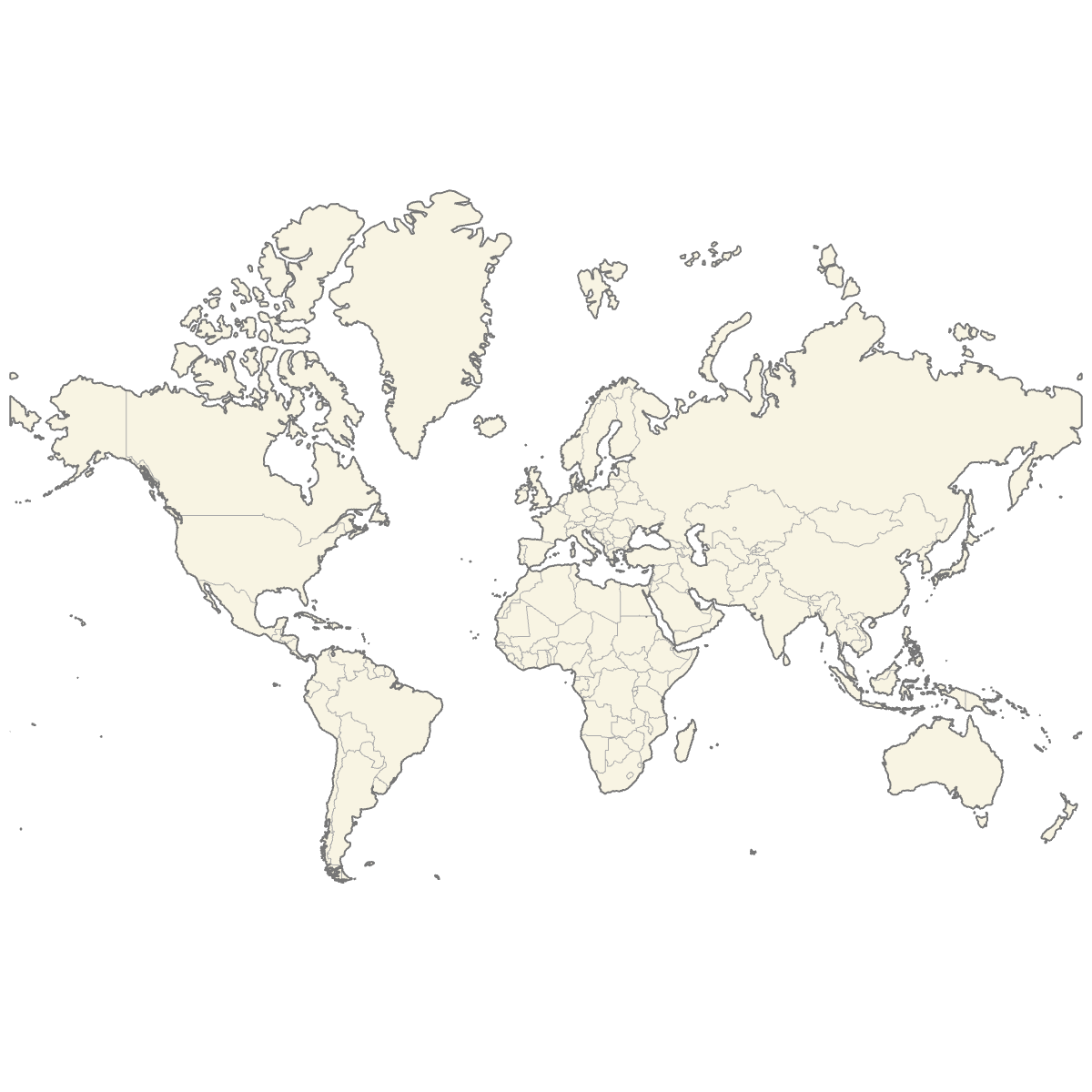
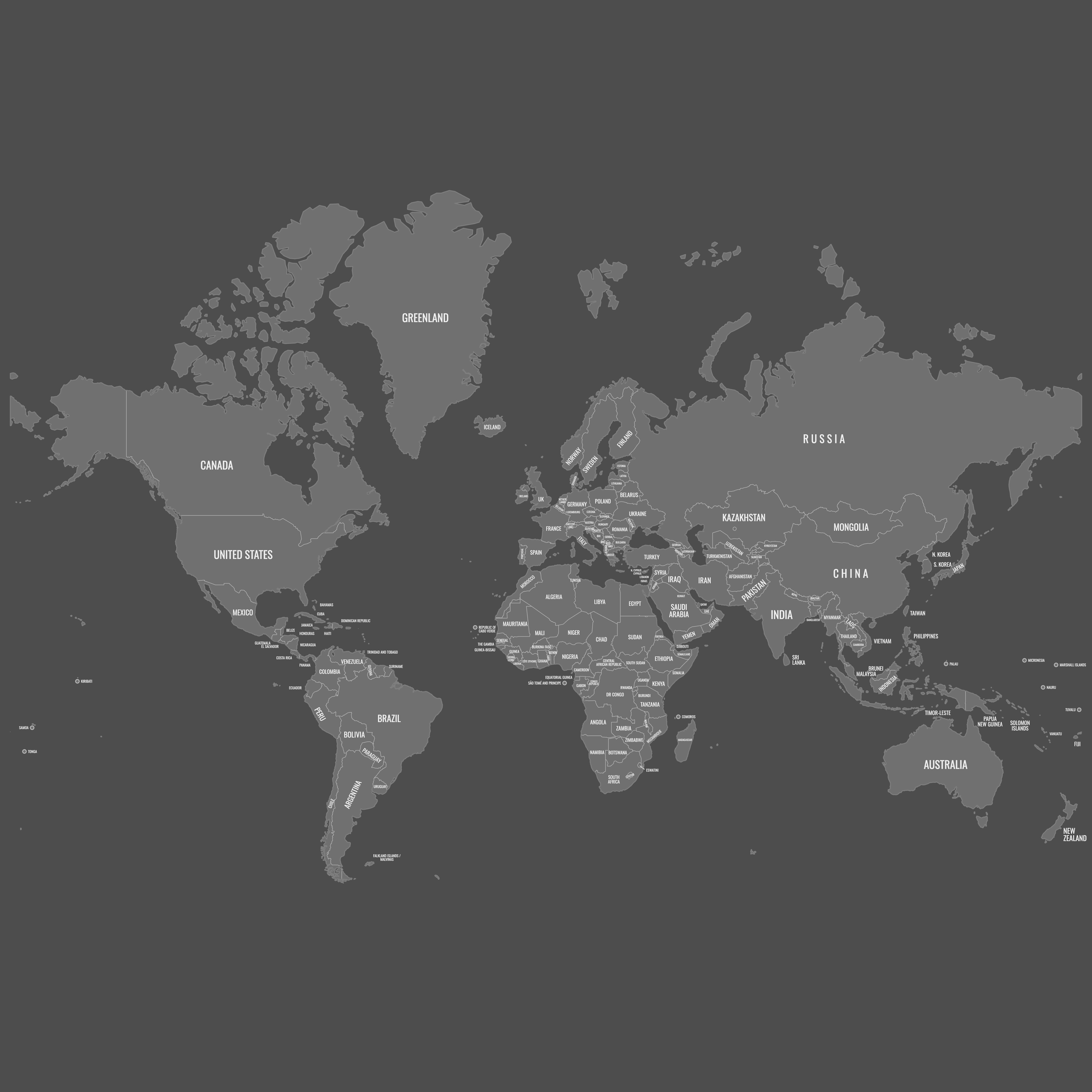
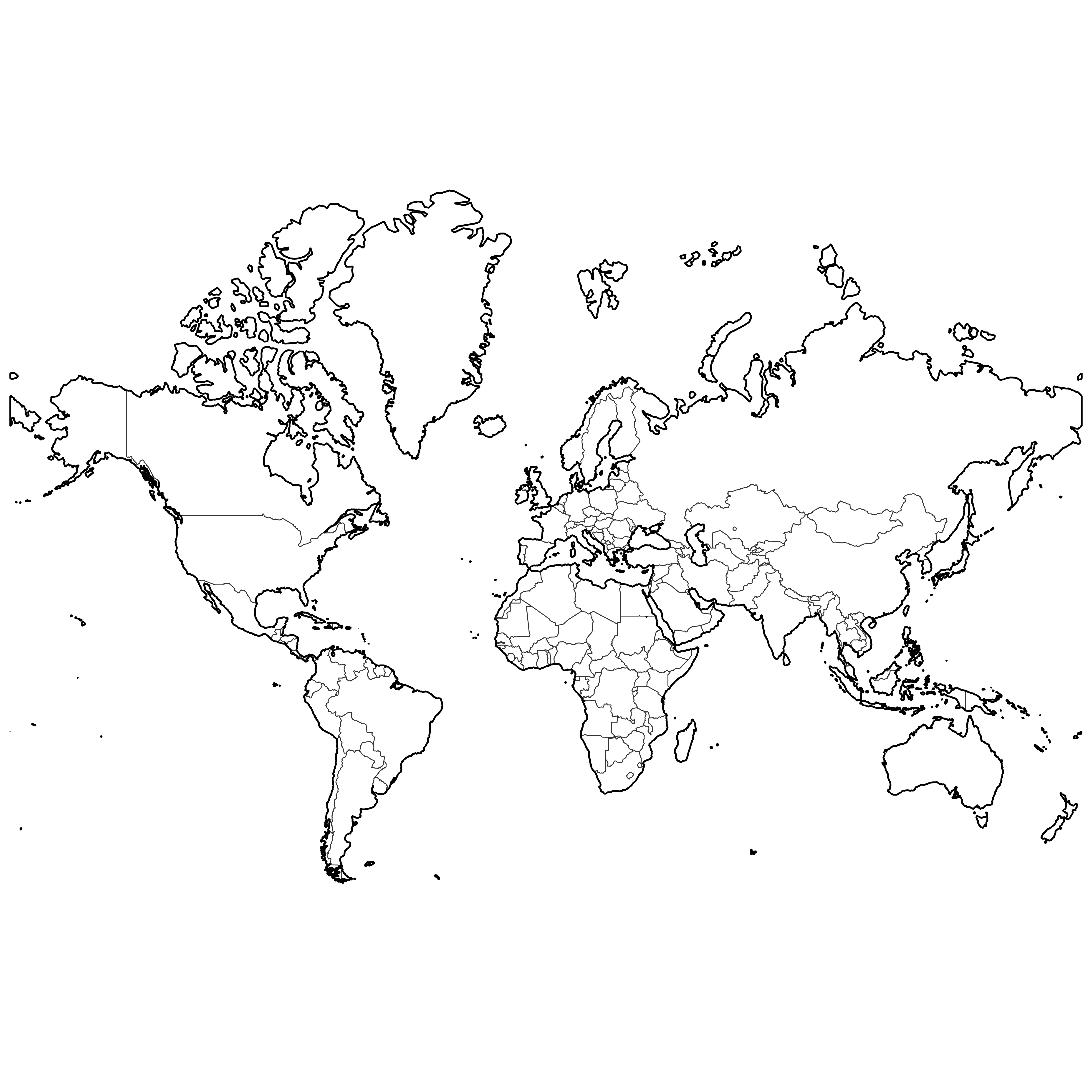
Map of the World
Create a custom map of the World, divided into countries. Perfect for those who wish to print or further customize their maps, you can export them in high-resolution PNG and SVG formats, making them perfect for professional presentations and educational purposes.
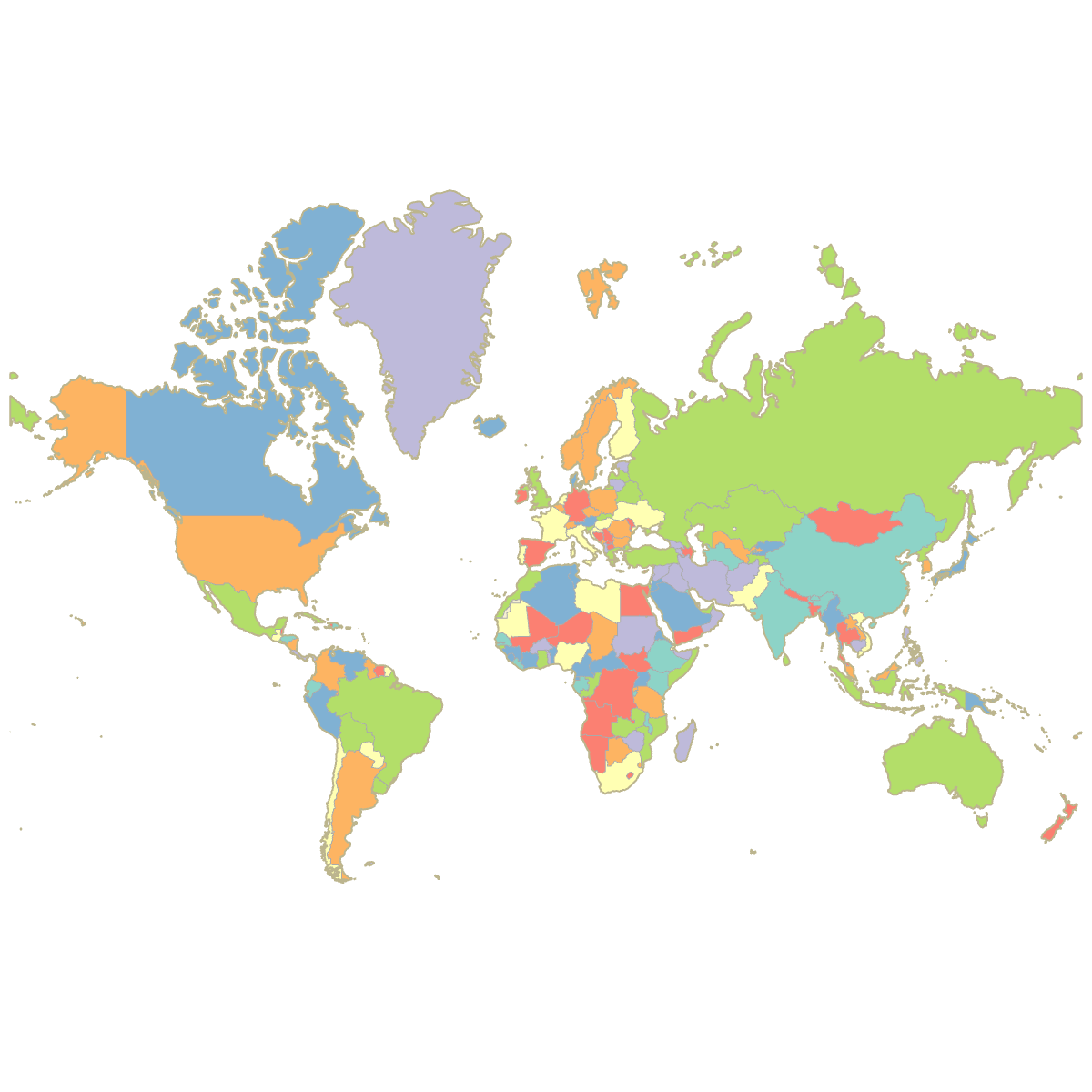
You have the option to fill countries with colors based on data from Excel, Google Sheets, or CSV files, and you can also add markers to highlight specific locations on the map. Alternatively, you can manually color the countries or use our AI for assistance.
For web applications, design an interactive map of the World that offers additional information. Users can explore the map by hovering over or clicking on different countries, making it an excellent tool for online platforms aiming to engage users with comprehensive geographical data.
This World map supports labeled countries.
Map Details
This map supports labels.
This map is divided into 211 countries:
- Afghanistan
- Åland Islands
- Albania
- Algeria
- Andorra
- Angola
- Antigua and Barbuda
- Argentina
- Armenia
- Aruba
- Australia
- Austria
- Azerbaijan
- Bahamas
- Bahrain
- Bangladesh
- Barbados
- Belarus
- Belgium
- Belize
- Benin
- Bhutan
- Bolivia
- Bosnia and Herzegovina
- Botswana
Check out the related maps below if you're looking for a different map of the same geographic region.
Related Maps
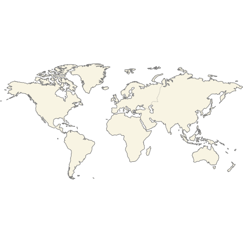
Download Map of the World
Below you can download free printable Map of the World in high resolution PNG or SVG formats.
If you need different colors or features, you can customize this map in Ultimaps Studio.


Updates
Mar 24, 2025:
- Added labeled version of the map of the World
Sep 28, 2023:
- Added map of the World