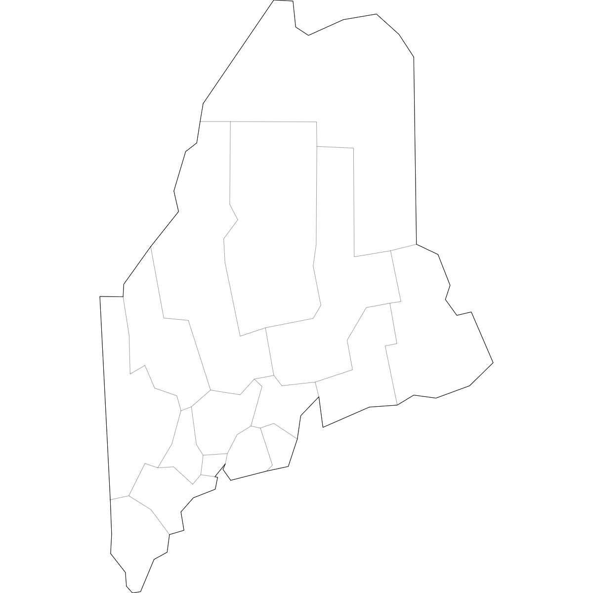
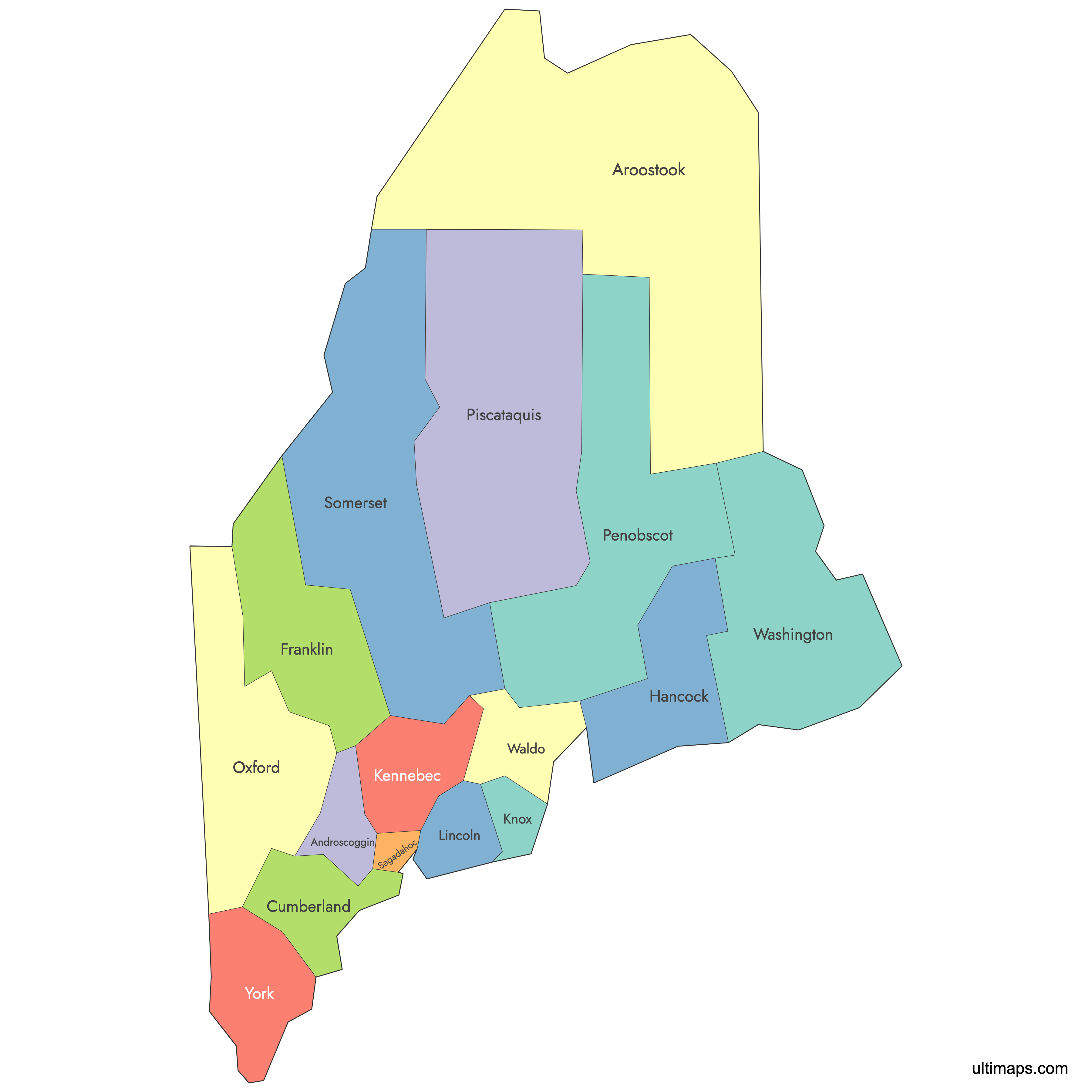
Unstyled Map of Maine Counties With Labels
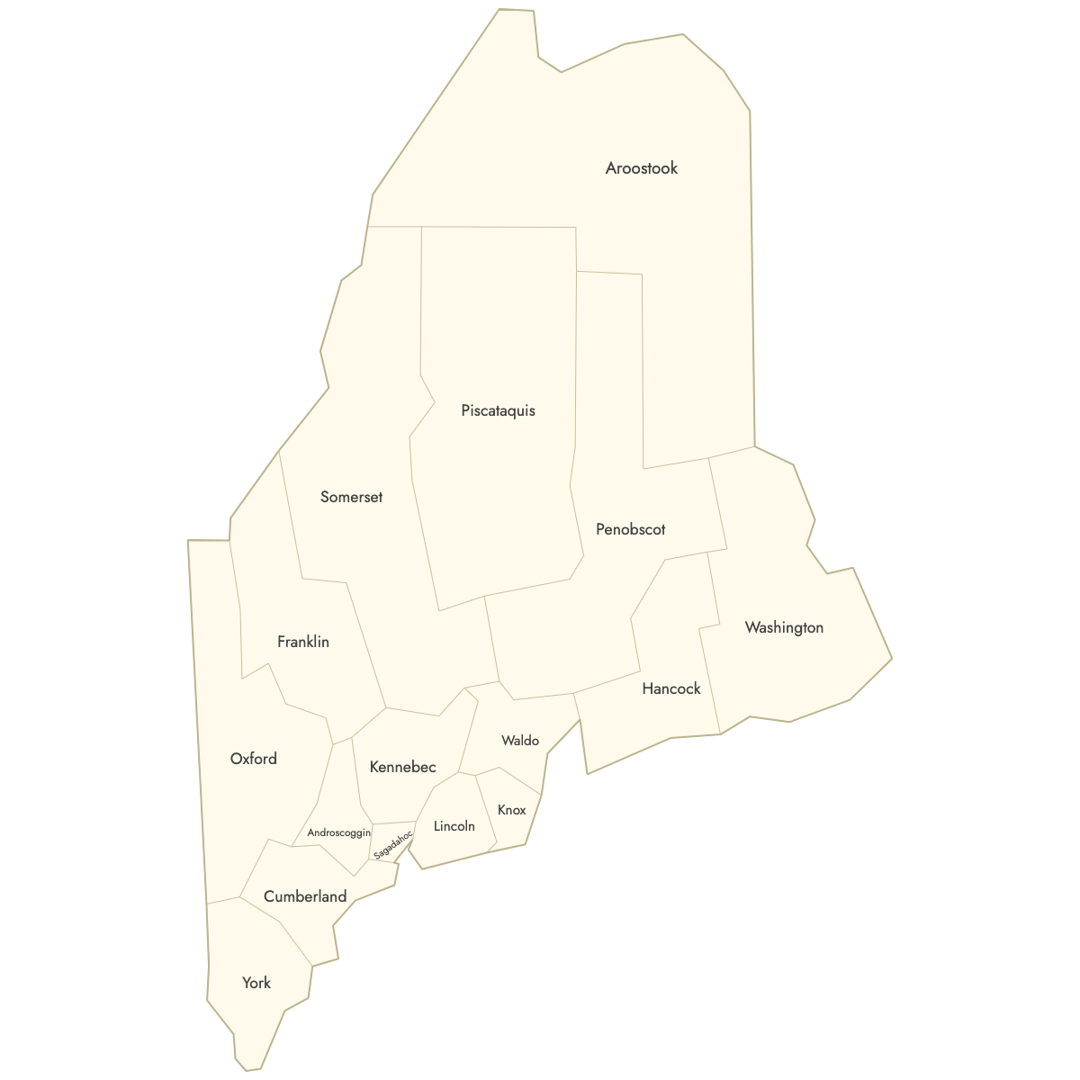
Map of Maine Counties
Create a custom map of Maine counties and export it as a printable format or for use in your publication or presentation.
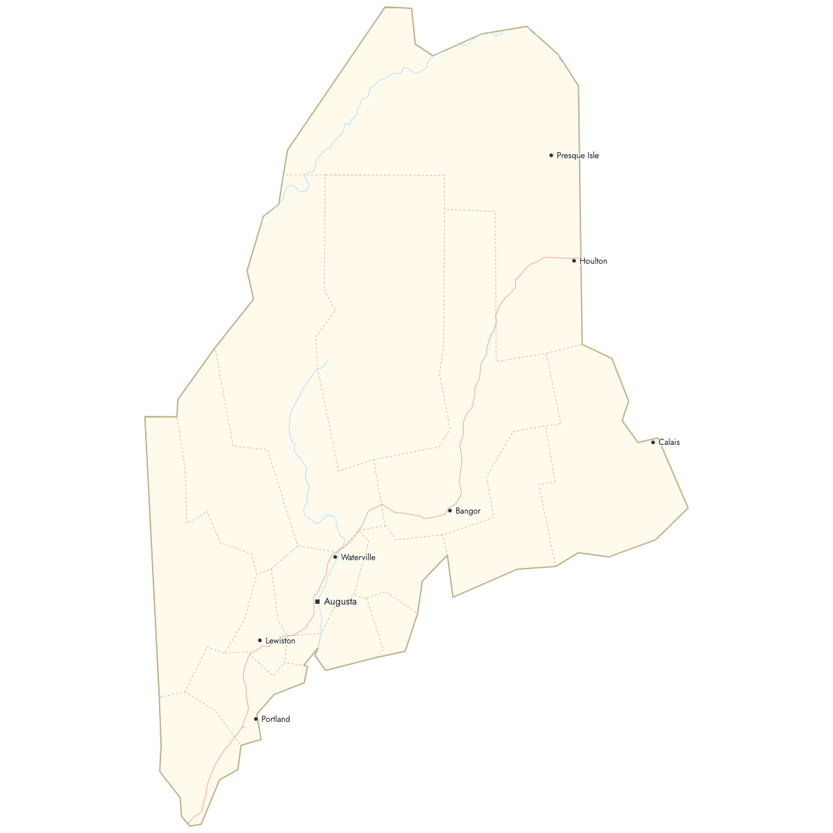
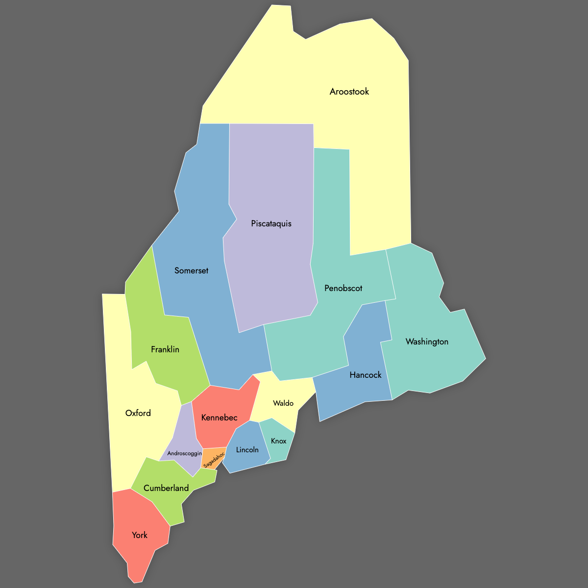
Color counties based on your data and place pins on the map to highlight specific locations.
Alternatively, develop an interactive map to share or embed on your website.
Map Details
This map supports labels.
This map is divided into 16 counties:
- Androscoggin
- Aroostook
- Cumberland
- Franklin
- Hancock
- Kennebec
- Knox
- Lincoln
- Oxford
- Penobscot
- Piscataquis
- Sagadahoc
- Somerset
- Waldo
- Washington
- York
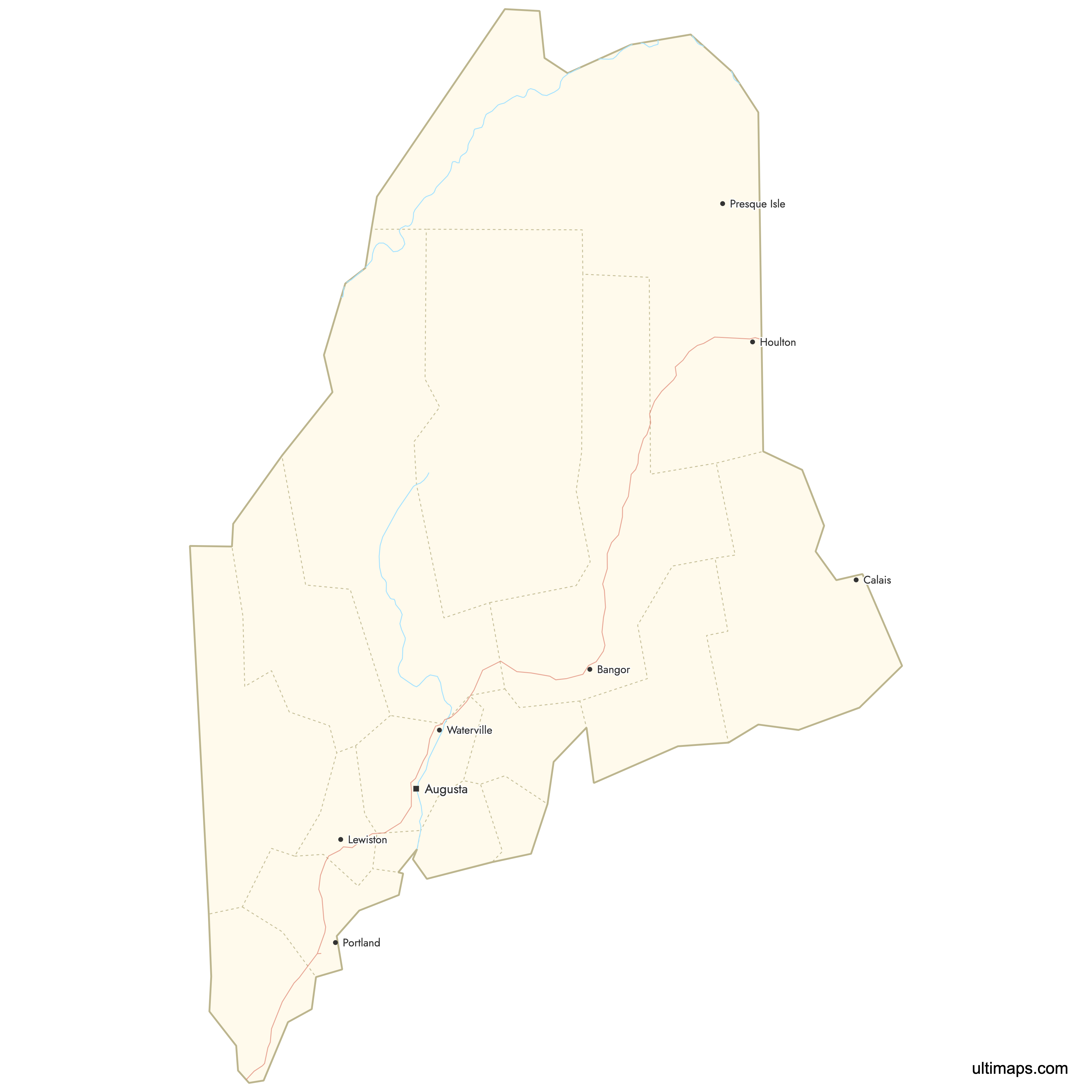
Check out the related maps below if you're looking for a different map of the same geographic region.
Related Maps


Free Downloads
You can download free blank Map of Maine Counties and other maps in high resolution PNG, SVG and PDF formats from the blank maps section of the site: Download Blank Map of Maine Counties
Updates
Aug 26, 2024:
- Added map of Maine Counties