Map of Mississippi Counties
Mississippi is divided into 82 counties, serving as key administrative units. Use the interactive maps below to explore the counties and their boundaries. Download free maps or learn more about creating a custom map of Mississippi to visualize your own data.
Interactive Map of Mississippi Counties
List of Counties (82)
| # | County |
|---|---|
| 1 | |
| 2 | |
| 3 | |
| 4 | |
| 5 | |
| 6 | |
| 7 | |
| 8 | |
| 9 | |
| 10 | |
| 11 | |
| 12 | |
| 13 | |
| 14 | |
| 15 | |
| 16 | |
| 17 | |
| 18 | |
| 19 | |
| 20 | |
| 21 | |
| 22 | |
| 23 | |
| 24 | |
| 25 | |
| 26 | |
| 27 | |
| 28 | |
| 29 | |
| 30 | |
| 31 | |
| 32 | |
| 33 | |
| 34 | |
| 35 | |
| 36 | |
| 37 | |
| 38 | |
| 39 | |
| 40 | |
| 41 | |
| 42 | |
| 43 | |
| 44 | |
| 45 | |
| 46 | |
| 47 | |
| 48 | |
| 49 | |
| 50 | |
| 51 | |
| 52 | |
| 53 | |
| 54 | |
| 55 | |
| 56 | |
| 57 | |
| 58 | |
| 59 | |
| 60 | |
| 61 | |
| 62 | |
| 63 | |
| 64 | |
| 65 | |
| 66 | |
| 67 | |
| 68 | |
| 69 | |
| 70 | |
| 71 | |
| 72 | |
| 73 | |
| 74 | |
| 75 | |
| 76 | |
| 77 | |
| 78 | |
| 79 | |
| 80 | |
| 81 | |
| 82 |
Mississippi Counties: Key Facts
- Total number of counties: 82
- Largest county by area: Yazoo County - 933.9 square miles (2,419 km²)
- Smallest county by area: Alcorn County - 401.3 square miles (1,039 km²)
- Most populous county: Hinds County with 215,377 residents
- Least populous county: Issaquena County with 1,406 residents
- Counties with significant urban centers: Hinds (Jackson), Harrison (Gulfport, Biloxi), DeSoto (Southaven, Olive Branch), Rankin (Brandon, Pearl)
- Average county land area: 591 square miles (1,530 km²)
- Neighboring states: Alabama, Tennessee, Arkansas, Louisiana
- Time zone: Central Time Zone
Interesting Facts
- First counties: Adams and Pickering (now Jefferson) established in 1799
- Last new county: Stone County created in 1916
- 19 counties have names derived from Native American languages
- Bolivar, Chickasaw, Jasper, Panola, Tallahatchie, Yalobusha counties have two county seats due to historical travel and political reasons.
Free Downloads
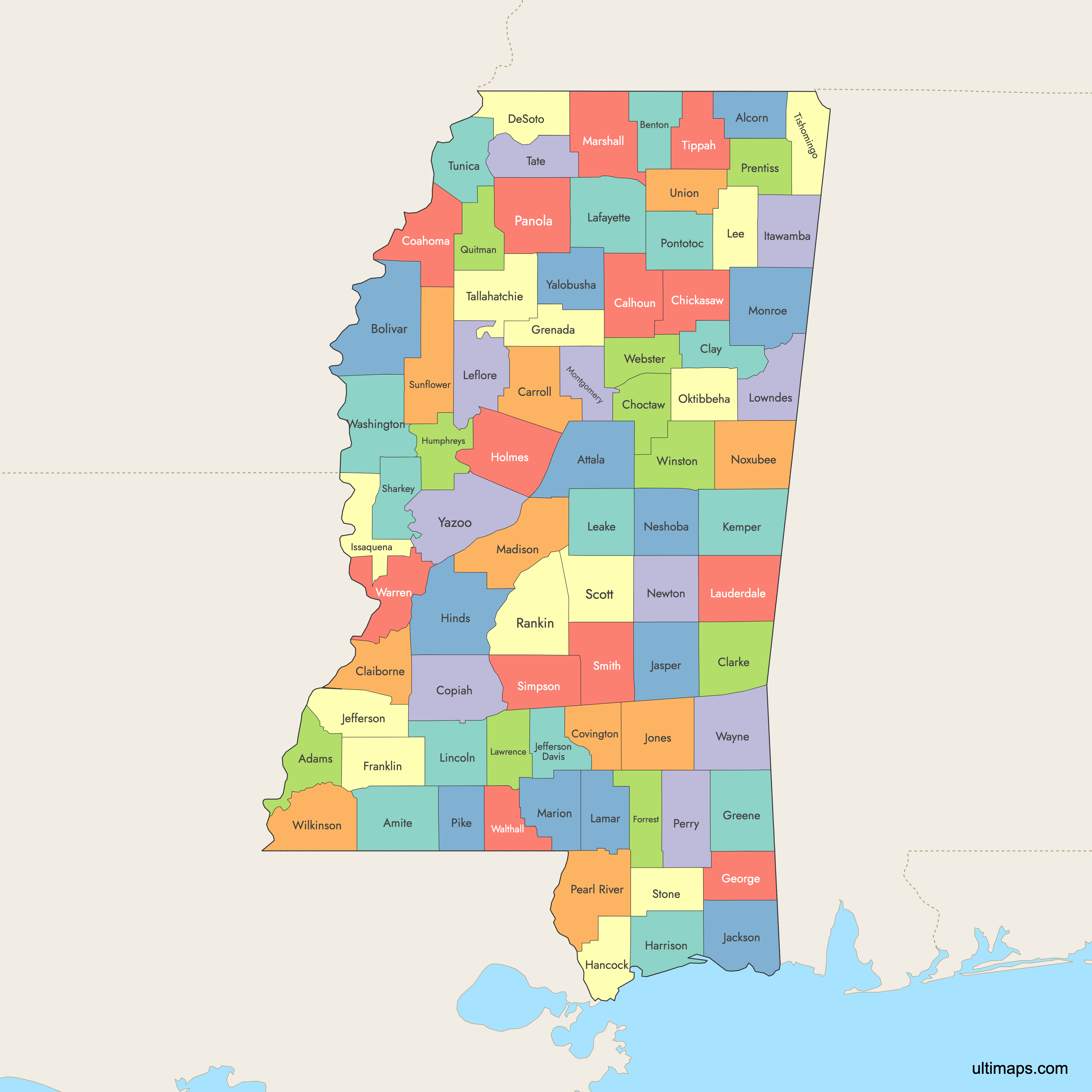
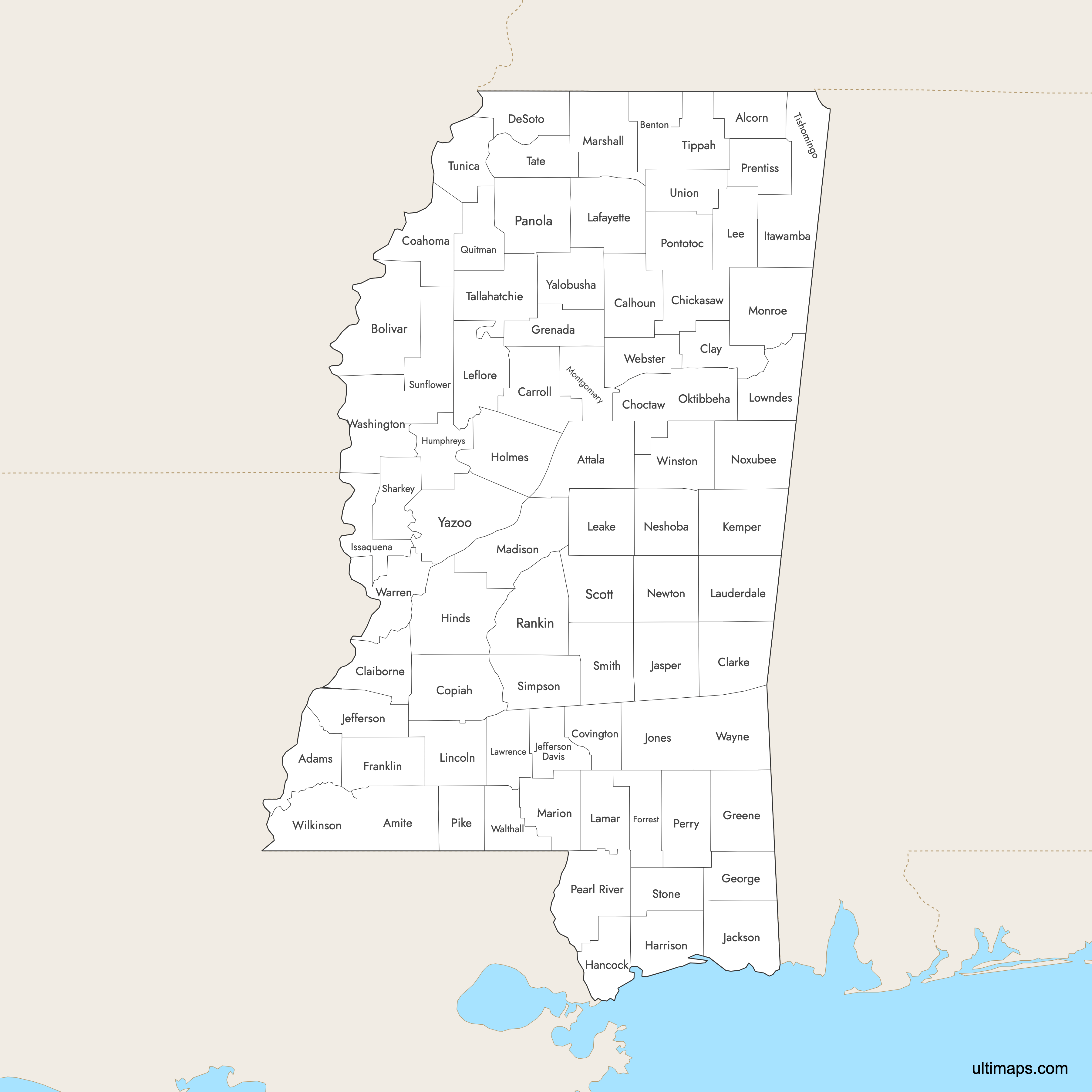
 Colored Map of Mississippi Counties with Surrounding Areaspng685 KB
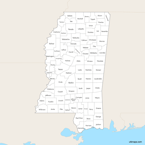 Labeled Map of Mississippi Counties with Surrounding Areaspng670 KB
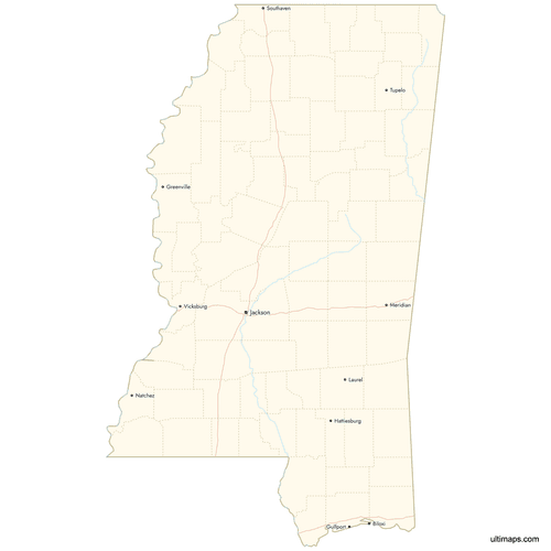 Map of Mississippi Counties with Citiespng545 KB

You can download free blank Map of Mississippi Counties and other maps in high resolution PNG, SVG and PDF formats from the blank maps section of the site: Download Blank Map of Mississippi Counties
Custom Map Features
This map supports labels.
This map supports surrounding areas, roads, rivers and cities. New
This map is divided into 82 counties.
Updates
Aug 14, 2025:
- Improved map quality
- Added support for surrounding areas and lakes
Aug 26, 2024:
- Added map of Mississippi Counties
Frequently Asked Questions
Mississippi has 82 counties, established between 1799 and 1916.
Yazoo County is the largest, covering 933.9 square miles (2,419 km²).
Alcorn County is the smallest, with an area of 401.3 square miles (1,039 km²).
Hinds County is the most populous, with 215,377 residents as of the 2020 Census.
Issaquena County has the smallest population, with 1,406 residents as of the 2020 Census.
Bolivar, Chickasaw, Jasper, Panola, Tallahatchie, and Yalobusha counties have two county seats due to historical travel and political reasons.
You can use Ultimaps to create custom maps of Mississippi. Color-code counties manually or upload data, place pins, customize look and feel, and export to PNG, PDF or SVG.
Mississippi borders Alabama, Tennessee, Arkansas, and Louisiana.


