Map of Vermont Counties
Vermont is divided into 14 counties. Use the interactive maps below to explore these counties and their boundaries. Download free maps or learn more about creating a custom map of Vermont to visualize your data.
Interactive Map of Vermont Counties
List of Counties (14)
| # | County | County seat | Year founded |
|---|---|---|---|
| 1 | Middlebury | 1785 | |
| 2 | Bennington | 1779 | |
| 3 | St. Johnsbury | 1792 | |
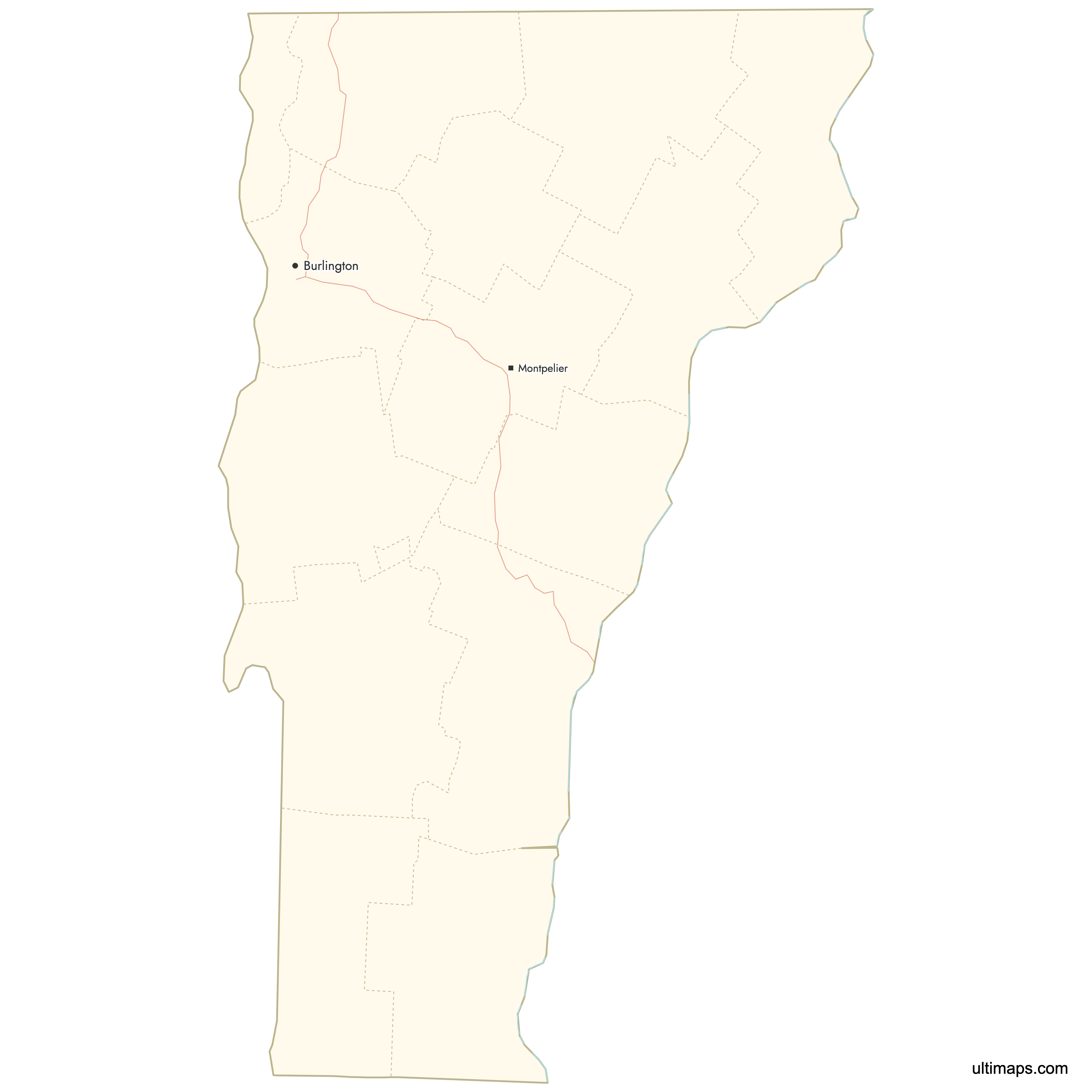
| 4 | Burlington | 1787 | |
| 5 | Guildhall | 1792 | |
| 6 | St. Albans | 1792 | |
| 7 | North Hero | 1802 | |
| 8 | Hyde Park | 1835 | |
| 9 | Chelsea | 1781 | |
| 10 | Newport | 1792 | |
| 11 | Rutland | 1781 | |
| 12 | Montpelier | 1810 | |
| 13 | Newfane | 1779 | |
| 14 | Woodstock | 1781 |
Vermont Counties: Key Facts
- Total number of counties: 14
- Total local units: 255 (237 towns, 10 cities, 5 unincorporated towns, 4 gores)
- Largest county by area: Windsor County - 977 square miles (2,530 km²)
- Smallest county by area: Grand Isle County - 194.7 square miles (504 km²)
- Most populous county: Chittenden County (Burlington)
- Least populous county: Essex County
- Neighboring states/country: New York, New Hampshire, Massachusetts, and Canada (Québec)
- Time zone: Eastern Time Zone (ET)
Interesting Facts
- Island county: Grand Isle County consists mostly of islands in Lake Champlain, with 58.0% water.
- Capital vs. population: Montpelier, the state capital, is one of the smallest U.S. state capitals by population.
- High water share counties: Along with Grand Isle, Chittenden (13.4%) and Franklin (8.4%) have significant water areas.
Free Downloads
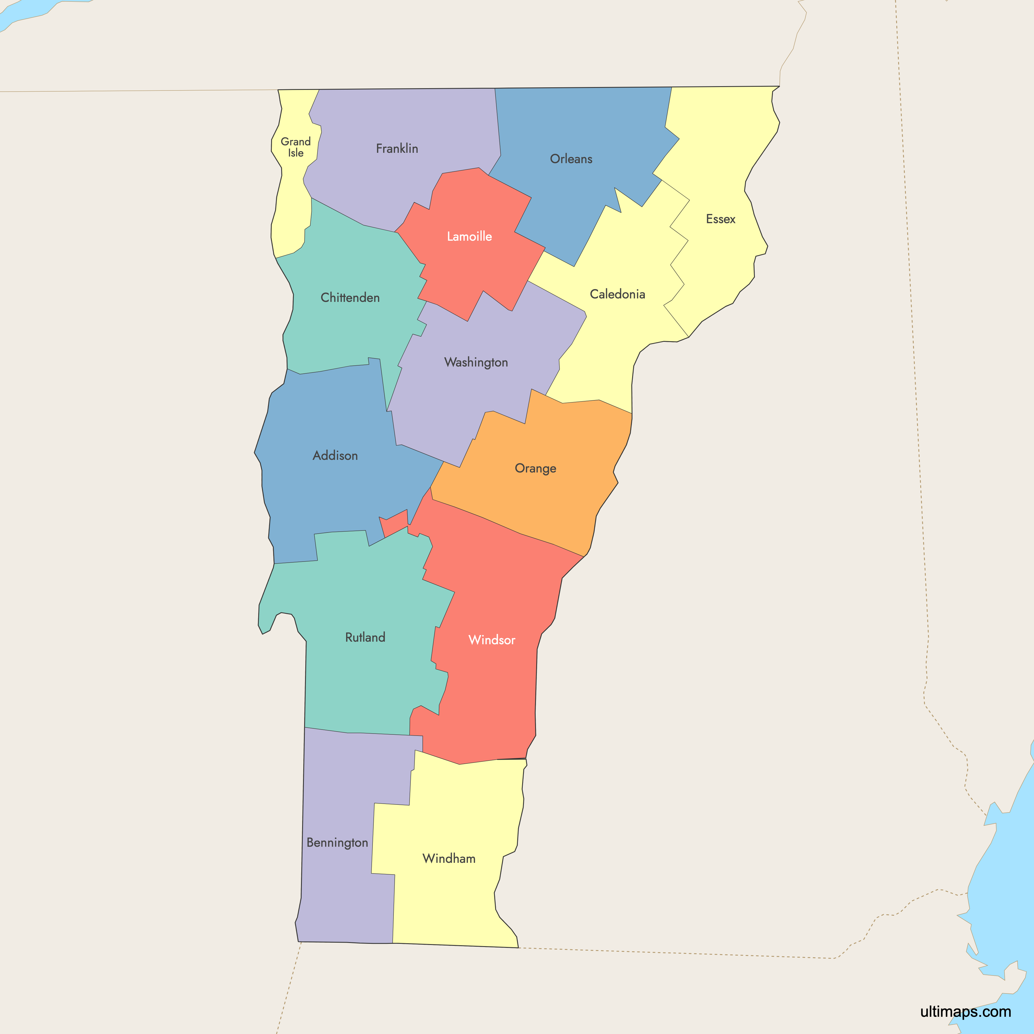
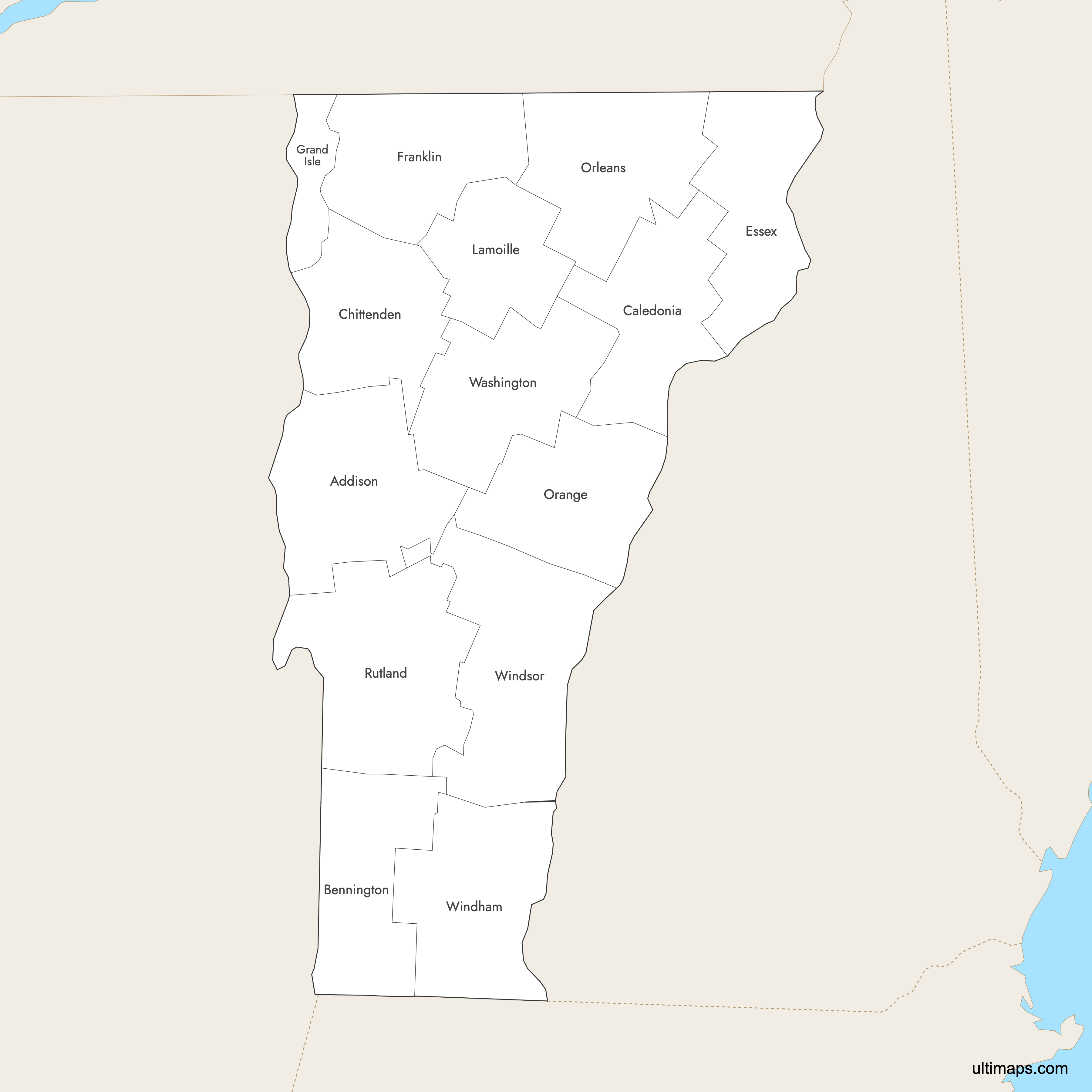
 Colored Map of Vermont Counties with Surrounding Areaspng447 KB
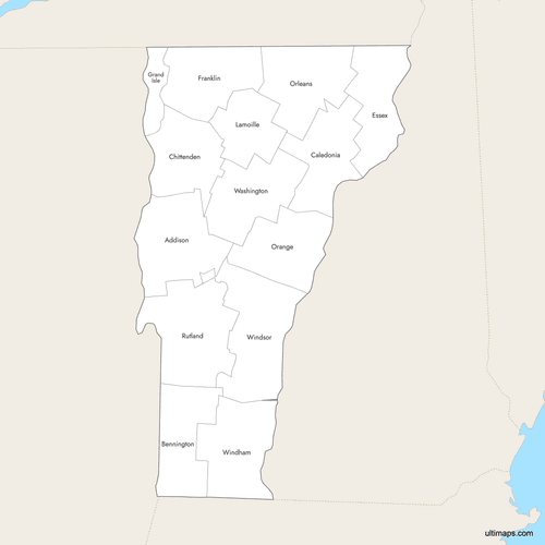 Labeled Map of Vermont Counties with Surrounding Areaspng441 KB
 Map of Vermont Counties with Citiespng383 KB
You can download free blank Map of Vermont Counties and other maps in high resolution PNG, SVG and PDF formats from the blank maps section of the site: Download Blank Map of Vermont Counties
Custom Map Features
This map supports labels.
This map supports surrounding areas, roads, rivers and cities. New
This map is divided into 14 counties.
Updates
Oct 2, 2025:
- Improved map quality
- Added support for surrounding areas and lakes
Aug 26, 2024:
- Added map of Vermont Counties
Frequently Asked Questions
Vermont has 14 counties, each serving as a primary local jurisdiction below the state level. They collectively contain 255 local units: 237 towns, 10 cities, 5 unincorporated towns, and 4 gores.
The largest county by total area is Windsor County, with 977 square miles (2,530 km²). The smallest is Grand Isle County, with 194.7 square miles (504 km²); only 42.0% is land and 58.0% is water.
Most populous county: Chittenden County, containing Burlington, Vermont’s largest city (about 45,000 residents). Least populous county: Essex County, located in the far northeast.
Addison County: Middlebury, Bennington County: Bennington and Manchester, Caledonia County: St. Johnsbury, Chittenden County: Burlington, Essex County: Guildhall, Franklin County: St. Albans, Grand Isle County: North Hero, Lamoille County: Hyde Park, Orange County: Chelsea, Orleans County: Newport, Rutland County: Rutland, Washington County: Montpelier, Windham County: Newfane, Windsor County: Woodstock.
Vermont’s outer county boundaries touch New York to the west, New Hampshire to the east, Massachusetts to the south, and Québec, Canada to the north.
You can use Ultimaps to create custom maps of Vermont. Color-code counties manually or upload data, place pins, customize the look and feel, and export to PNG, PDF, or SVG.


