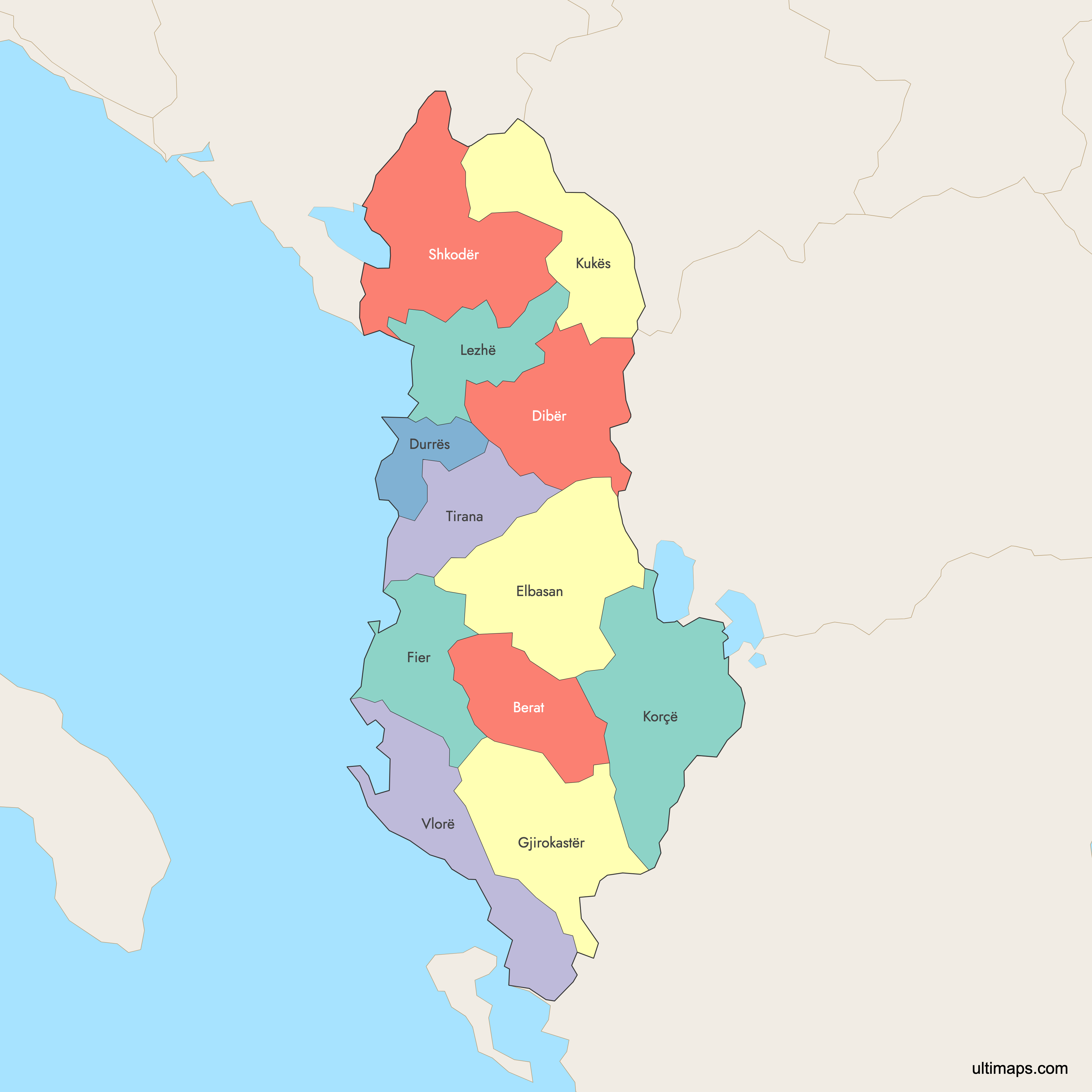
Map of Albania Counties
Albania is divided into 12 counties (qarqe), the first-level administrative units established in 2000 and ranging from tiny coastal Durrës to the mountainous expanse of Korçë. Together they cover the entire country, from the Adriatic and Ionian shores to the Albanian Alps and the Greek border. Explore the map below, download a free reference version, or create your own custom map of Albania.
Interactive Map of Albania Counties
List of Counties (12)
| # | County |
|---|---|
| 1 | |
| 2 | |
| 3 | |
| 4 | |
| 5 | |
| 6 | |
| 7 | |
| 8 | |
| 9 | |
| 10 | |
| 11 | |
| 12 |
Free Downloads
 Colored Map of Albania Counties with Surrounding Areaspng547 KB
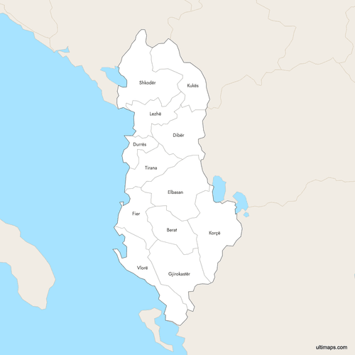 Labeled Map of Albania Counties with Surrounding Areaspng544 KB
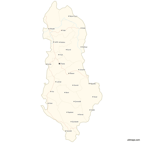 Map of Albania Counties with Citiespng537 KB
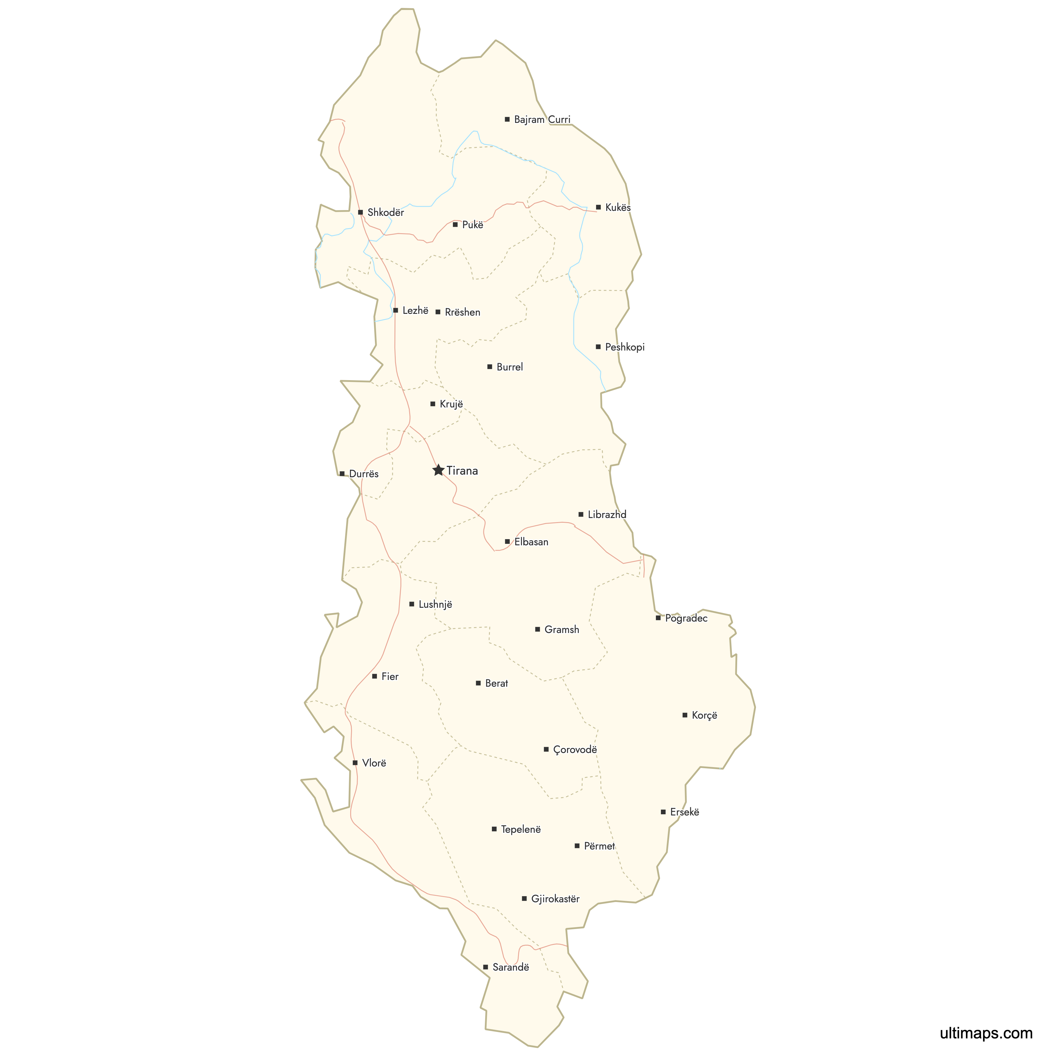

You can download free blank Map of Albania Counties and other maps in high resolution PNG, SVG and PDF formats from the blank maps section of the site: Download Blank Map of Albania Counties
Custom Map Features
This map supports labels.
This map supports surrounding areas, roads, rivers and cities. New
This map is divided into 12 counties.
Updates
May 14, 2026:
- Added map of Albania Counties with surrounding countries, cities, roads, rivers and lakes
Frequently Asked Questions
Albania has 12 counties (qarqe), which form the country's first-level administrative divisions. They were established in 2000 under the 1998 constitution and are subdivided into 61 municipalities, 373 administrative units, and 2,972 villages following the 2015 territorial reform.
Korçë County is the largest by area at 3,711 km², located in southeastern Albania and bordering Greece and North Macedonia. Shkodër (3,562 km²) and Elbasan (3,199 km²) are the next largest. The smallest county is Durrës at just 766 km².
Tirana County is by far the most populated, with about 758,513 residents (2023), home to the capital city of Tirana. Fier (240,377) and Elbasan (232,580) follow. The least populated county is Gjirokastër with only around 60,013 inhabitants.
Most counties take their name from their capital city: Berat, Durrës, Elbasan, Fier, Gjirokastër, Korçë, Kukës, Lezhë, Shkodër, Tirana, and Vlorë all share names with their seats. The exception is Dibër County, whose capital is Peshkopi.
Since the 2015 territorial reform, the 12 counties are subdivided into 61 municipalities (bashkitë), which are further divided into 373 administrative units (formerly communes) and 2,972 villages. Counties are overseen by prefects appointed by the Council of Ministers, while municipalities elect their own mayors and councils every four years.
The current 12-county system was implemented on July 31, 2000, based on the 1998 constitution. Since declaring independence in 1912, Albania has reorganized its domestic administrative divisions 21 times, with major changes including the 1928 prefecture system under King Zog and the communist-era districts before the modern reforms.
You can use Ultimaps to create custom maps of Albania. Color-code counties manually or upload your data, place pins, customize the look and feel, and export to PNG, PDF, or SVG. No sign-up required.