Map of Belgium Provinces
Create a custom map of Belgium divided by its provinces, and export your map as a high-resolution PNG or SVG, suitable for use in documents or online presentations. You can import data from Excel, Google Sheets, or CSV files to quickly apply specific colors to each province, helping you visualize regions for sales territories, service areas, or statistical data. Add pins to highlight cities or important locations throughout Belgium.
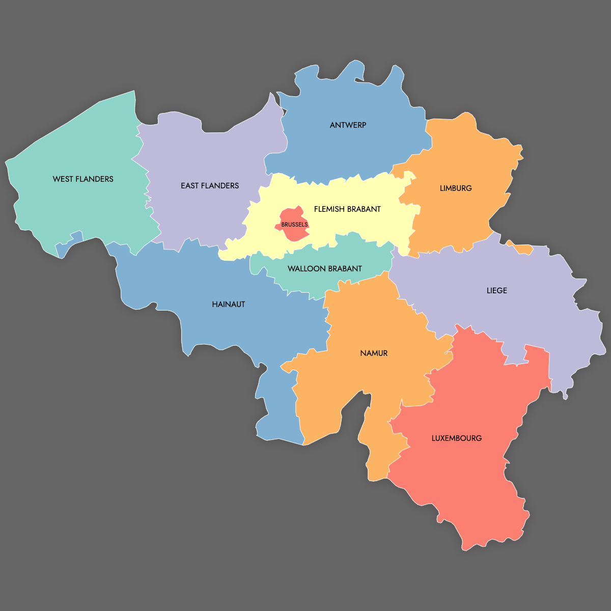
Manual coloring lets you emphasize certain provinces directly on the map, while the integrated AI can help suggest color assignments based on your imported data. If you want an interactive map, you can build one for your website where viewers can click or hover over each province to view more details or data points.
Map Details
This map supports labels.
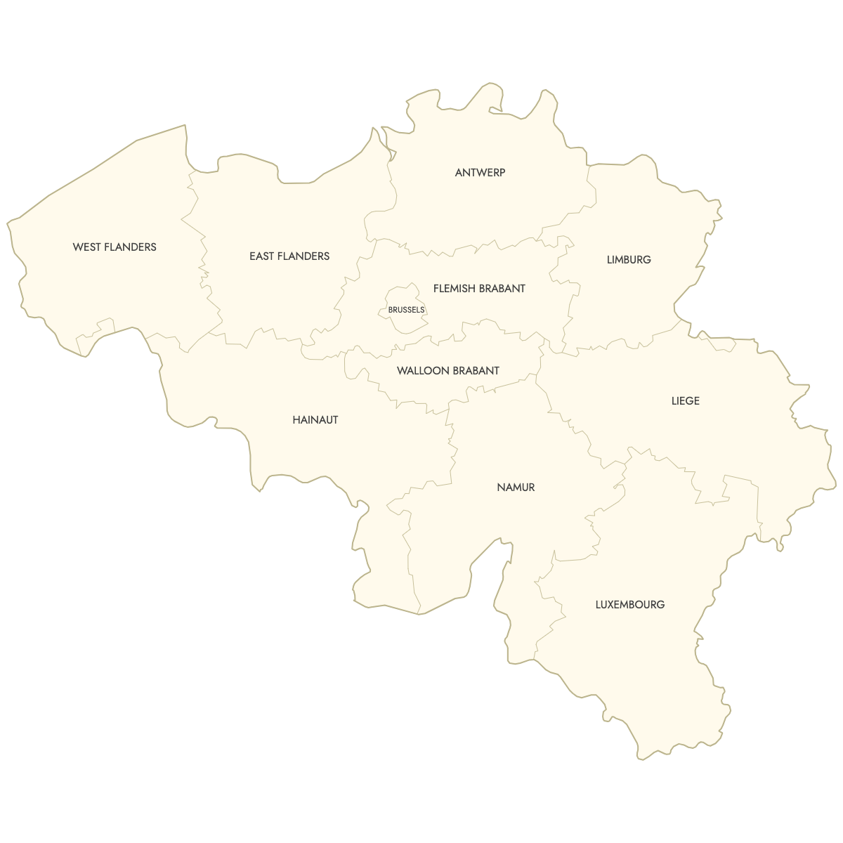
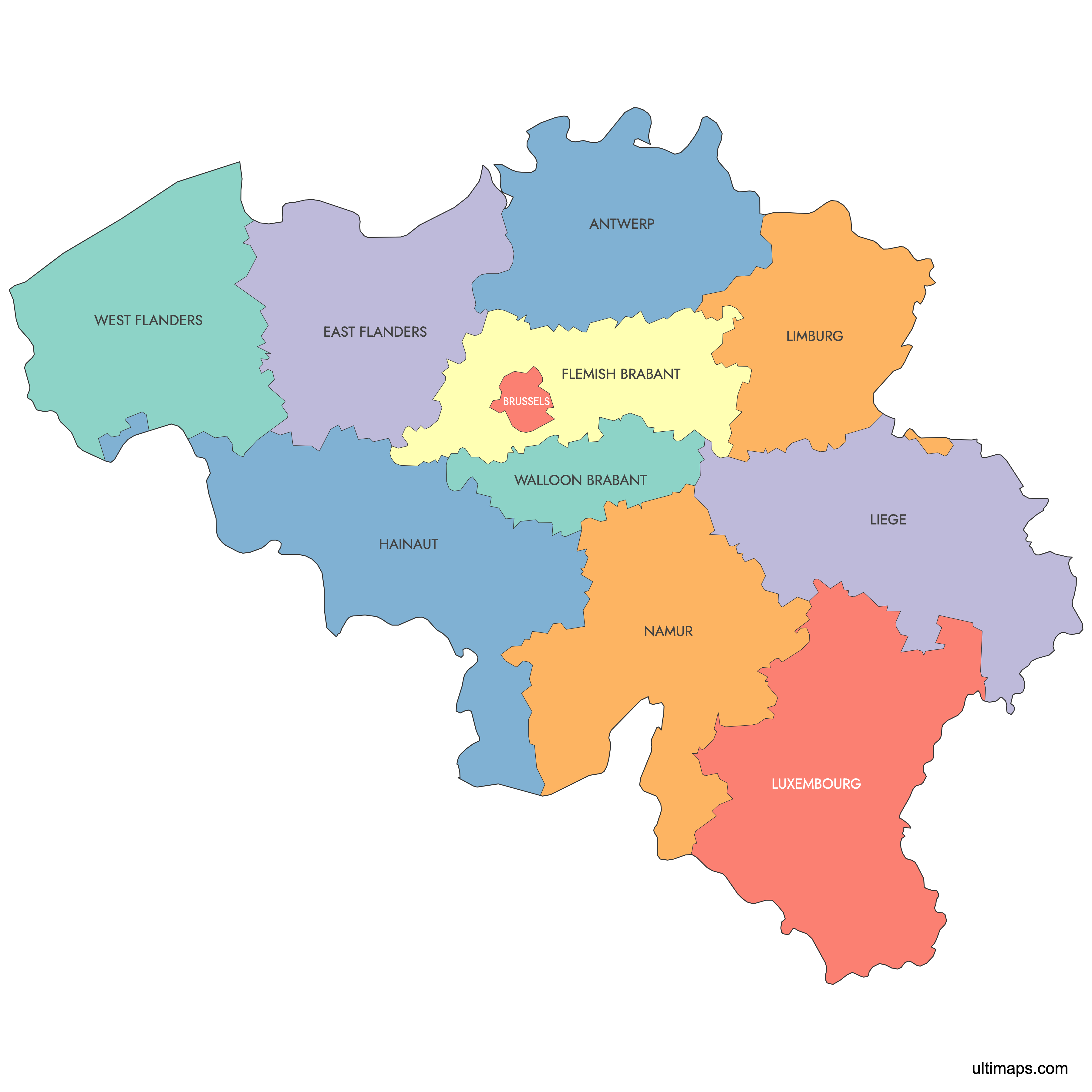
This map is divided into 11 provinces:
- Antwerp
- Brussels
- East Flanders
- Flemish Brabant
- Hainaut
- Liege
- Limburg
- Luxembourg
- Namur
- Walloon Brabant
- West Flanders
Check out the related maps below if you're looking for a different map of the same geographic region.
Related Maps

Free Downloads
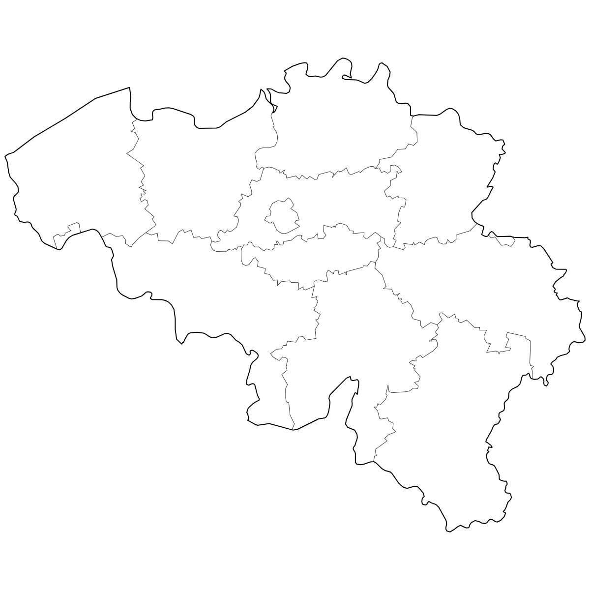
You can download free blank Map of Belgium Provinces and other maps in high resolution PNG, SVG and PDF formats from the blank maps section of the site: Download Blank Map of Belgium Provinces
About the Belgium Provinces Map
Belgium is divided into ten provinces, which serve as the main administrative divisions outside of the Brussels Capital Region. The provinces are grouped into the Flemish and Walloon regions, each reflecting cultural and linguistic distinctions in the country. Belgian provinces have defined boundaries that have been stable since the mid-1990s, following the administrative reforms that separated the Brussels Capital Region.
Key facts about the Belgium provinces map:
- Number of provinces: 10
- Provinces in Flanders: Antwerp, Limburg, East Flanders, Flemish Brabant, West Flanders
- Provinces in Wallonia: Walloon Brabant, Hainaut, Liège, Luxembourg, Namur
- The Brussels Capital Region is not part of any province
- Largest province by area: Luxembourg
- Most populous province: Antwerp
- Capital cities: Each province has its own capital, such as Antwerp for the Antwerp province and Namur for Namur
- Belgium shares borders with France, Germany, Luxembourg, and the Netherlands
Updates
Jun 16, 2025:
- Added map of Belgium Provinces