Map of Lithuania Counties
Create a custom map of Lithuania divided by its counties, and export your map as a printable PNG, SVG, or PDF for use in documents and reports. You can import data from Excel, Google Sheets, or CSV files to automatically color each county according to your needs, making it easy to visualize regional differences or highlight key areas.
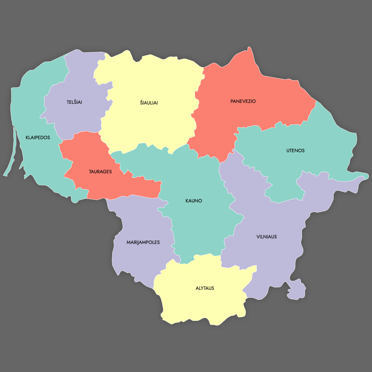
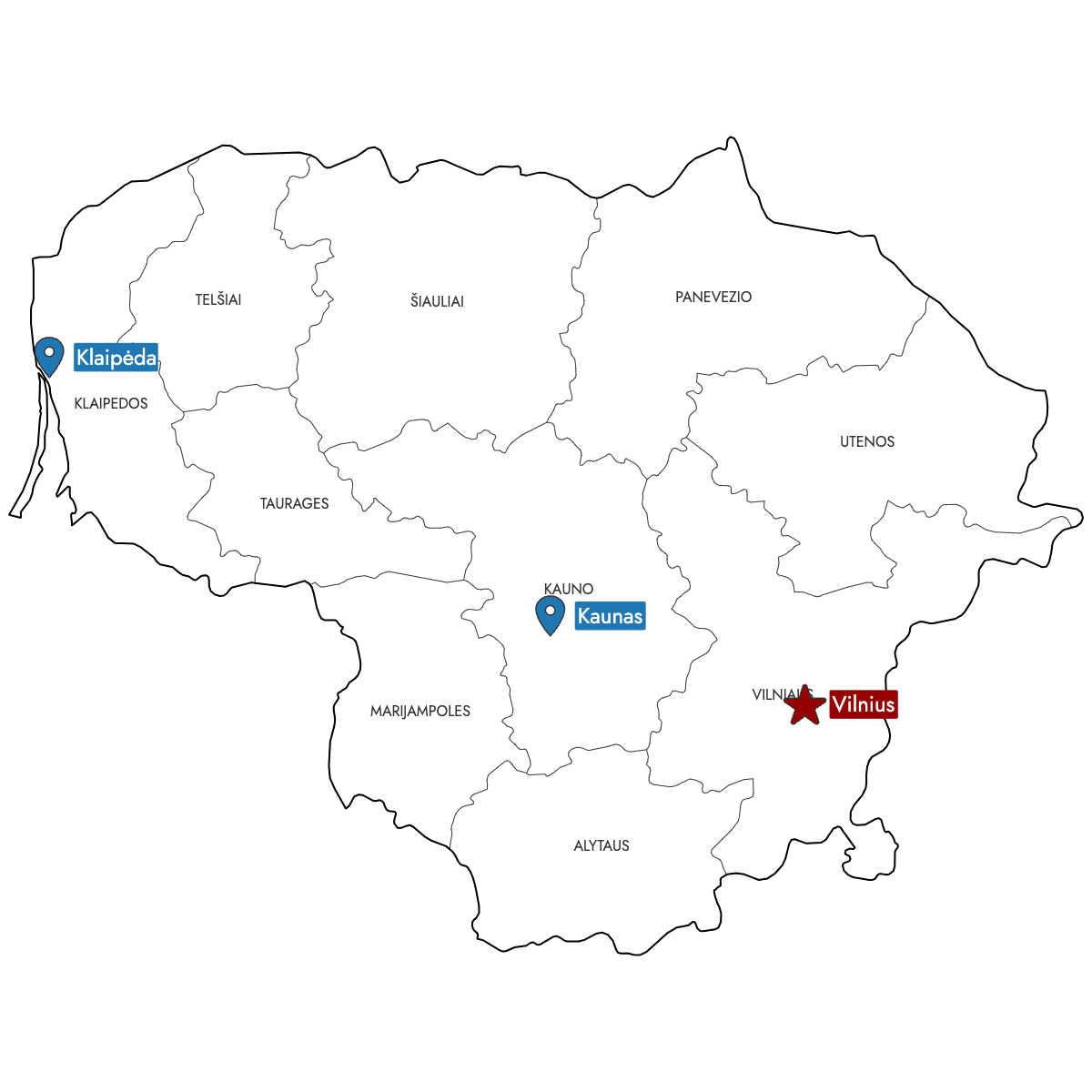
Choose manual coloring if you want complete control over each county, or let the built-in AI help assign colors based on your dataset. Add markers for important cities or specific locations to enhance your custom map.
For web use, you can build and share an interactive map of Lithuania, allowing users to click or hover over counties for detailed information and additional layers.
Map Details
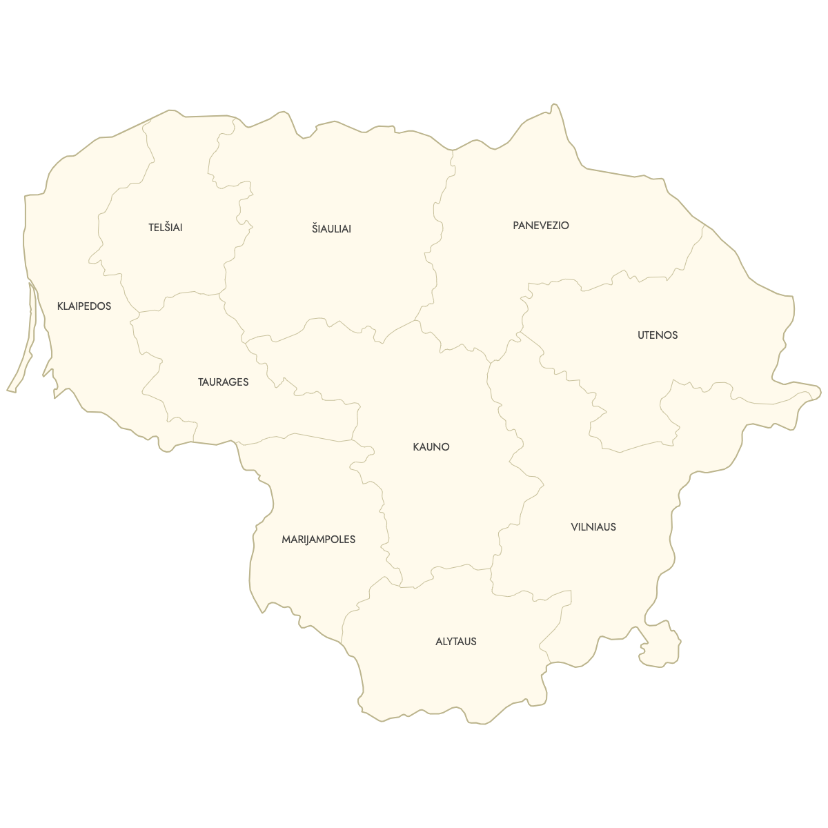
This map supports labels.
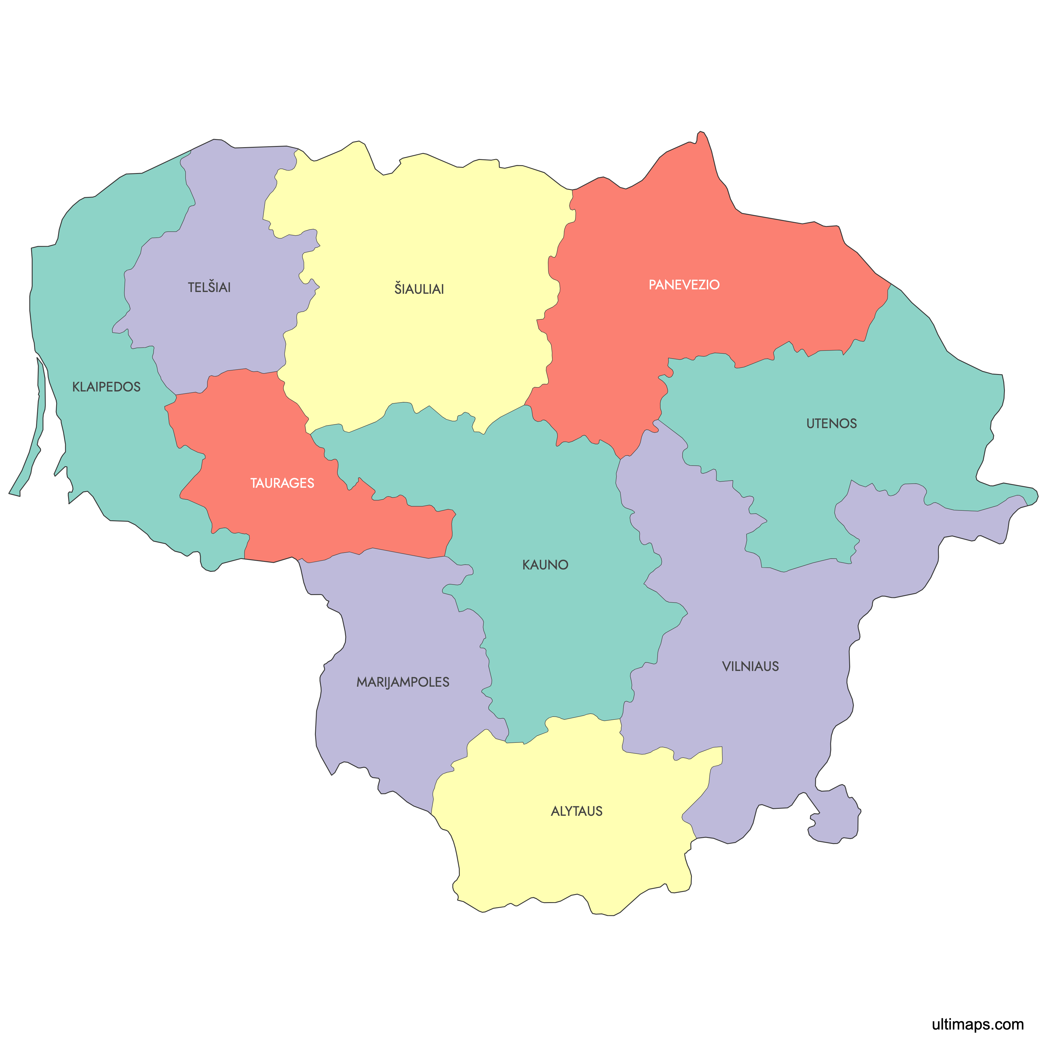
This map is divided into 10 counties:
- Alytaus
- Kauno
- Klaipedos
- Marijampoles
- Panevezio
- Šiauliai
- Taurages
- Telšiai
- Utenos
- Vilniaus
Check out the related maps below if you're looking for a different map of the same geographic region.
Related Maps

Free Downloads
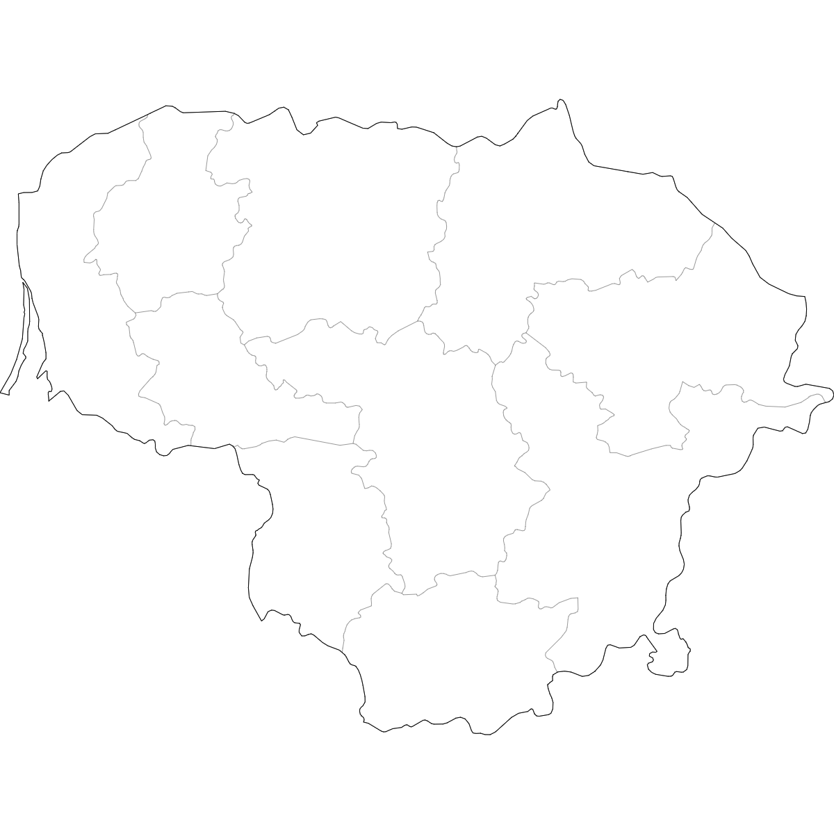
You can download free blank Map of Lithuania Counties and other maps in high resolution PNG, SVG and PDF formats from the blank maps section of the site: Download Blank Map of Lithuania Counties
About Lithuania Counties
Lithuania is subdivided into 10 counties, known locally as "apskritys." Each county is an administrative region encompassing several municipalities. Counties serve as key regional divisions for governmental and statistical purposes. Since 2010, counties no longer have their own government administration, but the boundaries remain in use for territorial and data analysis.
Key facts about the Lithuania counties map:
- Number of counties: 10
- Largest county by area: Vilnius County
- Most populous county: Vilnius County
- Smallest county by area: Alytus County
- Counties are further divided into municipalities (district and city)
- Lithuania shares borders with Latvia, Belarus, Poland, and Russia (Kaliningrad region)
- The counties reflect historical and cultural regions
Updates
Sep 15, 2025:
- Added map of Lithuania counties with labels