Map of Netherlands Provinces
Create a custom map of Netherlands provinces and export your map as a high-resolution PNG or SVG, ready for use in presentations or reports. You can import your data from Excel, Google Sheets, or CSV files to fill each province with specific colors, and place pins to identify key cities or business locations.
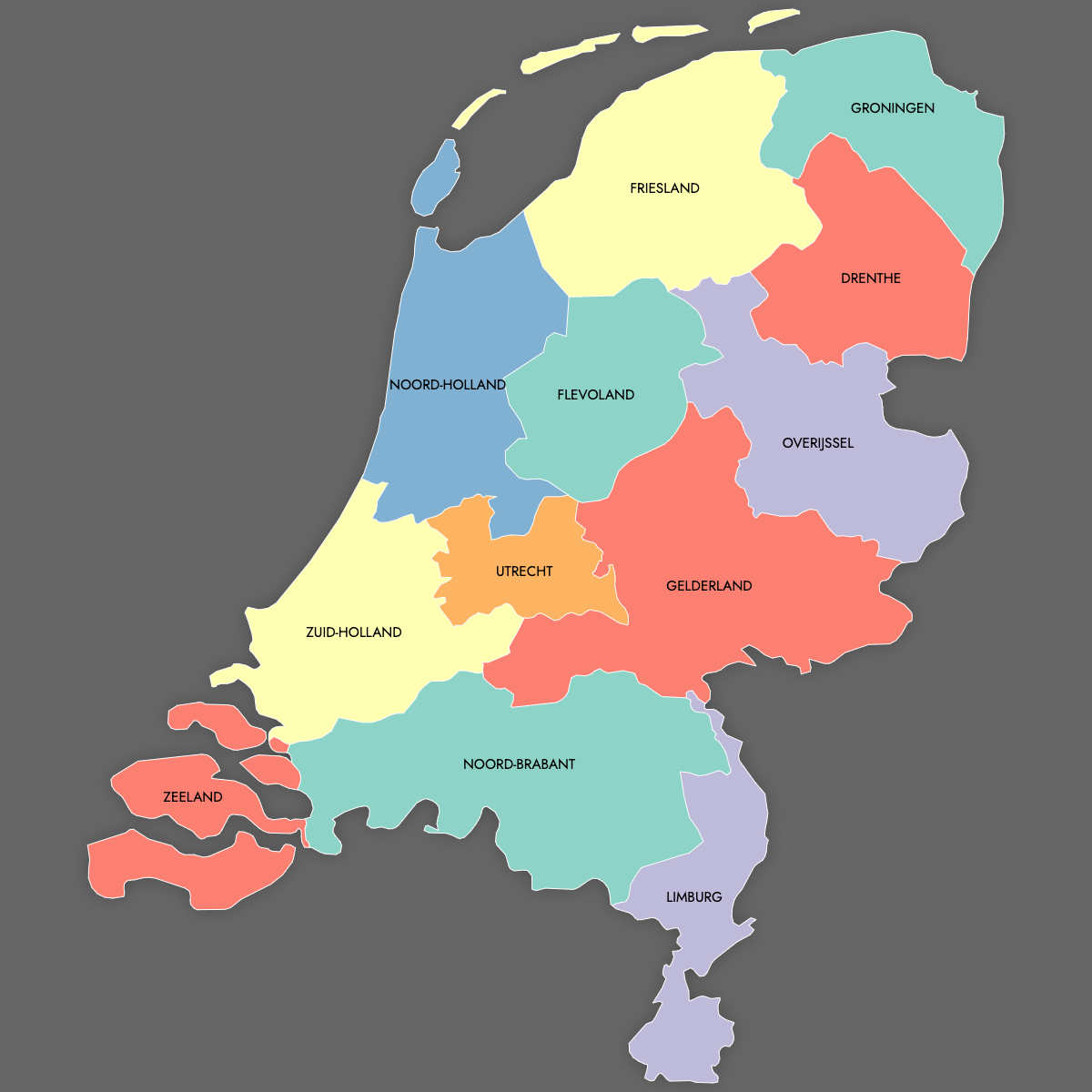
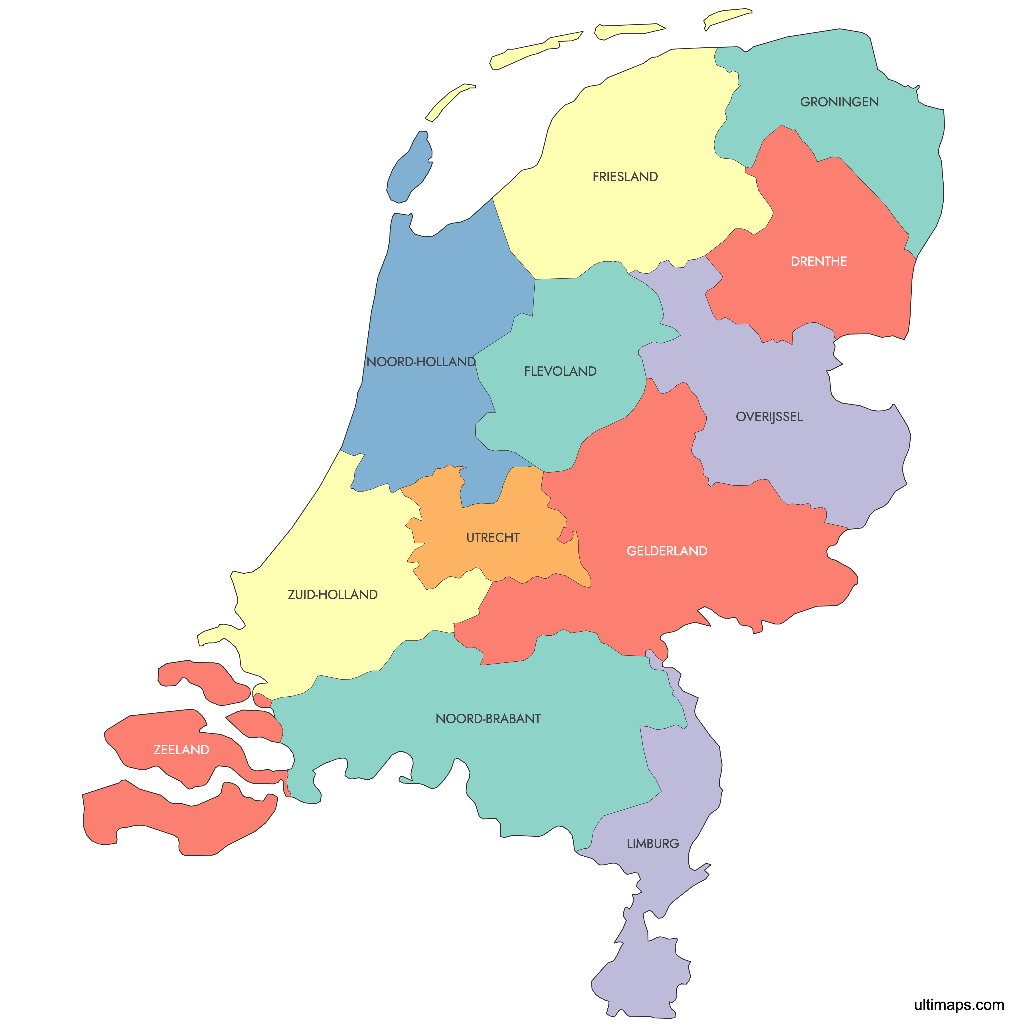
Manual coloring lets you highlight selected provinces as needed, or you can use the AI tool to suggest optimal colors based on your imported data.
To make your map interactive, you can embed it on your website and allow visitors to click or hover over each Dutch province to access more information or details.
Map Details
This map supports labels.
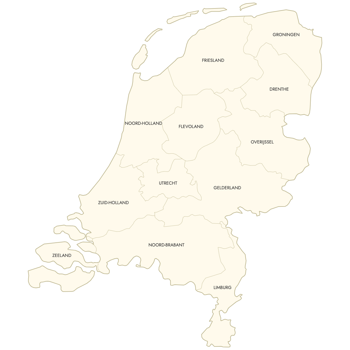
This map is divided into 12 provinces:
- Drenthe
- Flevoland
- Friesland
- Gelderland
- Groningen
- Limburg
- Noord-Brabant
- Noord-Holland
- Overijssel
- Utrecht
- Zeeland
- Zuid-Holland
Check out the related maps below if you're looking for a different map of the same geographic region.
Related Maps

Free Downloads
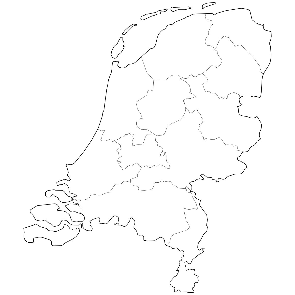
You can download free blank Map of Netherlands Provinces and other maps in high resolution PNG, SVG and PDF formats from the blank maps section of the site: Download Blank Map of Netherlands Provinces
About Netherlands Provinces
The Netherlands is composed of 12 provinces, each with its own local government and distinct administrative functions. The provinces have their own identities, histories, and roles within the broader Dutch state. These provinces act as intermediate administrative layers between national and municipal authorities.
Key facts about the Netherlands provinces map:
- Number of provinces: 12
- Largest province by area: Friesland
- Most populous province: South Holland
- Smallest province by area: Utrecht
- Capital cities include: Amsterdam (North Holland), Rotterdam (South Holland), Utrecht (Utrecht)
- Provincial boundaries are well-defined and form the core regions for governmental and statistical purposes
- The Netherlands borders Germany, Belgium, and the North Sea
Updates
Jun 12, 2025:
- Added map of Dutch Provinces