Map of Poland Provinces
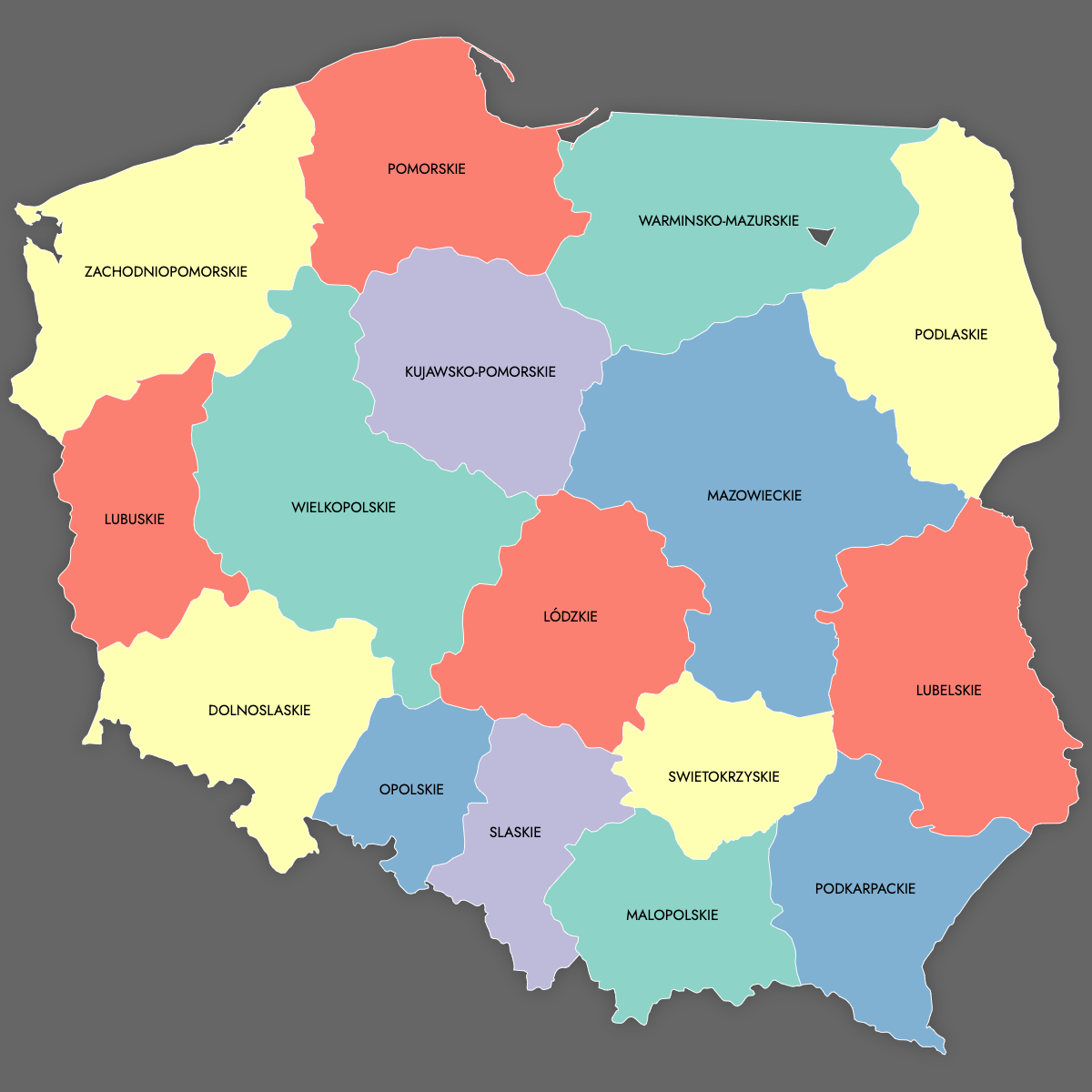
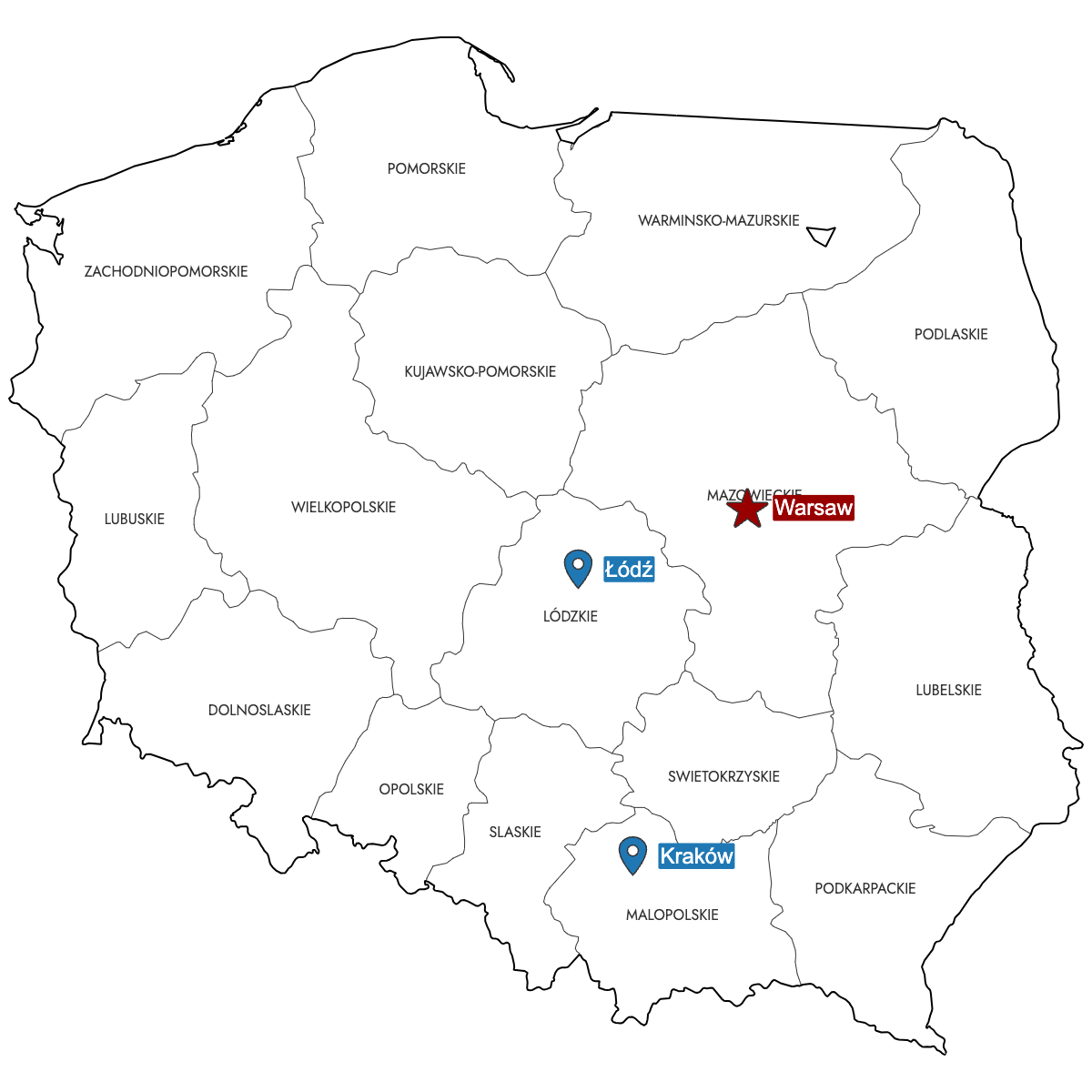
Create a custom map of Poland divided by its provinces (voivodeships or województwa). You can export your finished work as a high-resolution PNG or SVG, ready to use in your documents or presentations. Import data from Excel, Google Sheets, or CSV files to quickly apply colors to each voivodeship according to your needs, and add pins for main cities or key locations.
If you prefer, color provinces manually to highlight specific regions or choose to let the built-in AI suggest colors based on your imported data.
For interactive projects, build an online map that you can embed on your website. Viewers can click or hover over Poland's provinces to see added details or information, making it useful for business, education, or data visualization.
Map Details
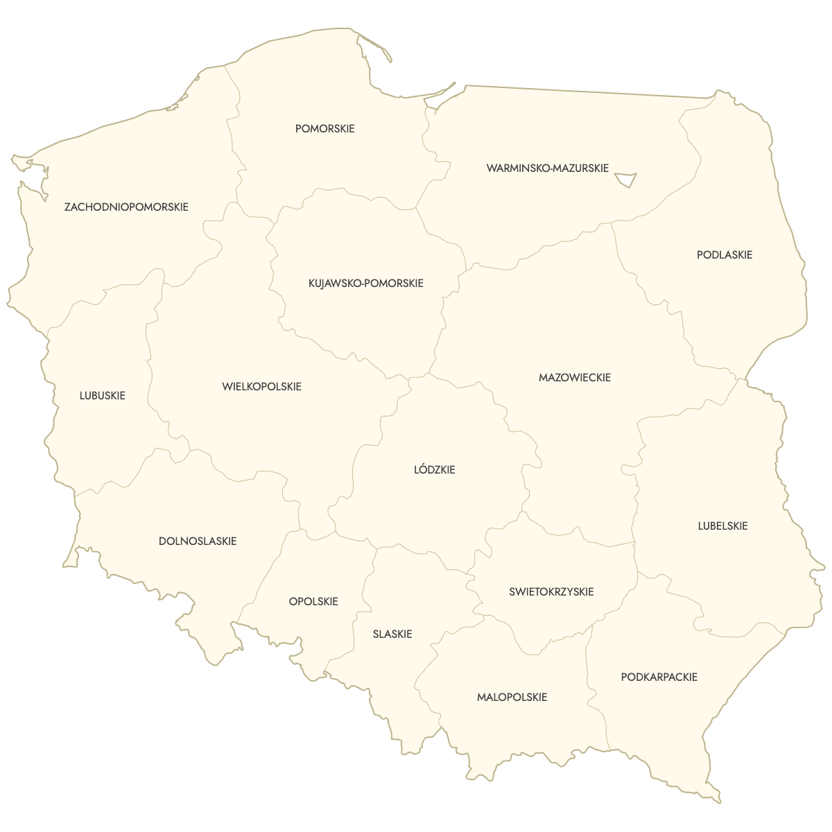
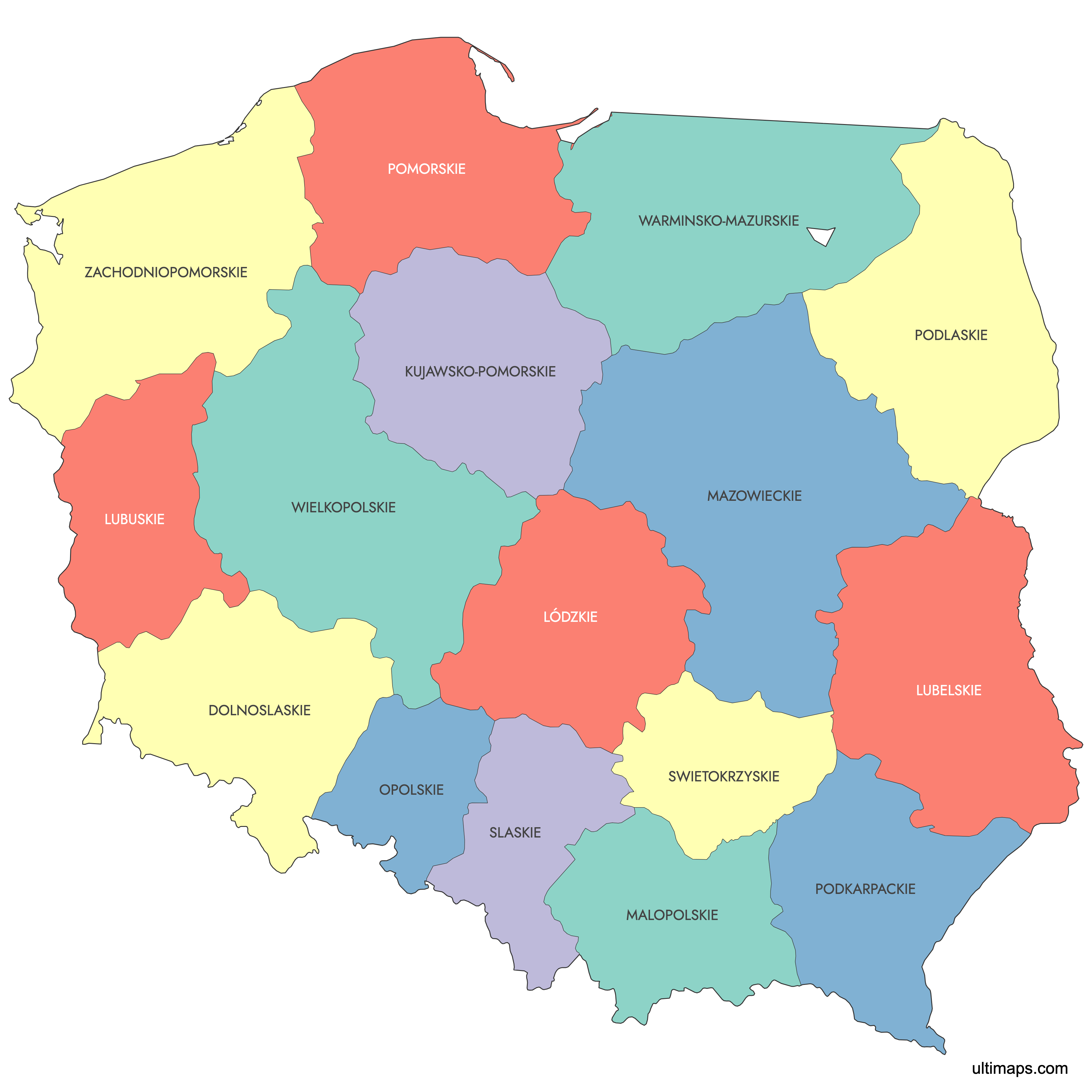
This map supports labels.
This map is divided into 16 voevodeships:
- Dolnoslaskie
- Kujawsko-Pomorskie
- Lódzkie
- Lubelskie
- Lubuskie
- Malopolskie
- Mazowieckie
- Opolskie
- Podkarpackie
- Podlaskie
- Pomorskie
- Slaskie
- Swietokrzyskie
- Warminsko-Mazurskie
- Wielkopolskie
- Zachodniopomorskie
Check out the related maps below if you're looking for a different map of the same geographic region.
Related Maps

Free Downloads
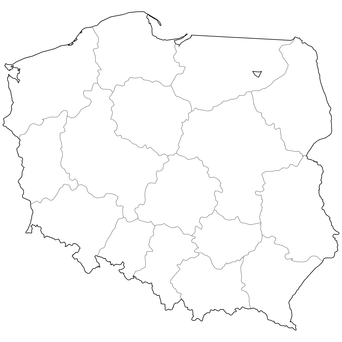
You can download free blank Map of Poland Provinces and other maps in high resolution PNG, SVG and PDF formats from the blank maps section of the site: Download Blank Map of Poland Provinces
About Poland Provinces
Poland is divided into administrative regions known as voivodeships (województwa). Each voivodeship serves as a top-level subdivision with its own government and distinct cultural history. The current administrative structure was introduced in 1999.
Key facts about the Poland provinces map:
- Number of voivodeships: 16
- Largest voivodeship by area: Masovian Voivodeship
- Most populous voivodeship: Masovian Voivodeship (including Warsaw)
- Smallest voivodeship by area: Opole Voivodeship
- Main cities by voivodeship: Warsaw, Kraków, Łódź, Wrocław, Poznań, Gdańsk
- Borders: Germany, Czechia, Slovakia, Ukraine, Belarus, Lithuania, and Russia (Kaliningrad Oblast)
- Administrative model established: 1 January 1999
Updates
Jun 18, 2025:
- Added map of Poland voevodeships and its labeled version