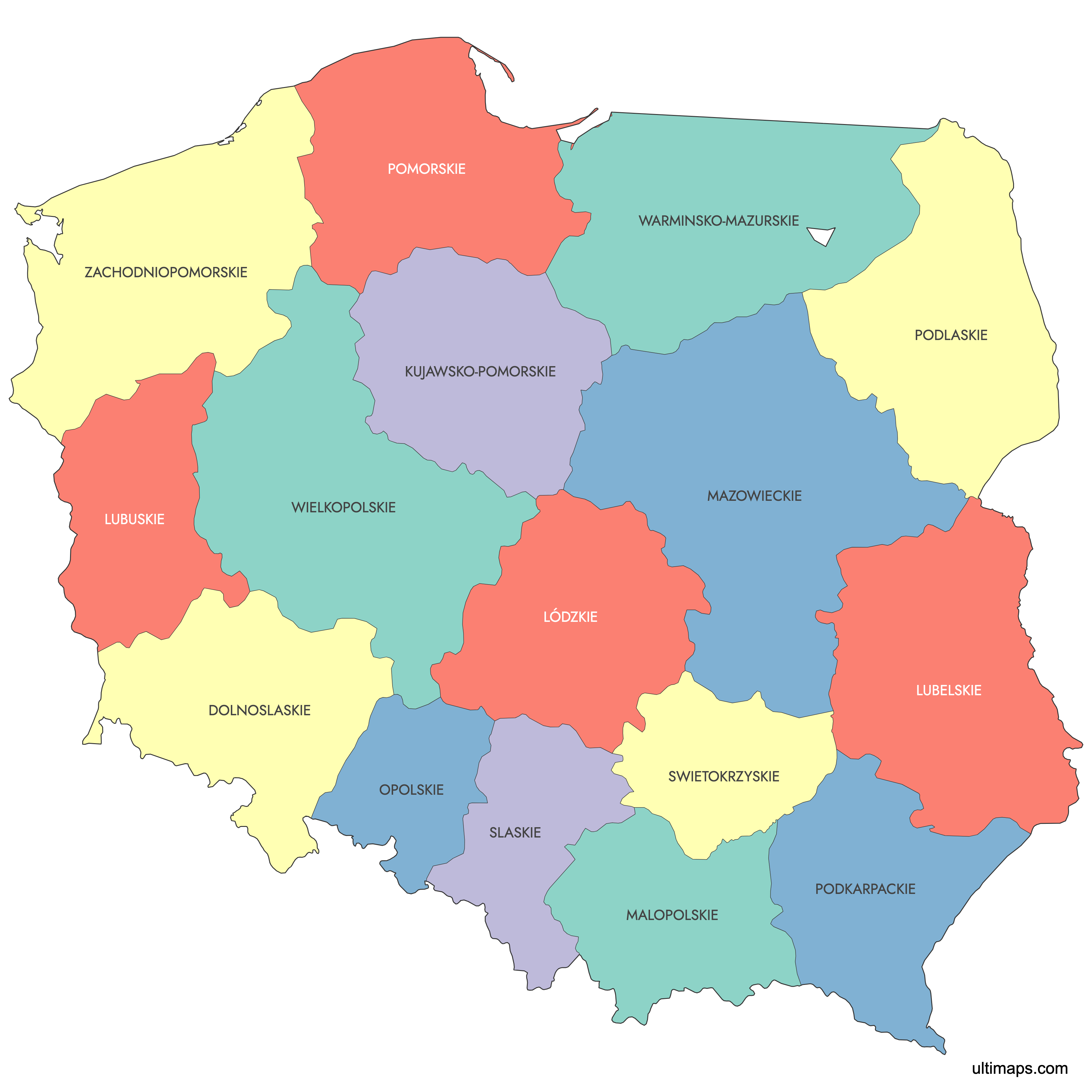
Map of Poland Provinces
Poland is divided into 16 voevodeships (provinces), the country's top-level administrative units established on 1 January 1999. These regions range from the large, densely populated Masovian Voevodeship surrounding Warsaw to the compact Opole Voevodeship in the southwest. Use the interactive maps below to explore voevodeship boundaries and capitals, download free reference maps, or create a custom map of Poland to visualize your own data.
Interactive Map of Poland Provinces
List of Voevodeships (16)
| # | Voevodeship |
|---|---|
| 1 | |
| 2 | |
| 3 | |
| 4 | |
| 5 | |
| 6 | |
| 7 | |
| 8 | |
| 9 | |
| 10 | |
| 11 | |
| 12 | |
| 13 | |
| 14 | |
| 15 | |
| 16 |
About Poland Provinces
Poland is divided into administrative regions known as voivodeships (województwa). Each voivodeship serves as a top-level subdivision with its own government and distinct cultural history. The current administrative structure was introduced in 1999.
Key facts about the Poland provinces map:
- Number of voivodeships: 16
- Largest voivodeship by area: Masovian Voivodeship
- Most populous voivodeship: Masovian Voivodeship (including Warsaw)
- Smallest voivodeship by area: Opole Voivodeship
- Main cities by voivodeship: Warsaw, Kraków, Łódź, Wrocław, Poznań, Gdańsk
- Borders: Germany, Czechia, Slovakia, Ukraine, Belarus, Lithuania, and Russia (Kaliningrad Oblast)
- Administrative model established: 1 January 1999
Free Downloads
You can download free blank Map of Poland Provinces and other maps in high resolution PNG, SVG and PDF formats from the blank maps section of the site: Download Blank Map of Poland Provinces
Custom Map Features
This map supports labels.
This map is divided into 16 voevodeships.
Updates
Jun 18, 2025:
- Added map of Poland voevodeships and its labeled version
Frequently Asked Questions
Poland has 16 voevodeships (provinces), created in their current form on 1 January 1999 as part of a major administrative reform. This reform replaced the previous system of 49 smaller voevodeships and reintroduced a three-tier structure of voevodeship, county, and gmina. No major boundary changes have been made since 1999.
Masovian Voevodeship (Mazowieckie) is the largest at 35,580 km² (13,737 sq mi), making it roughly comparable in size to Belgium. Its capital is Warsaw, which also serves as Poland's national capital.
Opole Voevodeship (Opolskie) is the smallest at 9,413 km² (3,634 sq mi). It is located in southwestern Poland along the Czech border. Opole Voevodeship is also the least populous, with approximately 926,842 inhabitants.
Masovian Voevodeship (Mazowieckie) is the most populous with approximately 5,506,411 inhabitants. Its capital, Warsaw, is Poland's largest city and the country's main economic and cultural center. Masovian Voevodeship holds the distinction of being both the largest and most populous region in Poland.
Kraków, in Lesser Poland Voevodeship, is the historic royal capital and home to Wawel Castle and the gateway to the Tatra Mountains. Gdańsk, in Pomeranian Voevodeship, is a major Baltic port and historic Hanseatic city where the Solidarity movement began. Toruń, in Kuyavian-Pomeranian Voevodeship, is a UNESCO-listed medieval town and the birthplace of Nicolaus Copernicus.
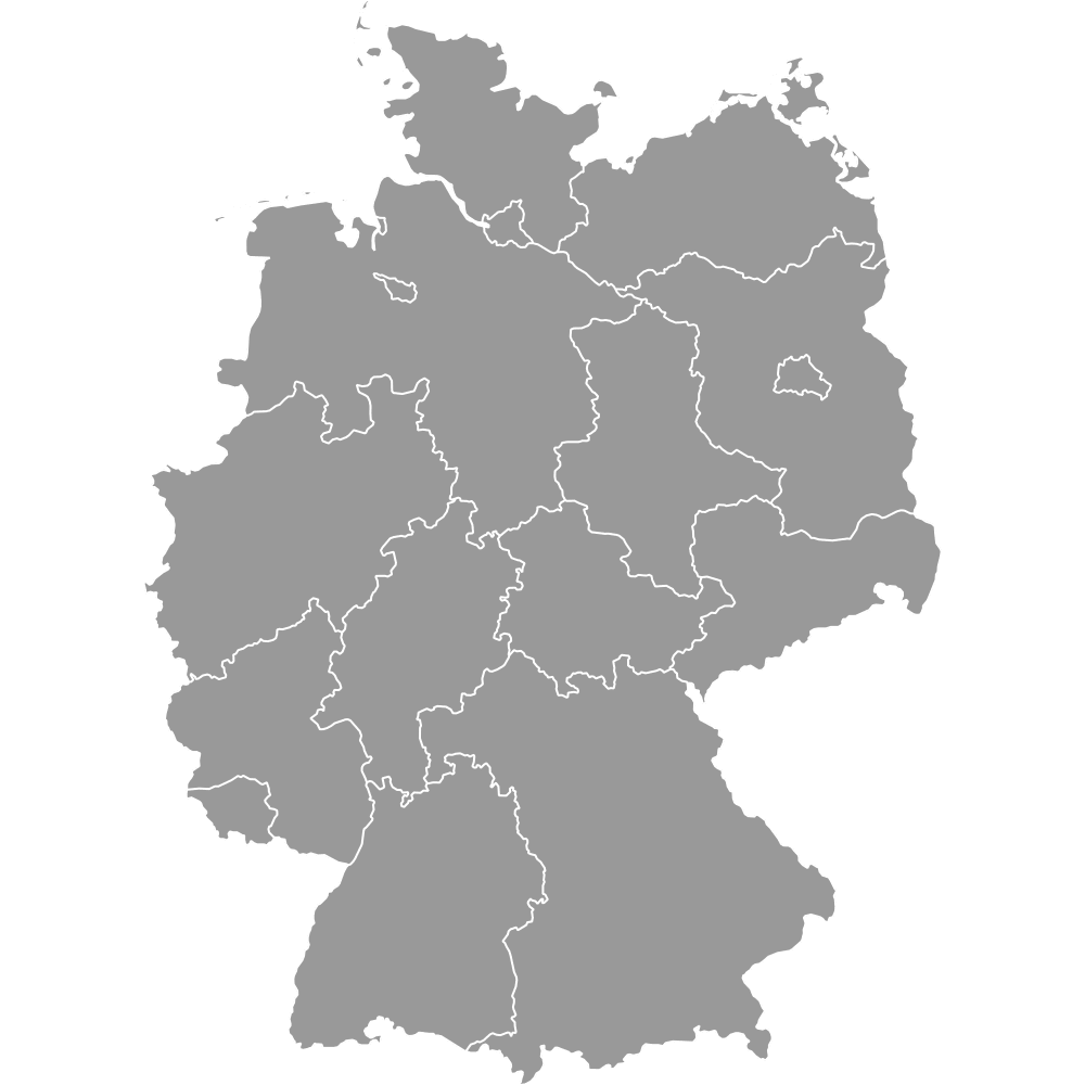
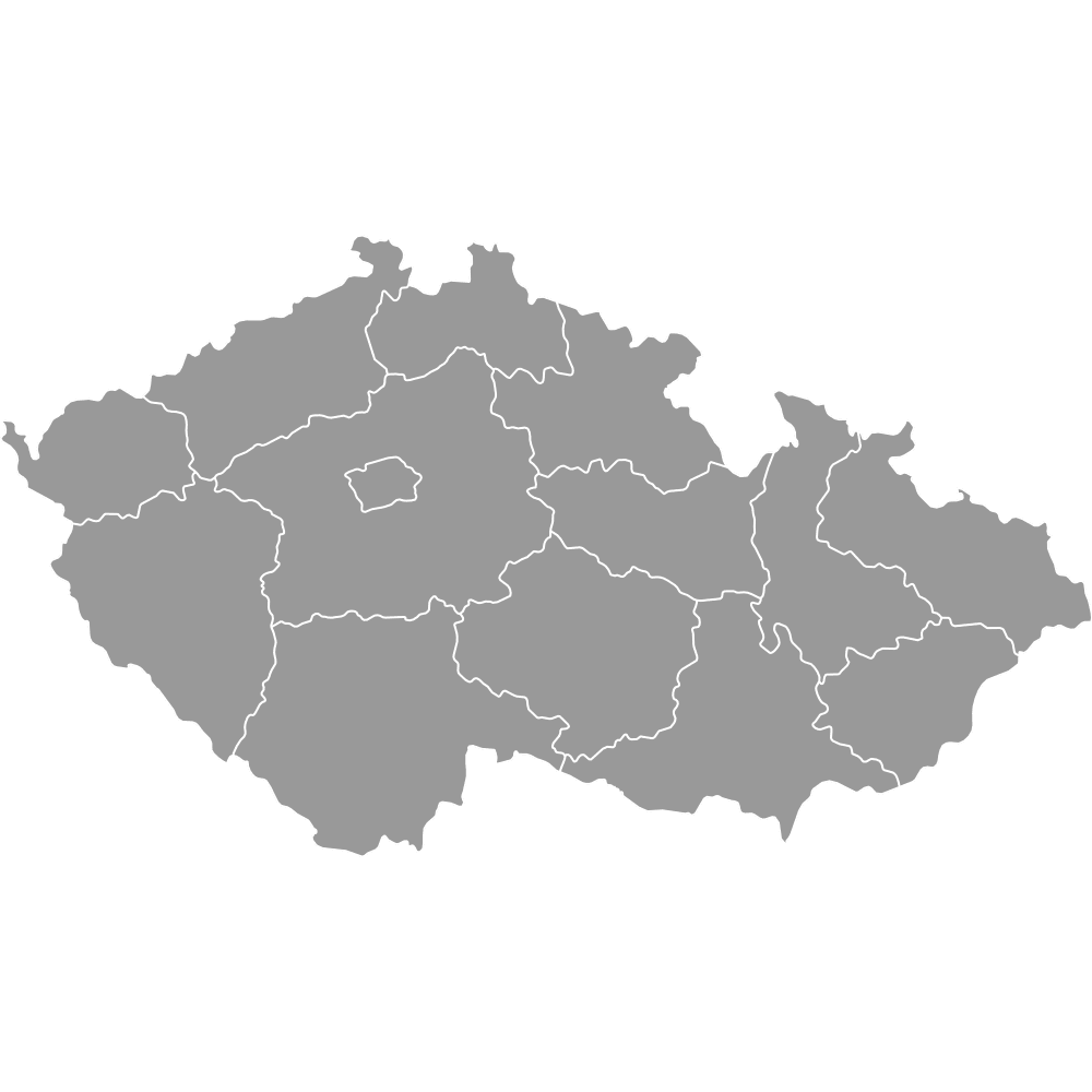
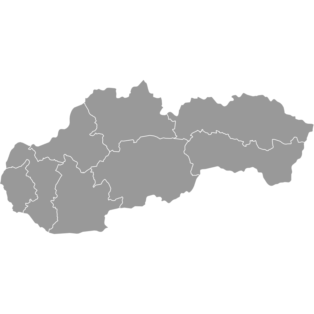
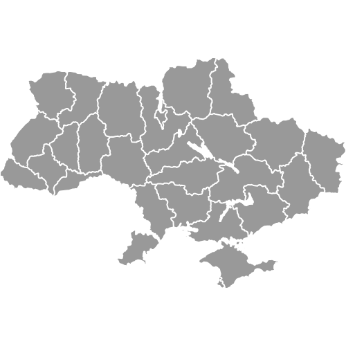
Poland shares land borders with seven neighbors: Germany to the west, the Czech Republic and Slovakia to the south, Ukraine and Belarus to the east, Lithuania to the northeast, and Russia's Kaliningrad Oblast to the north. The Baltic Sea forms Poland's northern coastline, touching the Pomeranian and West Pomeranian voevodeships. All 16 voevodeships operate in Central European Time (CET, UTC+1).
You can use Ultimaps to create custom maps of Poland. Color-code voevodeships manually or upload your data, place pins, customize the look, and export to PNG, PDF, or SVG. No sign-up required.