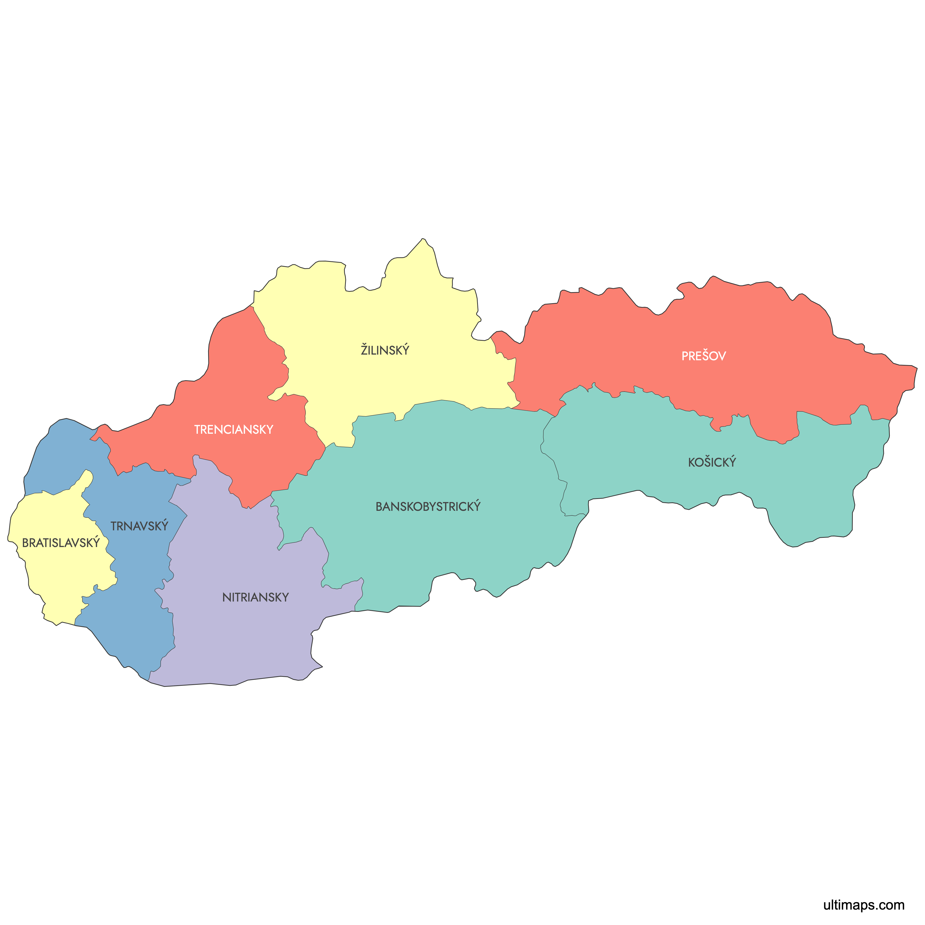
Map of Slovakia Regions
Slovakia is divided into 8 regions (kraje), also known as self-governing regions, which correspond to the EU's NUTS 3 statistical level. Each region is named after its capital city, from Bratislava in the west to Košice in the east. Use the interactive map below to explore regional boundaries, download free reference maps, or create a custom map of Slovakia to visualize your own data.
Interactive Map of Slovakia Regions
List of Regions (8)
| # | Region |
|---|---|
| 1 | |
| 2 | |
| 3 | |
| 4 | |
| 5 | |
| 6 | |
| 7 | |
| 8 |
About the Slovak Regions
Slovakia is organized into 8 administrative regions, known locally as "kraje." Each region plays a vital role in governance and administration. These regional boundaries are used for statistical and official purposes, and each region contains several districts.
Key facts about the map of Slovak regions:
- Number of regions: 8 (Bratislava, Trnava, Trenčín, Nitra, Žilina, Banská Bystrica, Prešov, Košice)
- Largest region by area: Banská Bystrica
- Smallest region by area: Bratislava
- Most populous region: Prešov
- Regions are further divided into 79 districts (okresy)
- The regional boundaries were established after the independence of Slovakia in 1993
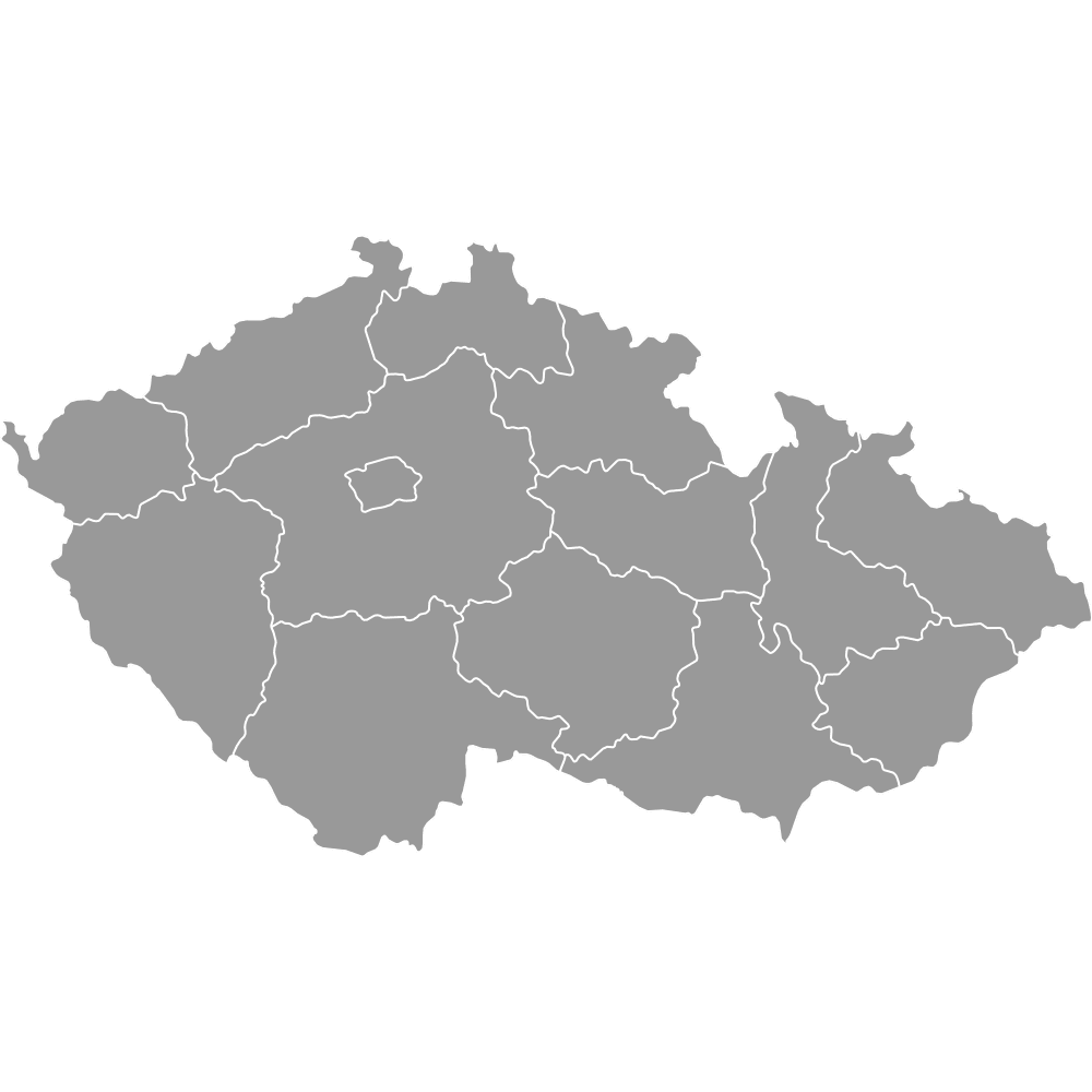
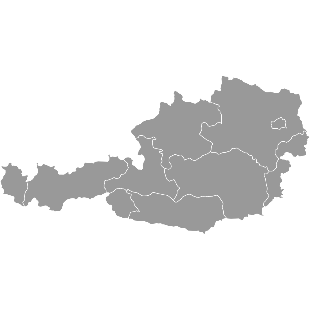
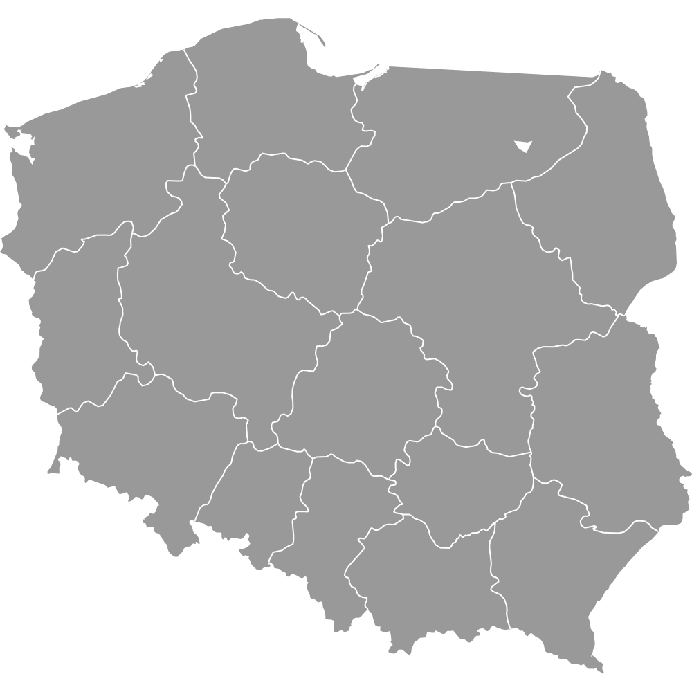
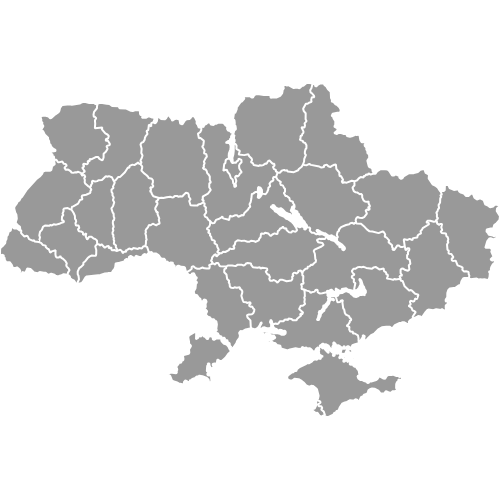
- Neighboring countries: Czech Republic, Austria, Hungary, Ukraine, Poland
- Regional capitals serve as economic and cultural centers, such as Bratislava and Košice
Free Downloads
You can download free blank Map of Slovakia Regions and other maps in high resolution PNG, SVG and PDF formats from the blank maps section of the site: Download Blank Map of Slovakia Regions
Custom Map Features
This map supports labels.
This map is divided into 8 regions.
Updates
Sep 15, 2025:
- Added map of Slovakia regions with labels
Frequently Asked Questions
Slovakia has 8 regions (kraje), which function as self-governing higher territorial units (VÚC). This regional system has been in place since 2002 and matches the EU's NUTS 3 statistical classification. The 8 regions are further subdivided into 79 districts (okresy) and then into individual municipalities.
Banská Bystrica Region is the largest of Slovakia's 8 regions by area. It covers a large portion of central Slovakia and is named after the city of Banská Bystrica. The region includes popular destinations such as the Donovaly ski resort.
Bratislava Region is the smallest of Slovakia's 8 regions by area. Despite its small size, it contains the national capital, Bratislava, and borders both Austria and Hungary. It had a population of approximately 736,385 as of 2024.
Prešov Region is the most populous of Slovakia's 8 regions. It is located in the northeastern part of the country and includes part of the High Tatras mountain range. The region is named after the city of Prešov, one of Slovakia's largest urban centers.
Bratislava, the capital, is in Bratislava Region. Bojnice Castle, one of Slovakia's most visited landmarks, is in Trenčín Region. The High Tatras, the highest range in the Carpathian Mountains, stretch across Prešov Region and partly into Žilina Region.
Slovakia shares borders with five countries: the Czech Republic to the northwest, Poland to the north, Ukraine to the east, Hungary to the south, and Austria to the southwest. Bratislava Region is notable for bordering both Austria and Hungary directly.
You can use Ultimaps to create custom maps of Slovakia. Color-code regions manually or upload your data, place pins, customize the look, and export to PNG, PDF, or SVG. No sign-up required.