Map of Czech Republic Regions
The Czech Republic is divided into 13 self-governing regions (kraje) and Prague, which holds special capital-city status with regional powers. This structure took effect on 1 January 2000, replacing the older eight-region system. Use the interactive maps below to explore regional boundaries and major cities. Download free maps or learn more about creating a custom map of the Czech Republic to visualize your own data.
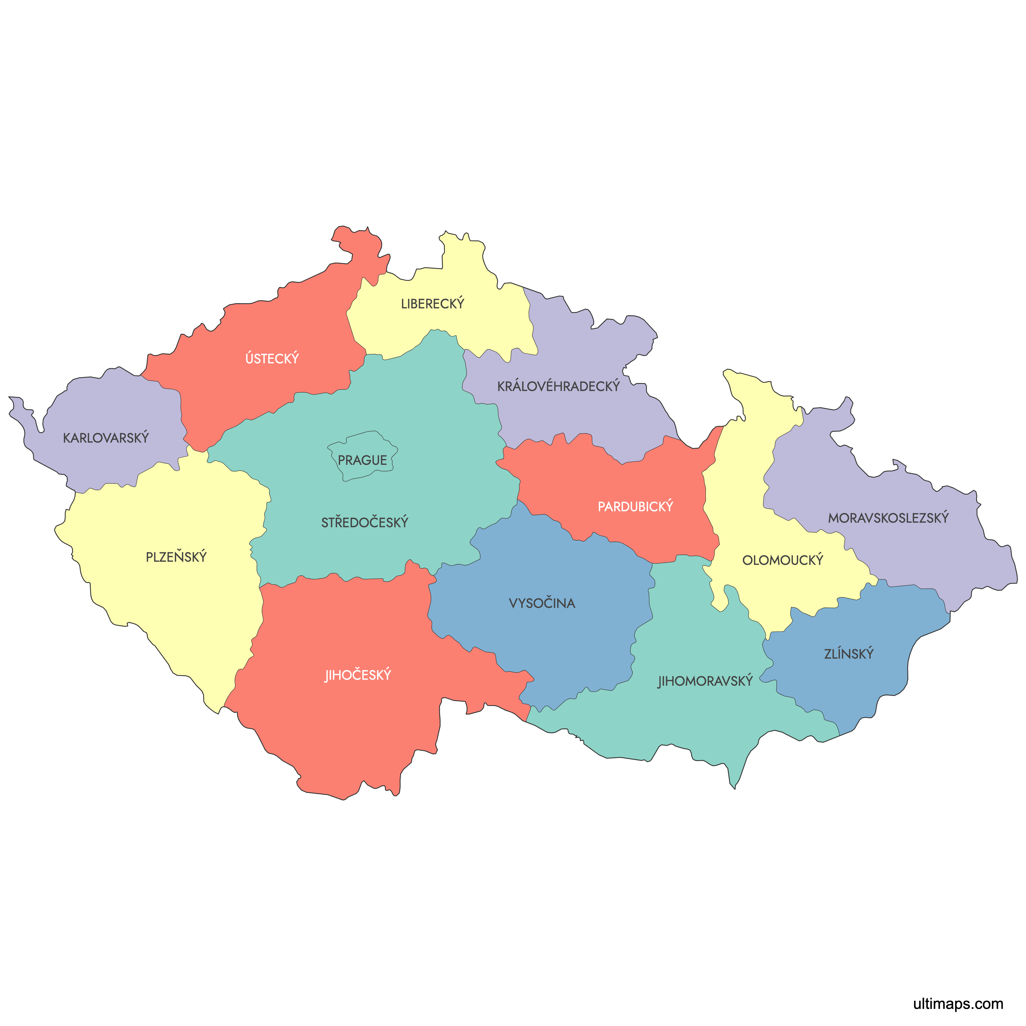
Interactive Map of Czech Republic Regions
List of Regions (14)
| # | Region |
|---|---|
| 1 | |
| 2 | |
| 3 | |
| 4 | |
| 5 | |
| 6 | |
| 7 | |
| 8 | |
| 9 | |
| 10 | |
| 11 | |
| 12 | |
| 13 | |
| 14 |
About the Czech Republic Regions
The Czech Republic is organized into 13 administrative regions, known as “kraje,” and one capital city region, Prague. Each region manages local governance, education, and infrastructure, and their boundaries have become an important reference for business planning, demographic analysis, and regional statistics.
Main facts about the Czech Republic regions:
- Number of regions: 13 plus the City of Prague (14 total)
- Largest region by area: Central Bohemian Region (Středočeský kraj)
- Most populous region: Central Bohemian Region
- Capital city region: Prague (Praha)
- Regions have been in place since the reform of territorial administration in 2000
- Neighboring countries: Germany, Austria, Slovakia, Poland
- Boundaries are used for elections, service area planning, and regional management
Each region has its own unique characteristics, administrative structure, and role in the national economy.
Free Downloads
You can download free blank Map of Czech Republic Regions and other maps in high resolution PNG, SVG and PDF formats from the blank maps section of the site: Download Blank Map of Czech Republic Regions
Custom Map Features
This map supports labels.
This map is divided into 14 regions.
Updates
Sep 15:
- Added map of Czhechia with labels
Frequently Asked Questions
The Czech Republic has 13 self-governing regions plus Prague, which functions as both the national capital and a region with special status. This gives a total of 14 top-level regional units. The regions are further subdivided into 77 districts (okresy) and 6,254 municipalities as of 2021.
The Central Bohemian Region is the largest at 10,928 km² (4,219 sq mi). It surrounds Prague and is closely tied to the capital economically. Its administrative center is not Prague itself but rather the cities within the region such as Kladno and Mladá Boleslav.
Prague is the smallest regional unit at 496 km² (192 sq mi). Despite its small size, it serves as both a region and a municipality. It is the national capital and the political, cultural, and economic center of the country.
The Central Bohemian Region is the most populous with 1,455,194 residents as of December 2024. Major cities in the region include Kladno, Mladá Boleslav, and Mělník. The least populous region is the Karlovy Vary Region with 292,027 inhabitants.
Brno, the country's second-largest city, is in the South Moravian Region. Ostrava, a major industrial center, lies in the Moravian-Silesian Region near the Polish border. Plzeň, known for its brewing heritage, is the capital of the Plzeň Region in western Bohemia.
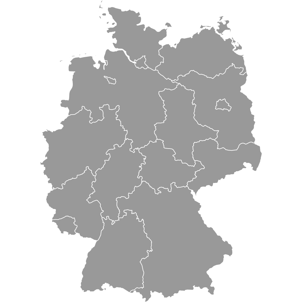
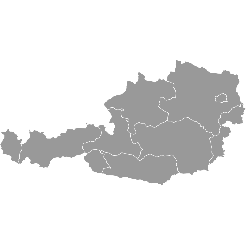
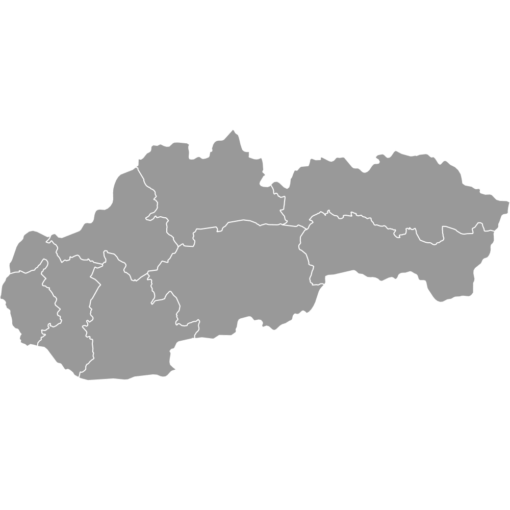
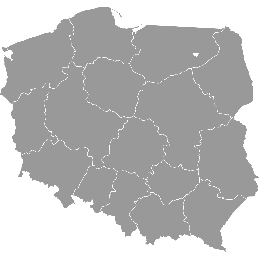
The Czech Republic shares land borders with four countries: Germany to the west, Poland to the north, Slovakia to the east, and Austria to the south. It is a landlocked country with no coastline. Historically, the territory is divided into three lands: Bohemia in the west, Moravia in the east, and Czech Silesia in the northeast along the Polish border.
You can use Ultimaps to create custom maps of the Czech Republic. Color-code regions manually or upload your data, place pins, customize the look, and export to PNG, PDF, or SVG. No sign-up required.