Map of Slovak Regions
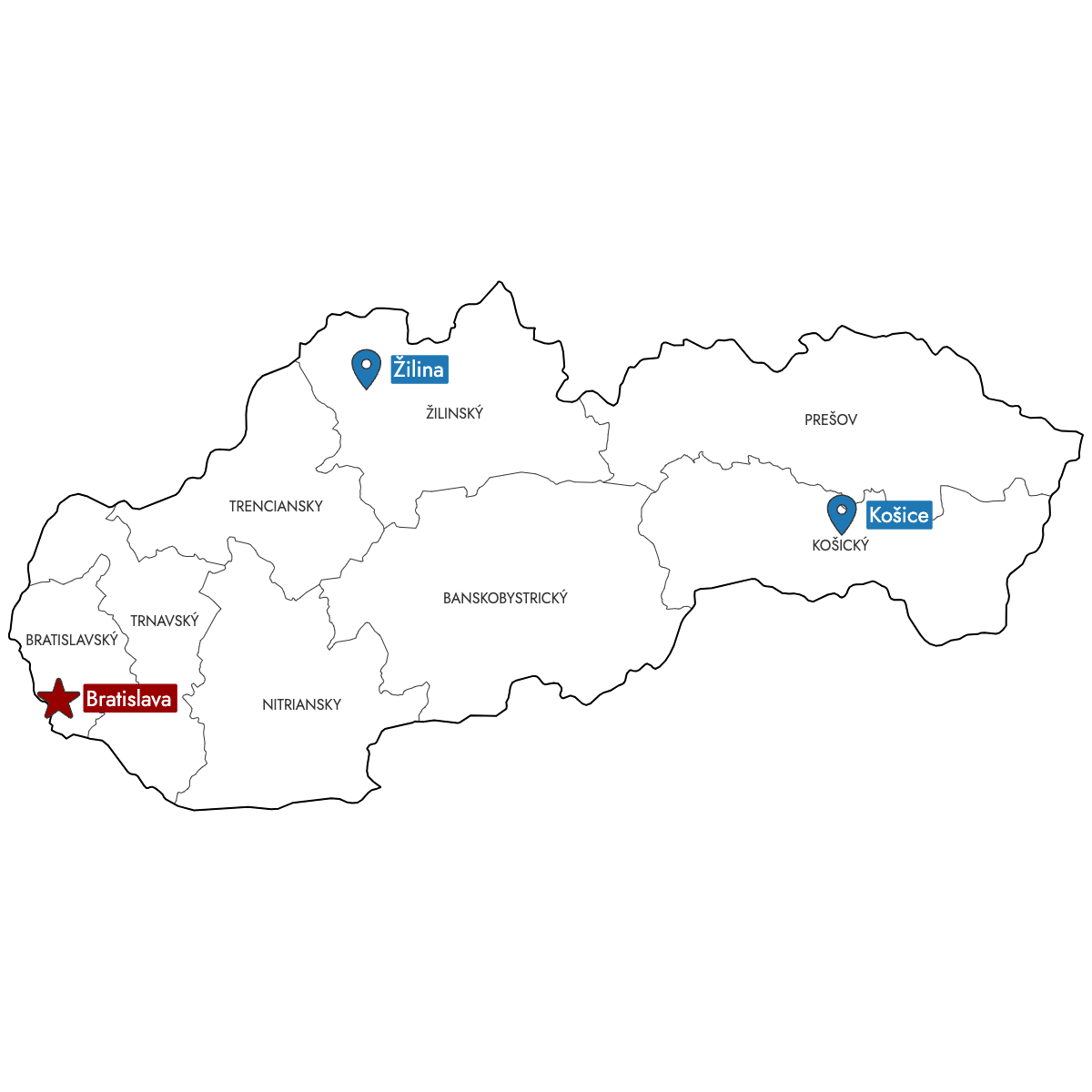
Create a custom map of Slovak regions and export your map as a high-resolution PNG, SVG, or PDF, ready for your documents or presentations. You can import data from Excel, Google Sheets, or a CSV file to automatically fill each region with colors that match your data, and add pins to highlight key cities, offices, or locations.
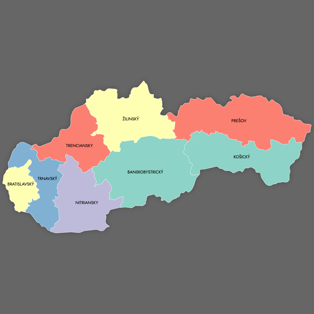
Manual coloring lets you select each region yourself, or you can use the AI assistant to apply colors based on the data you provide.
For interactive needs, make an online map of Slovakia that allows viewers to click or hover over regions to display detailed information, helping you visualize sales territories, service areas, or statistics.
Map Details
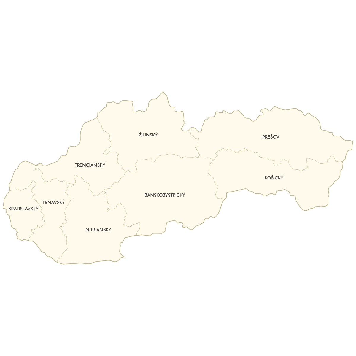
This map supports labels.
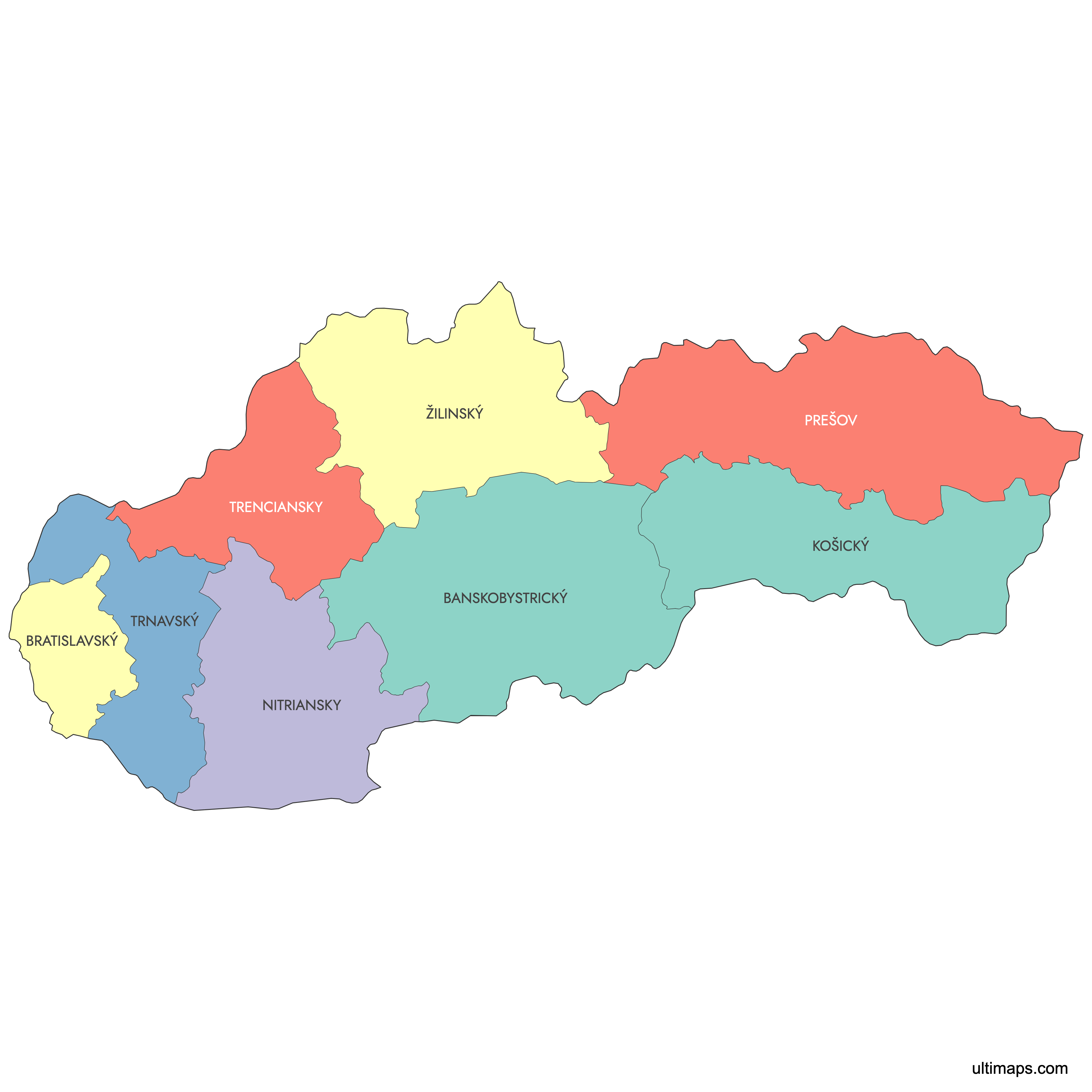
This map is divided into 8 regions:
- Banskobystrický
- Bratislavský
- Košický
- Nitriansky
- Prešov
- Trenciansky
- Trnavský
- Žilinský
Check out the related maps below if you're looking for a different map of the same geographic region.
Related Maps

Free Downloads
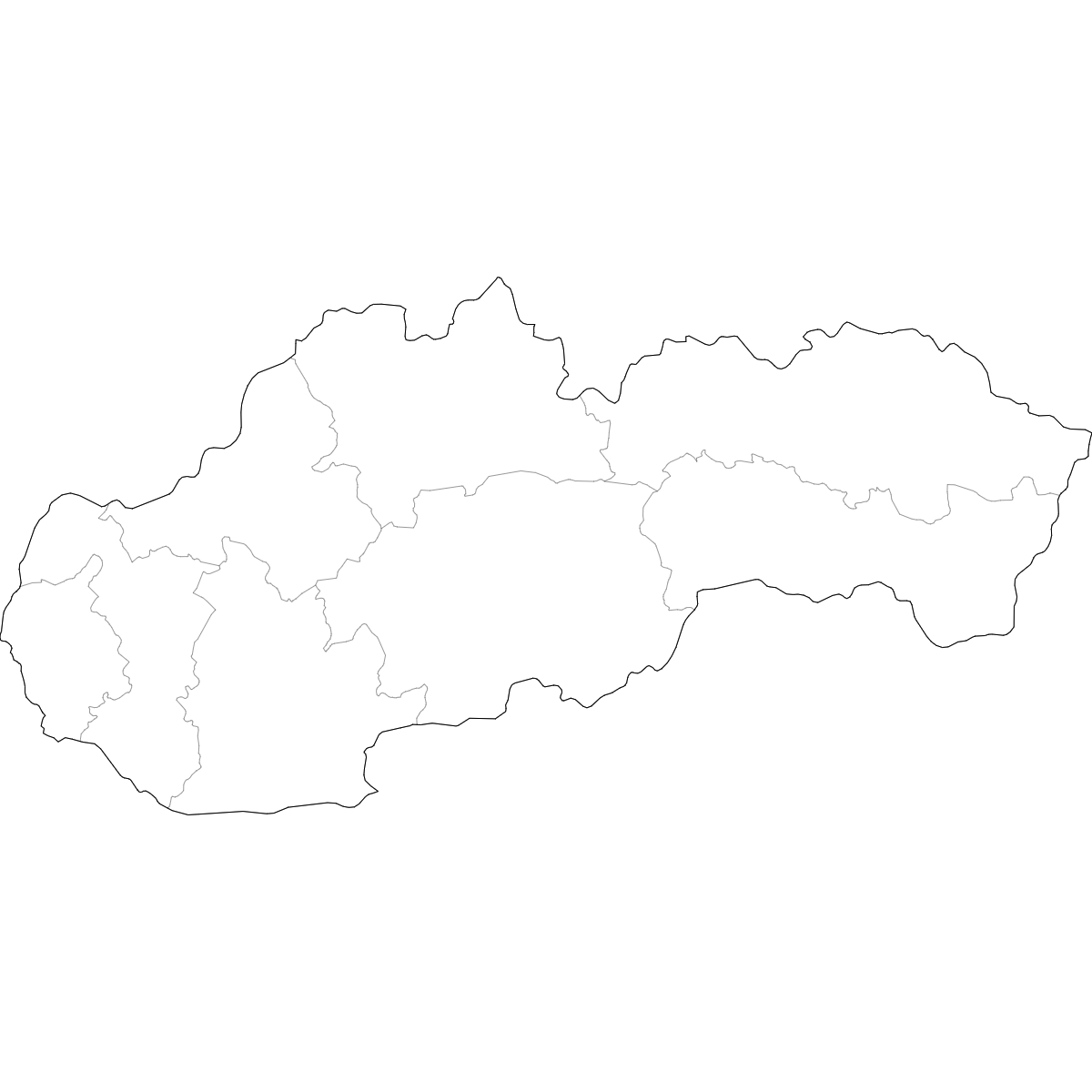
You can download free blank Map of Slovak Regions and other maps in high resolution PNG, SVG and PDF formats from the blank maps section of the site: Download Blank Map of Slovak Regions
About the Slovak Regions
Slovakia is organized into 8 administrative regions, known locally as "kraje." Each region plays a vital role in governance and administration. These regional boundaries are used for statistical and official purposes, and each region contains several districts.
Key facts about the map of Slovak regions:
- Number of regions: 8 (Bratislava, Trnava, Trenčín, Nitra, Žilina, Banská Bystrica, Prešov, Košice)
- Largest region by area: Banská Bystrica
- Smallest region by area: Bratislava
- Most populous region: Prešov
- Regions are further divided into 79 districts (okresy)
- The regional boundaries were established after the independence of Slovakia in 1993
- Neighboring countries: Czech Republic, Austria, Hungary, Ukraine, Poland
- Regional capitals serve as economic and cultural centers, such as Bratislava and Košice
Updates
Sep 15, 2025:
- Added map of Slovakia regions with labels