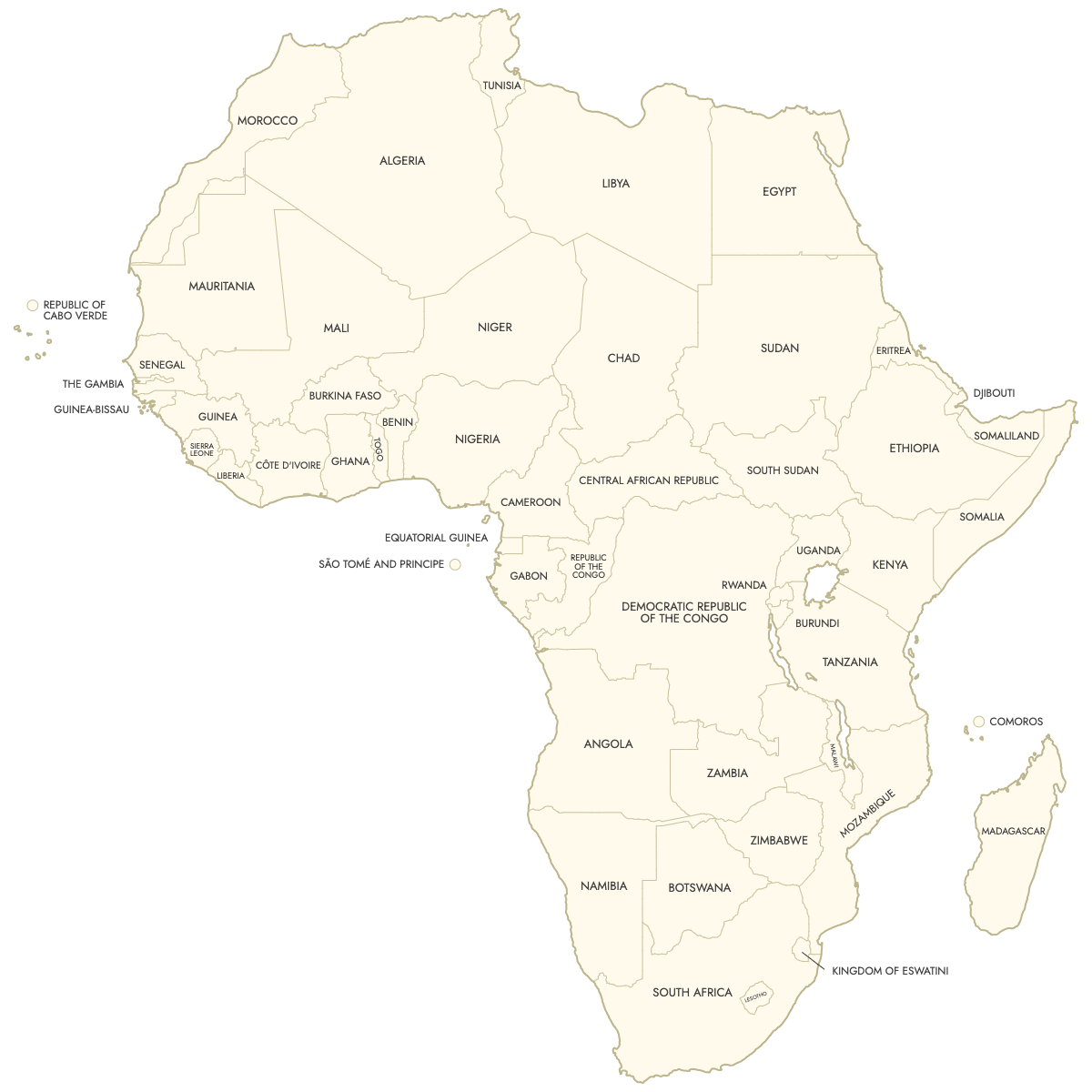
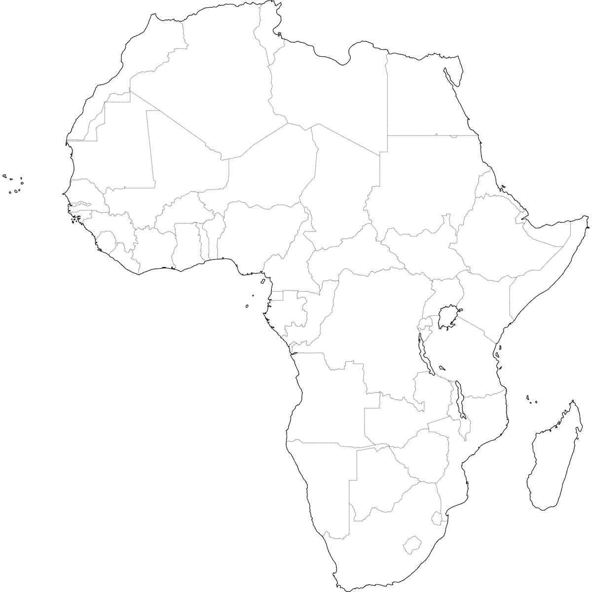
Unstyled Map of Africa With Labels
Map of Africa
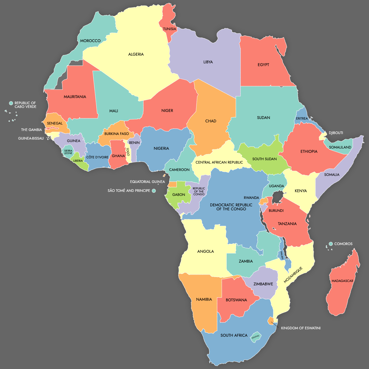
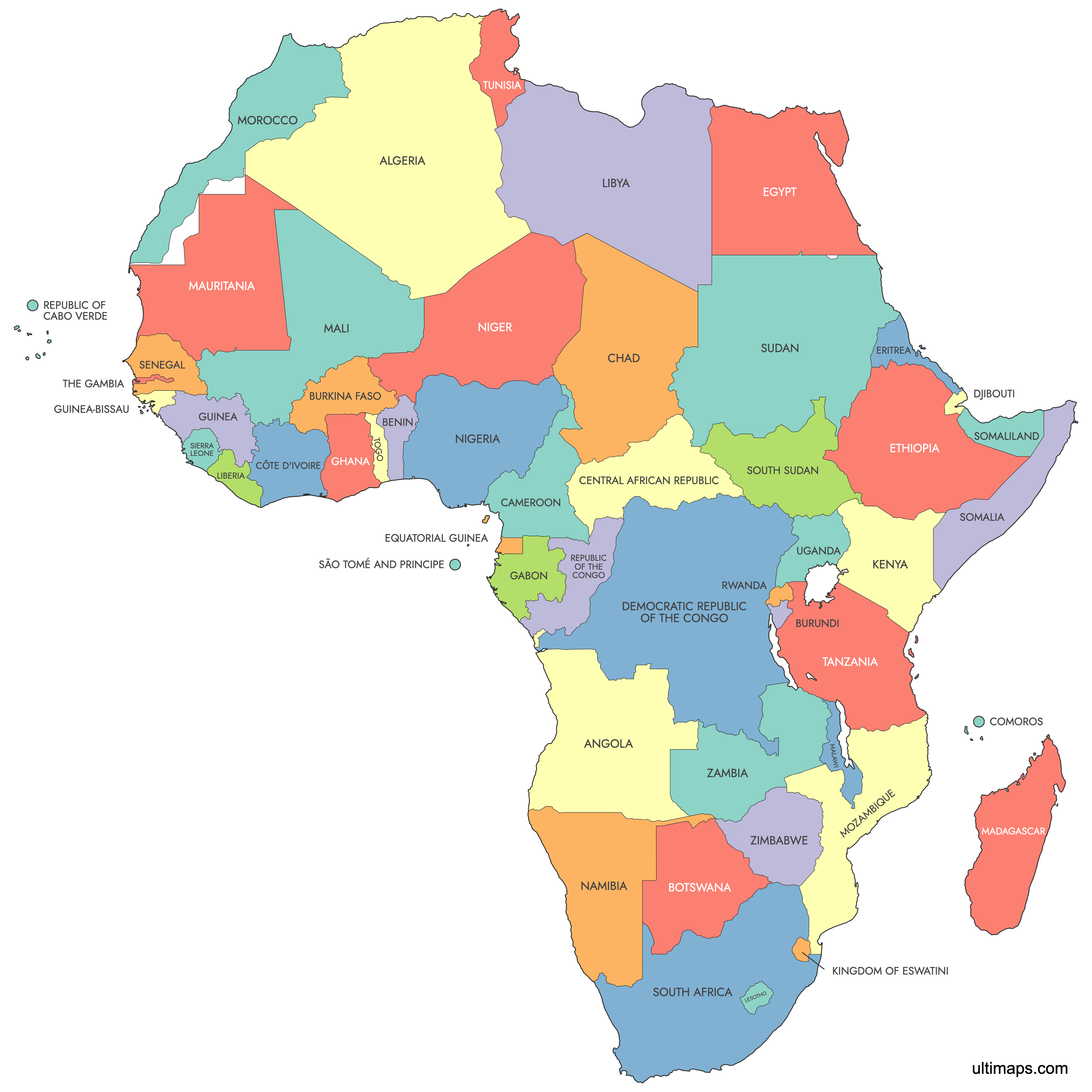
Create a custom map of African countries and export it as a printable format or for use in your publication or presentation.
Color countries based on your data and place pins on the map to highlight specific locations.
Alternatively, develop an interactive map to share or embed on your website.
Map Details
This map supports labels.
This map is divided into 53 countries:
- Algeria
- Angola
- Benin
- Botswana
- Burkina Faso
- Burundi
- Cameroon
- Central African Republic
- Chad
- Comoros
- Côte d'Ivoire
- Democratic Republic of the Congo
- Djibouti
- Egypt
- Equatorial Guinea
- Eritrea
- Ethiopia
- Gabon
- Ghana
- Guinea
- Guinea-Bissau
- Kenya
- Kingdom of eSwatini
- Lesotho
- Liberia
Check out the related maps below if you're looking for a different map of the same geographic region.
Related Maps

Free Downloads
You can download free blank Map of Africa and other maps in high resolution PNG, SVG and PDF formats from the blank maps section of the site: Download Blank Map of Africa
About Africa
- Countries: Africa comprises 54 recognized countries.
- Disputed Territories: There are several regions with disputed status, including Western Sahara.
- Islands: Notable islands include Madagascar, Seychelles, and Mauritius.
- Administrative Divisions: Countries in Africa have various administrative divisions, such as provinces, states, and regions.
Updates
22 Jul, 2024:
- Added map of Africa