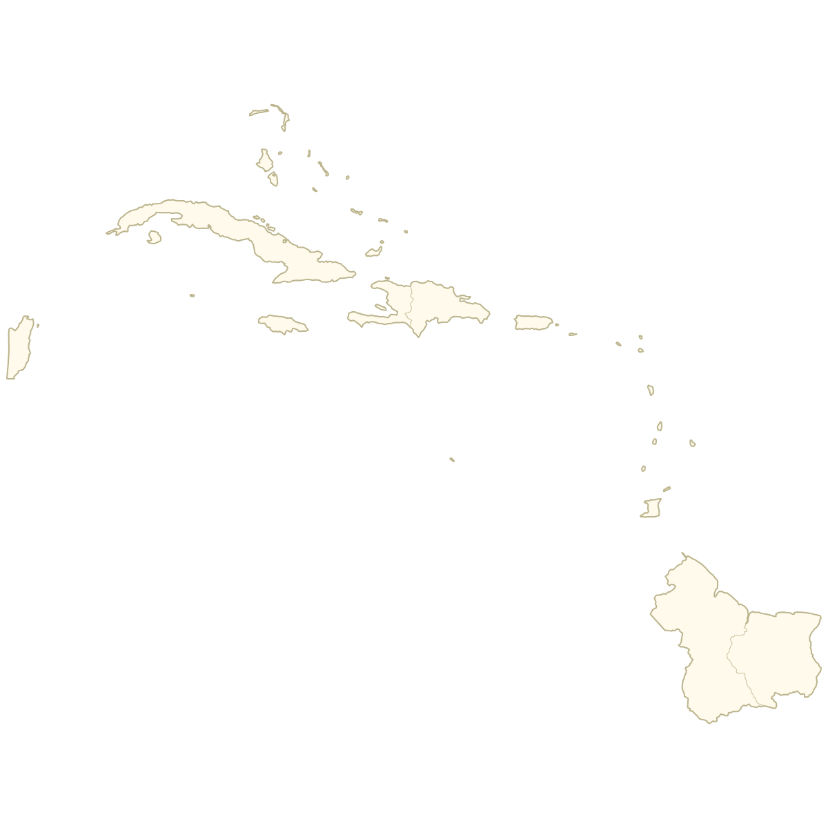
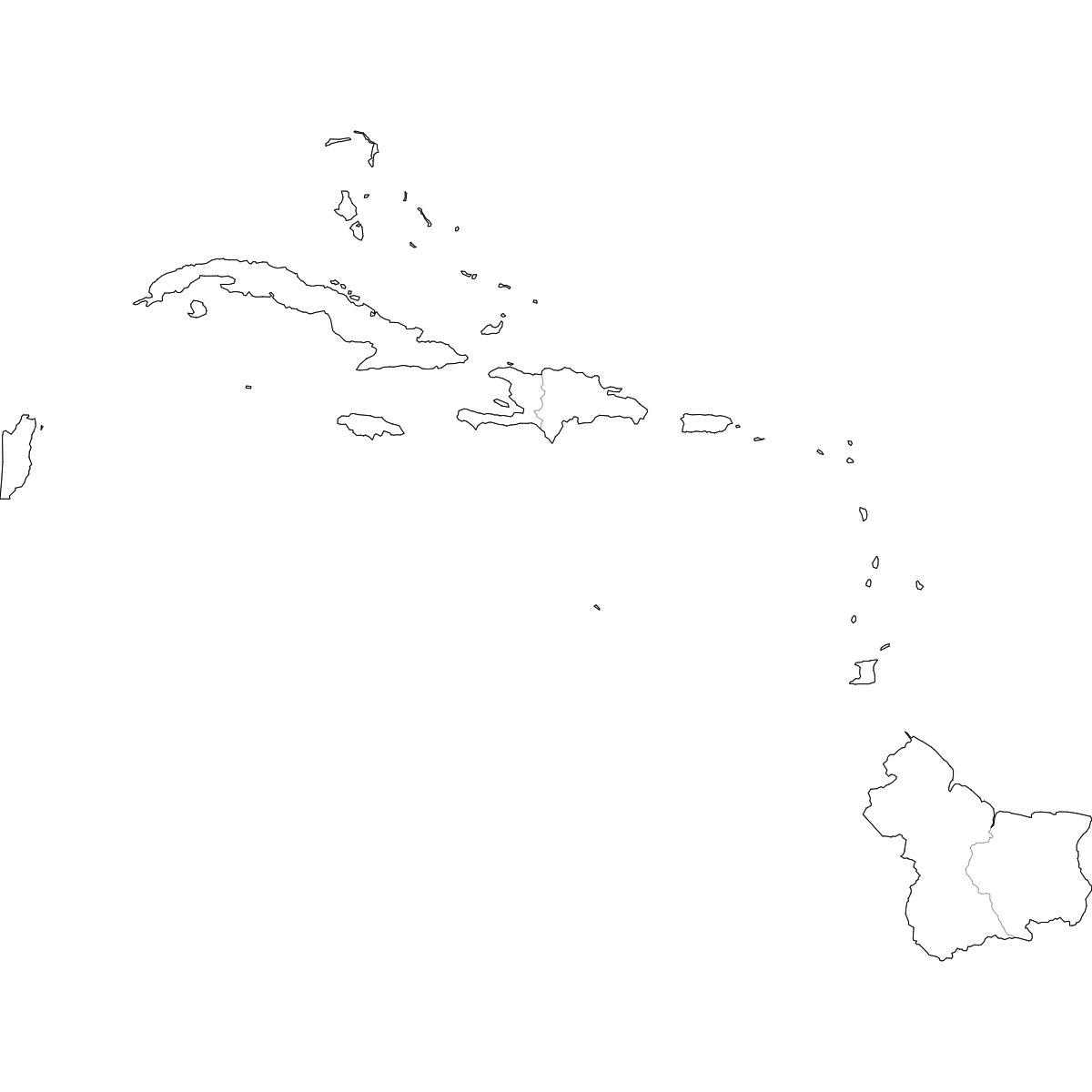
Unstyled Map of Caribbean Countries

Map of Caribbean Countries
Create a custom map of Caribbean countries and export it as a printable format or for use in your publication or presentation.
Color countries based on your data and place pins on the map to highlight specific locations.
Alternatively, develop an interactive map to share or embed on your website.
Map Details
This map is divided into 25 countries:
- Anguilla
- Antigua and Barbuda
- Aruba
- Bahamas
- Barbados
- Belize
- Bermuda
- British Virgin Islands
- Cayman Islands
- Cuba
- Dominica
- Dominican Republic
- Grenada
- Guyana
- Haiti
- Jamaica
- Montserrat
- Puerto Rico
- Saint Kitts and Nevis
- Saint Lucia
- Saint Vincent and the Grenadines
- Suriname
- Trinidad and Tobago
- Turks and Caicos Islands
- United States Virgin Islands
Check out the related maps below if you're looking for a different map of the same geographic region.
Related Maps
Free Downloads

You can download free blank Map of Caribbean Countries and other maps in high resolution PNG, SVG and PDF formats from the blank maps section of the site: Download Blank Map of Caribbean Countries
Updates
Oct 24, 2024:
- Added map of Caribbean countries