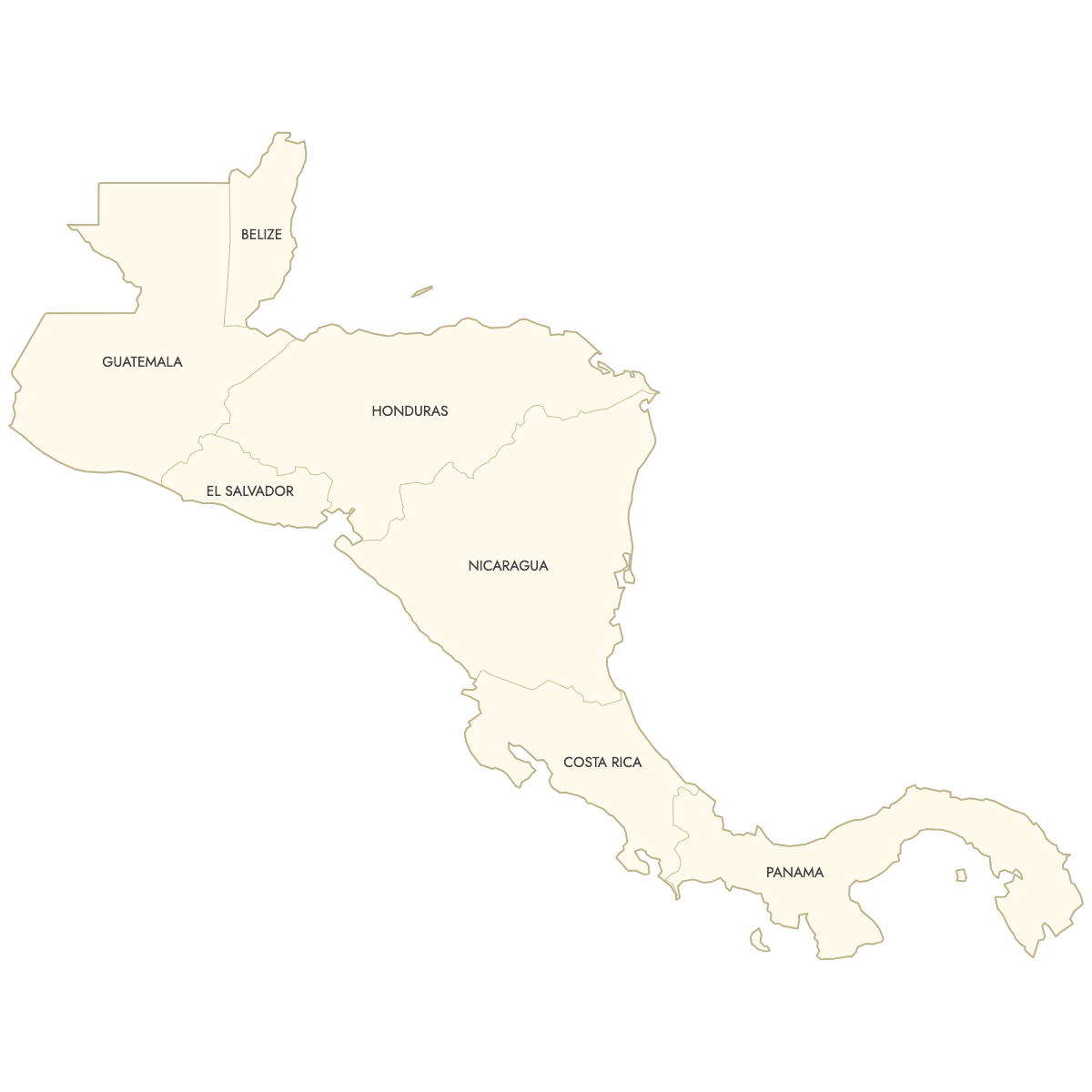
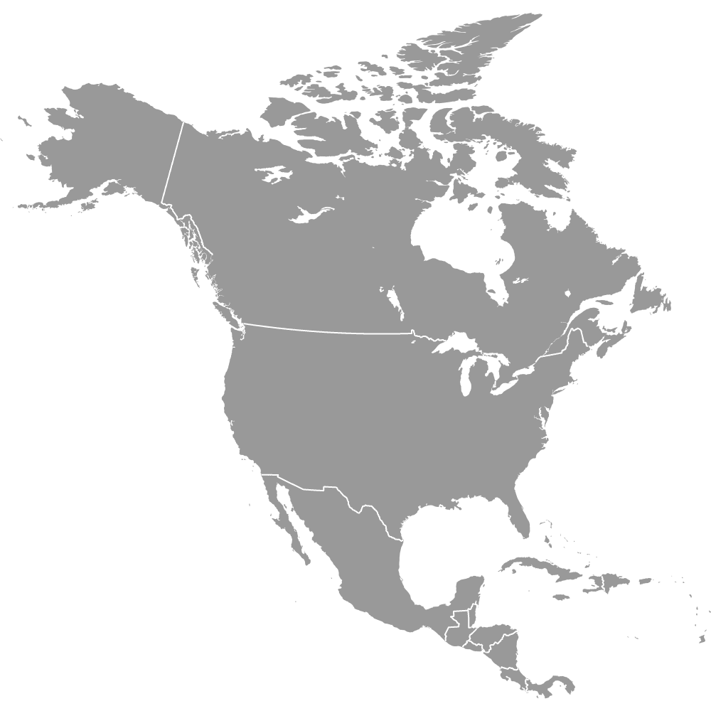
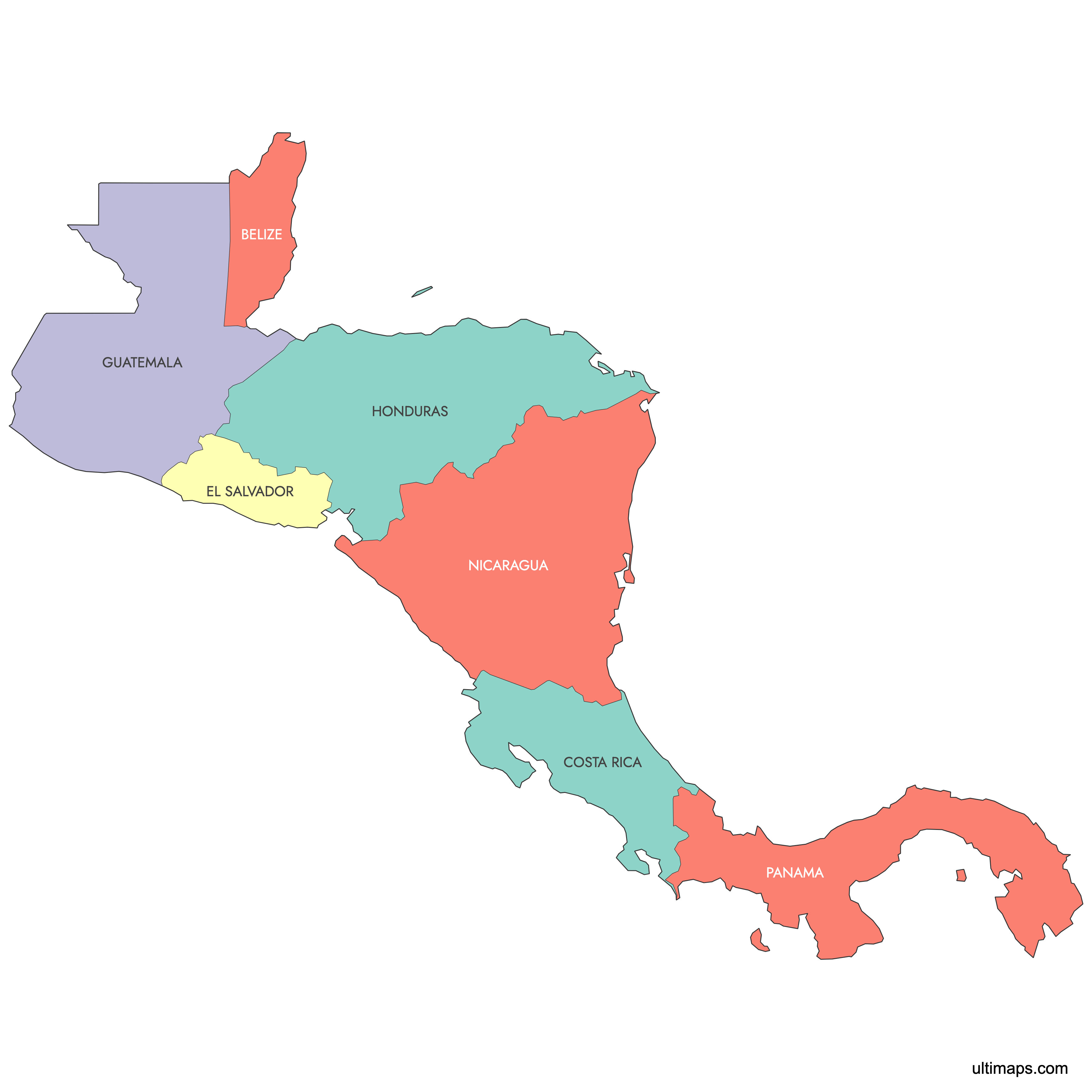
Map of Central America
Create a personalized map of Central America countries, with our flexible customization options. Perfect for anyone wanting to print or further extend their maps, you can export them in high-resolution PNG and SVG formats, making them suitable for professional presentations and educational use.
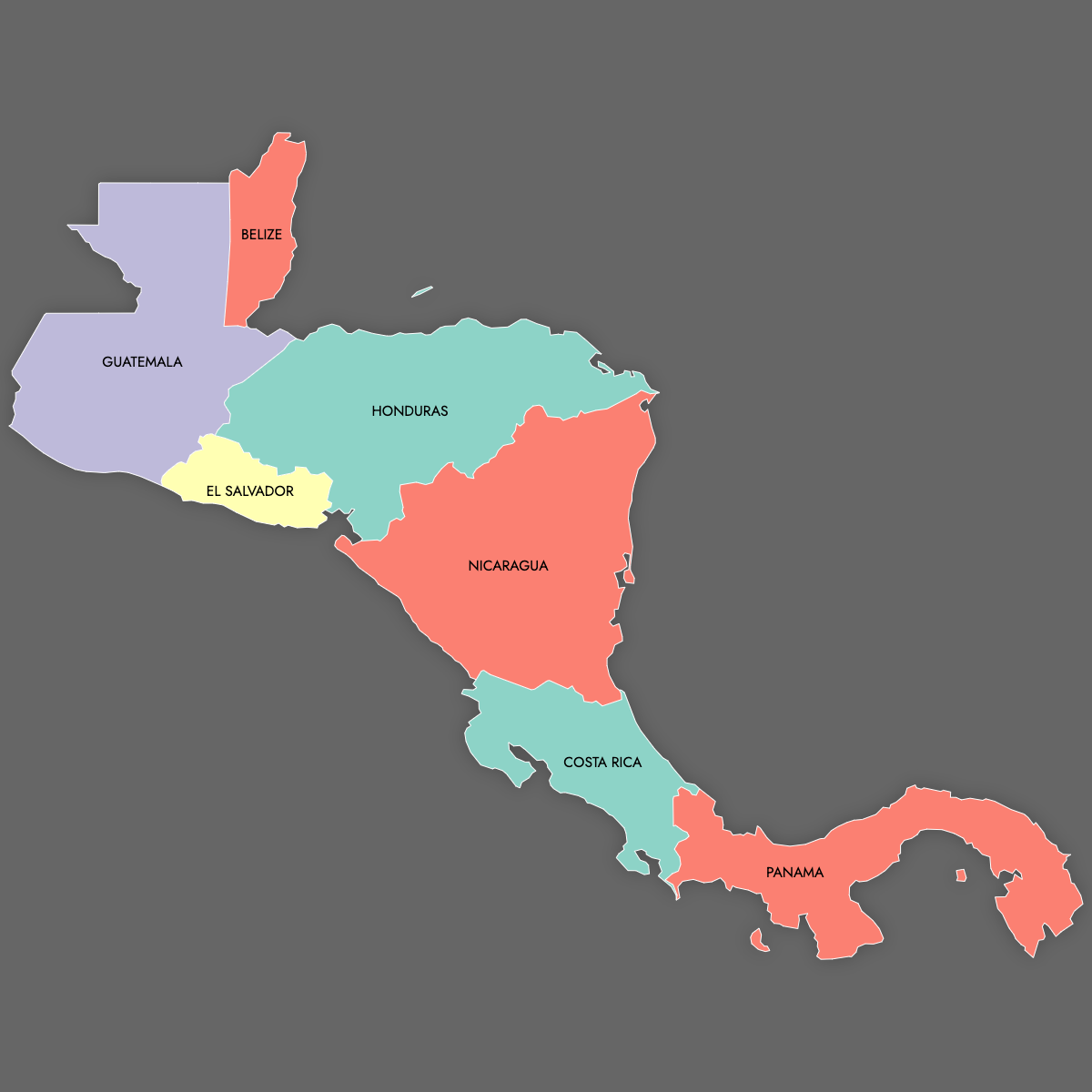
Fill the countries with colors based on data from Excel, Google Sheets, or CSV files, and add pins to highlight particular locations on the map. Alternatively, you can manually color the countries or let our AI guide you.
For online use, create an interactive map of Central American countries that offers additional information. Visitors can explore the map by hovering over or clicking on specific regions, making it ideal for online platforms that aim to engage users with detailed geographical insights.
Map Details
This map supports labels.
This map is divided into 7 regions:
- Belize
- Costa Rica
- El Salvador
- Guatemala
- Honduras
- Nicaragua
- Panama
Check out the related maps below if you're looking for a different map of the same geographic region.
Free Downloads
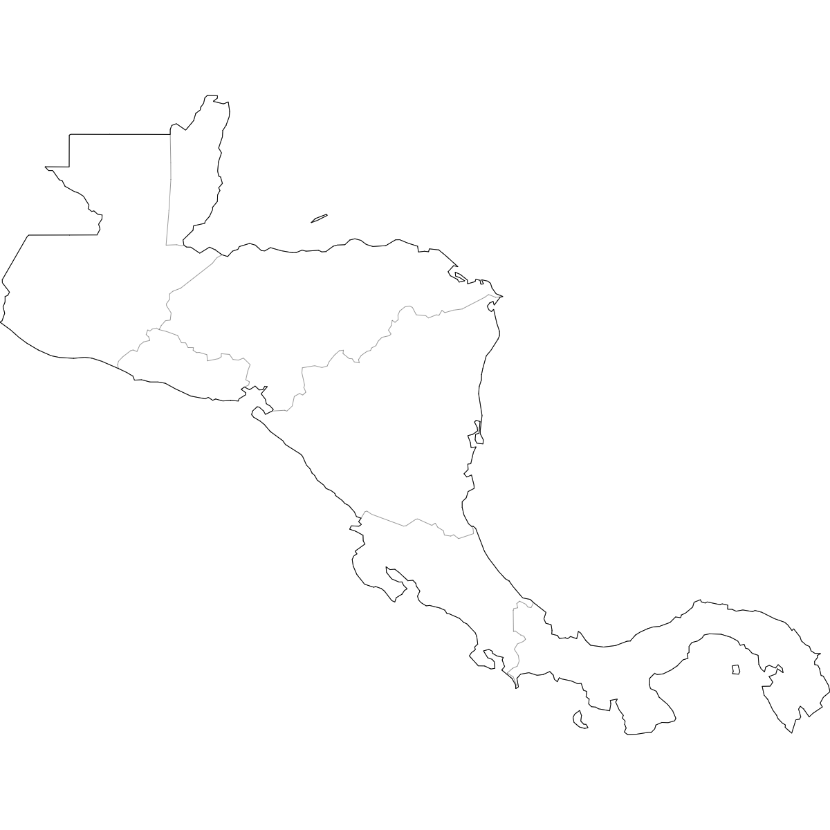
You can download free blank Map of Central America and other maps in high resolution PNG, SVG and PDF formats from the blank maps section of the site: Download Blank Map of Central America
Updates
Mar 11, 2025:
- Added map of Central America and its labeled version