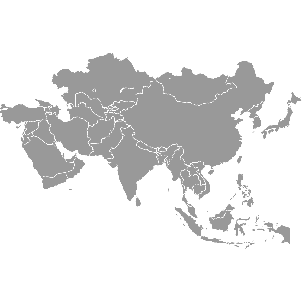
Map of Eurasia
Eurasia combines Europe and Asia, forming the largest continuous landmass on Earth. With a diverse range of cultures, languages, and landscapes, it includes 85 to 93 countries. Use the interactive maps below to explore Eurasia in detail. Download free maps or learn more about creating a custom map to visualize your data.
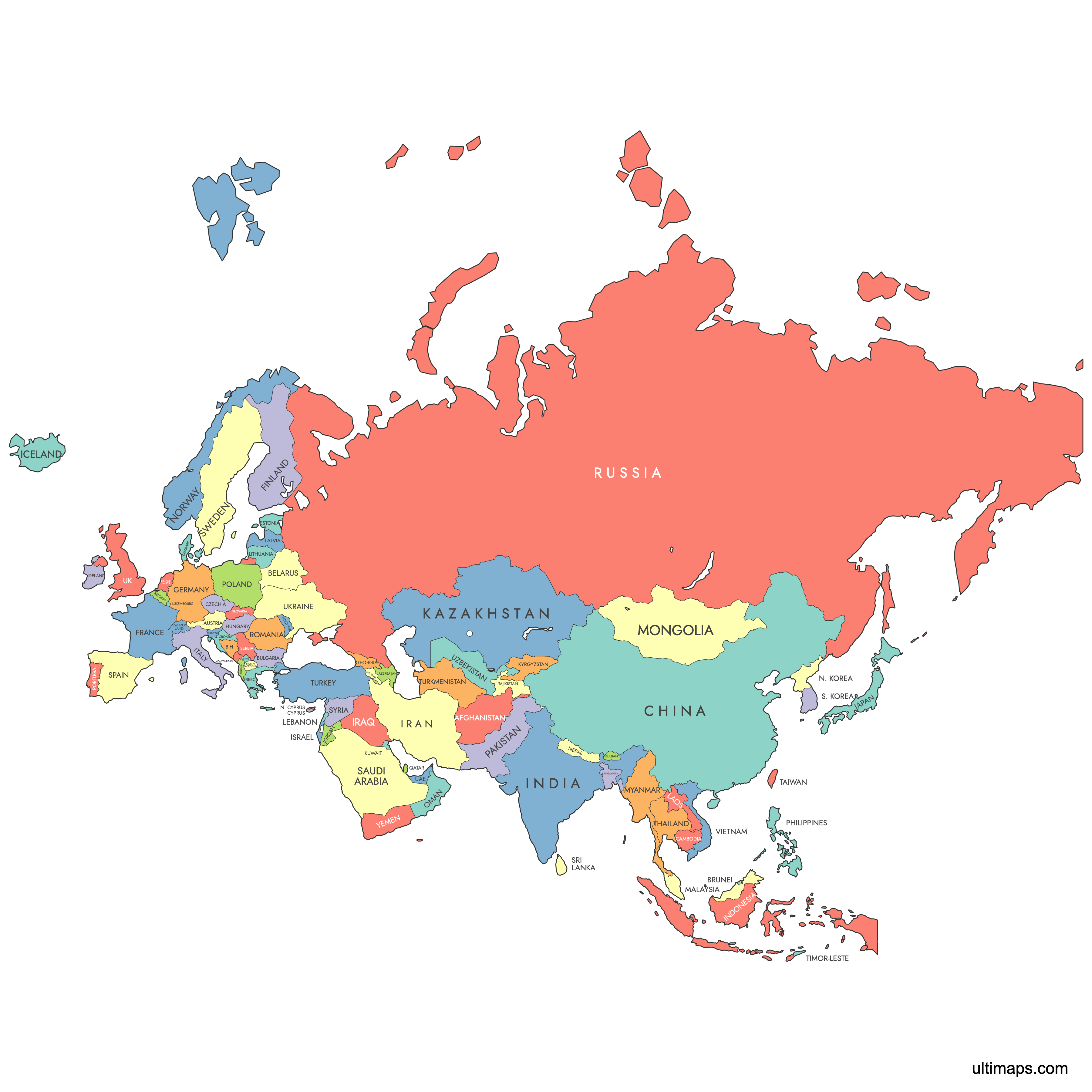
Interactive Map of Eurasia
List of Countries (85)
| # | Country |
|---|---|
| 1 | |
| 2 | |
| 3 | |
| 4 | |
| 5 | |
| 6 | |
| 7 | |
| 8 | |
| 9 | |
| 10 | |
| 11 | |
| 12 | |
| 13 | |
| 14 | |
| 15 | |
| 16 | |
| 17 | |
| 18 | |
| 19 | |
| 20 | |
| 21 | |
| 22 | |
| 23 | |
| 24 | |
| 25 | |
| 26 | |
| 27 | |
| 28 | |
| 29 | |
| 30 | |
| 31 | |
| 32 | |
| 33 | |
| 34 | |
| 35 | |
| 36 | |
| 37 | |
| 38 | |
| 39 | |
| 40 | |
| 41 | |
| 42 | |
| 43 | |
| 44 | |
| 45 | |
| 46 | |
| 47 | |
| 48 | |
| 49 | |
| 50 | |
| 51 | |
| 52 | |
| 53 | |
| 54 | |
| 55 | |
| 56 | |
| 57 | |
| 58 | |
| 59 | |
| 60 | |
| 61 | |
| 62 | |
| 63 | |
| 64 | |
| 65 | |
| 66 | |
| 67 | |
| 68 | |
| 69 | |
| 70 | |
| 71 | |
| 72 | |
| 73 | |
| 74 | |
| 75 | |
| 76 | |
| 77 | |
| 78 | |
| 79 | |
| 80 | |
| 81 | |
| 82 | |
| 83 | |
| 84 | |
| 85 |
Eurasia: Key Facts
- Area: 55 million square kilometers (21 million square miles)
- Population: Over 5.4 billion people
- Number of Countries: 85 to 93
- Largest Country by Area: Russia, 17,125,242 sq km (6,612,093 sq mi)
- Most Populous Country: China, over 1.4 billion people
- Smallest Country by Area: Vatican City, 0.44 sq km (0.17 sq mi)
- Least Populous Country: Vatican City, around 800 residents
- Major Urban Centers: Moscow, London, Paris, Istanbul, Beijing, Tokyo, Shanghai, Delhi
- Boundaries: Bordered by the Atlantic Ocean (west), Pacific Ocean (east), Arctic Ocean (north), Indian Ocean, Mediterranean Sea, and Africa (south)
- Time Zones: Spans from UTC+0 to UTC+12
- Geological Plate: Eurasian tectonic plate
- Islands Included: Japan, the Philippines, Crete, Sicily, and parts of Indonesia
Interesting and Fun Facts
- Supercontinent: Eurasia is sometimes combined with Africa to form Afro-Eurasia.
- Population Density: Southeast Asia, South Asia, and Eastern Europe are among the most densely populated regions globally.
- Longest Rivers: The Yangtze (6,300 km) and Volga (3,530 km) are among the longest rivers in Eurasia.
- Cultural Diversity: Home to thousands of languages and ethnic groups.
- Historical Trade Routes: The Silk Road connected China with Europe.
Free Downloads
You can download free blank Map of Eurasia and other maps in high resolution PNG, SVG and PDF formats from the blank maps section of the site: Download Blank Map of Eurasia
Custom Map Features
This map supports labels.
This map is divided into 85 countries.
Updates
Jan 8, 2025:
- Added country names to the map of Eurasia
July 22, 2024:
- Added map of Eurasia
Frequently Asked Questions
Eurasia is the combined continental landmass of Europe and Asia, forming the largest continuous land area on Earth, covering about 55 million square kilometers (21 million square miles) and home to over 5.4 billion people.
Depending on the definition, Eurasia includes 85 to 93 countries and up to 14 dependent territories.
Eurasia is bordered by the Atlantic Ocean (west), Pacific Ocean (east), Arctic Ocean (north), and Indian Ocean, Mediterranean Sea, and Africa (south).
Russia is the largest, covering 17,125,242 sq km (6,612,093 sq mi).
China is the most populous, with over 1.4 billion people.
You can use Ultimaps to create custom maps of Eurasia. Customize regions, add data, and export to formats like PNG, PDF, or SVG.
Yes, you can download free printable maps of Eurasia from Ultimaps for personal or educational use.