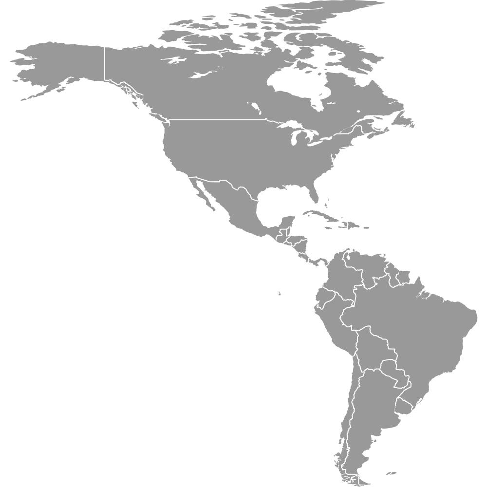
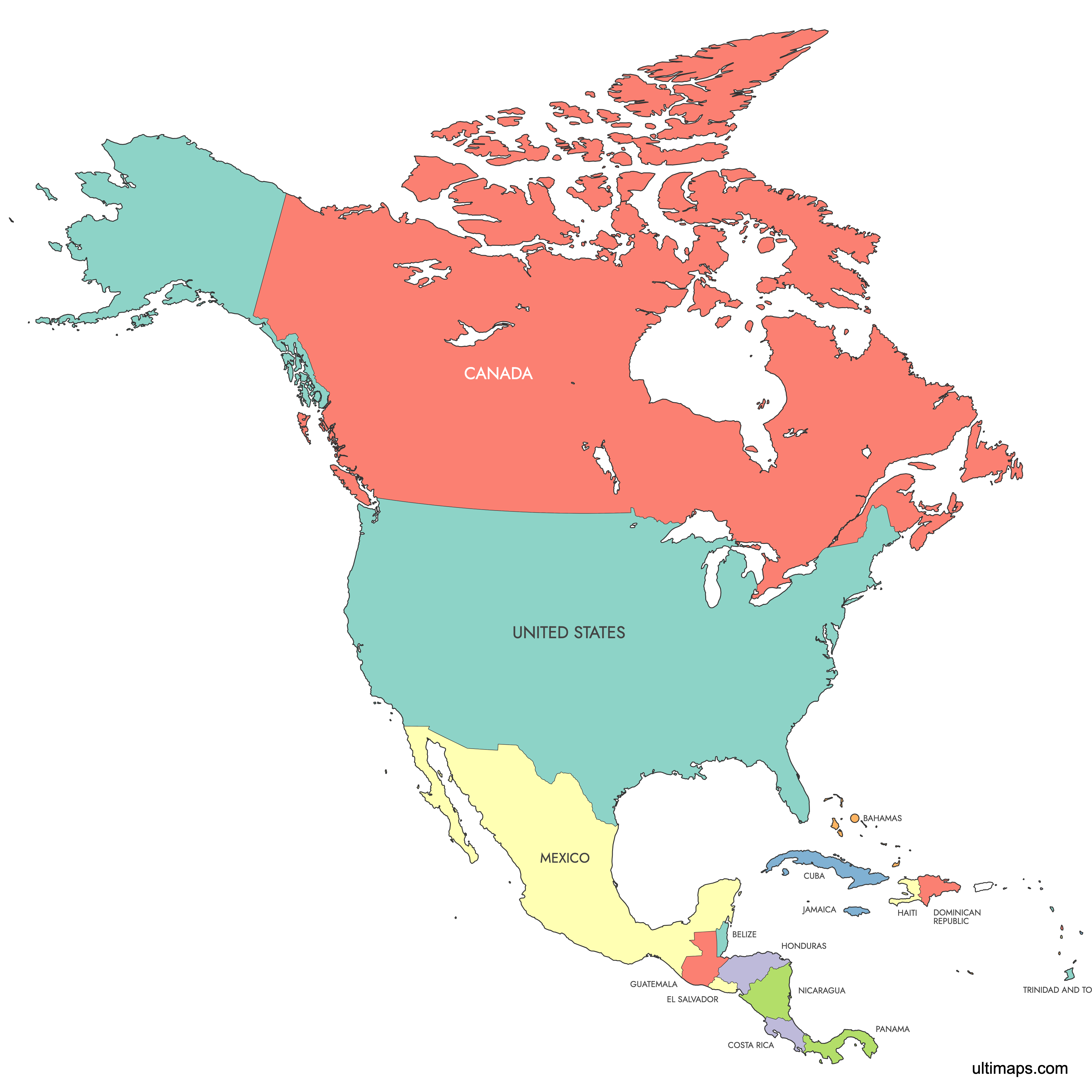
Map of North America
North America is the third-largest continent, covering 24,709,000 km² (9,540,000 sq mi) and comprising 23 sovereign countries plus numerous territories. The continent spans from Canada in the north to Panama in the south, bordered by the Arctic, Atlantic, and Pacific Oceans. Use the interactive maps below to explore North American countries and their boundaries. Download free maps or learn more about creating a custom map of North America to visualize your own data.
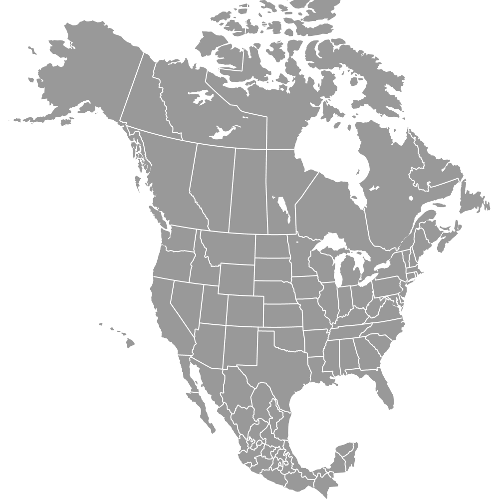
Interactive Map of North America
List of Countries (25)
| # | Country |
|---|---|
| 1 | |
| 2 | |
| 3 | |
| 4 | |
| 5 | |
| 6 | |
| 7 | |
| 8 | |
| 9 | |
| 10 | |
| 11 | |
| 12 | |
| 13 | |
| 14 | |
| 15 | |
| 16 | |
| 17 | |
| 18 | |
| 19 | |
| 20 | |
| 21 | |
| 22 | |
| 23 | |
| 24 | |
| 25 |
North America Countries: Key Facts
- Total number of countries: 23 sovereign nations plus numerous territories including Greenland, Bermuda, and Caribbean islands
- Most populous country: United States with 336,997,624 residents (recent estimate)
- Least populous country: Saint Kitts and Nevis with approximately 47,000 residents
- Largest country by area: Canada at 9,984,670 km² (3,855,100 sq mi)
- Smallest country by area: Saint Kitts and Nevis
- Major urban centers: Mexico City (Mexico), New York and Los Angeles (United States, 13,131,431 metro), Toronto (Canada, 6,054,191 metro)
- Political centers: Washington, D.C. (United States), Ottawa (Canada), Mexico City (Mexico)
- Borders: Arctic Ocean (north), Atlantic Ocean (east), Pacific Ocean (west), Caribbean Sea and Gulf of Mexico (southeast), South America at the Darién Gap
- Time zones: UTC-10 to UTC-3, spanning from Alaska Time to Atlantic Time
- Recent boundary changes: U.S. added Hawaii as 50th state in 1959; Canada created Nunavut territory in 1999
Interesting Facts
- North America represents 16.5% of Earth's land area and has a total population of approximately 583,473,912.
- The Rocky Mountains dominate the western third of the continent, while the Appalachian Mountains stretch 1,500 miles from Alabama to Newfoundland.
- The Gulf of Mexico is the largest indenting body of water on the continent, followed by Hudson Bay and the Gulf of Saint Lawrence.
- Most of the continent lies on the North American Plate, with edges touching the Pacific, Caribbean, Juan de Fuca, and Cocos Plates.
- The Great Lakes form the largest freshwater system shared between two countries (Canada and United States).
Free Downloads
You can download free blank Map of North America and other maps in high resolution PNG, SVG and PDF formats from the blank maps section of the site: Download Blank Map of North America
Custom Map Features
This map is divided into 25 countries.
Updates
Mar 11, 2025:
- Added labeled version
Jul 14, 2024:
- Added map of North America
Frequently Asked Questions
North America has 23 sovereign countries plus numerous territories and possessions including Greenland (the world's largest island), Bermuda, and various Caribbean islands. The continent spans from Canada in the north through Central America to Panama in the south.
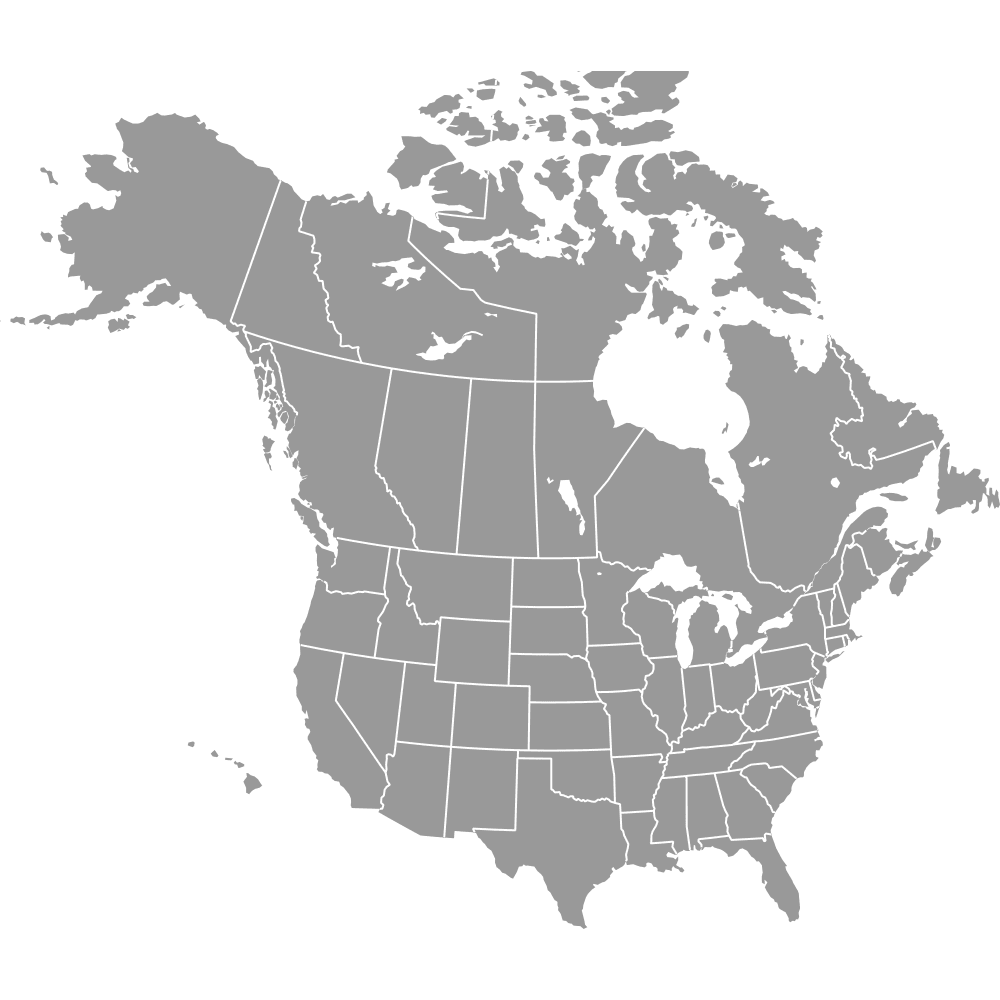
Canada is the largest country in North America at 9,984,670 km² (3,855,100 sq mi). It is also the second-largest country in the world by total area, stretching from the Atlantic to the Pacific and northward into the Arctic Ocean.
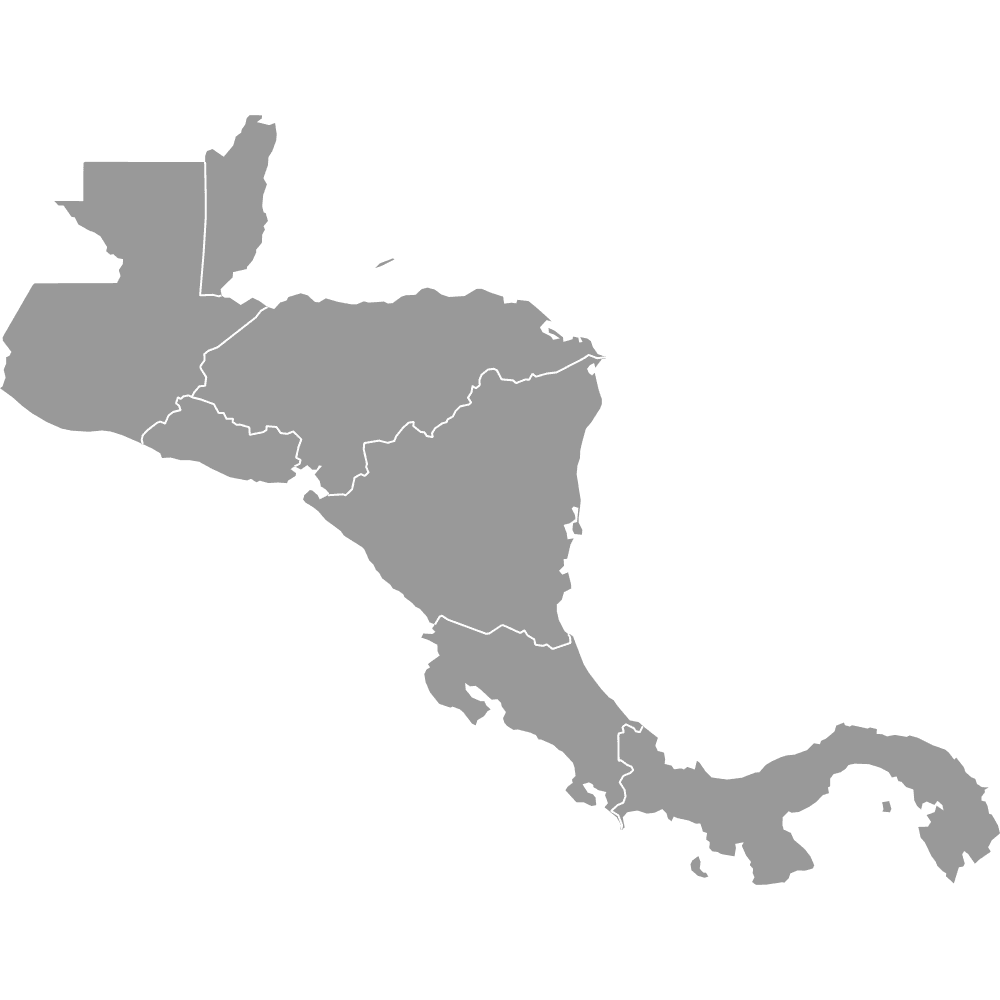
Saint Kitts and Nevis is the smallest sovereign country in North America. This Caribbean island nation is a two-island federation located in the Lesser Antilles. Among territories, the United States Virgin Islands covers 347 km² (134 sq mi).
The United States is the most populated country in North America with 336,997,624 residents. Major urban centers include New York, Los Angeles (13,131,431 metro population), and Chicago (9,537,289 metro population).
The Grand Canyon and Death Valley are located in the United States (Arizona and California respectively). The Rocky Mountains span both Canada and the United States across the western portion of the continent. Mexico City, located in Mexico, is the largest city in North America.
North America features the Rocky Mountains dominating the western third, the Appalachian Mountains stretching 1,500 miles along the east, and the Great Plains extending from the Gulf of Mexico to the Arctic. The Mississippi River System drains much of the central continent, and the Great Lakes form the world's largest freshwater system.
North America is bordered by the Arctic Ocean to the north, the Atlantic Ocean to the east, and the Pacific Ocean to the west. The Caribbean Sea and Gulf of Mexico border the southeast. Notable bays include the Gulf of Alaska, Hudson Bay, and Baffin Bay.
You can use Ultimaps to create custom maps of North America. Color-code countries manually or upload your data, place pins, customize the look and feel, and export to PNG, PDF, or SVG. No sign-up required.