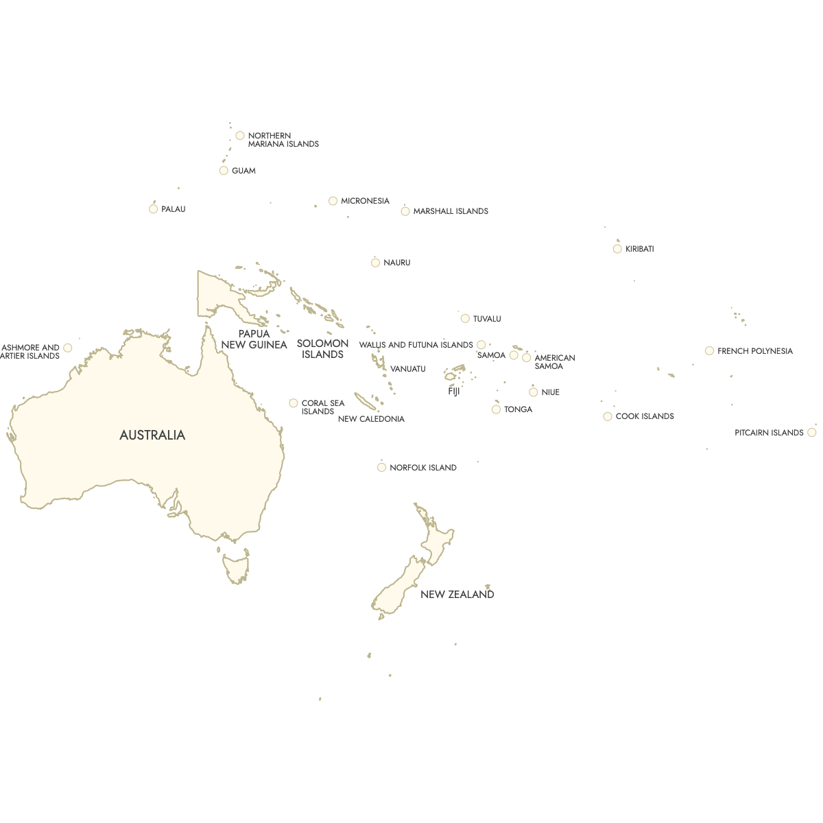
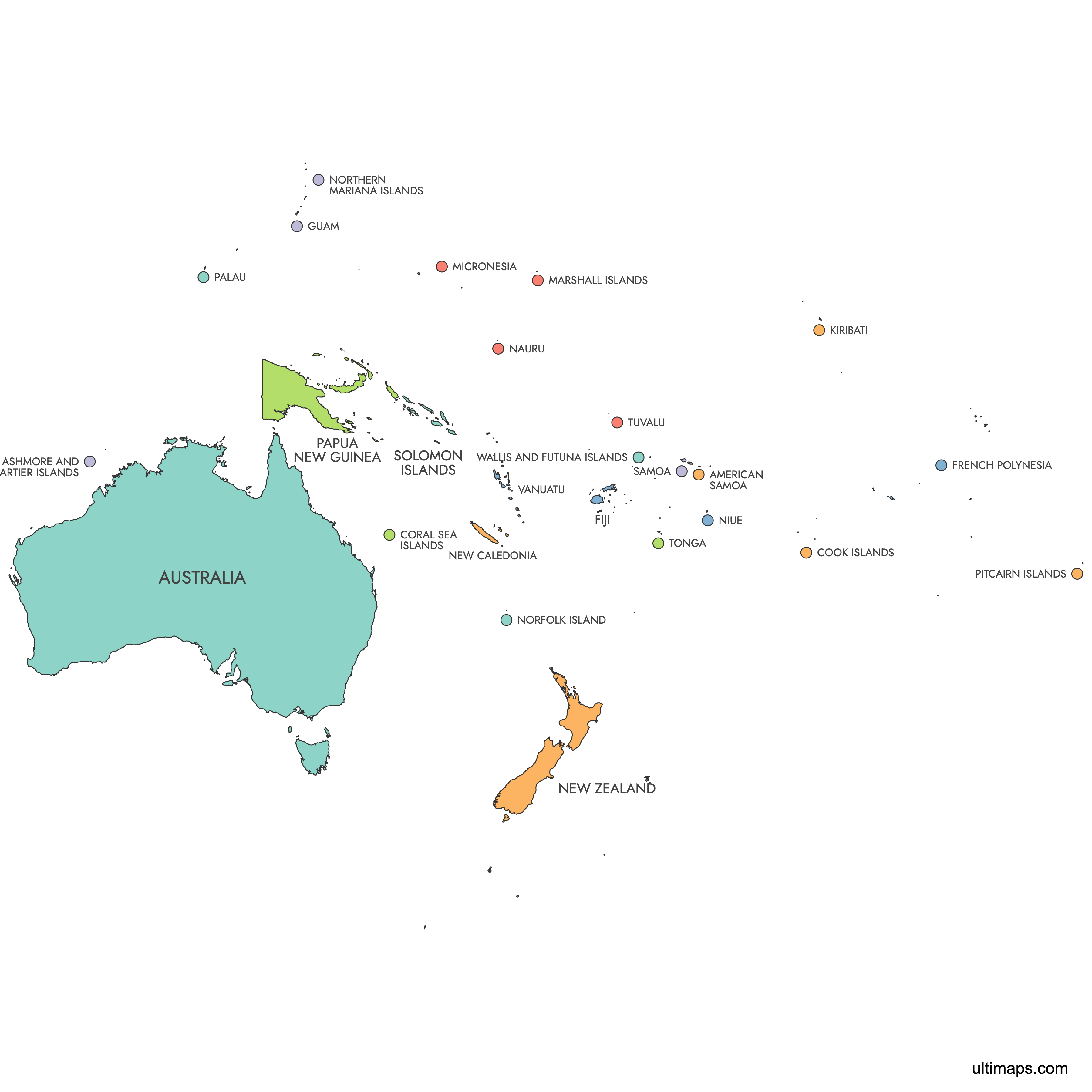
Map of Oceania
Create a personalized map of Oceania divided by countries, perfect for anyone looking to print or further extend their maps and export them in high-resolution PNG and SVG formats, making it suitable for both professional presentations and educational uses.
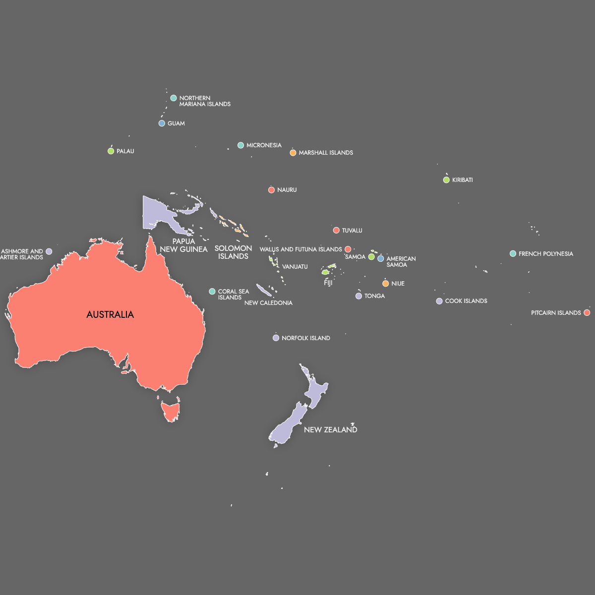
You can fill the countries with colors based on data from Excel, Google Sheets, or CSV files, and add pins to highlight specific locations on the map. Alternatively, you can choose to color the countries manually or let our AI assist you.
For web applications, create an interactive map of Oceania's countries that offers an extra layer of information. This feature allows visitors to explore the map by hovering over or clicking on specific regions, which is ideal for online platforms aiming to engage users with comprehensive geographical insights.
Map Details
This map supports labels.
This map is divided into 26 regions:
- American Samoa
- Ashmore and Cartier Islands
- Australia
- Cook Islands
- Coral Sea Islands
- Federated States of Micronesia
- Fiji
- French Polynesia
- Guam
- Kiribati
- Marshall Islands
- Nauru
- New Caledonia
- New Zealand
- Niue
- Norfolk Island
- Northern Mariana Islands
- Palau
- Papua New Guinea
- Pitcairn Islands
- Samoa
- Solomon Islands
- Tonga
- Tuvalu
- Vanuatu
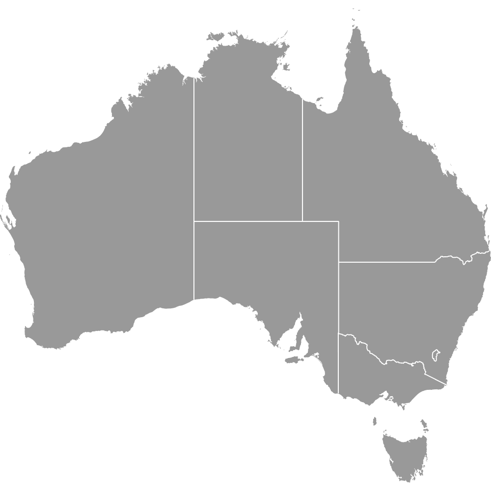
Check out the related maps below if you're looking for a different map of the same geographic region.

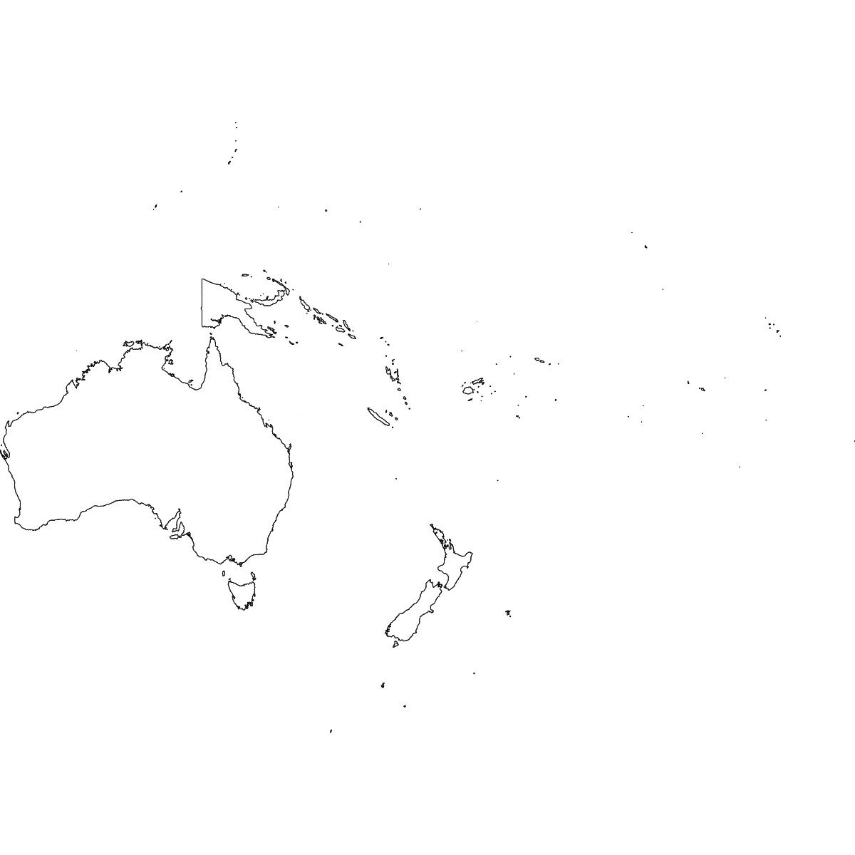
Free Downloads
You can download free blank Map of Oceania and other maps in high resolution PNG, SVG and PDF formats from the blank maps section of the site: Download Blank Map of Oceania
Updates
Mar 11, 2025:
- Added map of Oceania and its labeled version