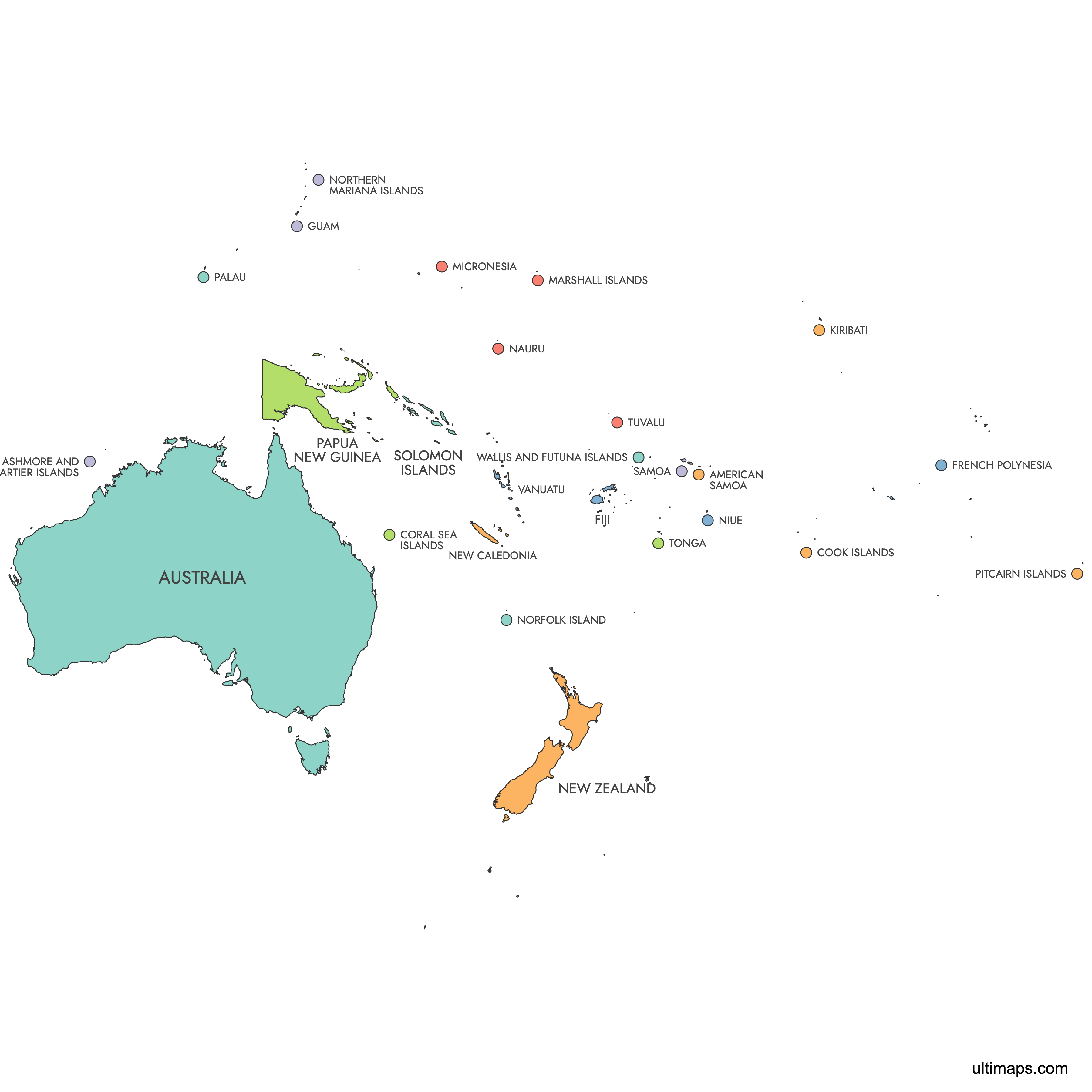
Map of Oceania
Oceania comprises 14 independent countries spread across Australasia, Melanesia, Micronesia, and Polynesia, from Australia to the small atolls of Tuvalu and Nauru. Use the interactive maps below to explore countries. Download free reference maps or learn more about creating a custom map of Oceania to visualize your own data.
Interactive Map of Oceania
List of Regions (26)
| # | Region |
|---|---|
| 1 | |
| 2 | |
| 3 | |
| 4 | |
| 5 | |
| 6 | |
| 7 | |
| 8 | |
| 9 | |
| 10 | |
| 11 | |
| 12 | |
| 13 | |
| 14 | |
| 15 | |
| 16 | |
| 17 | |
| 18 | |
| 19 | |
| 20 | |
| 21 | |
| 22 | |
| 23 | |
| 24 | |
| 25 | |
| 26 |
About Oceania
- Number of Countries: 14 independent countries.
- Largest Country by Area: Australia at 7,692,024 km² (2,969,907 sq mi).
- Smallest Country by Area: Nauru at 21 km² (8.1 sq mi).
- Most Populous Country: Australia with approximately 26,974,026 people (2025 estimate). Its largest city is Sydney.
- Least Populous Country: Tuvalu with approximately 9,492 people (2025 estimate).
- Total Population: Approximately 46.3 million (2024).
- Total Land Area: Approximately 9,000,000 km² (3,500,000 sq mi).
- Neighboring Regions: Southeast Asia (including Indonesia and the Philippines) to the west across the Arafura and Timor Seas, East Asia and North America across the North Pacific to the north, the Americas to the east across the Pacific Ocean, and the Southern Ocean and Antarctica to the south.
- Only Land Border: Papua New Guinea shares a land border with Indonesia on the island of New Guinea.
- Time Zones: Ranges from UTC+8 (Western Australia) to UTC+14 (Kiribati's Line Islands).
- Key Independence Dates: Australia federated on 1 January 1901. Samoa gained independence on 1 January 1962. Papua New Guinea became independent on 16 September 1975. Palau, the most recent, achieved sovereignty on 1 October 1994.
Interesting Facts
- Kiribati's Line Islands observe UTC+14, making them the first place on Earth to see each new calendar day and new year.
- Nauru, at just 21 km², is the smallest republic in the world and has no official capital. Government functions are based in Yaren District.
- Australia alone accounts for roughly 85% of Oceania's total land area, yet many of the region's 14 countries are tiny island nations scattered across millions of square kilometers of the Pacific Ocean.
- Palau's capital, Ngerulmud, is one of the least populated national capitals in the world, located inland on the island of Babeldaob in Melekeok State.
Free Downloads
You can download free blank Map of Oceania and other maps in high resolution PNG, SVG and PDF formats from the blank maps section of the site: Download Blank Map of Oceania
Custom Map Features
This map supports labels.
This map is divided into 26 regions.
Updates
Mar 11, 2025:
- Added map of Oceania and its labeled version
Frequently Asked Questions
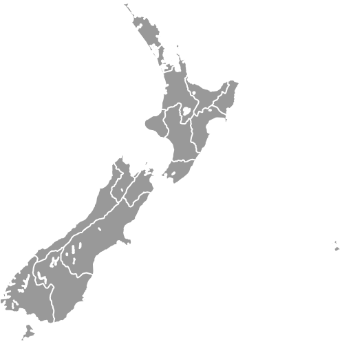
Oceania has 14 independent countries recognized by the United Nations. These span four sub-regions: Australasia (Australia, New Zealand), Melanesia (Papua New Guinea, Fiji, Solomon Islands, Vanuatu), Micronesia (Kiribati, Nauru, Palau, Marshall Islands, Federated States of Micronesia), and Polynesia (Samoa, Tonga, Tuvalu). The region also includes numerous dependent territories and associated states such as French Polynesia, New Caledonia, and Guam.
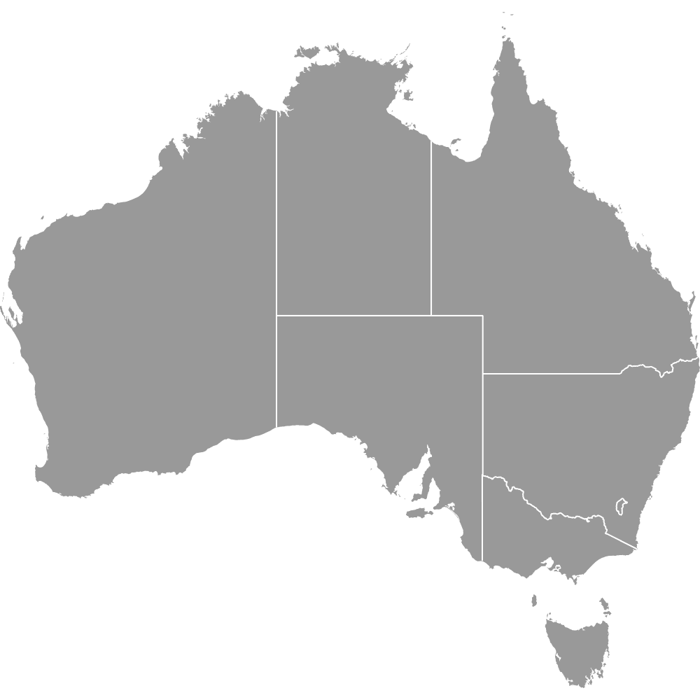
Australia is by far the largest country in Oceania, covering approximately 7,692,024 km² (2,969,907 sq mi). It accounts for roughly 85% of the region's total land area. The next largest country, Papua New Guinea, is significantly smaller in comparison.
Nauru is the smallest country in Oceania at just 21 km² (8.1 sq mi). It is also the smallest republic in the world. Nauru has no official capital, with government offices located in Yaren District.
Australia is the most populous country in Oceania with an estimated 26,974,026 people as of 2025. Its largest city is Sydney, which also serves as the largest city in the entire region. Papua New Guinea is the second most populous country at approximately 10,762,817 people.
The Great Barrier Reef, the world's largest coral reef system, lies off the coast of Queensland in Australia. Uluru (Ayers Rock), a famous sandstone monolith, is located in Australia's Northern Territory. Milford Sound in New Zealand's Fiordland region is known for its dramatic fjord landscapes. Majuro Atoll serves as the capital and main urban center of the Marshall Islands.
Oceania is almost entirely surrounded by the Pacific Ocean. To the west, it borders Southeast Asia, including Indonesia and the Philippines, across the Arafura and Timor Seas. To the south lies the Southern Ocean and Antarctica. The only land border between an Oceania country and an outside neighbor is between Papua New Guinea and Indonesia on the island of New Guinea.
You can use Ultimaps to create custom maps of Oceania. Color-code regions manually or upload your data, place pins, customize the look, and export to PNG, PDF, or SVG. No sign-up required.