Thailand Map with Provinces
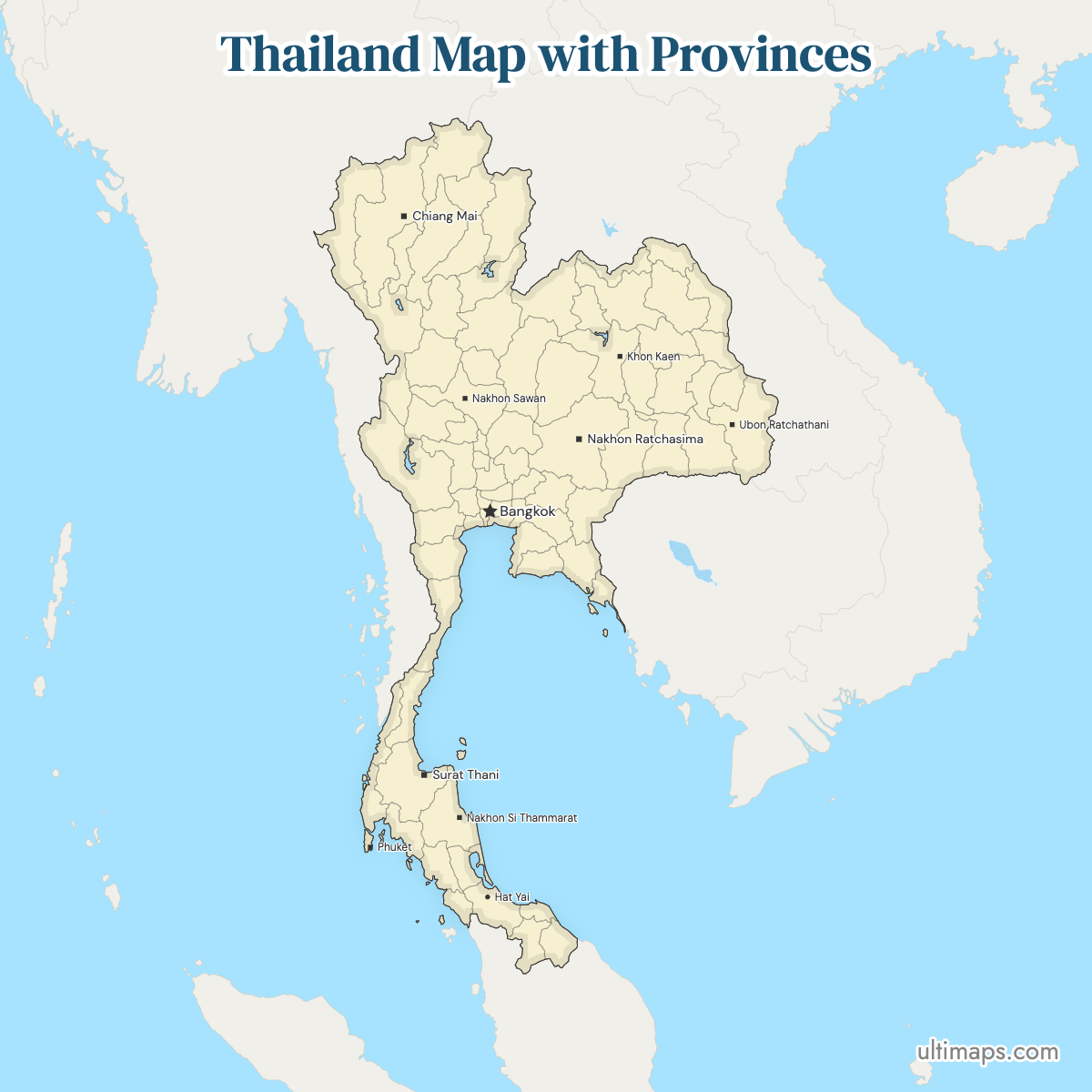
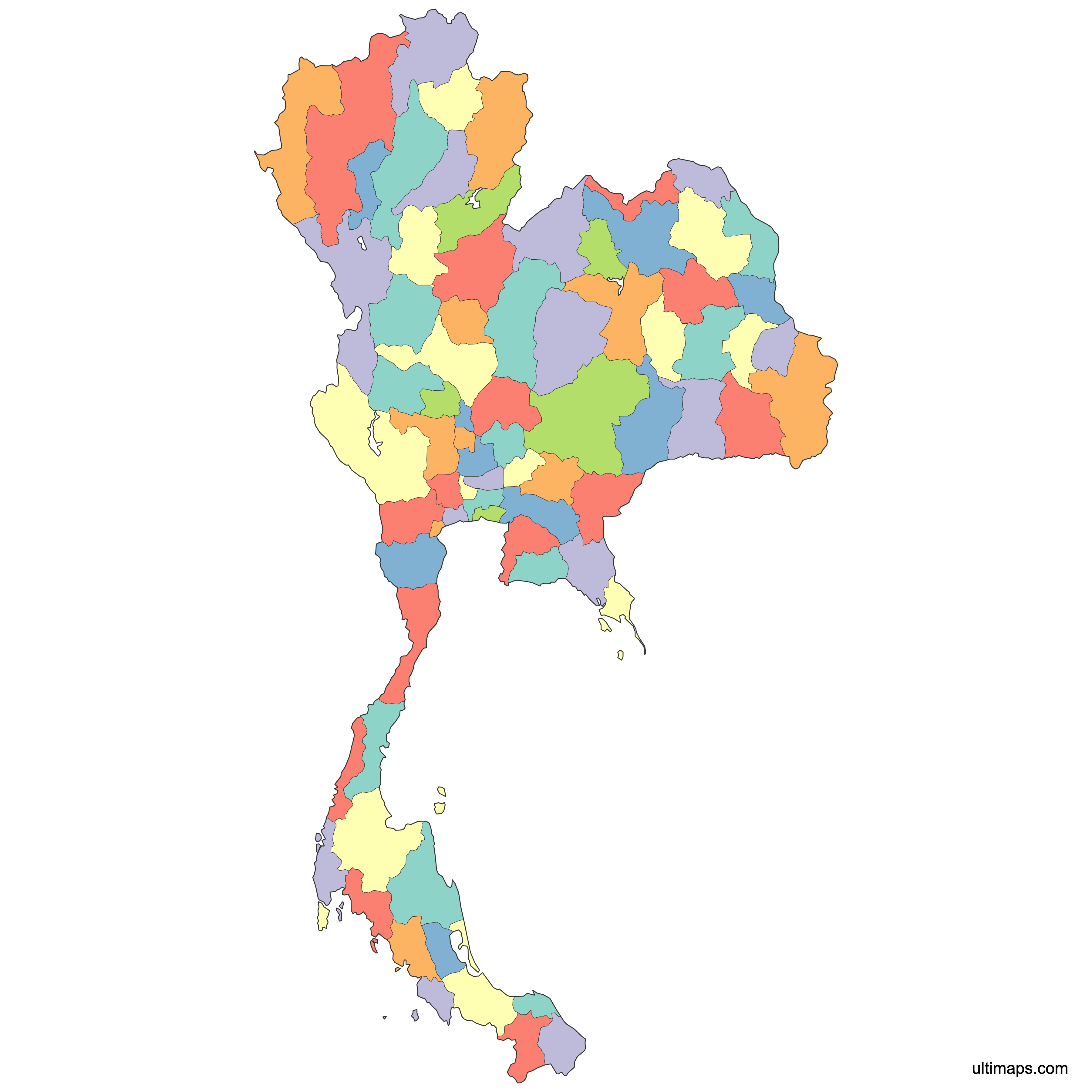
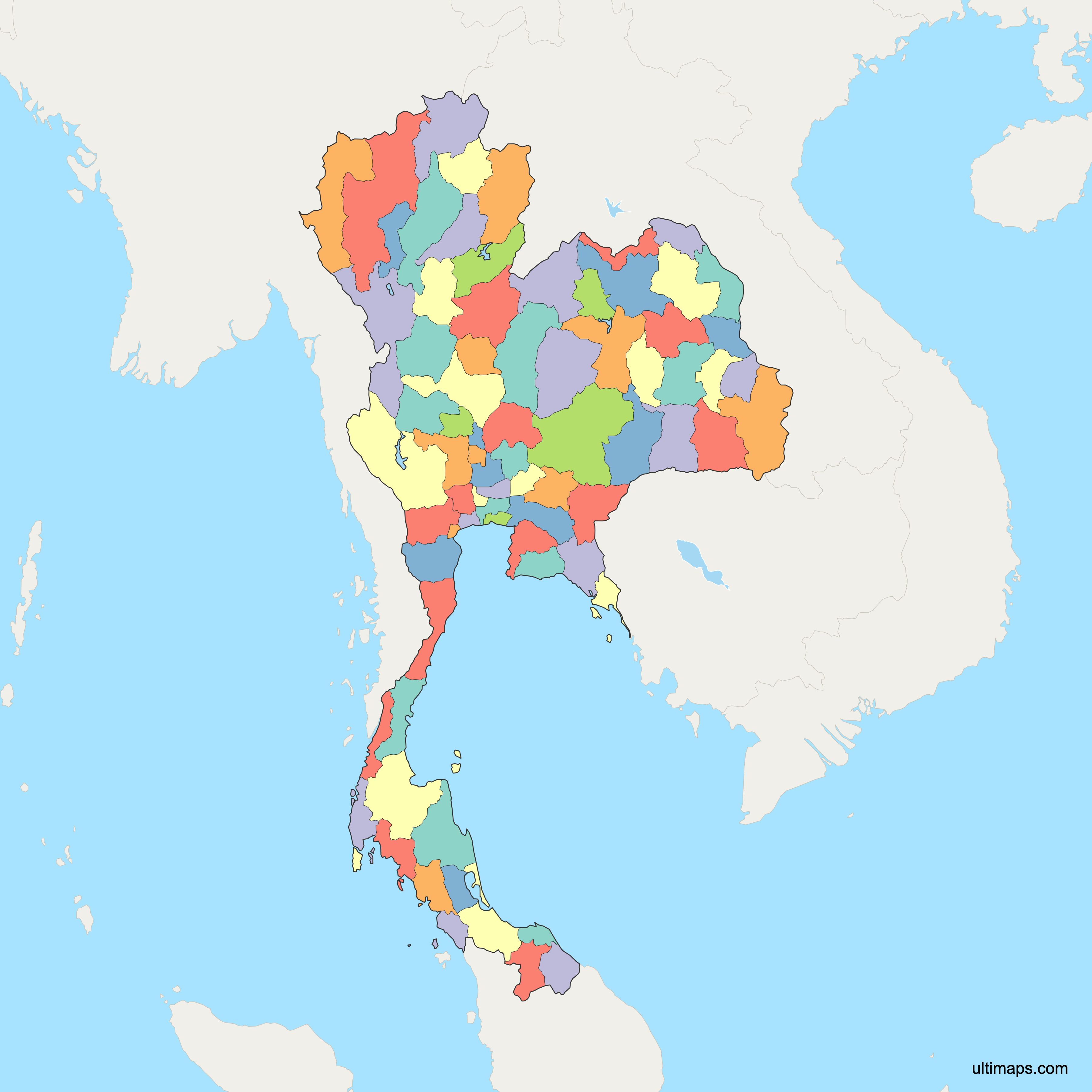
Thailand's first level of administration consists of 76 provinces, called changwat, plus Bangkok, which is run as a special administrative area with an elected governor. Together they make the 77 units drawn on the map below. Each province takes its name from its capital town and is subdivided into districts (amphoe), while Bangkok uses khet districts instead. Nakhon Ratchasima is the most populous province with 2,620,172 registered residents (December 2024), while Bangkok itself counts 5,455,019. Statistical agencies, weather services and travel publishers usually sort the 77 units into six regions: North, Northeast, Central, East, West and South. The country stretches from the Mekong border with Laos down a peninsula between the Andaman Sea and the Gulf of Thailand, so provinces range from landlocked highlands to island districts.
Every boundary on the map is clickable, so you can check exactly where one province ends and the next begins. The plain outline is free to download for a report, a lesson or a slide. If you have figures broken down by province, load them in and the same outline becomes a shaded data map.
Interactive Thailand Map with Provinces
List of Provinces (77)
Thailand Provinces: Key Facts
- Total number of provinces: 77 units on this map (76 provinces plus Bangkok, a special administrative area). That is more first-level divisions than any neighboring mainland state, including Cambodia and Myanmar.
- Most populous unit: Bangkok, about 5.5 million registered residents (December 2024 registration data); the wider Bangkok metropolitan area is commonly estimated at around 11 million.
- Least populous province: Samut Songkhram, about 187,000 (December 2024 registration data), just below Ranong at roughly 193,000.
- Largest province by area: Chiang Mai, 22,311 km² (8,614 sq mi), ahead of Nakhon Ratchasima at 20,736 km² (8,006 sq mi) per the current area tables (Wikipedia, 2024); older official tables reversed the order.
- Smallest province by area: Samut Songkhram, 414 km² (160 sq mi), on the Gulf coast southwest of Bangkok (Wikipedia province table, 2024).
- Provinces with major urban centers: Chiang Mai (Chiang Mai), Chon Buri (Pattaya), Songkhla (Hat Yai), Khon Kaen, Udon Thani, Ubon Ratchathani, Nakhon Ratchasima, Nakhon Si Thammarat, Surat Thani, Rayong and Chiang Rai.
- Capital: Bangkok, seat of the national government and the country's dominant economic center.
- Borders: Myanmar to the west and northwest, Laos to the north and northeast, Cambodia to the southeast and Malaysia to the south, with coastlines on the Andaman Sea and the Gulf of Thailand.
- Time zone: Indochina Time (ICT), UTC+7, nationwide, with no daylight saving changes.
- Boundary history: the present 77-unit layout dates from 23 March 2011, when Bueng Kan was separated from Nong Khai; no province has been created or merged since.
Interesting Facts
- Samut Songkhram holds two records at once: it is the smallest province by area at 414 km² (160 sq mi) and the least populous at roughly 187,000 people (December 2024).
- Bueng Kan, carved out of Nong Khai in 2011, is the newest province and sits directly across the Mekong from Laos.
- Doi Inthanon National Park in Chiang Mai contains Thailand's highest point, while Khao Yai National Park crosses four provincial boundaries: Nakhon Ratchasima, Prachin Buri, Nakhon Nayok and Saraburi.
- Phang Nga Province holds both Phang Nga Bay and the Similan Islands, and neighboring Phuket is essentially a single island province.
- Ayutthaya Historical Park, the ruined capital of the 1350–1767 kingdom, lies in Phra Nakhon Si Ayutthaya Province, about 80 km north of Bangkok.
Free Downloads
Free for personal and commercial use with a credit to Ultimaps. See the license terms for details.
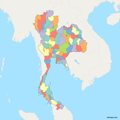
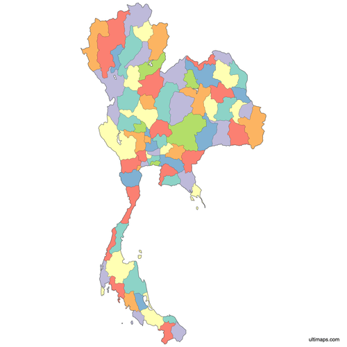 Colored Thailand Map with Provincespng651 KB
 Political Map of Thailand with Provincespng932 KB
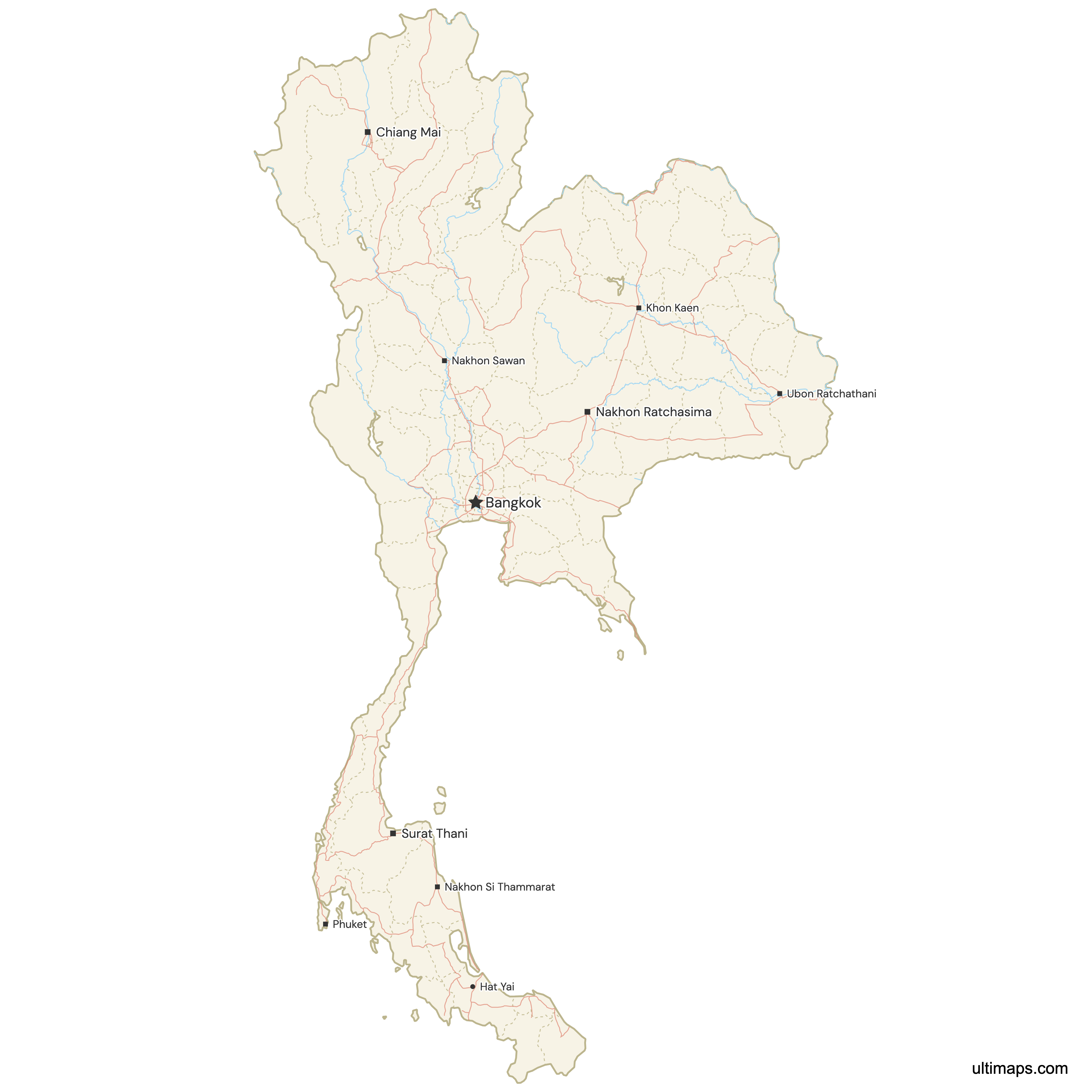
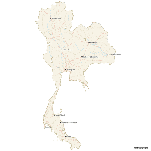 Map of Thailand with Cities and Roadspng898 KB
Need it without colors? The blank version of this map comes as a print-ready PDF (A4 and US Letter), a PNG and an editable SVG.
Custom Map Features
This map supports surrounding areas, roads, rivers and cities. New
This map is divided into 77 provinces.
Updates
May 14, 2026:
- Added map of Thailand Provinces with surrounding countries, cities, roads, rivers and lakes
Frequently Asked Questions
Thailand has 77 first-level administrative units: 76 provinces (changwat) and Bangkok, which is legally a special administrative area rather than a province. The map on this page draws all 77. The count has not changed since 2011, when Bueng Kan was split off from Nong Khai. Sizes vary sharply, from Chiang Mai at 22,311 km² (8,614 sq mi) down to Samut Songkhram at 414 km² (160 sq mi). For statistics, planning and tourism the 77 units are normally grouped into six regions: North, Northeast, Central, East, West and South.
Bangkok is not a province. It is classified as a special administrative area (Krung Thep Maha Nakhon) with an elected governor and 50 districts called khet, whereas the 76 provinces are headed by governors appointed by the Ministry of Interior and are subdivided into amphoe. On maps Bangkok is nevertheless drawn as one polygon alongside the provinces, which is why the total is 77 units. Its registered population is about 5.5 million (December 2024 registration data); estimates for the surrounding metropolitan region reach roughly 11 million.
Chiang Mai is Thailand's largest province at 22,311 km² (8,614 sq mi), according to current Thai province area tables (Wikipedia, 2024). Older official tables listed Nakhon Ratchasima (20,494 km²) first and Chiang Mai (20,107 km²) second; revised area figures adopted in 2025 reversed the order. It occupies the mountainous north and contains Doi Inthanon National Park, home to the country's highest summit. Nakhon Ratchasima in the Northeast comes second at 20,736 km² (8,006 sq mi) and serves as the gateway province to the Khorat Plateau. Both are far larger than the national average, and both are shown at full extent on the 77-unit map on this page.
Samut Songkhram is the smallest Thai province at 414 km² (160 sq mi), based on the current province area table (Wikipedia, 2024). It sits on the Gulf of Thailand about 70 km southwest of Bangkok, at the mouth of the Mae Klong River, and is known for salt pans, coconut groves and the Maeklong railway market. Chiang Mai, the largest province at 22,311 km² (8,614 sq mi), could contain it more than fifty times over. Samut Songkhram is also the country's least populous province, with about 187,000 registered residents in December 2024.
Bangkok records the largest population of any Thai first-level unit, with roughly 5.5 million registered residents in December 2024 registration data; counting commuters and unregistered residents across the metropolitan area pushes estimates to about 11 million. Nakhon Ratchasima is the most populous actual province, followed by Ubon Ratchathani, Chiang Mai and Khon Kaen. At the other end of the scale, Samut Songkhram has around 187,000 people and Ranong about 193,000 (December 2024), so density differences across Thailand's 77 units are extreme.
Thailand's 77 first-level units are most often grouped into six regions: North, Northeast (Isan), Central, East, West and South. That six-way scheme is the one used by the National Research Council of Thailand and by most modern reference maps. Some government and administrative sources still work with a simpler four-region grouping that folds East and West into the Central region. Neither grouping is a layer of government: regions carry no governor, budget or assembly, and all administration runs through the 76 provinces plus Bangkok.
Thailand's land borders touch four countries. The Myanmar frontier runs through Mae Hong Son, Chiang Mai, Chiang Rai, Tak, Kanchanaburi, Ratchaburi, Phetchaburi, Prachuap Khiri Khan, Chumphon and Ranong. The Laos border, largely the Mekong, follows Chiang Rai, Phayao, Nan, Uttaradit, Phitsanulok, Loei, Nong Khai, Bueng Kan, Nakhon Phanom, Mukdahan, Amnat Charoen and Ubon Ratchathani. Cambodia adjoins Ubon Ratchathani, Si Sa Ket, Surin, Buri Ram, Sa Kaeo, Chanthaburi and Trat. In the far south, Satun, Songkhla, Yala and Narathiwat meet Malaysia.
Bueng Kan, Thailand's newest province, was established on 23 March 2011 after eight districts were detached from Nong Khai. The change lifted the national total to the current 77 units (76 provinces plus Bangkok). Bueng Kan lies on the Mekong in the upper Northeast, facing Laos, and is one of the country's smaller provinces by population. No province has been added, abolished or merged since, so the boundaries drawn on this map match the administrative structure in force today.
Ultimaps works in your browser, so a custom Thailand map needs no installation and no account. You can color the provinces two ways: click them one at a time and set each fill yourself, or paste a column of values next to the province names and apply a graduated scale. Pins can be placed on Bangkok, Chiang Mai, Phuket or any coordinates you enter, each with an optional label. Typeface, outline thickness, background and legend visibility are separate settings. When the map is ready, export it as PNG, PDF or SVG.